Plizio Visual Lab
Mount Gramos
Weather…
Water temperature…
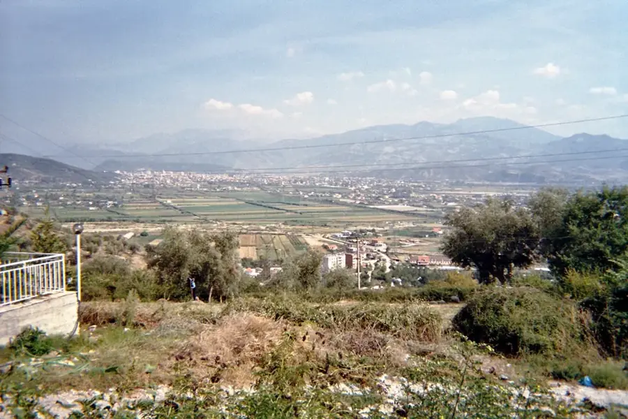
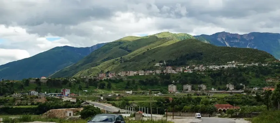
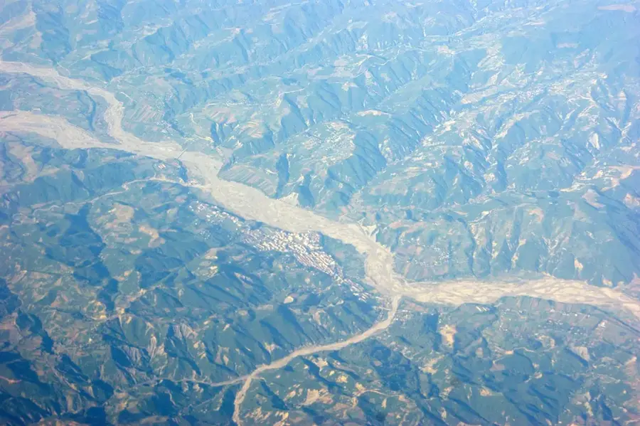
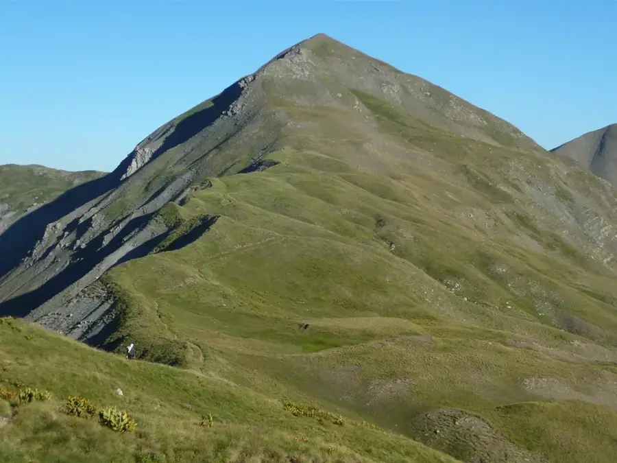
Mount Gramos (Mali i Gramosit) is a formidable mountain massif situated on the border between Albania and Greece, with its highest peak, Maja e Çukapecit, reaching 2,520 meters. As the northernmost extension of the Pindus mountain range, it serves as a critical hydrological divide, hosting the sources of both the Devoll and Haliacmon rivers. Geologically, the mountain is composed of limestone and flysch, creating a diverse landscape of sheer cliffs and expansive alpine meadows. Historically, Gramos is well-known as the site of the final and most intense battles of the Greek Civil War in 1949, which left a lasting impact on the region's geopolitical landscape. The mountain's flora is exceptionally diverse, featuring thick beech forests and rare sub-alpine plant species. Due to its rugged terrain and border location, it remains an essential habitat for large predators such as brown bears and wolves. During winter, the range is characterized by heavy snowfall and extreme conditions, making it one of the most remote and untouched areas in the southern Balkans.
- Location: Albania
- Top sights: Old hamlet · Pyramid
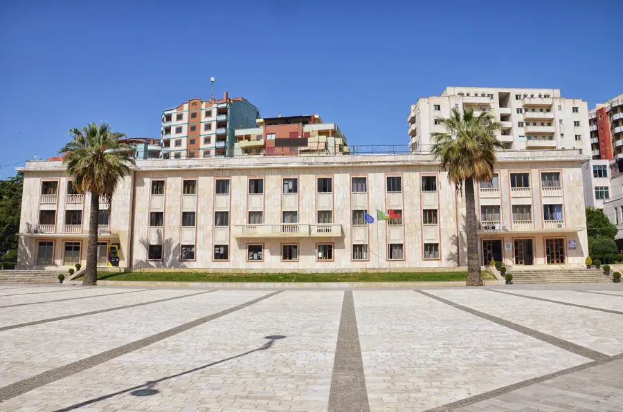
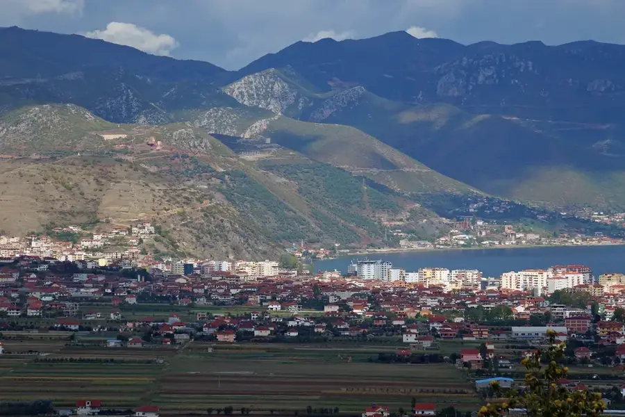
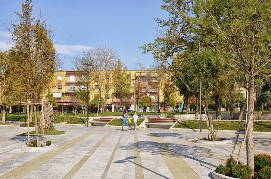
- Nearby: Ersekë (10 km)
Best time to visit & climate
The most pleasant time to visit is Jun–Aug.
| Jan | Feb | Mar | Apr | May | Jun | Jul | Aug | Sep | Oct | Nov | Dec | |
|---|---|---|---|---|---|---|---|---|---|---|---|---|
| Avg °C | 0 | 1 | 5 | 9 | 14 | 19 | 23 | 23 | 17 | 12 | 7 | 1 |
| Rain mm | 58 | 56 | 55 | 52 | 57 | 45 | 33 | 33 | 60 | 70 | 72 | 77 |
📋 Practical info
Geography
Facts
- Highest peak is Maja e Çukapecit at 2,520m
- Forms a natural border between Albania and Greece
- Source of the Devoll and Haliacmon rivers
- Key site of the 1949 Greek Civil War battles
- Part of the extensive Pindus mountain range
- Vital sanctuary for brown bears and wolves
Explore nearby
Notable places around
Route planner — Car & Motorhome
Where do you start? We build the route here, with stops and country notes along the way.
© OpenStreetMap contributors · OpenRouteService
Sights in the town Mount Gramos (2)
Sights nearby
Frequently asked questions
Where are the Gramos Mountains located?
How high is the highest peak of Gramos?
Are there mountain lakes in the Gramos Mountains?
What flora and fauna are typical?
Is the mountain range developed for tourism?
Mount Gramos: where is it located?
Mount Gramos: what is there to see?
Mount Gramos: when is the best time to visit?
Mount Gramos: why is it worth visiting?

Nearby cities