Plizio Visual Lab
Jabal Daka
Weather…
Water temperature…
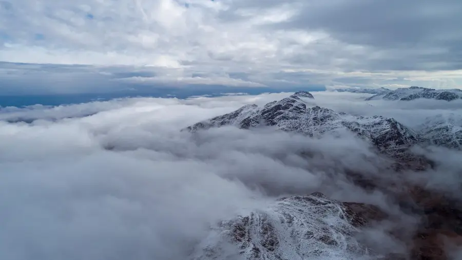
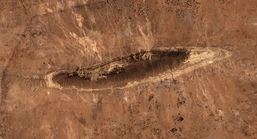
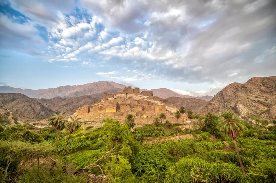
Jabal Daka is the highest peak in the Al-Shafa region near Taif, reaching an elevation of approximately 2,500 meters above sea level. It is a prominent part of the Sarawat Mountain range, which runs parallel to Saudi Arabia's western coast. The mountain's geography is characterized by rugged rocky terrain and precipitous cliffs that offer panoramic views of the Tihama coastal plains. Due to its significant altitude, Jabal Daka experiences a cool climate, with winter temperatures often dropping below freezing. The vegetation is relatively lush for the region, featuring juniper trees, wildflowers, and various medicinal herbs adapted to the alpine environment. The mountain is a good location for stargazing and astronomical observations due to the clear air and low light pollution. Paved roads extend near the summit, making the scenic viewpoints accessible to visitors and researchers alike. Jabal Daka serves as a crucial habitat for high-altitude bird species and small mammals, representing the natural beauty of the Saudi highlands. It remains a key landmark for environmental conservation and regional tourism.
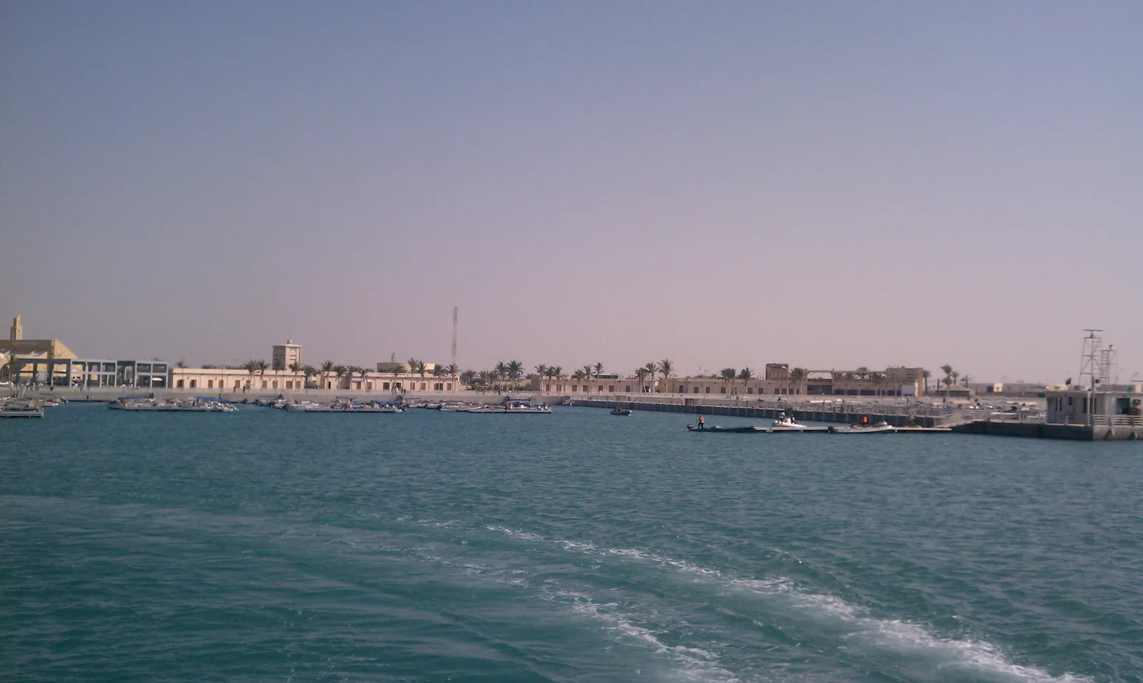
- Location: Saudi Arabia
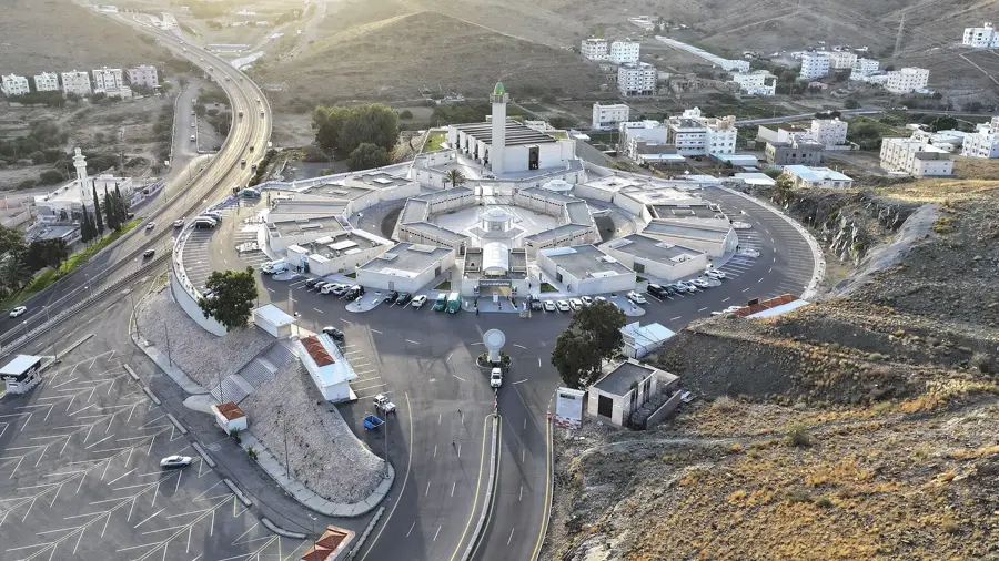
- Nearby: Ta'if (26 km)
Best time to visit & climate
The most pleasant time to visit is Jan, Feb, Dec.
| Jan | Feb | Mar | Apr | May | Jun | Jul | Aug | Sep | Oct | Nov | Dec | |
|---|---|---|---|---|---|---|---|---|---|---|---|---|
| Avg °C | 22 | 24 | 26 | 29 | 33 | 35 | 35 | 34 | 34 | 30 | 26 | 23 |
| Rain mm | 6 | 1 | 1 | 7 | 3 | 2 | 1 | 0 | 1 | 3 | 9 | 4 |
📋 Practical info
Geography
Facts
- At 2,500 meters, it is the highest point in the Al-Shafa district.
- The mountain is part of the Sarawat range, the country's primary massif.
- Winter temperatures at the summit frequently drop below 0°C.
- Juniper forests cover a significant portion of the mountain's upper slopes.
- The summit provides clear views stretching toward the Tihama plains.
- It experiences much higher humidity levels than the central Arabian plateau.
Explore nearby
Notable places around
Route planner — Car & Motorhome
Where do you start? We build the route here, with stops and country notes along the way.
© OpenStreetMap contributors · OpenRouteService
Sights in the town Jabal Daka (1)
Sights nearby
Frequently asked questions
Is Jabal Daka suitable for hiking?
How is the weather at the peak?
Are there marked paths there?
Do I need a 4x4?
What should I bring for the hike?
Jabal Daka: where is it located?
Jabal Daka: when is the best time to visit?
Jabal Daka: why is it worth visiting?

Nearby cities
History & landmarks
Nature
More places