Plizio Visual Lab
Maja e Çikës
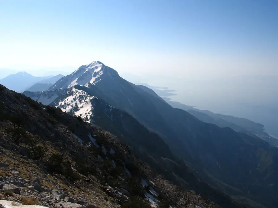
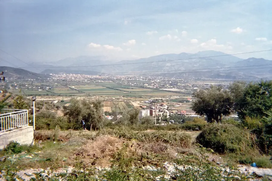
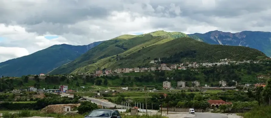
Maja e Çikës is the highest peak of the Ceraunian Mountains in southern Albania, reaching an elevation of 2,044 meters. It towers directly over the Ionian Sea and the Albanian Riviera, providing a dramatic landscape where the high mountains meet the azure waters. Geologically, the range is composed of limestone, featuring rugged terrain and several karst caves. The peak is situated within the Llogara National Park, an area famous for its flag-shaped black pines and Macedonian pines, warped by the dominant sea winds. Despite its proximity to the Mediterranean coast, the summit experiences harsh alpine conditions and remains snow-capped for several months during winter. Historically, the Ceraunian range served as a natural fortification for the coastal communities of Himara, protecting them from interior invasions. On clear days, the panoramic view from the summit extends across the Strait of Otranto to the coastline of Italy and the Greek island of Corfu, making it a premier destination for high-altitude trekking.
- Location: Albania
- Top sights: Maja Çikës · Kisha e Shën Dhimitrit
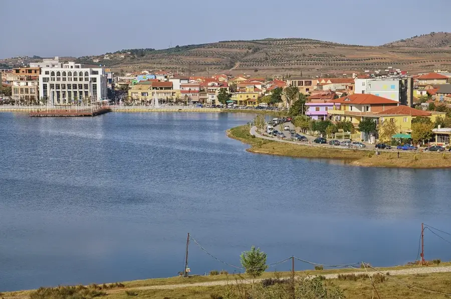
- Nearby: Llogara Pass (4 km)
Best time to visit & climate
The most pleasant time to visit is May–Jul.
| Jan | Feb | Mar | Apr | May | Jun | Jul | Aug | Sep | Oct | Nov | Dec | |
|---|---|---|---|---|---|---|---|---|---|---|---|---|
| Avg °C | 13 | 13 | 14 | 16 | 19 | 22 | 25 | 26 | 24 | 21 | 18 | 14 |
| Rain mm | 116 | 101 | 90 | 57 | 48 | 25 | 17 | 23 | 82 | 109 | 135 | 143 |
📋 Practical info
Geography
Facts
- Highest peak of the Ceraunian range
- Elevation of 2,044 meters
- Located within Llogara National Park
- Views extend to Italy across the Ionian Sea
- Features a significant snow cover in winter
- Famous for its unique wind-bent pine trees
Explore nearby
Notable places around
Route planner — Car & Motorhome
Where do you start? We build the route here, with stops and country notes along the way.
© OpenStreetMap contributors · OpenRouteService
Sights in the town Maja e Çikës (2)
Sights nearby
Frequently asked questions
What view does the summit of Maja e Çikës offer?
Where does the hike to Maja e Çikës start?
How high is this summit?
Is the hike doable in one day?
Do I need special equipment?
Maja e Çikës: where is it located?
Maja e Çikës: what is there to see?
Maja e Çikës: when is the best time to visit?
Maja e Çikës: why is it worth visiting?

Nearby cities