Plizio Visual Lab
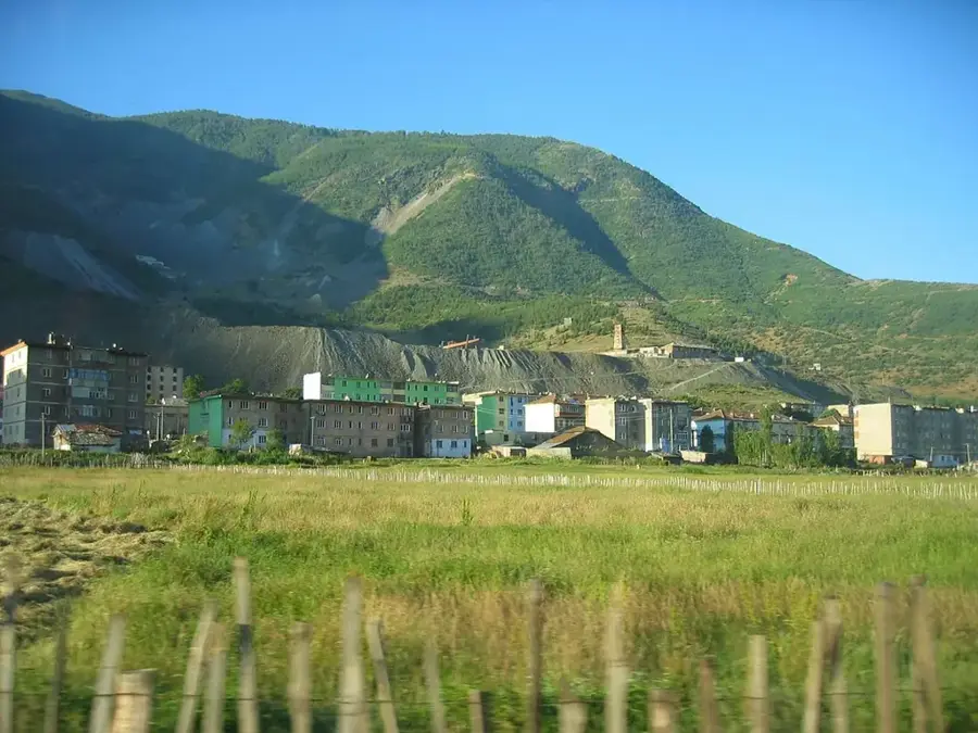
Krrabë
ℹ️Practical info — Krrabë
▾
🌤 Weather — 5 days
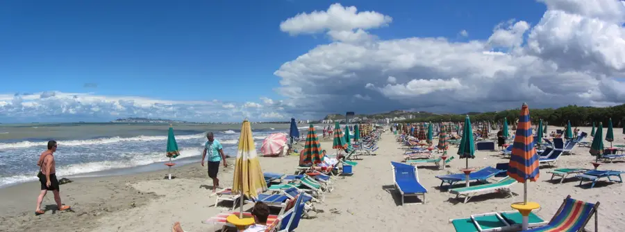
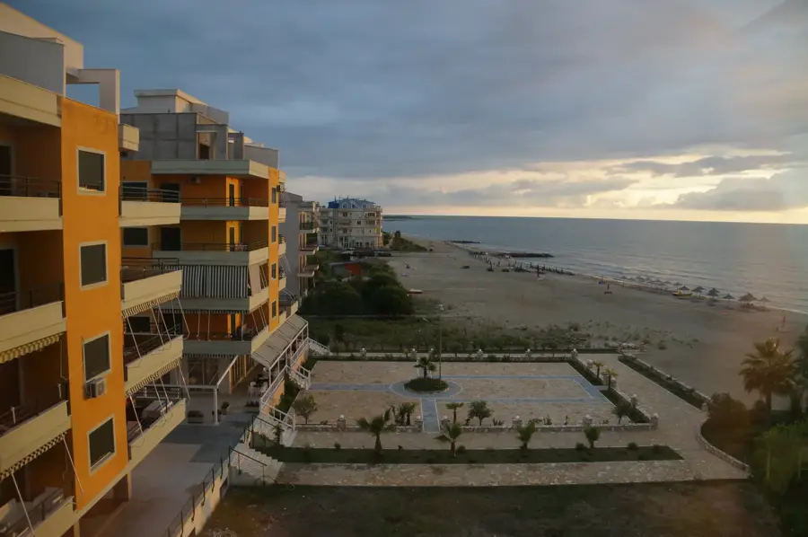
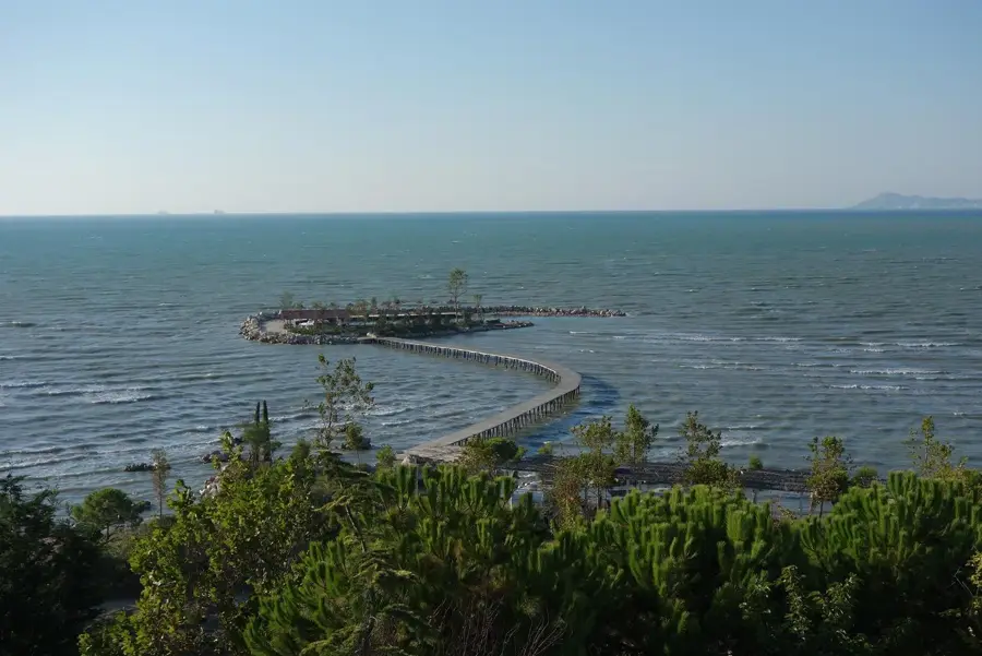
📍 Nearby
Sights nearby
💡 Tips
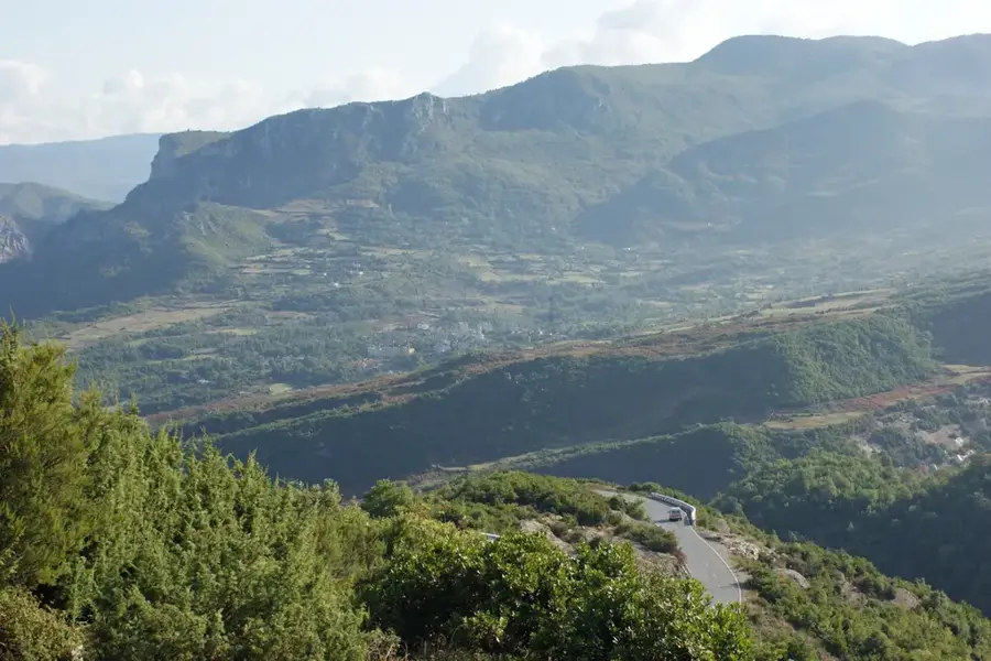
- The old road over the Krrabë Pass is winding and slower than the highway, but has spectacular, dramatic mountain scenery.
- Be cautious of dense fog on the Krrabë Pass during autumn and winter; avoid driving it at night if visibility is poor.
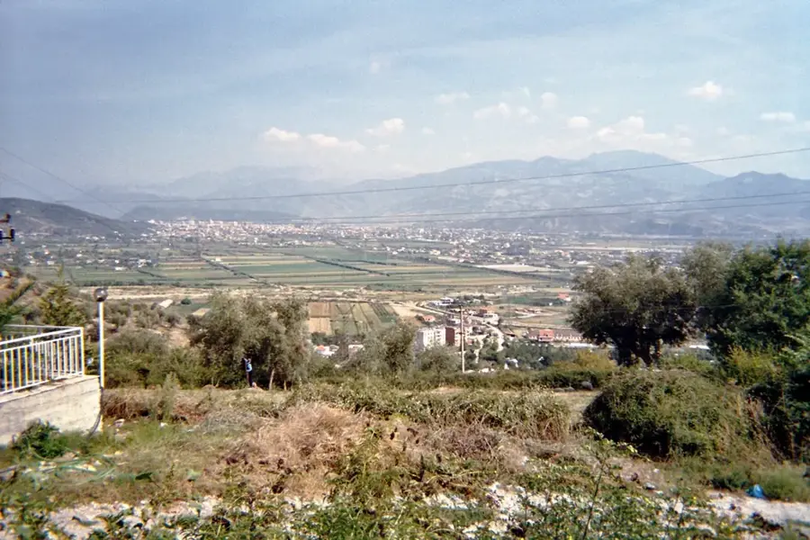
- Stop at the highest point of the pass for panoramic views that extend all the way to the Adriatic Sea on clear days.
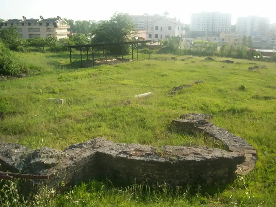
- The town itself showcases remnants of its mining history, visible in its utilitarian, communist-era architecture.
🍽 Food
Highly popular at the large, rustic restaurants located directly along the Krrabë Pass road.
Quick snack. Excellent to grab from the small bakeries in town before hitting the road.
A strong, thick brew convenient for a driving break at any pass-side cafe.
🛍 Shopping · 🧘 Quiet spots
Vendors along the pass road sell seasonal mountain fruits, walnuts, and dried mountain tea.
Keep an eye out for local beekeepers selling jars directly outside their homes.
Pull over at designated laybys on the pass to enjoy sweeping, silent mountain panoramas.
Wander the quiet hills surrounding the town to see traces of the abandoned mining infrastructure.
Water temperature…
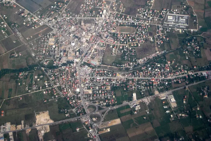
Krrabë is an administrative unit steeped in history, located to the southeast of Tirana and known for its striking mountain terrain and industrial past. The region is situated at the Krrabë Pass, a vital strategic point between Tirana and Elbasan that separates the Skanderbeg Mountains from the Elbasan plain. With a population of approximately 2,343 residents as of the 2011 census, the unit encompasses villages such as Krrabë, Mushqeta, and Skuraj. Historically, Krrabë was a major center for coal mining in Albania, with its mines forming the economic backbone of the community during the socialist era. Following the closure of the mines, the area has increasingly turned toward tourism and agriculture. Geographically, the region is characterized by deep gorges and steep slopes, which necessitated the construction of the modern Krrabë Tunnel to drastically reduce travel time between the country's two largest cities. The pristine nature provides handy conditions for mountain sports and cave exploration. Krrabë maintains a unique identity as a former industrial site that is now leveraging its natural beauty as a new asset to attract visitors and hikers.
- Location: Albania
- Nearby: Baldushk (8 km)
- Population: ~1.177
Best time to visit & climate
The most pleasant time to visit is Jun, Aug, Sep.
| Jan | Feb | Mar | Apr | May | Jun | Jul | Aug | Sep | Oct | Nov | Dec | |
|---|---|---|---|---|---|---|---|---|---|---|---|---|
| Avg °C | 4 | 5 | 9 | 13 | 17 | 22 | 26 | 26 | 21 | 15 | 10 | 6 |
| Rain mm | 84 | 74 | 68 | 62 | 60 | 41 | 28 | 26 | 71 | 85 | 100 | 102 |
Geography
Facts
- Population was 2,343 in the 2011 census
- Strategically located at the Krrabë mountain pass
- Former hub of the Albanian coal mining industry
- Features the modern Krrabë road tunnel
- Highest point on the Tirana-Elbasan connection
- Comprises the villages of Krrabë, Mushqeta, and Skuraj
Explore nearby
Notable places around
Route planner — Car & Motorhome
Where do you start? We build the route here, with stops and country notes along the way.
© OpenStreetMap contributors · OpenRouteService
Sights in the town Krrabë (1)
Frequently asked questions
What makes Krrabë interesting for tourists?
How do you get from Tirana to Krrabë?
Are there accommodation options in Krrabë?
What attractions are near Krrabë?
Can you eat well in Krrabë?
Krrabë: where is it located?
Krrabë: when is the best time to visit?
Krrabë: why is it worth visiting?

Nearby cities