Plizio Visual Lab
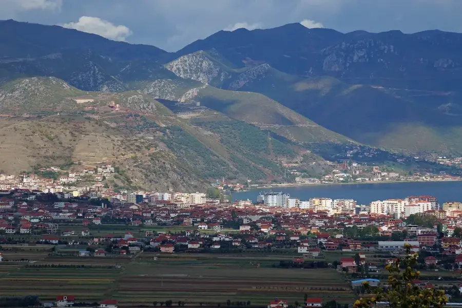
Jabllanica Mountain
Weather…
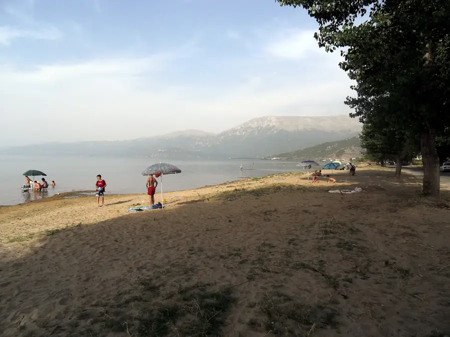
Water temperature…
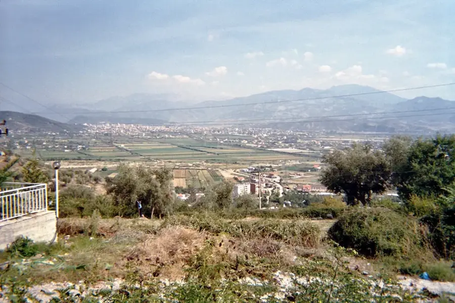
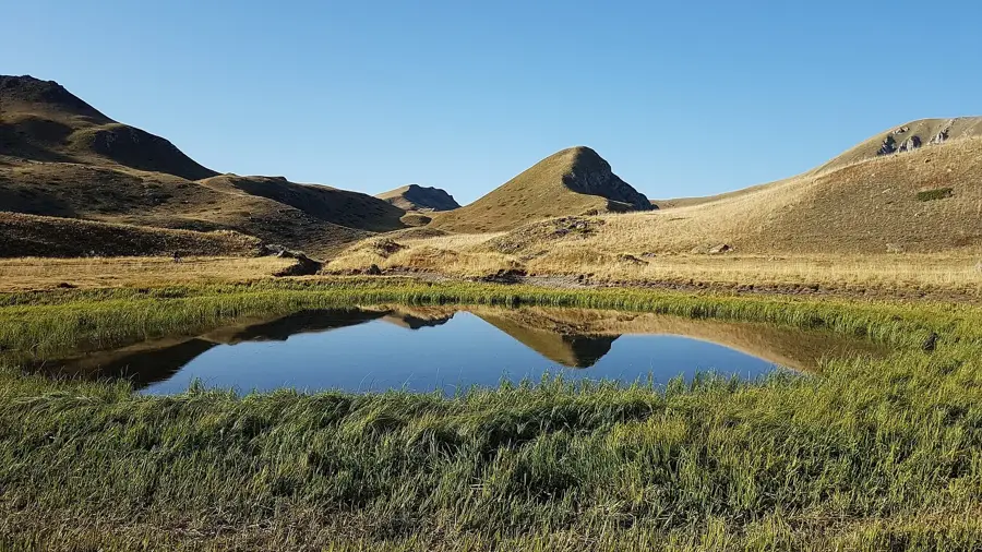
The Jabllanica Mountain range stretches along the border between Albania and North Macedonia, with several peaks exceeding 2,200 meters on the Albanian side. The highest point of the entire massif is Crn Kamen, reaching 2,257 meters, situated directly on the border line. Geographically, the mountain is part of the Shebenik-Jabllanicë National Park and is characterized by its wide alpine pastures and rugged limestone formations. The region is renowned for its rich flora, including many endemic species found only in this part of the Balkans. Historically, the mountain range has served as a natural barrier and a strategic border point between various administrative regions. Its hydrological importance is significant, as numerous springs feed the Ohrid Lake basin and the Drin River system. The landscape was carved by Pleistocene glaciers, leading to the formation of cirques and small mountain tarns. Today, Jabllanica is a key destination for cross-border tourism and the conservation of biodiversity in Southeast Europe. Traditional sheep herding on the high pastures continues to be practiced by local communities to this day.
- Location: Albania
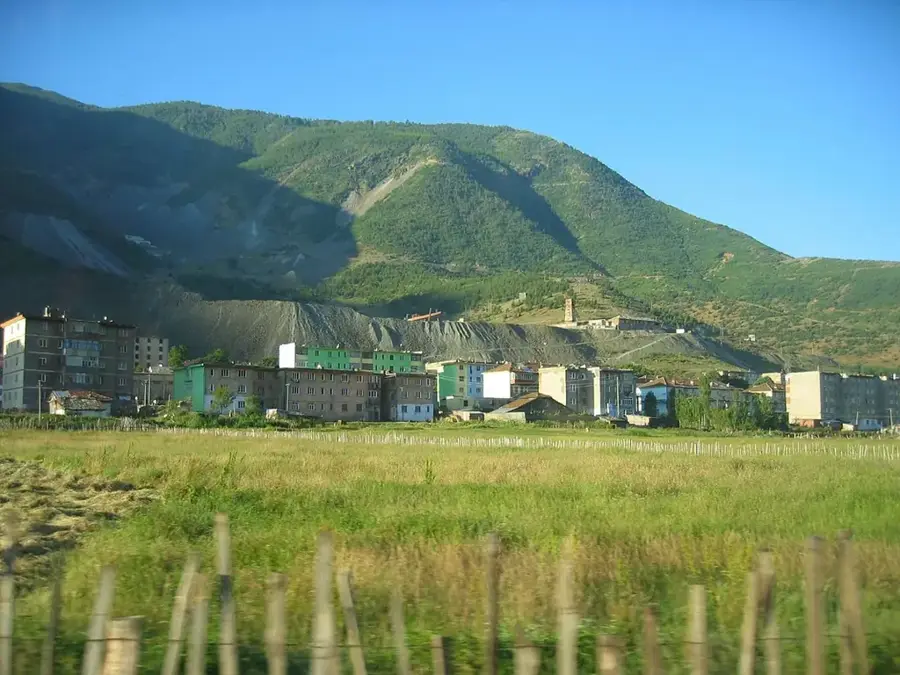
- Nearby: Librazhd (19 km)
Best time to visit & climate
The most pleasant time to visit is Jun–Aug.
| Jan | Feb | Mar | Apr | May | Jun | Jul | Aug | Sep | Oct | Nov | Dec | |
|---|---|---|---|---|---|---|---|---|---|---|---|---|
| Avg °C | -2 | -1 | 3 | 7 | 12 | 16 | 20 | 20 | 15 | 10 | 5 | 0 |
| Rain mm | 74 | 66 | 65 | 63 | 65 | 47 | 33 | 32 | 68 | 82 | 89 | 85 |
📋 Practical info
Geography
Facts
- The highest peak of the range, Crn Kamen, stands at 2,257 meters.
- The mountain serves as a natural international border with North Macedonia.
- It is included within the Shebenik-Jabllanicë National Park area.
- The slopes are known for a high concentration of endemic Balkan flora.
- Many springs from the mountain contribute to the flow of the Black Drin.
- The landscape features extensive alpine meadows and limestone cliffs.
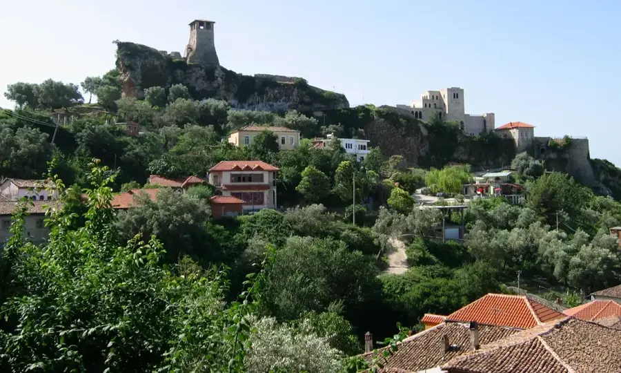
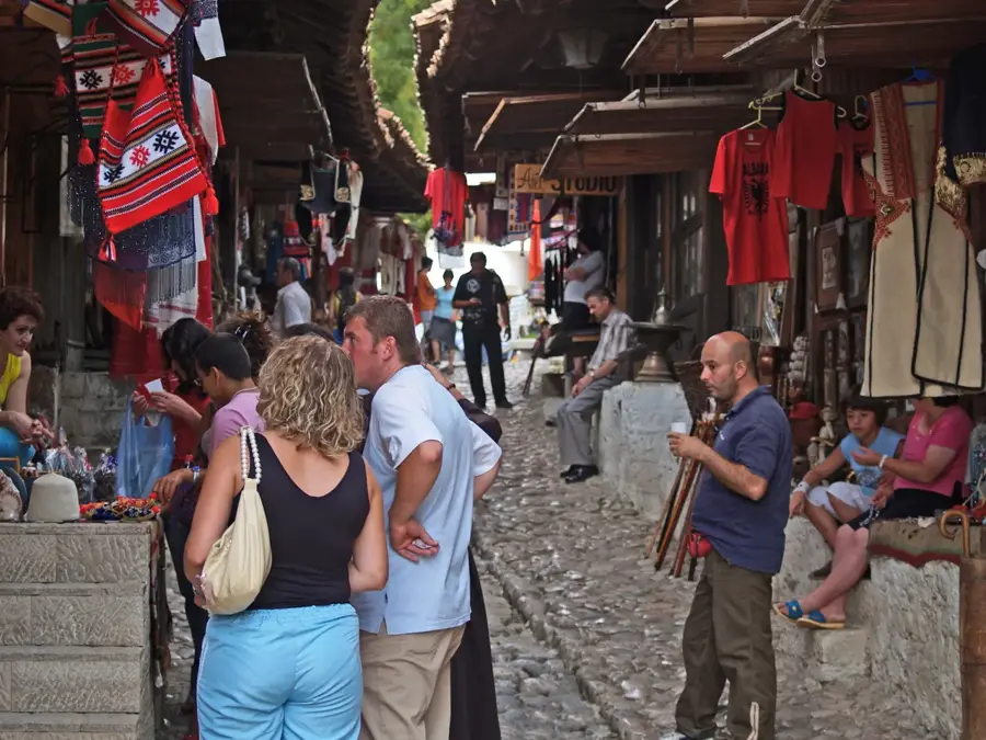
Explore nearby
Notable places around
Route planner — Car & Motorhome
Where do you start? We build the route here, with stops and country notes along the way.
© OpenStreetMap contributors · OpenRouteService
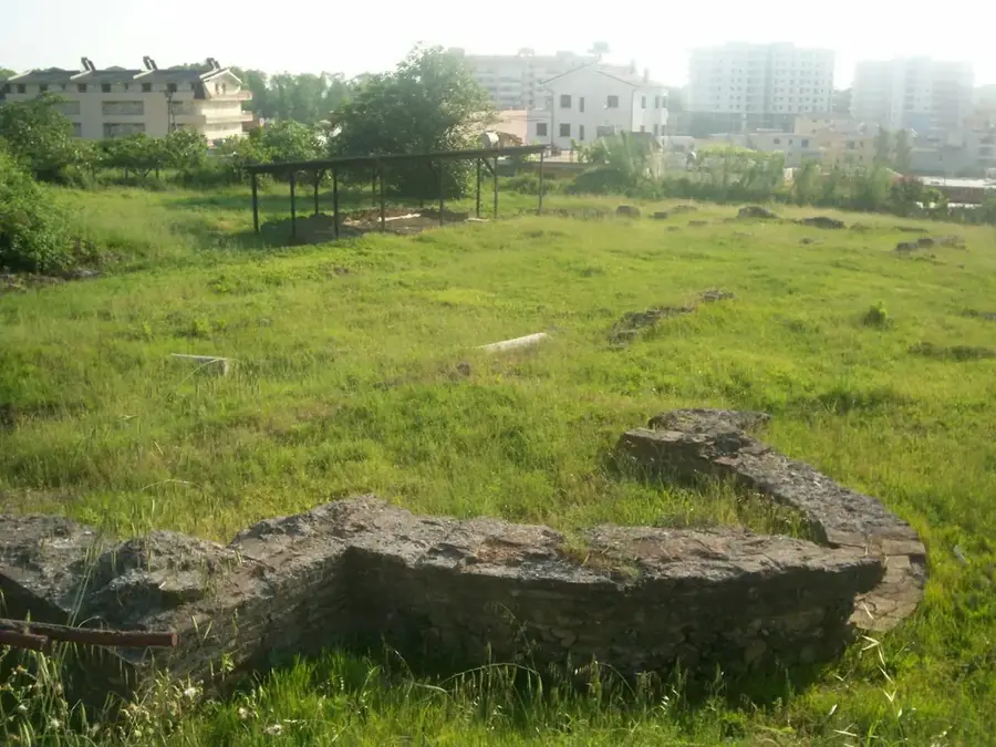
Sights in the town Jabllanica Mountain (1)
Sights nearby
Frequently asked questions
Where is Jabllanica located?
What is the name of the highest peak?
Can you ski there in winter?
Are documents required for border crossings?
What is the best season for visits?
Jabllanica Mountain: where is it located?
Jabllanica Mountain: when is the best time to visit?
Jabllanica Mountain: why is it worth visiting?

Nearby cities