Plizio Visual Lab
Beitbridge

ℹ️Practical info — Beitbridge
▾
🌤 Weather — 5 days
📍 Nearby
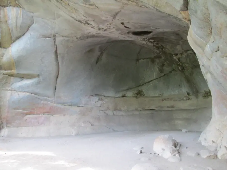
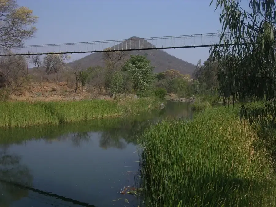
Sights nearby
💡 Tips
- Border crossing times can be extremely long, so try to start your journey very early in the morning.
- Keep small US dollar denominations handy for quick purchases or tolls.
- Drink plenty of water, as the area can get extremely hot during the day.
- Always use official channels and avoid unofficial border 'fixers'.
🍽 Food
Try it at local roadside barbecue spots near the commercial center.
Available in local eateries, often served with a tomato-based sauce.
Pick up this dried cured meat snack at convenience stores before crossing the border.
🛍 Shopping · 🧘 Quiet spots
Find basic supplies, snacks, and some local curios near the crossing.
Pick up tax-free goods right at the border crossing area.
Find a quiet spot away from the bustling border to see the historic river.
A drive outside the city, offering a peaceful environment and fishing spots.
Water temperature…
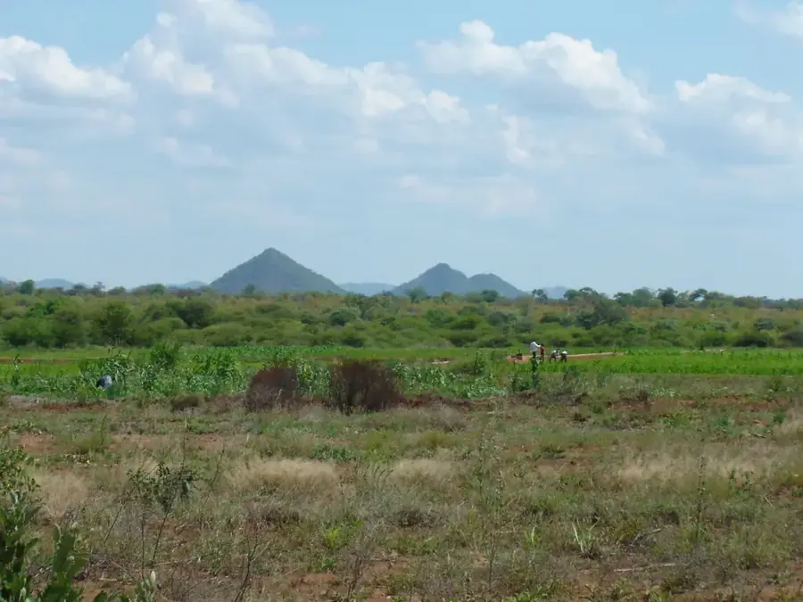
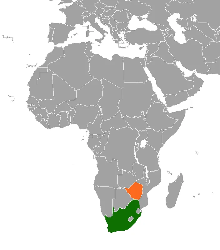
Beitbridge is a bustling border town in southern Zimbabwe, situated on the northern bank of the Limpopo River. It stands as the busiest inland border crossing in Sub-Saharan Africa, serving as the vital artery connecting Zimbabwe to its southern neighbor, South Africa. The town's significance centers on the Alfred Beit Bridge, which spans the Limpopo and carries the primary road and rail traffic for the region. As a key link on the Cape-to-Cairo route, Beitbridge handles a massive volume of commercial transit, with thousands of heavy vehicles passing through daily to supply markets as far north as the Democratic Republic of Congo. The local environment is characterized by a harsh, semi-arid climate where summer temperatures frequently soar above 40°C. Despite the challenging heat, the town is a hive of activity, featuring modern customs terminals and logistics hubs that have recently undergone extensive upgrades to facilitate regional trade. For many travelers, Beitbridge is the first introduction to Zimbabwe, a place where the strategic importance of regional integration is palpable in the constant flow of goods and people across the historic Limpopo frontier.
- Location: Zimbabwe
- Top sights: Alfred Beit Road Bridge · Beitbridge, South Africa
- Population: ~58.574 (2024)
Best time to visit & climate
The most pleasant time to visit is May, Aug, Sep.
| Jan | Feb | Mar | Apr | May | Jun | Jul | Aug | Sep | Oct | Nov | Dec | |
|---|---|---|---|---|---|---|---|---|---|---|---|---|
| Avg °C | 27 | 27 | 26 | 24 | 21 | 18 | 18 | 20 | 23 | 26 | 27 | 28 |
| Rain mm | 83 | 68 | 51 | 24 | 7 | 5 | 13 | 2 | 10 | 26 | 58 | 90 |
Geography
Facts
- Population: 50,000
- Elevation: 450 m
- Bridge built: 1929
- Border crossings: 1 million people/year
- Annual trade: 10 billion USD
- Average temperature: 30°C
Explore nearby
Notable places around
Route planner — Car & Motorhome
Where do you start? We build the route here, with stops and country notes along the way.
© OpenStreetMap contributors · OpenRouteService
Sights in the town Beitbridge (2)
Frequently asked questions
What is the main function of Beitbridge?
Should one expect waiting times?
Are there sights in Beitbridge?
Is the surrounding area safe?
Are there accommodations there?
Beitbridge: where is it located?
Beitbridge: what is there to see?
Beitbridge: when is the best time to visit?
Beitbridge: why is it worth visiting?

Nearby cities
History & landmarks
More places