Plizio Visual Lab
Gwanda
ℹ️Practical info — Gwanda
▾
🌤 Weather — 5 days
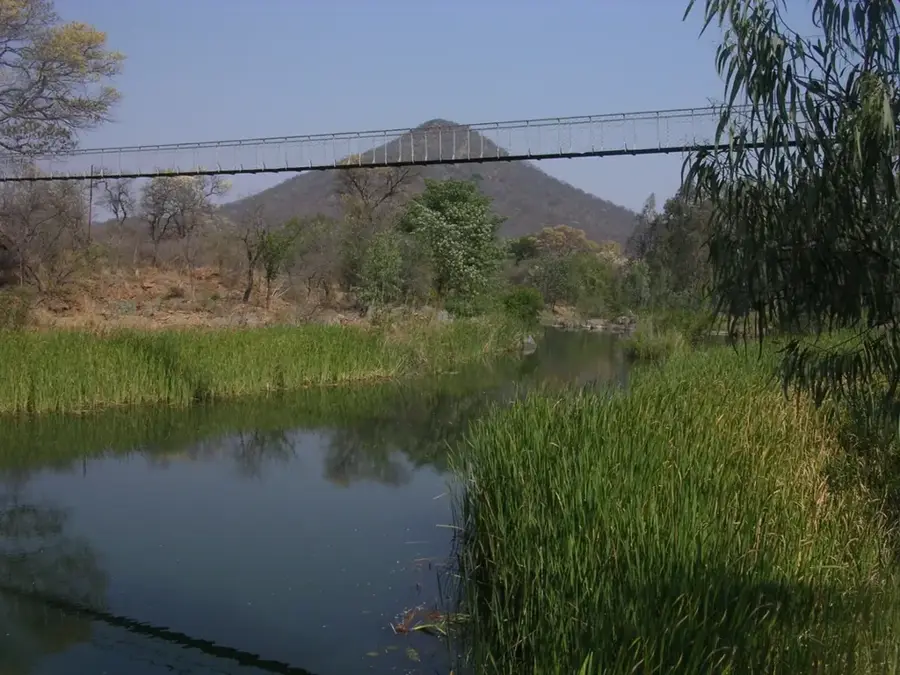
📍 Nearby
Sights nearby
💡 Tips
- Gwanda is a key transit town; refuel and restock supplies here before venturing deeper into Matabeleland South.
- As it's a bustling mining and ranching hub, keep an eye on your belongings in busy central areas.
- The town gets very hot in summer, so carry water at all times.
- USD is widely accepted, but carry small notes for roadside purchases.
🍽 Food
The region is famous for cattle ranching, making local butchers and braai (barbecue) spots the best place for fresh beef.
The classic Zimbabwean staple, widely available at modest diners in the town center.
A local protein-rich delicacy, often sold dried or cooked with tomatoes and onions in local markets.
🛍 Shopping · 🧘 Quiet spots
Good for basic groceries, camping supplies, and hardware before heading into the bush.
Pick up fresh seasonal fruits and vegetables as you drive into or out of town.
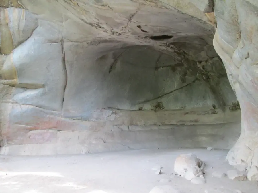
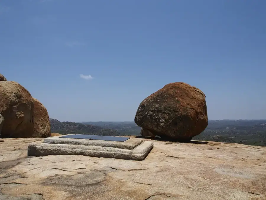
The granite hills just outside town offer quiet spots and great sunset views of the bush.
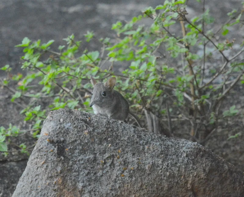
The open savannah and ranchlands around the town are peaceful for birdwatching and photography.
Water temperature…
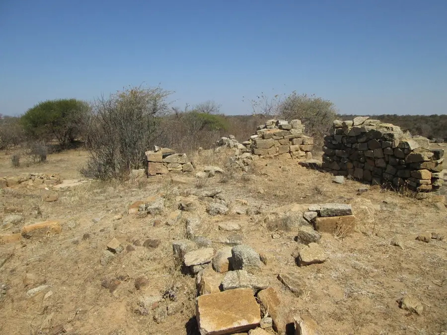
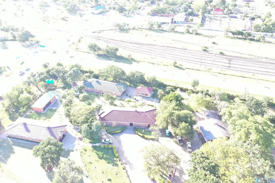
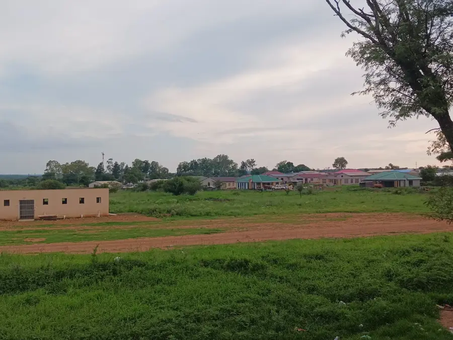
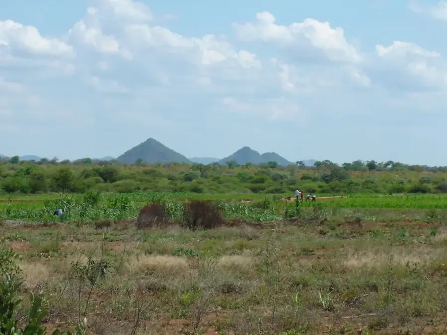
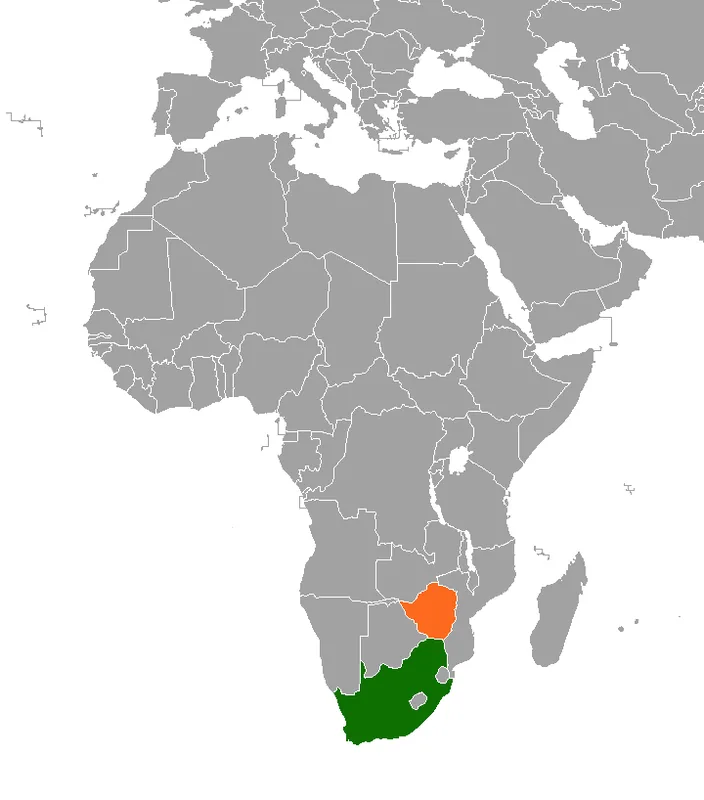
Gwanda serves as the administrative capital of Zimbabwe's Matabeleland South province and is a crucial economic anchor for the country's southern region. Established in the late 19th century following the discovery of gold, the town's identity remains deeply tied to the mining sector, with several large and small-scale gold mines still operating in the surrounding hills. Strategically positioned on the major highway and railway line connecting Bulawayo to the South African border at Beitbridge, Gwanda is a vital transit point for regional trade and travelers. The town is equally famous for its cattle industry; the semi-arid climate of the region is handy for ranching, and Gwanda's frequent cattle auctions are among the most significant in Zimbabwe. Despite the challenges of its dry environment, the town has grown into a bustling provincial hub with a dedicated service sector and educational facilities, reflecting the resilience and commercial spirit of the people of Matabeleland South.
- Location: Zimbabwe
- Top sights: Phelandaba Stadium · Joshua Mqabuko Nkomo Polytechnic
- Nearby: Filabusi (50 km)
- Population: ~26.700 (2026)
Best time to visit & climate
The most pleasant time to visit is Apr, Aug, Sep.
| Jan | Feb | Mar | Apr | May | Jun | Jul | Aug | Sep | Oct | Nov | Dec | |
|---|---|---|---|---|---|---|---|---|---|---|---|---|
| Avg °C | 26 | 25 | 24 | 22 | 19 | 16 | 16 | 19 | 23 | 25 | 26 | 26 |
| Rain mm | 96 | 96 | 65 | 26 | 6 | 4 | 2 | 1 | 7 | 24 | 70 | 109 |
Geography
Facts
- Gwanda has a population of about 20,000 (2012).
- The town is at an elevation of 960 m.
- Annual rainfall is 500 mm.
- Gwanda River is 100 km long.
- Gold production in the region is 800 kg annually.
- Gwanda hospital has 100 beds.
Explore nearby
Notable places around
Route planner — Car & Motorhome
Where do you start? We build the route here, with stops and country notes along the way.
© OpenStreetMap contributors · OpenRouteService
Sights in the town Gwanda (2)
Frequently asked questions
What is the role of Gwanda?
How is the weather in Gwanda?
Are there sights there?
How to reach the town?
Is a stopover safe?
Gwanda: where is it located?
Gwanda: what is there to see?
Gwanda: when is the best time to visit?
Gwanda: why is it worth visiting?

Nearby cities

History & landmarks
More places