Plizio Visual Lab
Zambezi Gorge
Weather…
Water temperature…
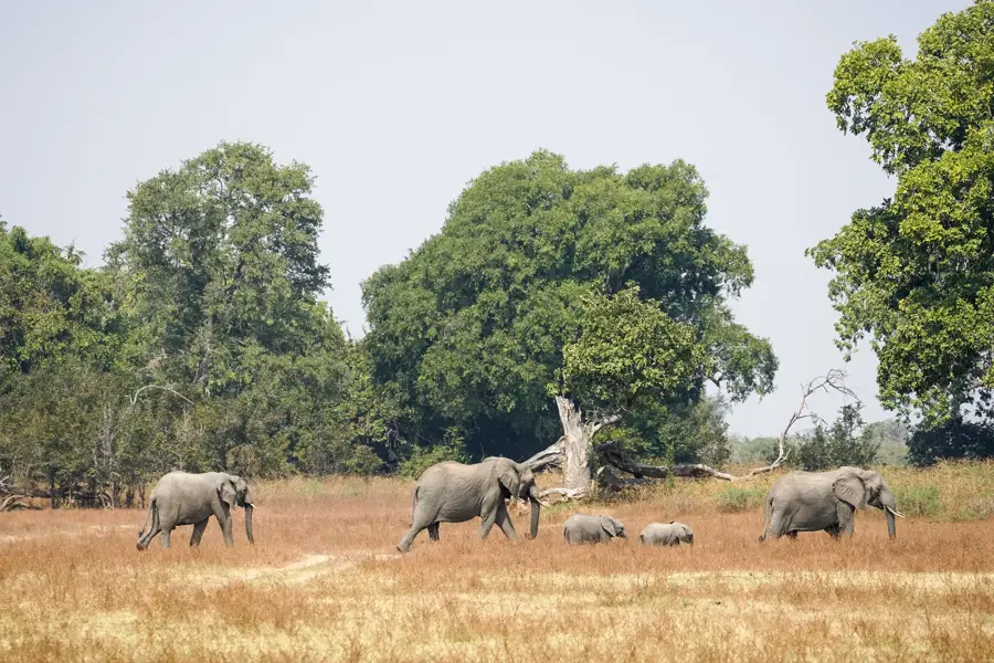
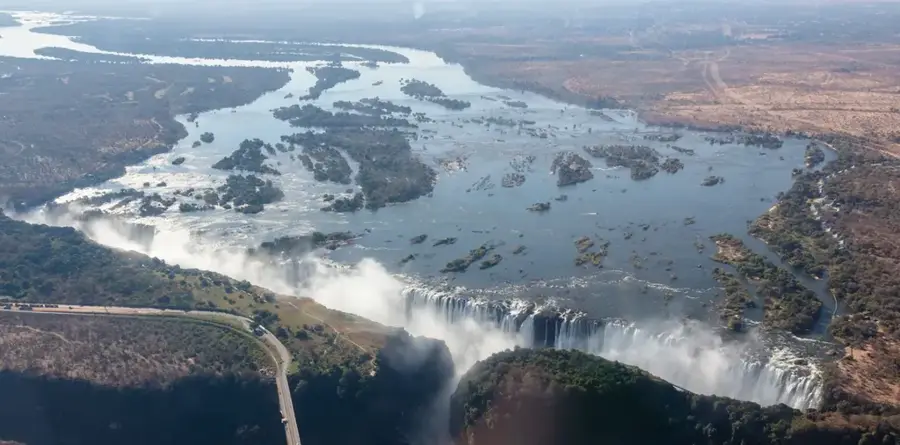
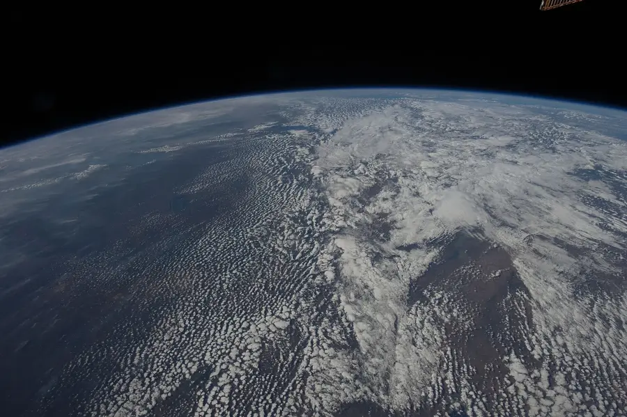
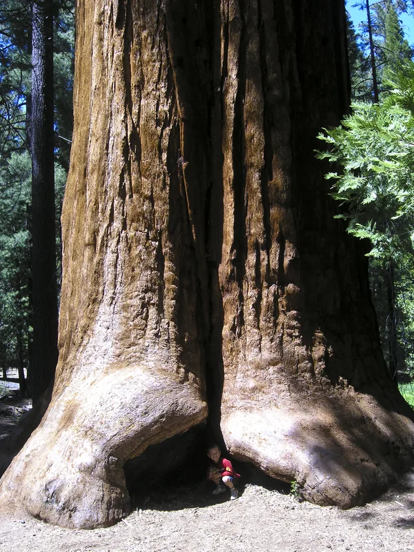
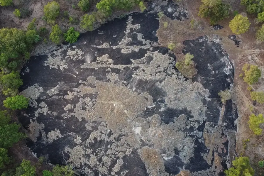
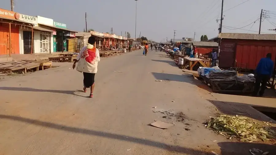
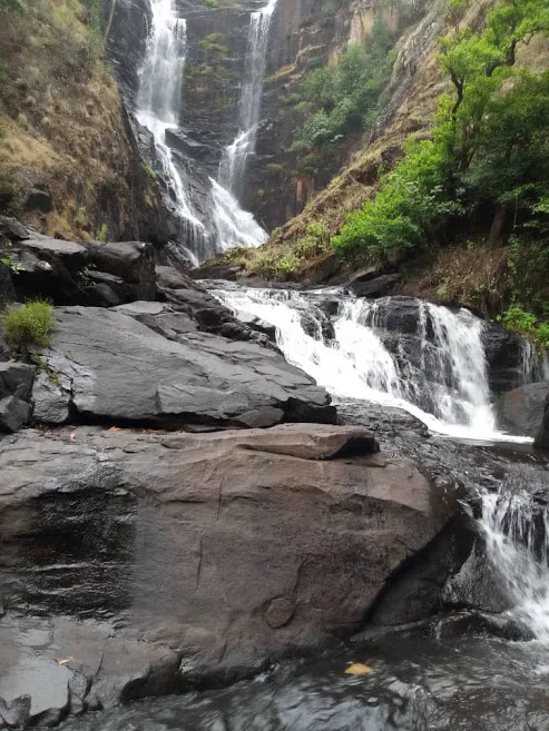
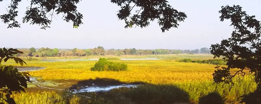
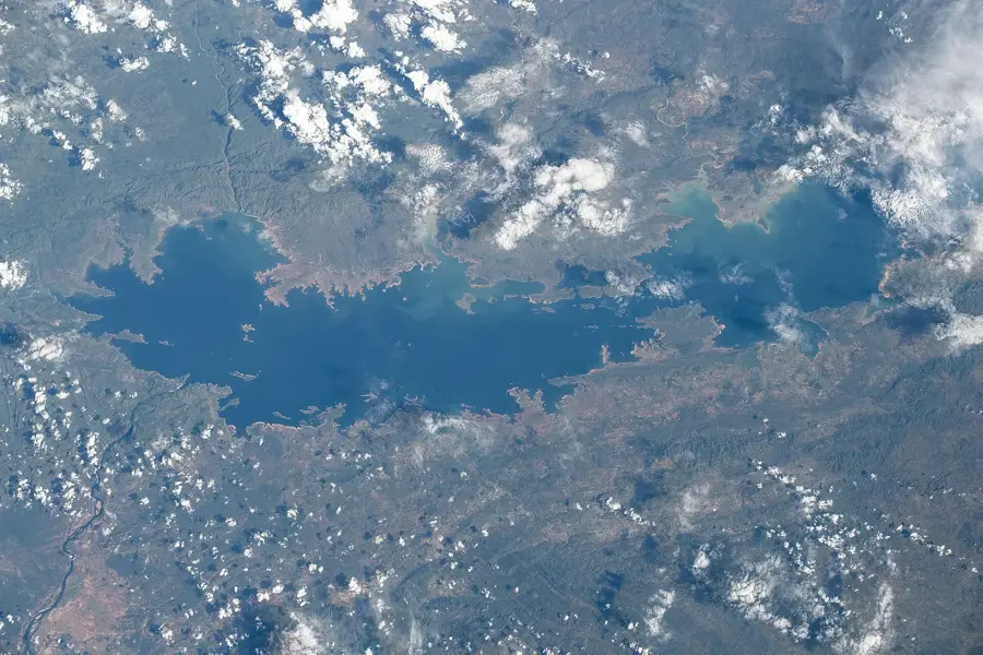
The Zambezi Gorge, also known as the Batoka Gorge, stretches immediately below the Victoria Falls on the border between Zambia and Zimbabwe. Geologically, it is a deep incision in the basalt plateau, formed by the erosive power of the Zambezi River over millions of years. The gorge reaches depths of up to 120 meters and is characterized by steep, almost vertical walls of dark volcanic rock. In this section, the river forms a series of technically challenging rapids, internationally acclaimed as one of the premier locations for whitewater rafting. Historically, the gorge played a significant role in the exploration of the region by David Livingstone during the 1850s. Today, the gorge is not only a major tourist destination but also the site of planned hydroelectric projects, such as the Batoka Gorge Hydroelectric Scheme, intended to bolster the power supply of both neighboring nations. The ecological significance of the gorge is also high, as it provides a critical habitat for rare birds of prey, including the Taita falcon.
- Location: Zambia
- Top sights: Zambezi Nature Sanctuary · A'Zambezi Lodge · Old Drift Cemetery
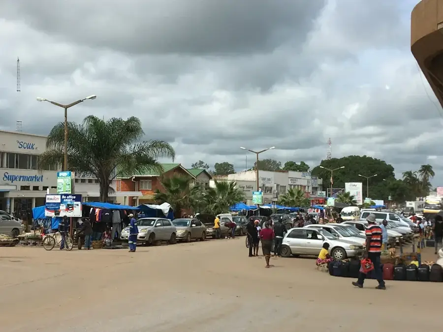
- Nearby: Livingstone (8 km)
Best time to visit & climate
The most pleasant time to visit is May, Jun, Aug.
| Jan | Feb | Mar | Apr | May | Jun | Jul | Aug | Sep | Oct | Nov | Dec | |
|---|---|---|---|---|---|---|---|---|---|---|---|---|
| Avg °C | 26 | 25 | 25 | 23 | 21 | 19 | 18 | 21 | 25 | 29 | 28 | 26 |
| Rain mm | 131 | 125 | 92 | 33 | 3 | 2 | 0 | 0 | 2 | 12 | 64 | 137 |
📋 Practical info
Geography
Facts
- The gorge begins immediately at the base of the Victoria Falls.
- The walls reach a maximum height of approximately 120 meters.
- The river section features 13 major whitewater rapids.
- The gorge was carved by erosion into the Batoka basalt plateau.
- It is the site for the proposed Batoka Gorge Hydroelectric Scheme.
- The area is a key nesting site for the rare Taita falcon.
Explore nearby
Notable places around
Route planner — Car & Motorhome
Where do you start? We build the route here, with stops and country notes along the way.
© OpenStreetMap contributors · OpenRouteService
Sights in the town Zambezi Gorge (3)
Sights nearby
Frequently asked questions
Is Zambezi Gorge safe for tourists?
Do you need a ticket for the gorge?
When is the best light for photography?
How long does it take on foot?
Is there protection from the sun?
Zambezi Gorge: where is it located?
Zambezi Gorge: what is there to see?
Zambezi Gorge: when is the best time to visit?
Zambezi Gorge: why is it worth visiting?

Nearby cities
History & landmarks
Nature
More places