Plizio Visual Lab
Kazungula Bridge
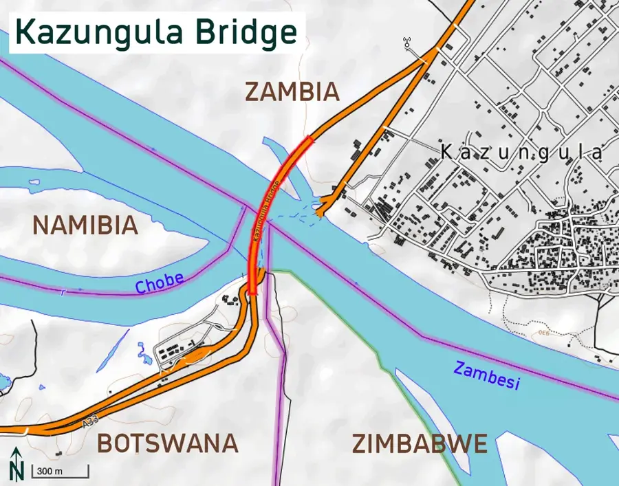
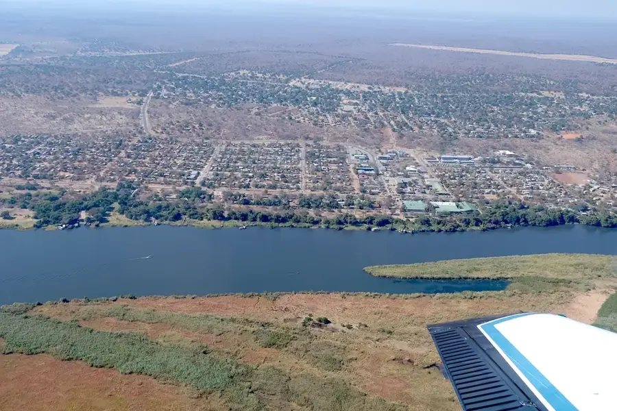
The Kazungula Bridge is an architectural masterpiece and a strategic transport link spanning the Zambezi River, directly connecting Botswana and Zambia. Formally opened in May 2021, the bridge replaced decades of ferry services that often led to substantial delays in regional trade. Measuring 923 meters in length, the bridge features a distinctive curved design, necessitated by the unique geography to avoid encroaching on the borders of Namibia and Zimbabwe near the world's only quadripoint. The structure accommodates road traffic, a railway line, and pedestrian walkways. The project was significantly funded by the African Development Bank and Japan, highlighting the global importance of this trade route. The bridge has revolutionized freight transport along Africa's North-South Corridor, drastically reducing border waiting times. Beyond its economic impact, the bridge has become a tourist attraction, offering spectacular views of the Zambezi River and the intersection of four nations. It stands as a symbol of regional integration and modern infrastructure development in Southern Africa. One-stop border posts at either end ensure efficient customs processing for travelers and cargo alike.
- Location: Botswana
- Top sights: Hide (Bunker) · Kazungula Bridge
Best time to visit & climate
The most pleasant time to visit is Apr, May, Aug.
| Jan | Feb | Mar | Apr | May | Jun | Jul | Aug | Sep | Oct | Nov | Dec | |
|---|---|---|---|---|---|---|---|---|---|---|---|---|
| Avg °C | 25 | 24 | 24 | 23 | 20 | 18 | 17 | 20 | 25 | 28 | 28 | 26 |
| Rain mm | 139 | 126 | 92 | 33 | 3 | 6 | 0 | 0 | 2 | 12 | 63 | 136 |
📋 Practical info
Geography
Facts
- 923-meter long cable-stayed bridge over the Zambezi
- Opened officially on May 10, 2021
- Directly links Botswana and Zambia
- Curved design specifically avoids Zimbabwe and Namibia
- Features a railway line and a motor roadway
- Replaced the unreliable Kazungula ferry service
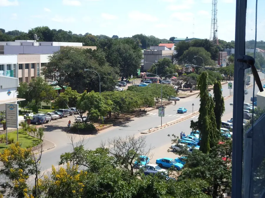
Explore nearby
Notable places around
Route planner — Car & Motorhome
Where do you start? We build the route here, with stops and country notes along the way.
© OpenStreetMap contributors · OpenRouteService
Sights in the town Kazungula Bridge (2)
Sights nearby
Frequently asked questions
Which countries does the Kazungula Bridge connect?
Is there a toll for the bridge?
Can pedestrians walk across the bridge?
Why is the bridge built in a curve?
When was the Kazungula Bridge opened?
Kazungula Bridge: where is it located?
Kazungula Bridge: what is there to see?
Kazungula Bridge: when is the best time to visit?
Kazungula Bridge: why is it worth visiting?

Nearby cities
History & landmarks
More places