Plizio Visual Lab
Yarim

ℹ️Practical info — Yarim
▾
🌤 Weather — 5 days
📍 Nearby
Sights nearby
💡 Tips
- Visit the old town in the early morning to see the morning light highlight the intricate stone carvings on the traditional houses.
- Since the city is located on a high plateau, pack layers as temperatures can drop significantly in the evening.
- Attend the weekly market day to experience the authentic rural life of people coming from surrounding mountain villages.
- Ask locals for the best viewpoints overlooking the fertile terraced fields that define the landscape.
- Wear sturdy walking shoes as the old town's alleys are often steep and unevenly paved.
🍽 Food
A traditional honey cake; look for it fresh out of the oven at local bakeries near the market area.
Yarim is famous for its honey; buy small jars directly from beekeepers at the main market square.
A hearty grain porridge often served with meat broth; try it in the traditional eateries of the old town.
🛍 Shopping · 🧘 Quiet spots
Find hand-woven textiles and fresh agricultural products from the fertile highland plateau.
Look in the side alleys of the old town for small stone-carved items that make unique souvenirs.
A walk through the green agriculture zones features peace and wide views over the plateau.
Some traditional houses hide cool and silent gardens behind their walls; ask locals for a peek if invited.
Water temperature…
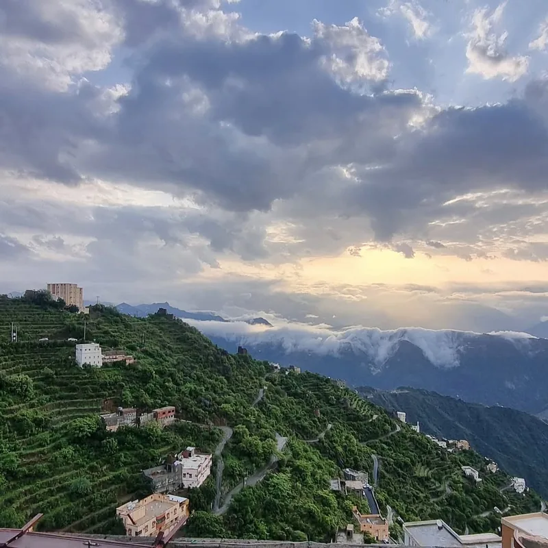
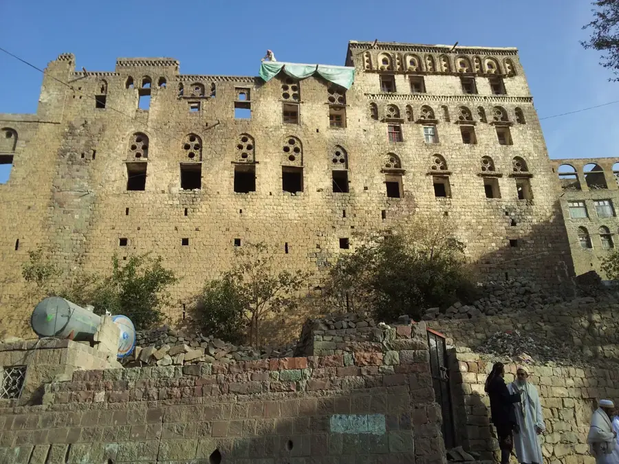
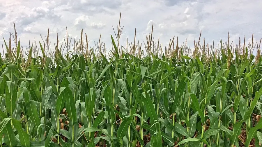
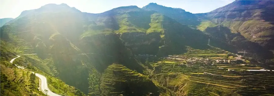
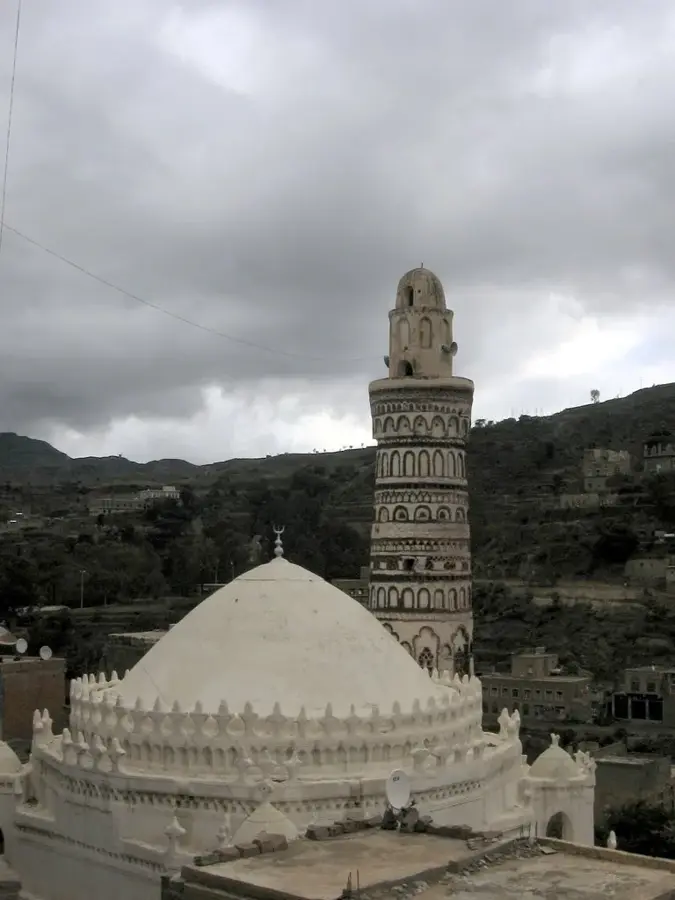
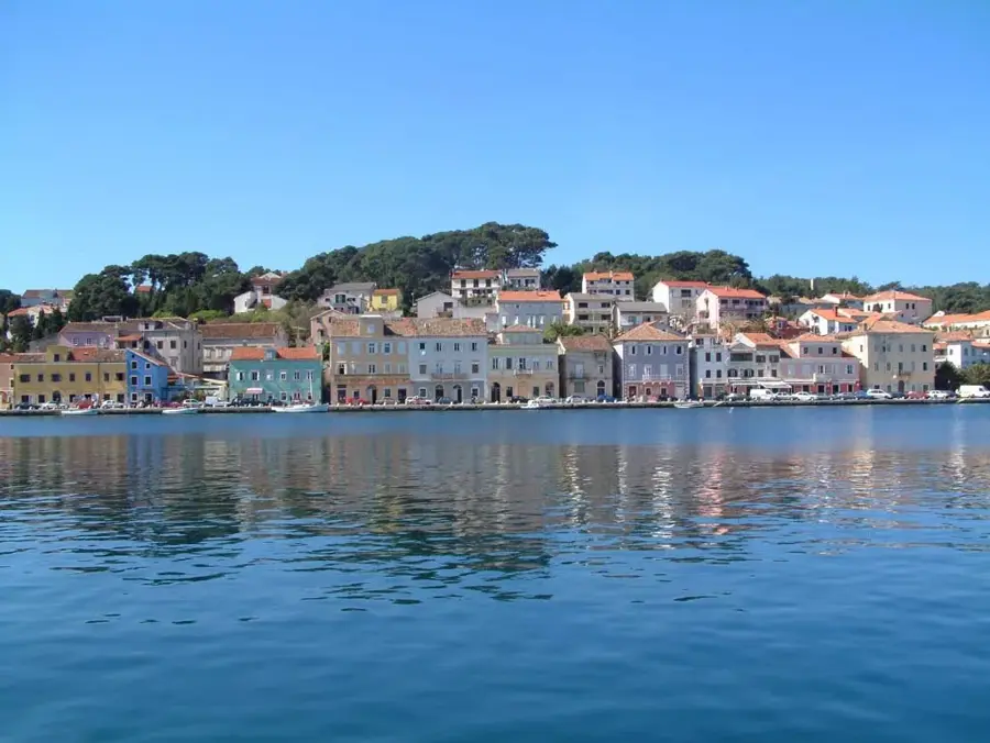
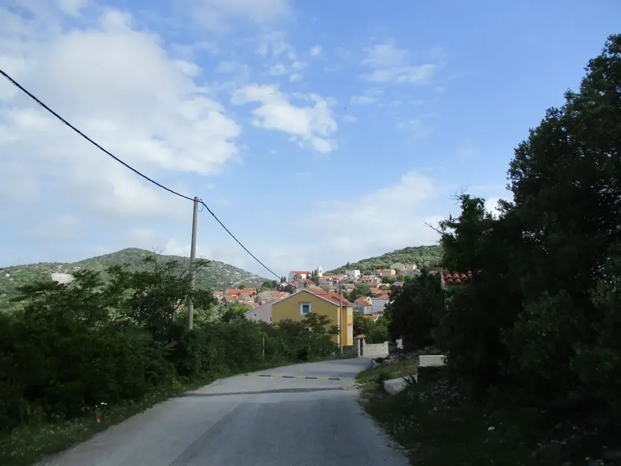
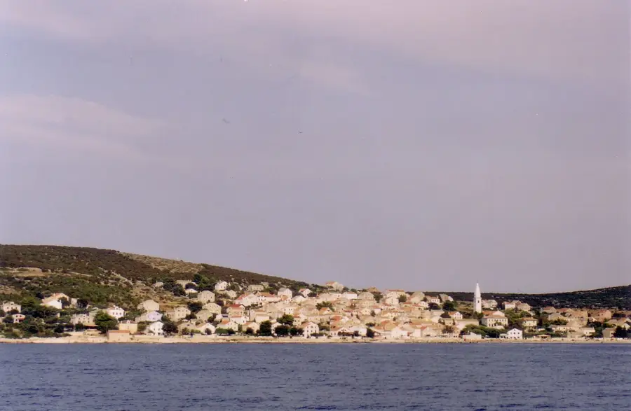
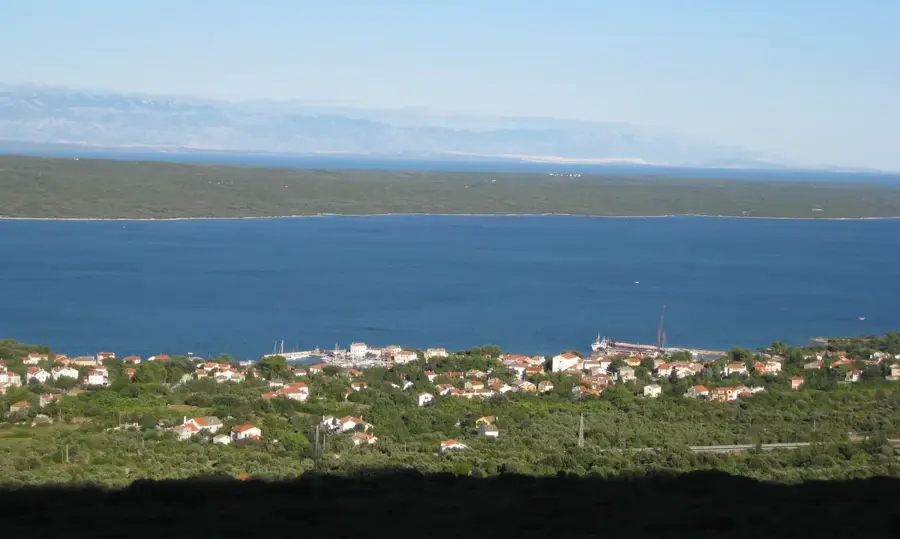
Yarim lies in Ibb governorate on a fertile plateau at roughly 2,600 metres, making it one of the highest towns in Yemen. For centuries it was an important resting place for caravans travelling between the Red Sea port of Mocha and the northern capital Sanaa. In the Middle Ages Yarim belonged to the Rasulid kingdom and hosted several madrasas teaching the Islamic sciences. Notable features include old multi-storey stone houses that combine the typical highland style of stone ground floors with mud-brick upper floors, and the nearby archaeological site of Zafar, once capital of the Himyarite kingdom and one of the most important pre-Islamic places in southern Arabia. On the high terraces around Yarim, wheat, barley, potatoes and beans thrive; the cool climate even allows stone fruit and grapes. The town's economic importance comes from its position on the modern paved road between Aden and Sanaa, where transport and trade meet.
- Location: Yemen
- Nearby: Sumara Pass (14 km)
- Population: ~33.050 (2020)
Best time to visit & climate
The most pleasant time to visit is May, Aug, Sep.
| Jan | Feb | Mar | Apr | May | Jun | Jul | Aug | Sep | Oct | Nov | Dec | |
|---|---|---|---|---|---|---|---|---|---|---|---|---|
| Avg °C | 15 | 17 | 18 | 20 | 21 | 22 | 22 | 21 | 21 | 17 | 15 | 14 |
| Rain mm | 2 | 2 | 3 | 9 | 10 | 5 | 14 | 19 | 9 | 5 | 3 | 5 |
Geography
Facts
- Yarim is situated at an elevation of about 2,550 meters above sea level.
- The nearby site of Zafar was the capital of the Himyarite Kingdom.
- The Himyarite Kingdom ruled the region from 110 BCE to 525 CE.
- Yarim is located on the main road connecting Sana'a and Taiz.
- The area is famous for its production of highland grains and legumes.
- Yarim is part of the Ibb Governorate, Yemen's most fertile province.
Explore nearby
Notable places around
Route planner — Car & Motorhome
Where do you start? We build the route here, with stops and country notes along the way.
© OpenStreetMap contributors · OpenRouteService
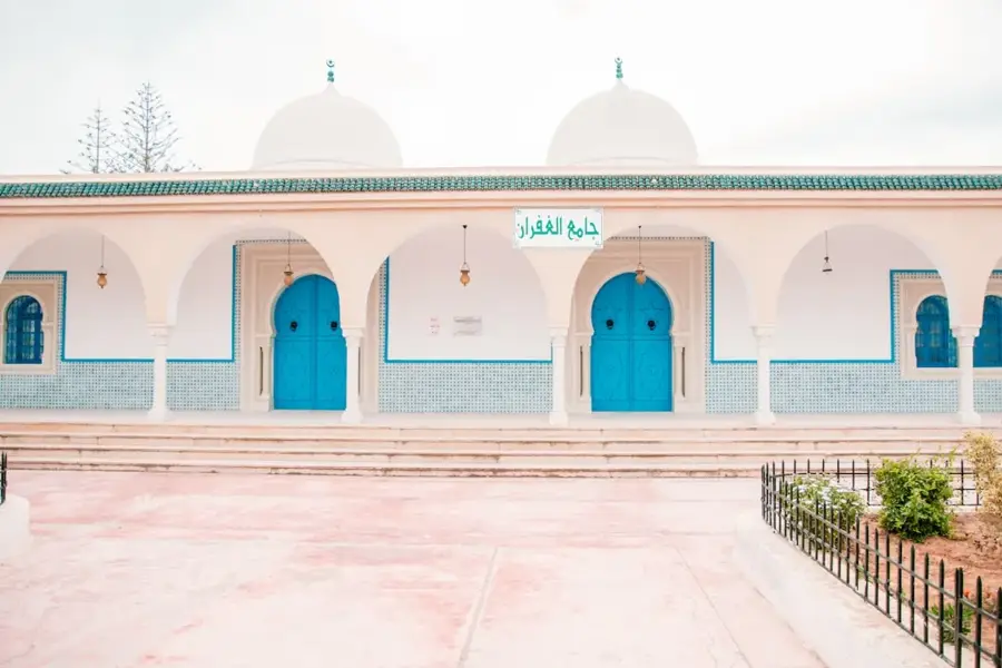
Sights in the town Yarim (1)
Frequently asked questions
How much time to plan for Yarim?
When is the best time for Yarim?
How to get to Yarim?
What is the regional specialty?
Are there local markets?
Yarim: where is it located?
Yarim: when is the best time to visit?
Yarim: why is it worth visiting?

Nearby cities


History & landmarks

Nature
More places