Plizio Visual Lab
Sumara Pass

ℹ️Practical info — Sumara Pass
▾
🌤 Weather — 5 days
📍 Nearby
Sights nearby
Water temperature…
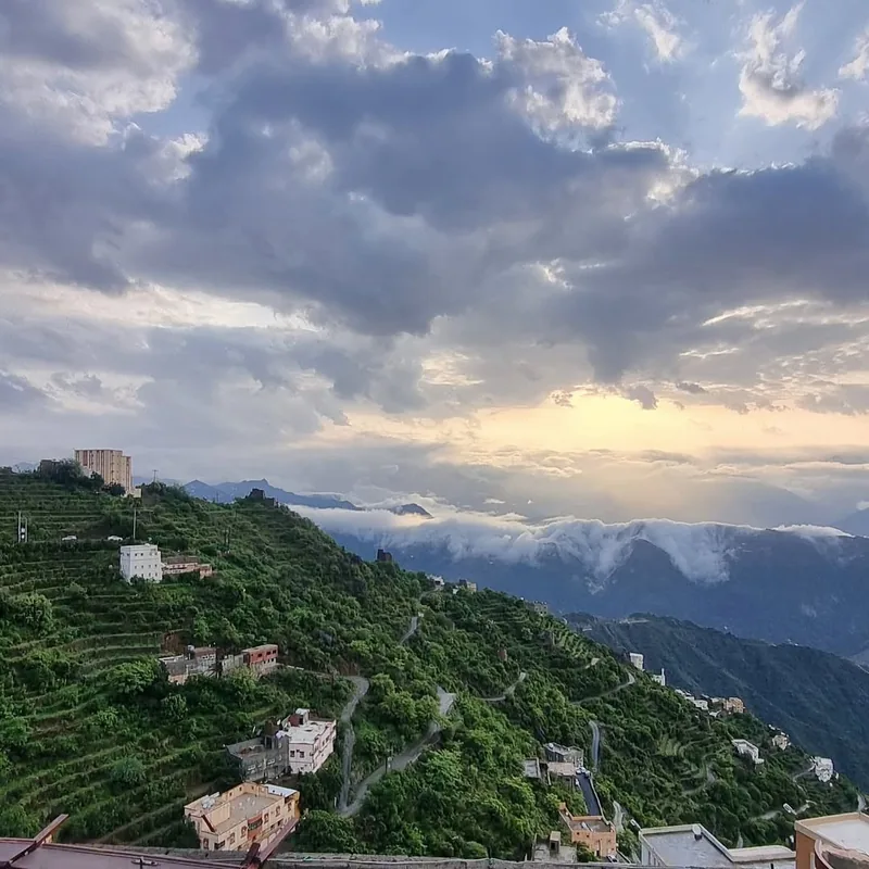
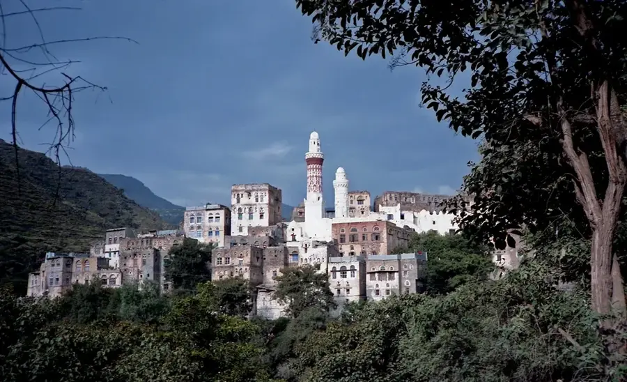
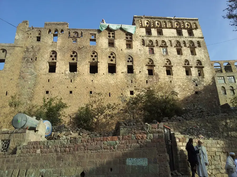
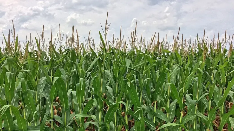
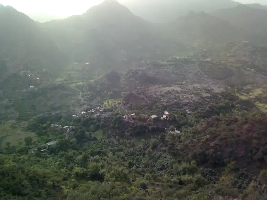
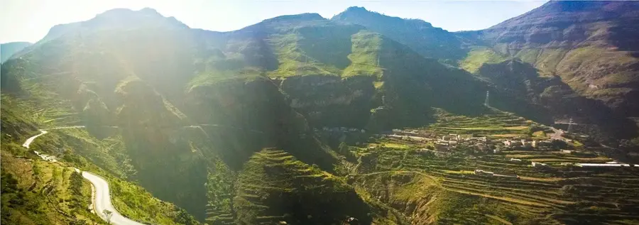
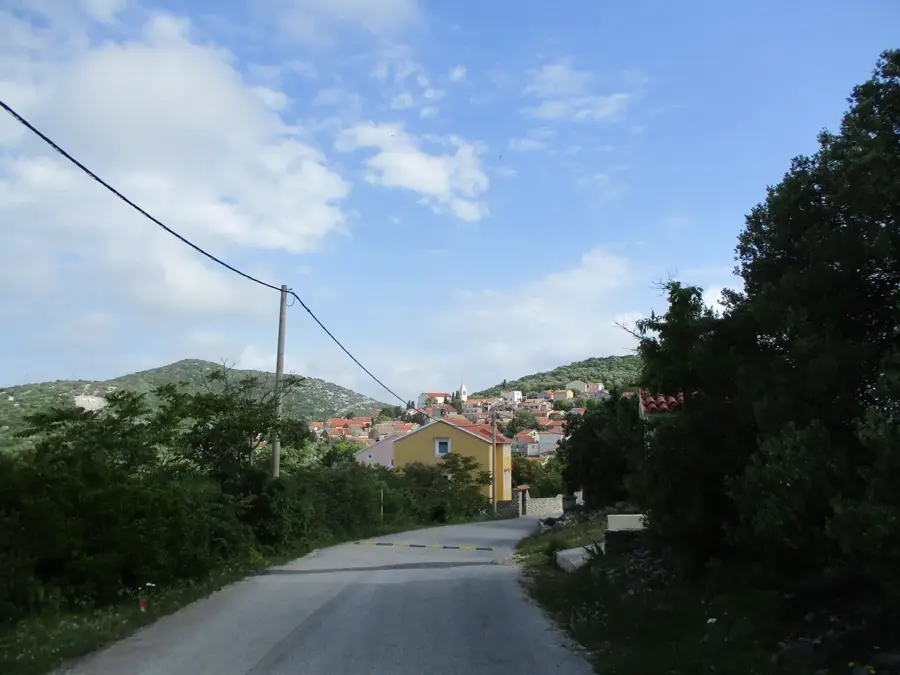
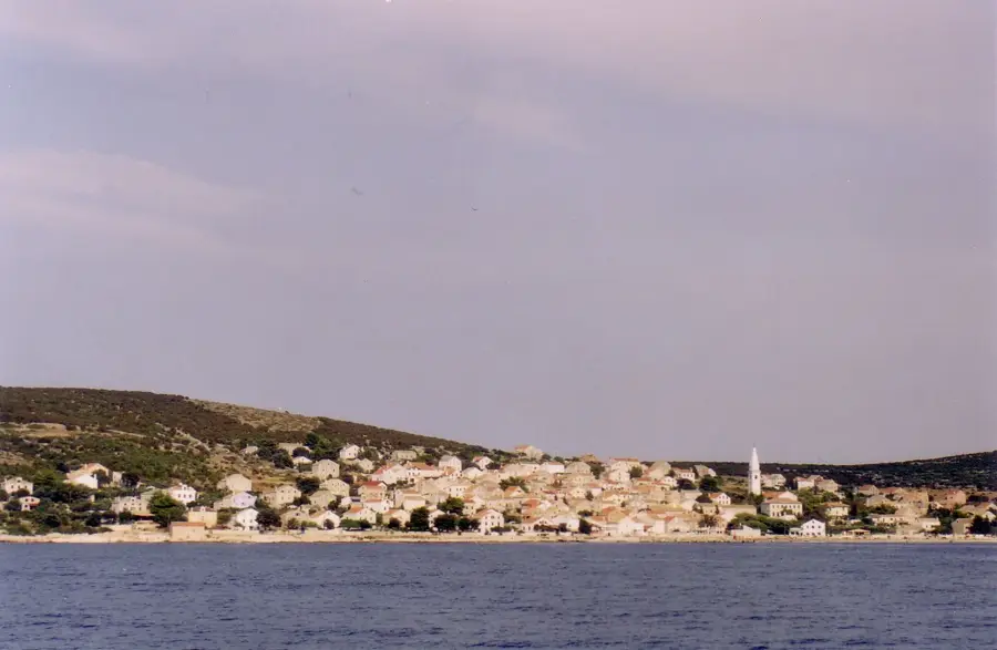
Sumara Pass is one of Yemen’s most awe-inspiring mountain crossings, linking the capital Sana'a with the lush green province of Ibb. The road snakes up the mountains in dizzying hairpin turns, offering travelers some of the most spectacular vistas in the entire country. The region is famed for its incredibly steep agricultural terraces, where grains and coffee have been cultivated for millennia. The pass is frequently shrouded in mist and clouds, lending the landscape a mystical, ethereal quality. Traversing the pass is an adventure in itself, featuring numerous viewpoints to admire the vastness of the Yemeni highlands. Along the route, ancient stone watchtowers still stand, remnants of a time when they guarded these vital trade arteries. The terraced hillsides are a profound testament to the industry and skill of local farmers who utilize every available inch of land. During the rainy season, the entire area transforms into an animated, lush green, offering a stark contrast to the arid northern regions. In the small settlements dotted along the pass, travelers can sample simple local fare and enjoy authentic Yemeni coffee. The air at this altitude is refreshingly cool, providing a welcome escape from the heat of the lower plains. Local culture is deeply tied to the land, and it is common to see farmers tending to their crops on the narrow, high-altitude ledges. While there are no major cities directly on the pass, the area is scattered with traditional stone dwellings. The best time to visit is in late summer after the rains, when the terraces are at their most verdant. The pass is a key segment of the main north-south highway, making it a busy yet essential experience for any journey through the country. A stop at Sumara Pass is mandatory for anyone wishing to witness the harmony between Yemeni engineering and the raw beauty of the natural world.
- Location: Yemen
- Nearby: Yarim (14 km)
Geography
Facts
- The pass reaches altitudes exceeding 2,800 meters.
- It is a vital segment of the main Sana'a-Taiz highway.
- The terraces here are among the steepest in the world.
- Fog and mist are common due to the high elevation.
- Ancient stone watchtowers line the ridges of the pass.
- The region receives significantly more rain than the north.
- The pass offers 360-degree panoramic mountain views.
- Terrace farming has been practiced here for millennia.
Explore nearby
Notable places around
Route planner — Car & Motorhome
Where do you start? We build the route here, with stops and country notes along the way.
© OpenStreetMap contributors · OpenRouteService
Sights in the town Sumara Pass (1)
Frequently asked questions
Sumara Pass: where is it located?
Sumara Pass: why is it worth visiting?

Nearby cities


History & landmarks
More places