Plizio Visual Lab
Jabal Sumarah
Weather…
Water temperature…
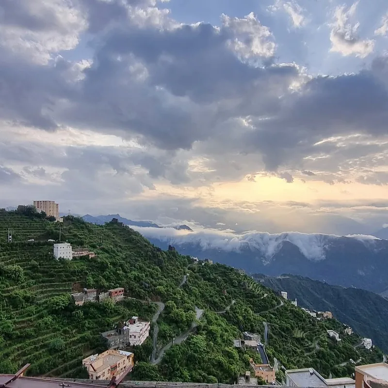
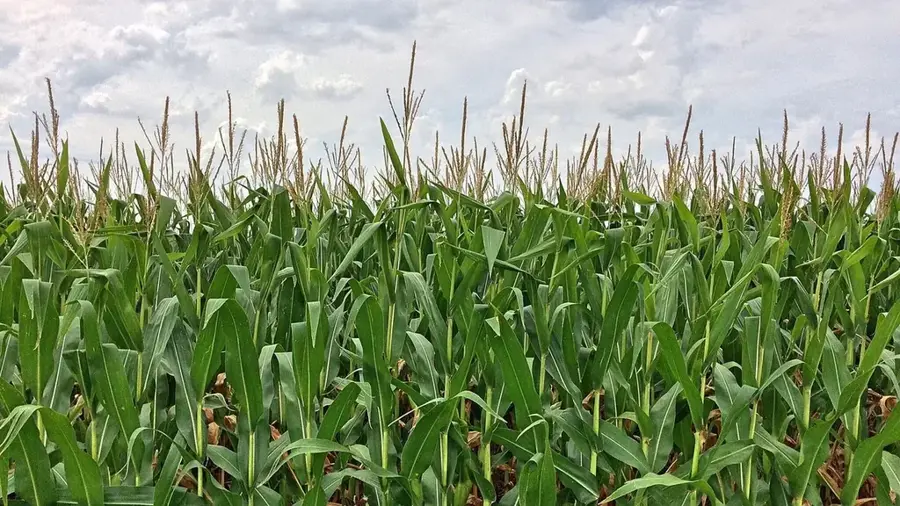
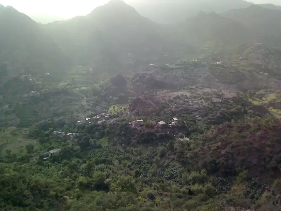
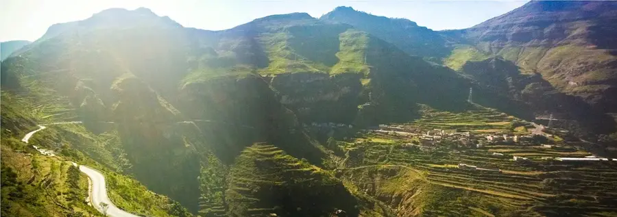
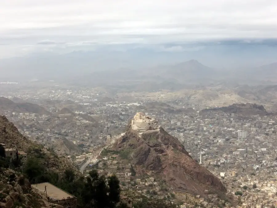
Jabal Sumarah is a prominent mountain massif in the Ibb Governorate and forms one of Yemen's most strategically important mountain passes. With heights exceeding 2,700 meters, the mountain has spectacular views of the surrounding valleys and the intensively terraced slopes that are characteristic of the Yemeni highlands. The climate here is significantly cooler and more humid than in the lowlands, enabling the cultivation of qat, coffee, and various types of grains. The road that crosses the Sumarah Pass is a vital transport artery connecting the capital Sana'a with the south of the country. Geologically, the massif consists of volcanic rocks that have been shaped into rugged formations by erosion. Historically, the pass was often heavily contested as it controls access between the different regions of the highlands. The clouds that often get caught on the mountain slopes give the landscape a mystical and green appearance.
- Location: Yemen
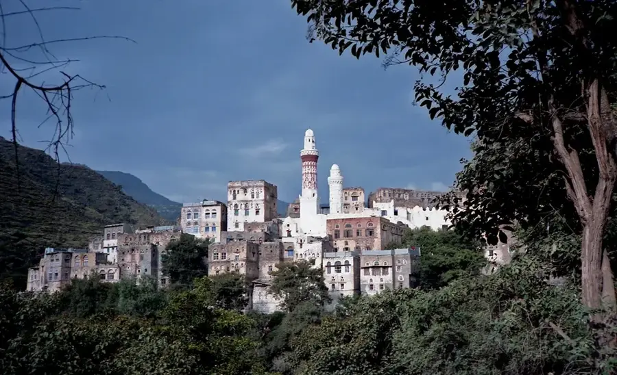
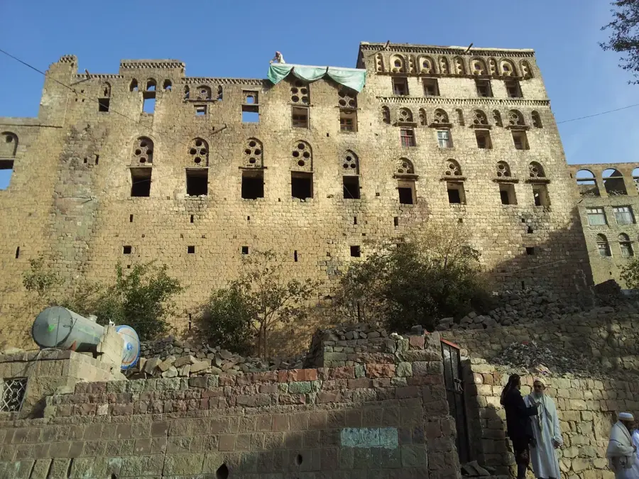
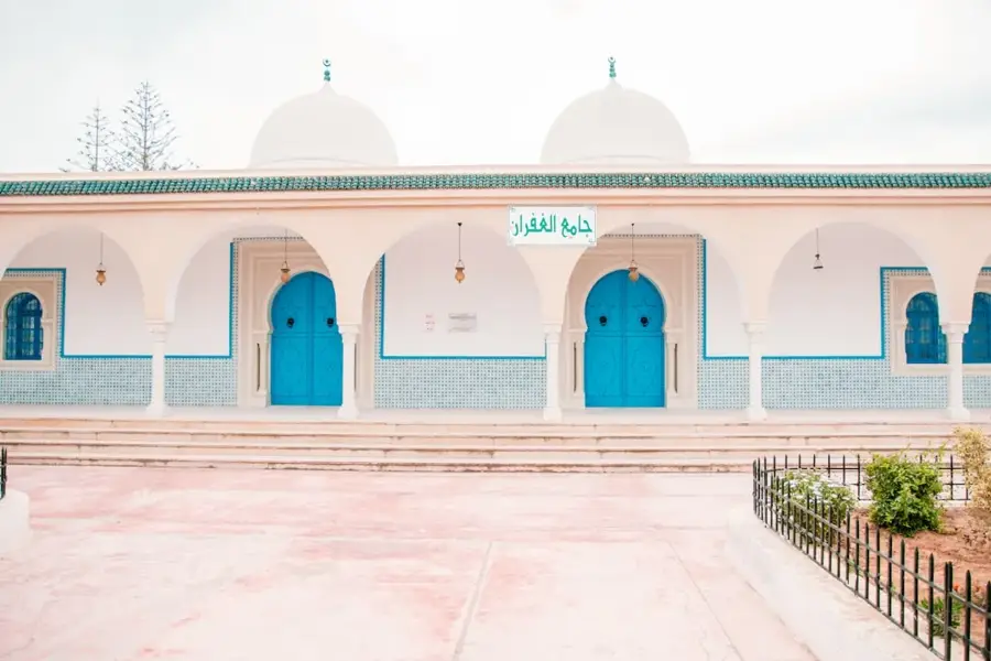
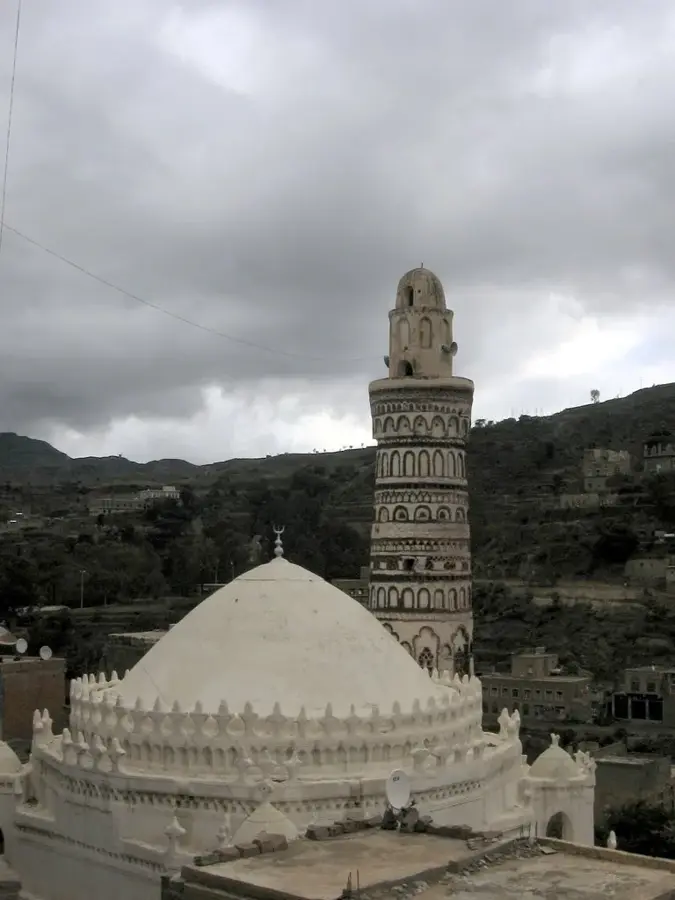
- Top sights: Jabal Ba`ir · Jabal al `Aridah · Jabal Hubaysh
- Nearby: Sumara Pass (11 km)
Best time to visit & climate
The most pleasant time to visit is Jan, Feb, Dec.
| Jan | Feb | Mar | Apr | May | Jun | Jul | Aug | Sep | Oct | Nov | Dec | |
|---|---|---|---|---|---|---|---|---|---|---|---|---|
| Avg °C | 23 | 24 | 27 | 28 | 29 | 30 | 29 | 28 | 28 | 26 | 24 | 23 |
| Rain mm | 5 | 3 | 8 | 36 | 35 | 37 | 55 | 75 | 75 | 31 | 5 | 13 |
📋 Practical info
Geography
Facts
- The Sumarah Pass is situated at an altitude of approximately 2,750 meters above sea level.
- The region is among the areas with the highest rainfall in all of Yemen.
- Terraced farming has been continuously practiced here for over 2,000 years.
- The mountain is part of the Sarawat range that stretches across western Arabia.
- In winter, nighttime temperatures can drop close to the freezing point.
- The road over the pass is considered one of the most technically demanding in the country.
Explore nearby
Notable places around
Route planner — Car & Motorhome
Where do you start? We build the route here, with stops and country notes along the way.
© OpenStreetMap contributors · OpenRouteService
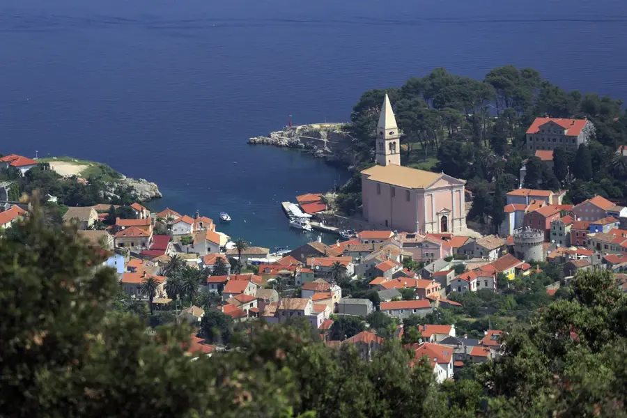
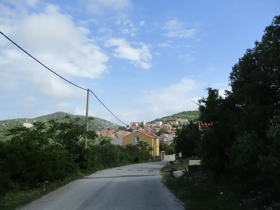
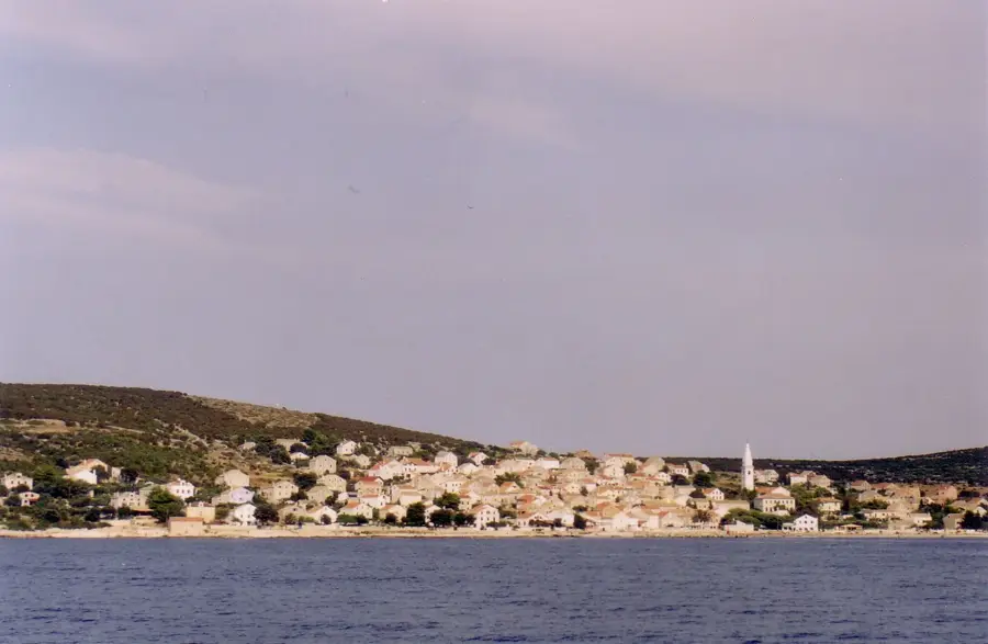
Sights in the town Jabal Sumarah (3)
Sights nearby
Frequently asked questions
How high is Jabal Sumarah?
Is the climb difficult?
Are there mountain huts?
How is the weather at the peak?
Can you camp there?
Jabal Sumarah: where is it located?
Jabal Sumarah: what is there to see?
Jabal Sumarah: when is the best time to visit?
Jabal Sumarah: why is it worth visiting?

Nearby cities


History & landmarks
More places