Plizio Visual Lab
Ngang Pass
Weather…
Water temperature…
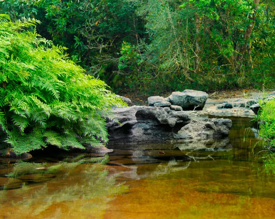
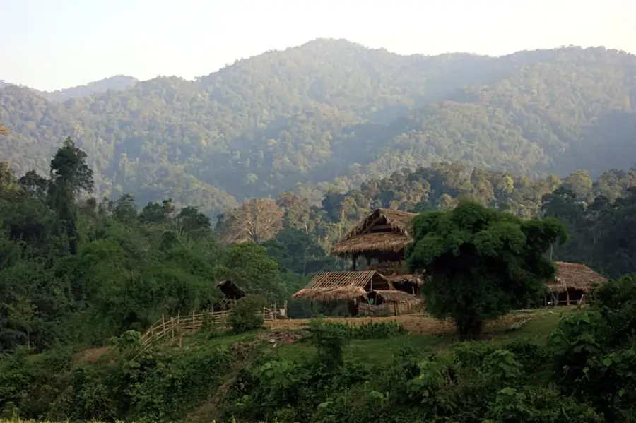
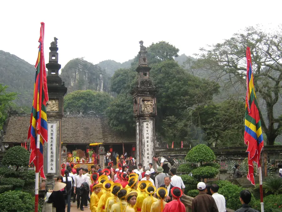
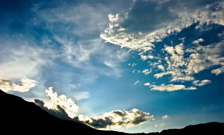
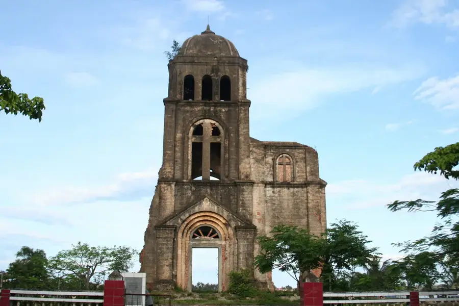
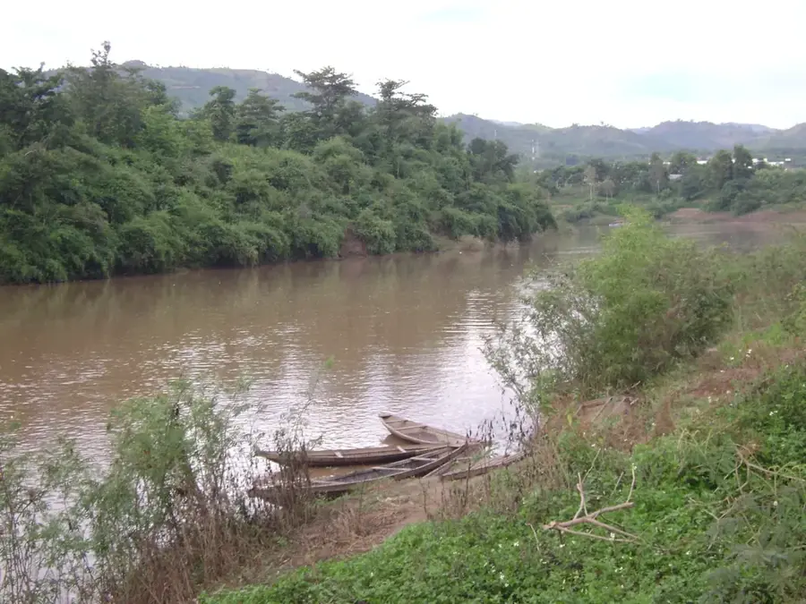
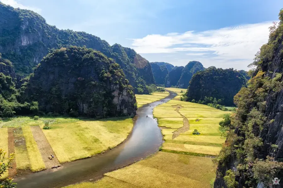
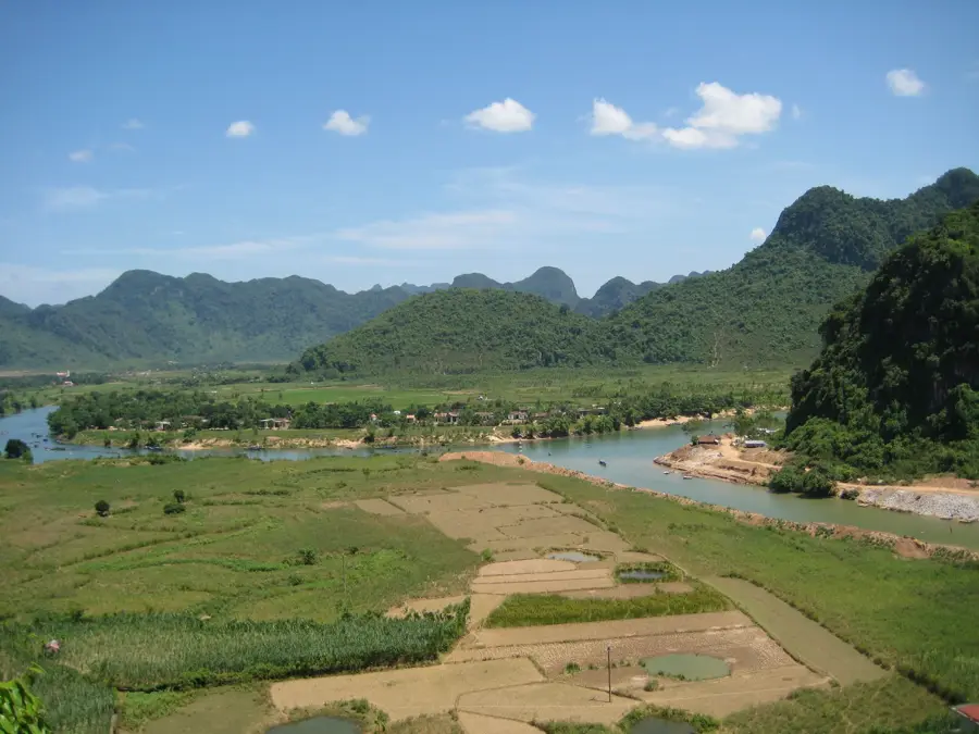
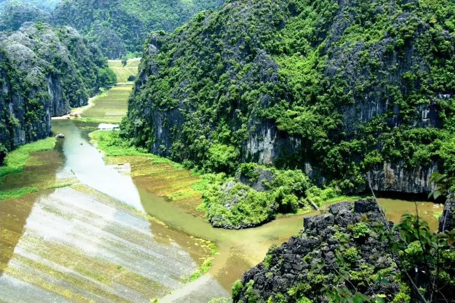
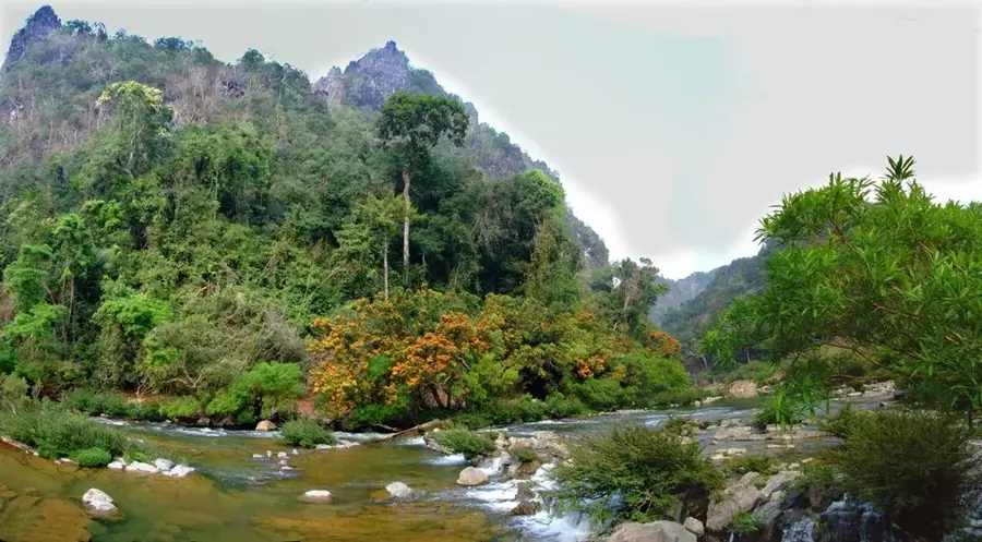
The Ngang Pass, locally known as Deo Ngang, is a historic mountain pass in Central Vietnam that traverses the Hoanh Son range. It serves as the natural boundary between Ha Tinh and Quang Binh provinces and historically marked the border between the kingdoms of Dai Viet and Champa. The pass reaches an elevation of approximately 256 meters above sea level and extends for about six kilometers along the coast. At its summit stands Hoanh Son Quan, a monumental brick gate commissioned in 1833 by Emperor Minh Mang to control the strategic north-south route. The pass is deeply embedded in Vietnamese literature, most notably through the classic poem by Ba Huyen Thanh Quan, which captures the serene and melancholic atmosphere of the landscape. While a modern tunnel was completed in 2004 to facilitate rapid transit, the old winding road over the pass remains a popular scenic route for travelers seeking panoramic views of the coastline.
- Location: Vietnam
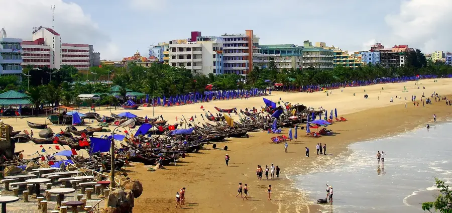
- Nearby: Thien Cam (26 km)
Best time to visit & climate
The most pleasant time to visit is Jan–Mar.
| Jan | Feb | Mar | Apr | May | Jun | Jul | Aug | Sep | Oct | Nov | Dec | |
|---|---|---|---|---|---|---|---|---|---|---|---|---|
| Avg °C | 20 | 21 | 23 | 26 | 28 | 29 | 29 | 28 | 27 | 26 | 24 | 21 |
| Rain mm | 41 | 26 | 45 | 55 | 124 | 100 | 188 | 233 | 383 | 437 | 135 | 85 |
📋 Practical info
Geography
Facts
- The maximum elevation of the pass is 256 meters above sea level.
- The winding mountain road extends for 6 kilometers.
- The Hoanh Son Quan gate was constructed in 1833 by the Nguyen Dynasty.
- The modern road tunnel beneath the pass is 495 meters long.
- Historically, the pass marked the southern limit of the Dai Viet kingdom.
- The pass was a key site for defensive fortifications throughout history.
Explore nearby
Notable places around
Route planner — Car & Motorhome
Where do you start? We build the route here, with stops and country notes along the way.
© OpenStreetMap contributors · OpenRouteService
Sights nearby
Frequently asked questions
Is the Ngang pass dangerous?
What is special about the Ngang pass?
Are there viewpoints there?
Is it suitable for beginners?
What is the best time of day?
Ngang Pass: where is it located?
Ngang Pass: when is the best time to visit?
Ngang Pass: why is it worth visiting?

Nearby cities
History & landmarks

Nature
More places