Plizio Visual Lab
Chimantá Massif
Weather…
Water temperature…
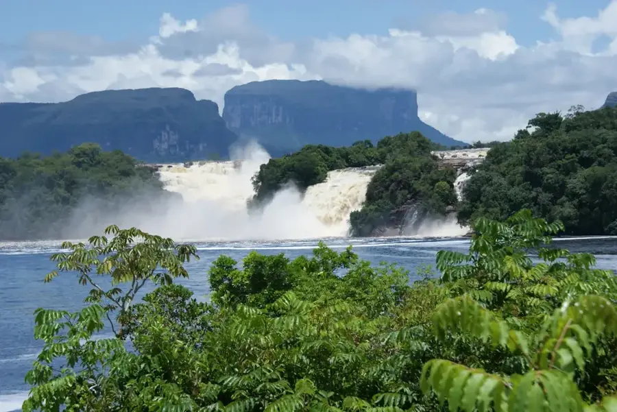
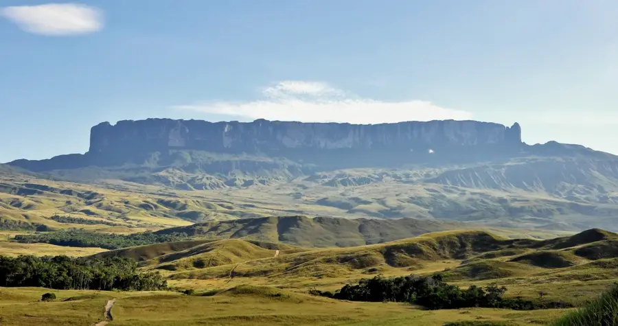
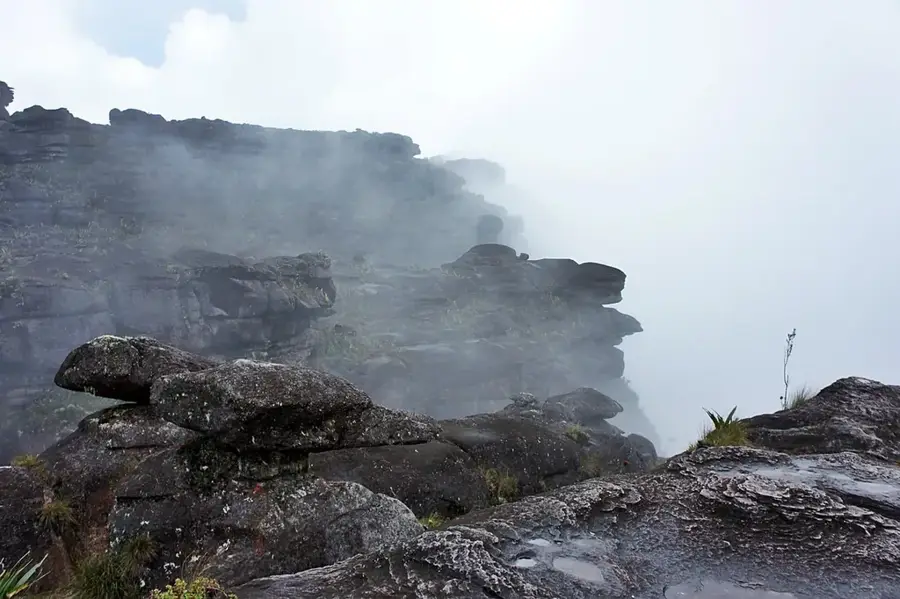
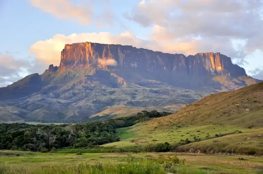
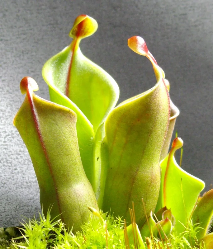
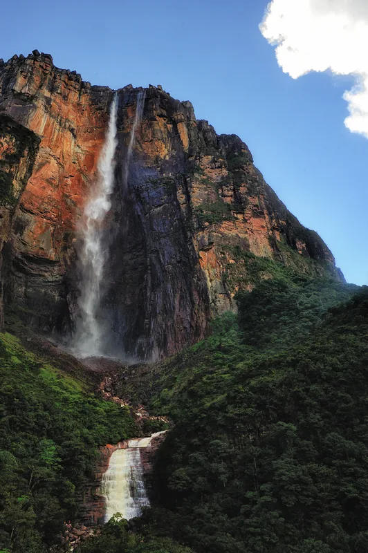
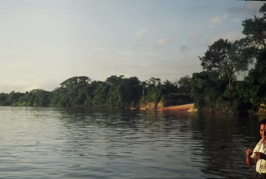
The Chimantá Massif is one of the largest and most complex systems of table-top mountains (tepuis) in Bolívar state, southeastern Venezuela. Covering an area of approximately 1,470 square kilometers, it consists of eleven distinct tepuis separated by deep, rugged canyons. This geological formation is part of the Guiana Shield and is composed of ancient Precambrian sandstone from the Roraima Group. Due to its vast extent and extreme isolation, Chimantá hosts one of the highest rates of plant endemism in the world. Botanists have identified numerous genera here that exist nowhere else on Earth. The massif is frequently shrouded in dense clouds, resulting in a moist, cool microclimate that supports specialized high-altitude bog ecosystems. It serves as the headwaters for many rivers that feed into the Caroní basin, playing a critical role in the region's hydrology. Exploration of the massif remains ongoing and incomplete due to its immense size and the logistical challenges of its difficult terrain.
- Location: Venezuela
- Top sights: Akparamán Tepuy · Sarvén Tepuy · Erueda Tepuy
Best time to visit & climate
The most pleasant time to visit is Jan–Mar.
| Jan | Feb | Mar | Apr | May | Jun | Jul | Aug | Sep | Oct | Nov | Dec | |
|---|---|---|---|---|---|---|---|---|---|---|---|---|
| Avg °C | 20 | 21 | 21 | 22 | 21 | 20 | 20 | 21 | 21 | 21 | 21 | 21 |
| Rain mm | 50 | 39 | 48 | 125 | 250 | 304 | 236 | 217 | 119 | 91 | 98 | 78 |
📋 Practical info
Geography
Facts
- Covers an area of about 1,470 km²
- Comprised of 11 individual tepuis
- Located in Bolívar state
- Highest peak: Murei-tepui (2,698 m)
- Extreme level of plant endemism
- Geological age of approximately 1.8 billion years
Explore nearby
Notable places around
Route planner — Car & Motorhome
Where do you start? We build the route here, with stops and country notes along the way.
© OpenStreetMap contributors · OpenRouteService
Sights in the town Chimantá Massif (3)
Sights nearby
Frequently asked questions
How was the Chimantá Massif formed?
Is the massif accessible to tourists?
What flora can be found there?
Is arrival by helicopter possible?
What is the biggest danger?
Chimantá Massif: where is it located?
Chimantá Massif: what is there to see?
Chimantá Massif: when is the best time to visit?
Chimantá Massif: why is it worth visiting?

History & landmarks
Nature
More places