Plizio Visual Lab
Aral Sea
Weather…
Water temperature…
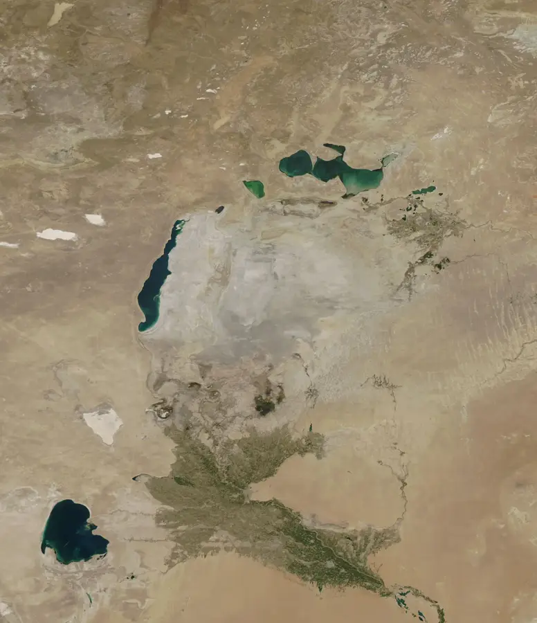
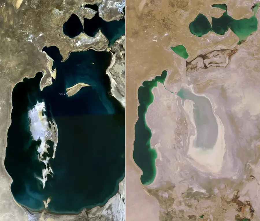
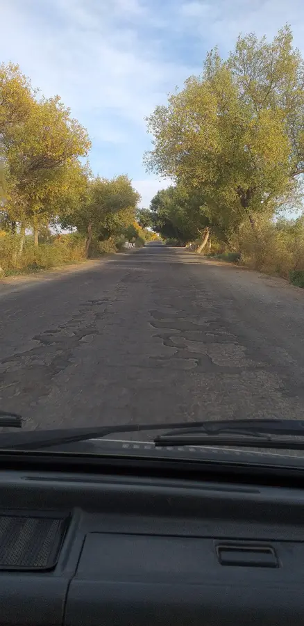
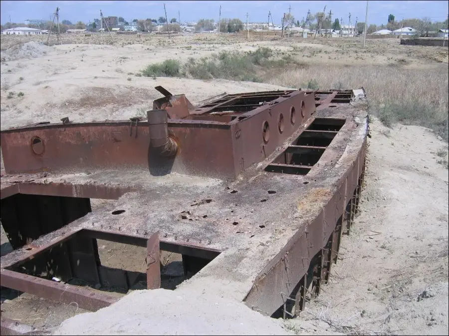
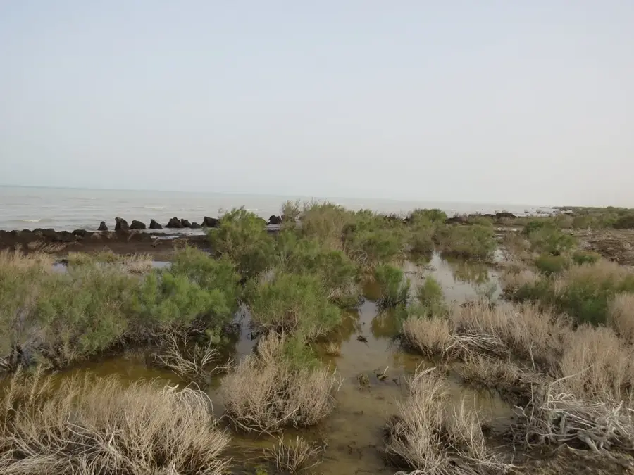
The Aral Sea was once the world's fourth-largest inland sea, but since the 1960s, it has undergone a catastrophic decline due to massive water diversion for cotton irrigation. As the rivers Amu Darya and Syr Darya were redirected, the sea began to split and shrink, leaving behind the vast Aralkum Desert on its dry bed. This environmental tragedy altered the regional climate, leading to hotter summers and colder winters, while destroying the once-lively fishing industry. The port of Muynak, formerly a bustling center for fish processing, now stands kilometers away from the shoreline, hosting a somber "ship graveyard." Current international efforts focus on planting saxaul trees on the exposed seabed to stabilize the soil and reduce toxic dust storms. Although the northern part of the sea has seen some recovery, the southern section remains a hypersaline remnant. Today, the Aral Sea serves as a global cautionary tale of environmental mismanagement and attracts scientists and dark tourists alike.
Best time to visit & climate
The most pleasant time to visit is May, Aug, Sep.
| Jan | Feb | Mar | Apr | May | Jun | Jul | Aug | Sep | Oct | Nov | Dec | |
|---|---|---|---|---|---|---|---|---|---|---|---|---|
| Avg °C | -11 | -8 | 4 | 13 | 21 | 26 | 28 | 26 | 20 | 11 | 1 | -9 |
| Rain mm | 11 | 9 | 16 | 15 | 12 | 8 | 6 | 4 | 3 | 8 | 13 | 11 |
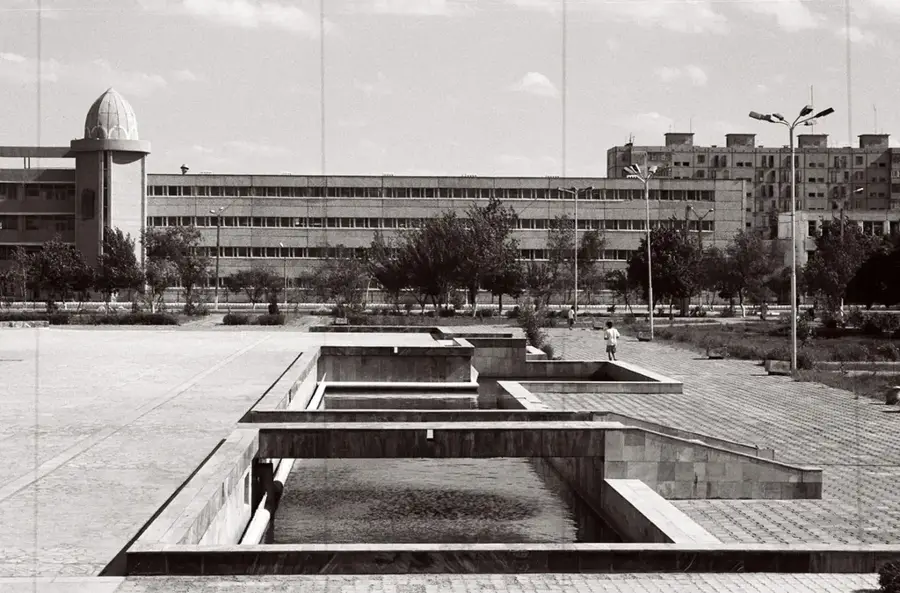
📋 Practical info
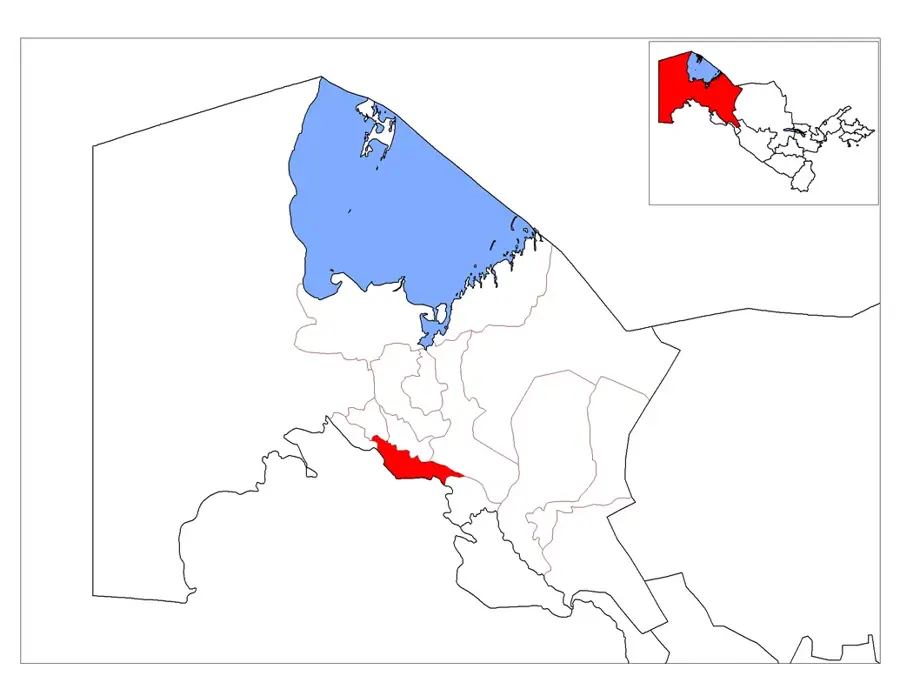
Geography
Facts
- In the 1960s, the Aral Sea covered approximately 68,000 square kilometers.
- The water level has dropped by more than 20 meters since the 1960s.
- Muynak, once a port city, is now located over 100 km from the current shore.
- The salinity of the water increased from 10 g/l to over 100 g/l.
- Over 1.5 million hectares of the seabed have been planted with saxaul trees.
- The Aralkum Desert was formed on the exposed territory of the former sea bed.
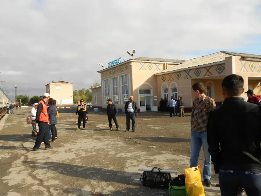
Explore nearby
Notable places around
Route planner — Car & Motorhome
Where do you start? We build the route here, with stops and country notes along the way.
© OpenStreetMap contributors · OpenRouteService
Sights in the town Aral Sea (1)
Sights nearby
Frequently asked questions
What is special about the Aral Sea?
Can one swim there?
Is a guide necessary?
What should one pack?
When is the best time to travel?
Aral Sea: where is it located?
Aral Sea: when is the best time to visit?
Aral Sea: why is it worth visiting?

Nearby cities
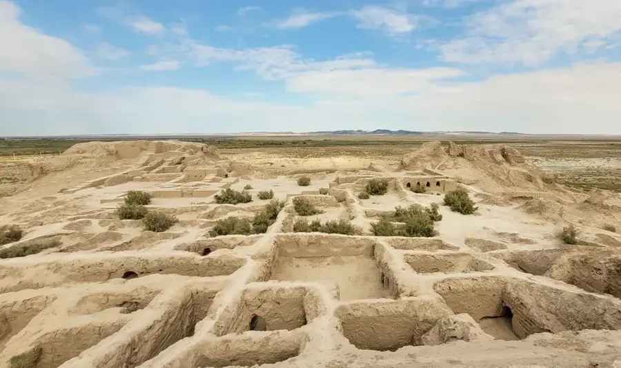
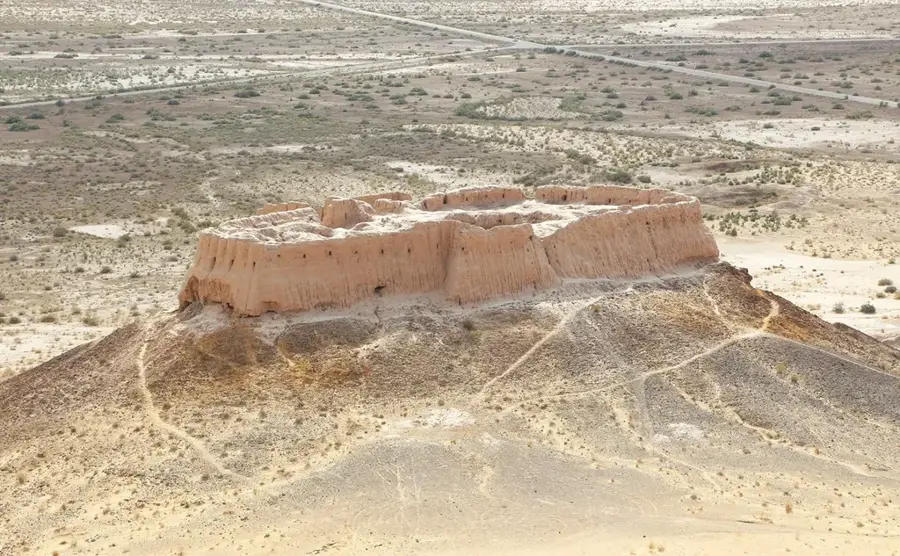
History & landmarks
Nature

More places