Plizio Visual Lab
Vergara
ℹ️Practical info — Vergara
▾
🌤 Weather — 5 days
📍 Nearby
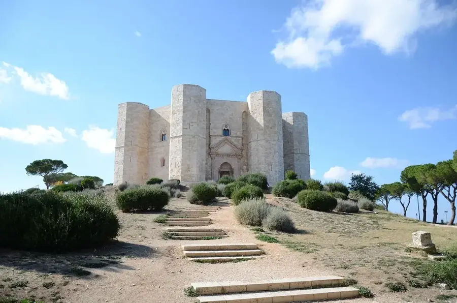
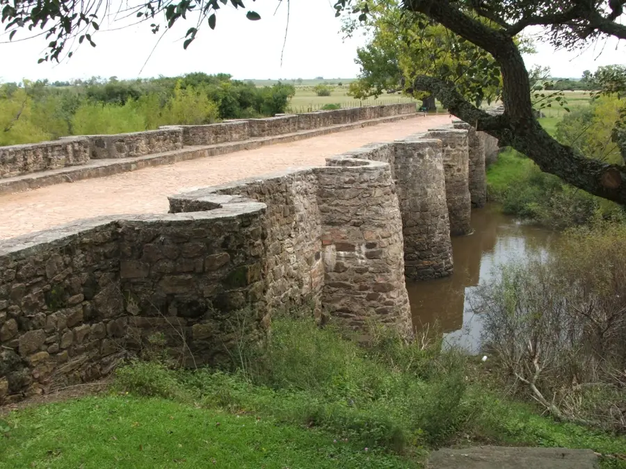
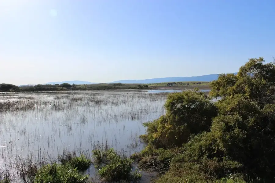
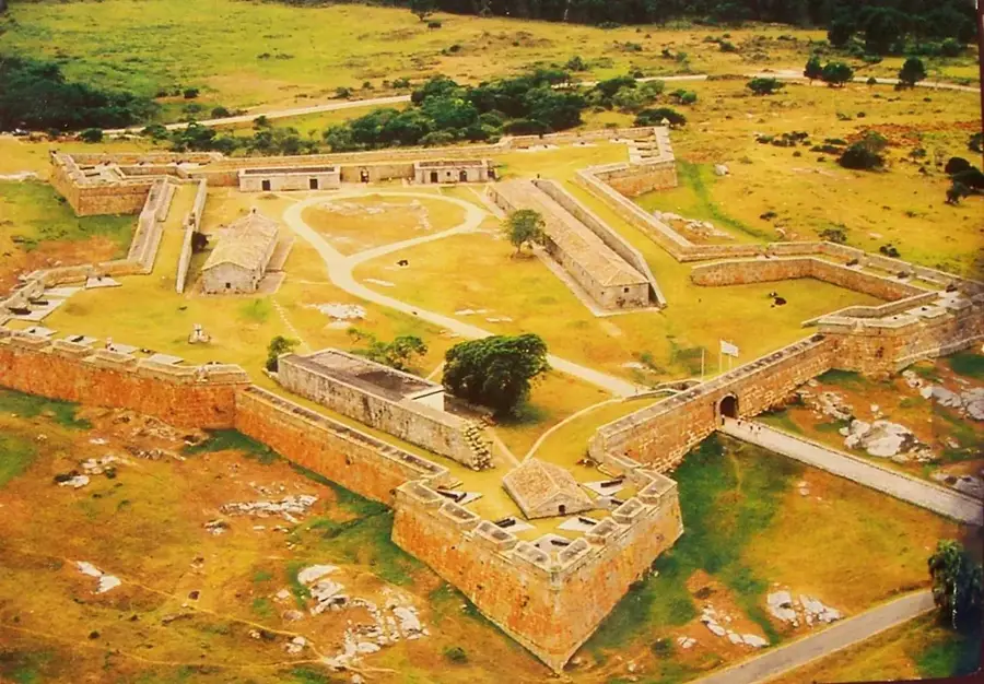
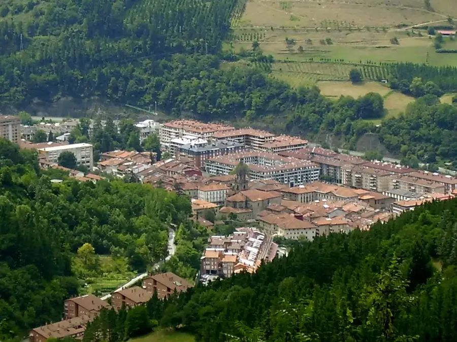
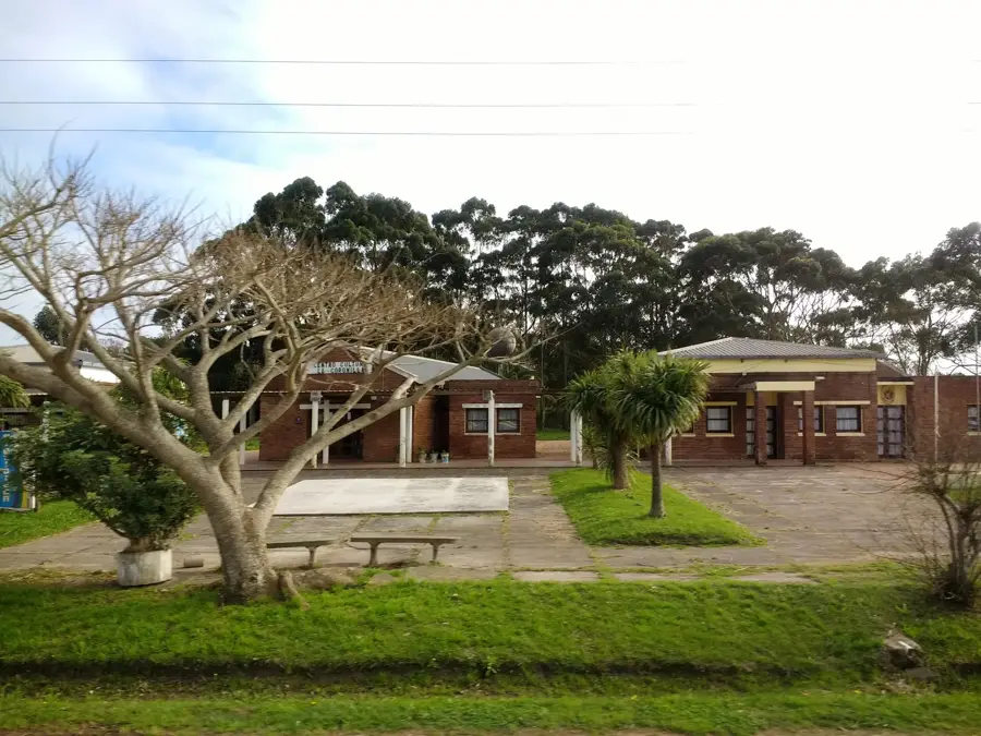
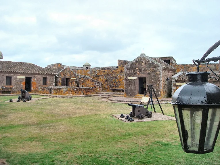
Sights nearby
💡 Tips
- Rent a car if you want to explore the surrounding rural areas of the Treinta y Tres department efficiently.
- Be aware that most local shops and businesses close in the early afternoon for the traditional siesta.
- Carry small denominations of Uruguayan pesos, as card payments are uncommon in smaller rural stores.
- Bring mosquito repellent, especially if you plan to walk near the agricultural water channels and rice fields.
🍽 Food
Try the classic Uruguayan barbecue. Look for local 'parrilladas' (grill houses) around the town center.
Since Vergara is a rice capital, this sweet rice pudding is a very popular homemade dessert found in local bakeries.
Stuffed pastries well-suited for a quick snack. You can find the freshest ones at traditional 'panaderías' in the morning.
🛍 Shopping · 🧘 Quiet spots
Look for authentic leather belts, mate gourds, and traditional gaucho gear in local 'talabarterías' (leather shops).
As an agricultural hub, the region produces premium rice, often available at good prices in local cooperatives.
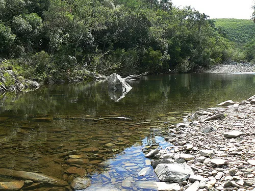
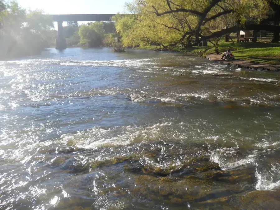
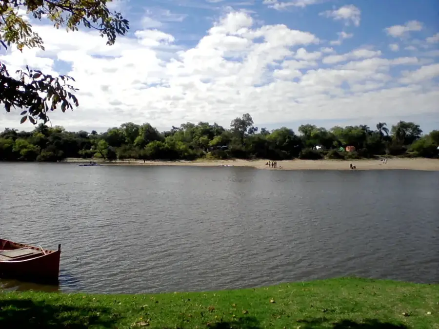
A peaceful creek on the edge of town, handy for a picnic or joining locals for a late afternoon mate session.
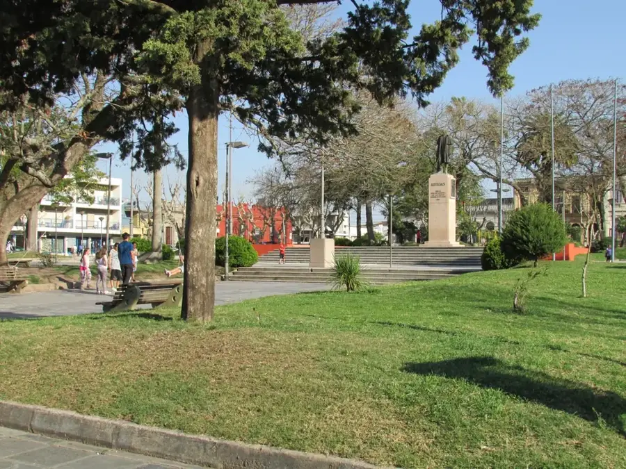
The town's green main square, where you can relax under large trees and observe the slow pace of rural life.
Water temperature…
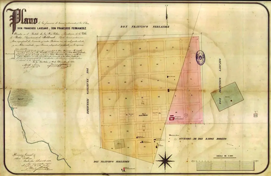
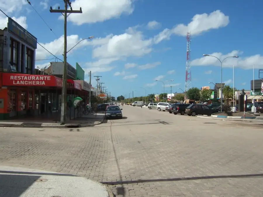
Vergara is a city in the Treinta y Tres Department of eastern Uruguay. It was founded on March 10, 1903, and initially named Villa Dámaso Antonio Larrañaga, after a prominent Uruguayan scientist and religious leader, but is now commonly known by its current name, which comes from a local landowner. The city is located in one of Uruguay's most productive rice-growing regions, which strongly shapes its economy and identity. Rice cultivation, along with cattle ranching, is the cornerstone of the local economy. The city is situated near the Parao stream and is traversed by National Route 18, which connects it to the departmental capital, Treinta y Tres. Vergara was elevated to the status of city (Ciudad) on December 13, 1994. Culturally, the city is known for its connection to agriculture, hosting festivals that celebrate the rice harvest and rural traditions. It serves as a vital service and commercial hub for the large agricultural community in the region.
- Location: Uruguay
- Nearby: Ejido de Treinta y Tres (55 km)
- Population: ~3.810 (2021)
Best time to visit & climate
The most pleasant time to visit is Mar, Nov, Dec.
| Jan | Feb | Mar | Apr | May | Jun | Jul | Aug | Sep | Oct | Nov | Dec | |
|---|---|---|---|---|---|---|---|---|---|---|---|---|
| Avg °C | 24 | 23 | 22 | 18 | 15 | 12 | 11 | 13 | 14 | 17 | 19 | 22 |
| Rain mm | 100 | 126 | 103 | 119 | 119 | 111 | 94 | 121 | 124 | 121 | 80 | 95 |
Geography
Facts
- Founded on March 10, 1903.
- Elevated to city (Ciudad) status on December 13, 1994.
- The population was 3,810 as of the 2011 census.
- A major center for rice cultivation in Uruguay.
- Originally named Villa Dámaso Antonio Larrañaga.
- Traversed by National Route 18.
Explore nearby
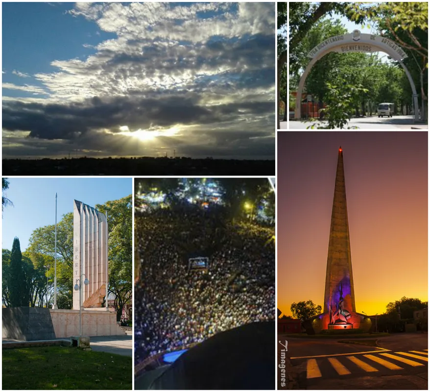
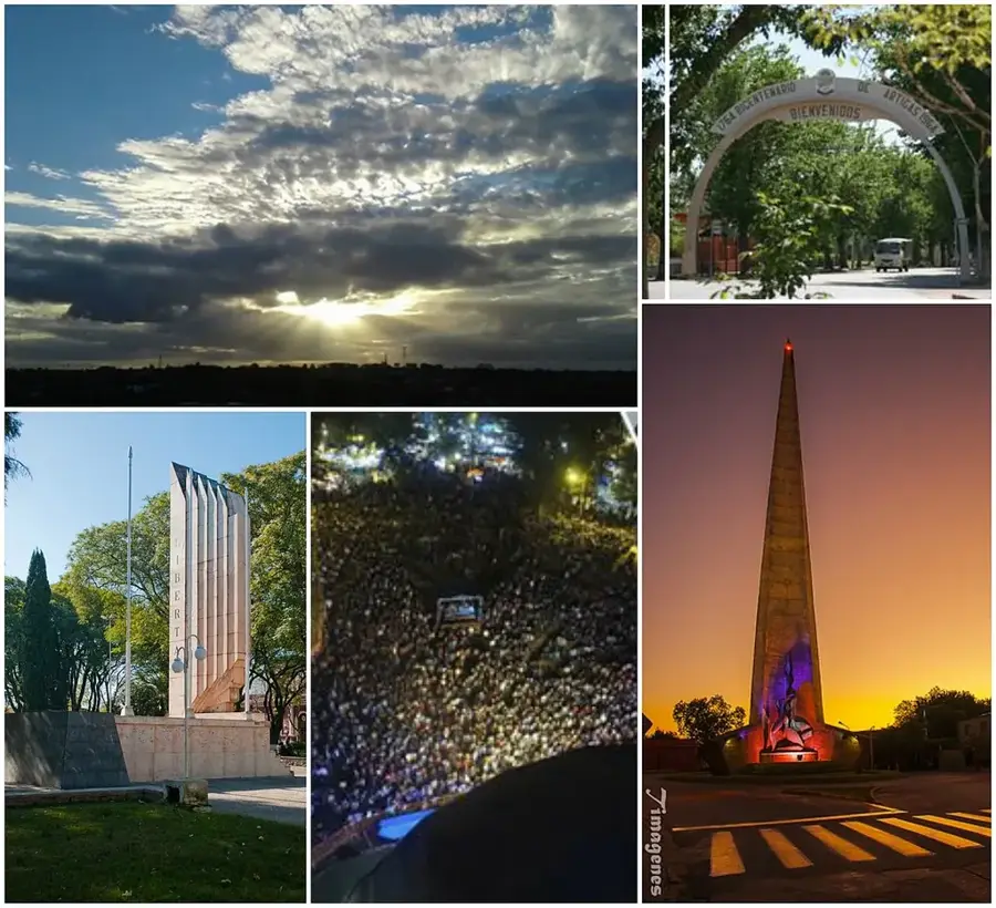
Notable places around
Route planner — Car & Motorhome
Where do you start? We build the route here, with stops and country notes along the way.
© OpenStreetMap contributors · OpenRouteService
Frequently asked questions
Schedule?
When?
Accessibility?
Food?
Families?
Vergara: where is it located?
Vergara: when is the best time to visit?
Vergara: why is it worth visiting?

Nearby cities

History & landmarks
Nature
More places