Plizio Visual Lab
Fortress of Santa Teresa
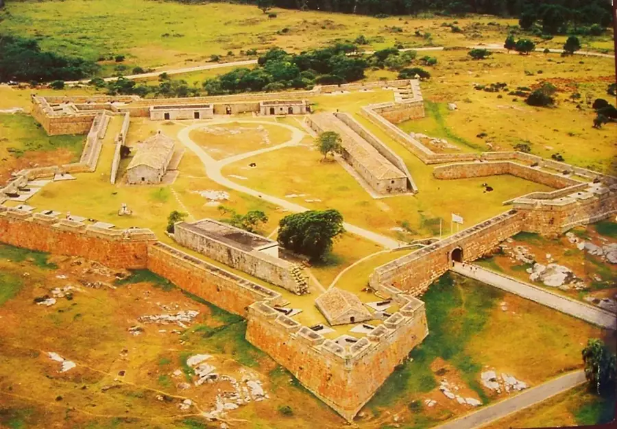
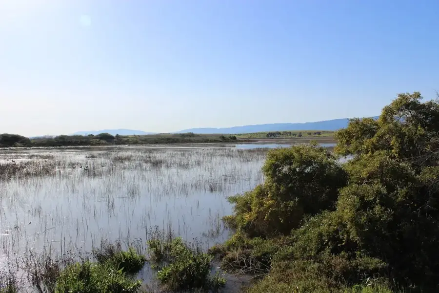
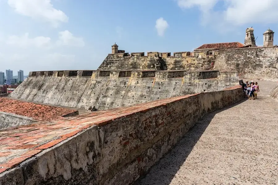
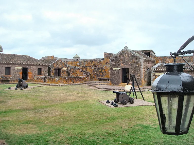
The Fortaleza de Santa Teresa is an imposing stone fortress located within the Santa Teresa National Park in the Rocha department, close to the border with Brazil. Its construction was initiated by the Portuguese in 1762 to secure their territory, but it was captured shortly after by the Spanish, who continued and expanded its construction. The fortress has an irregular pentagonal shape with five bastions and was built from massive granite, giving it a formidable appearance. Its strategic location allowed control over the then-land route between the Portuguese and Spanish colonies. Throughout history, it changed hands several times and fell into disrepair after the end of the colonial wars. In the 1920s, historian Horacio Arredondo led an ambitious restoration project that returned the fortress to its current splendor. Today, it is one of Uruguay's most visited historical sites, surrounded by the 3,000 hectares of forest, beaches, and gardens of the national park.
- Location: Uruguay
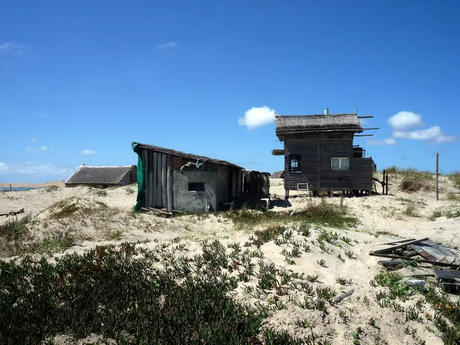
- Top sights: Mirador La Salnera · La Coronilla · Mirador
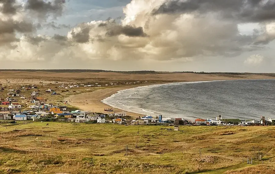
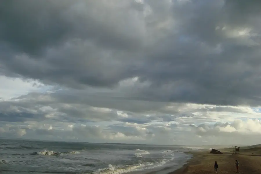
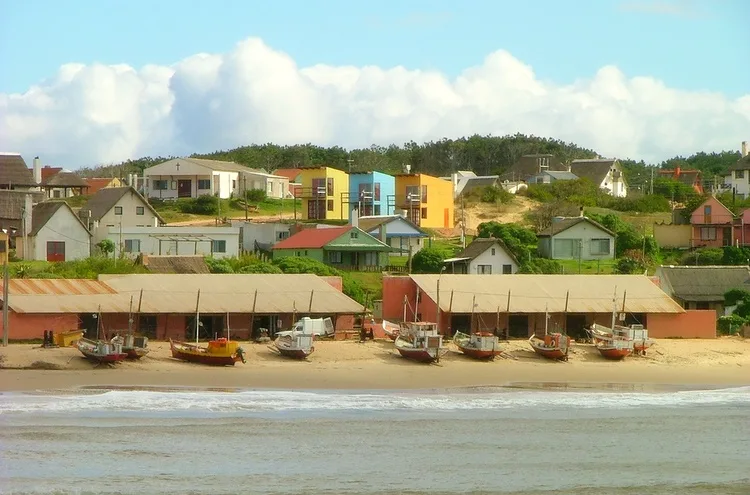
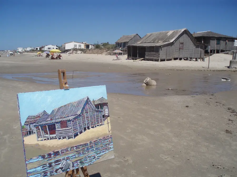
- Nearby: Punta del Diablo (5 km)
Best time to visit & climate
The most pleasant time to visit is Jan, Mar, Dec.
| Jan | Feb | Mar | Apr | May | Jun | Jul | Aug | Sep | Oct | Nov | Dec | |
|---|---|---|---|---|---|---|---|---|---|---|---|---|
| Avg °C | 22 | 22 | 21 | 18 | 15 | 12 | 11 | 12 | 13 | 16 | 18 | 21 |
| Rain mm | 105 | 125 | 125 | 116 | 119 | 114 | 100 | 127 | 118 | 120 | 83 | 92 |
📋 Practical info
Geography
Facts
- Construction was started by the Portuguese in 1762.
- Captured by the Spanish shortly after construction began.
- The walls are over 12 meters high.
- It has an irregular pentagonal shape with five bastions.
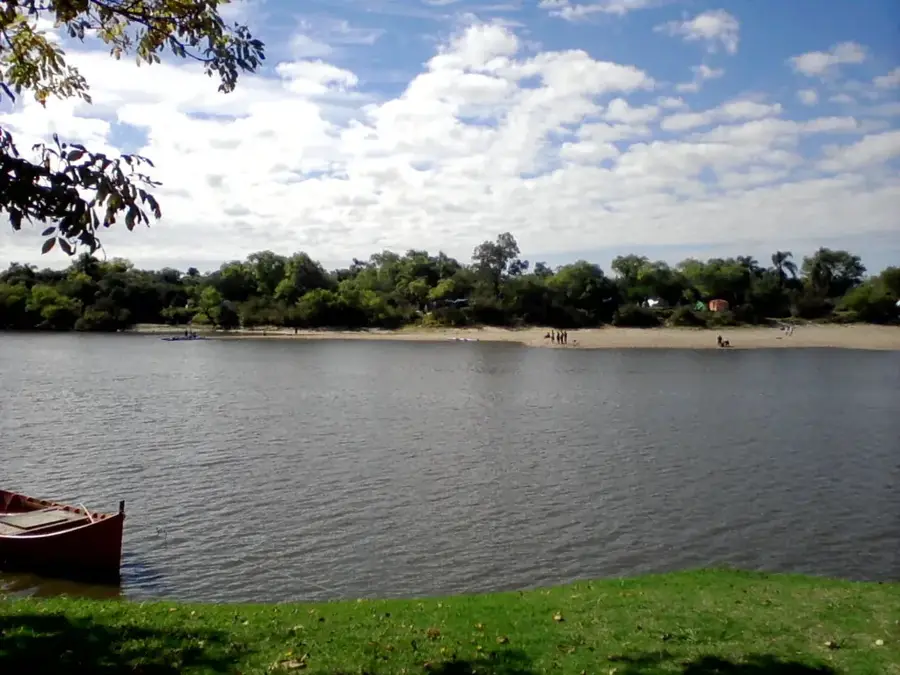
- Located within Santa Teresa National Park, which covers 3,000 hectares.
- Restored in the 1920s under the direction of Horacio Arredondo.
- The perimeter of the fortress is 652 meters.
- Inside there is a chapel, powder magazines, and lodging quarters.
Explore nearby
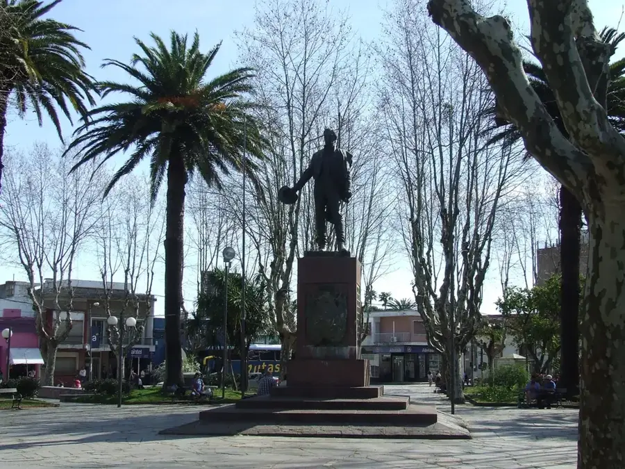
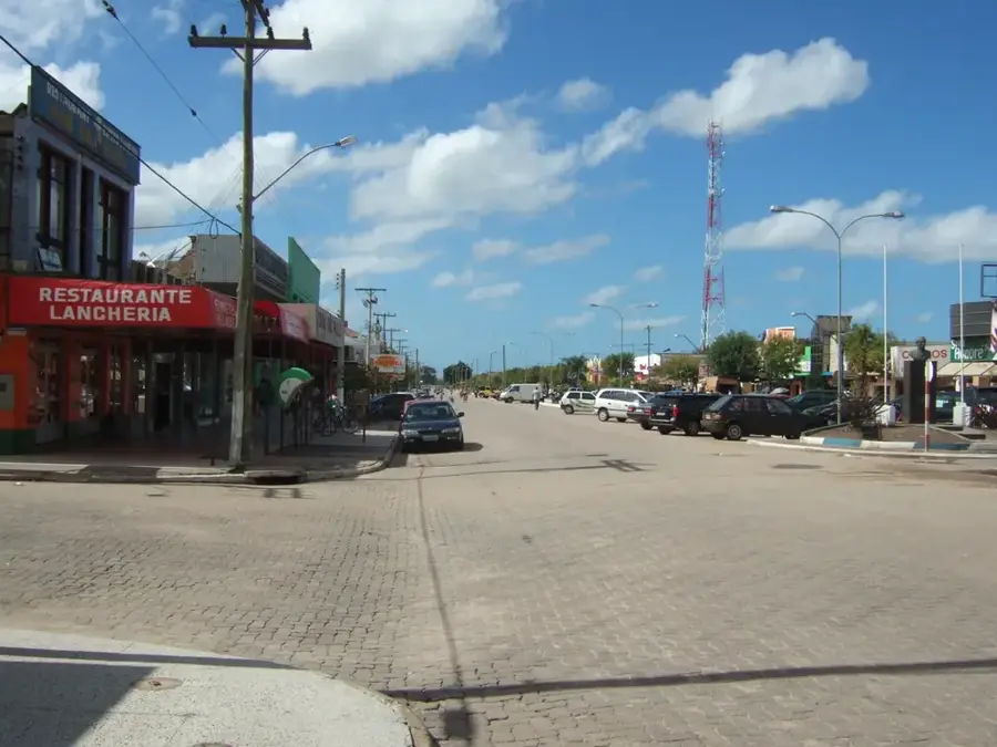
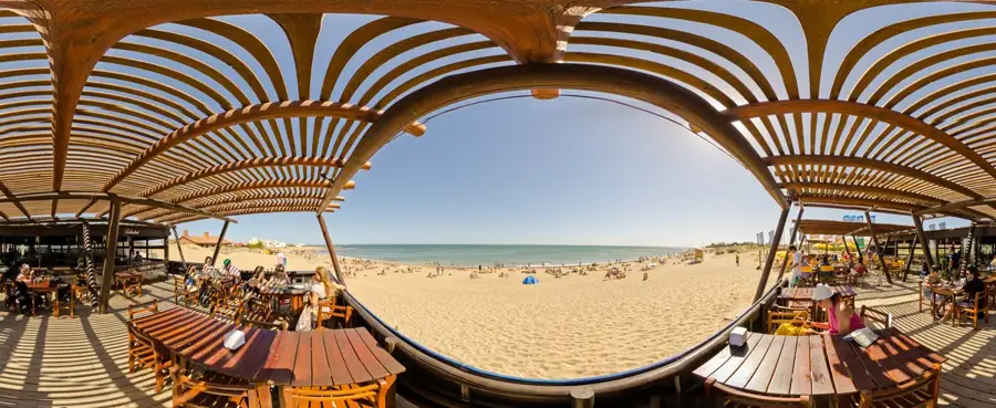
Notable places around
Route planner — Car & Motorhome
Where do you start? We build the route here, with stops and country notes along the way.
© OpenStreetMap contributors · OpenRouteService
Sights in the town Fortress of Santa Teresa (8)
Sights nearby
Frequently asked questions
Can you visit the Fortaleza de Santa Teresa?
What is the best time to visit?
Is there parking available?
How much time should I plan for?
Are there restrooms?
Fortress of Santa Teresa: where is it located?
Fortress of Santa Teresa: what is there to see?
Fortress of Santa Teresa: when is the best time to visit?
Fortress of Santa Teresa: why is it worth visiting?

Nearby cities

History & landmarks


Nature
More places