Plizio Visual Lab
Cerro de las Espadas

Weather…
Water temperature…
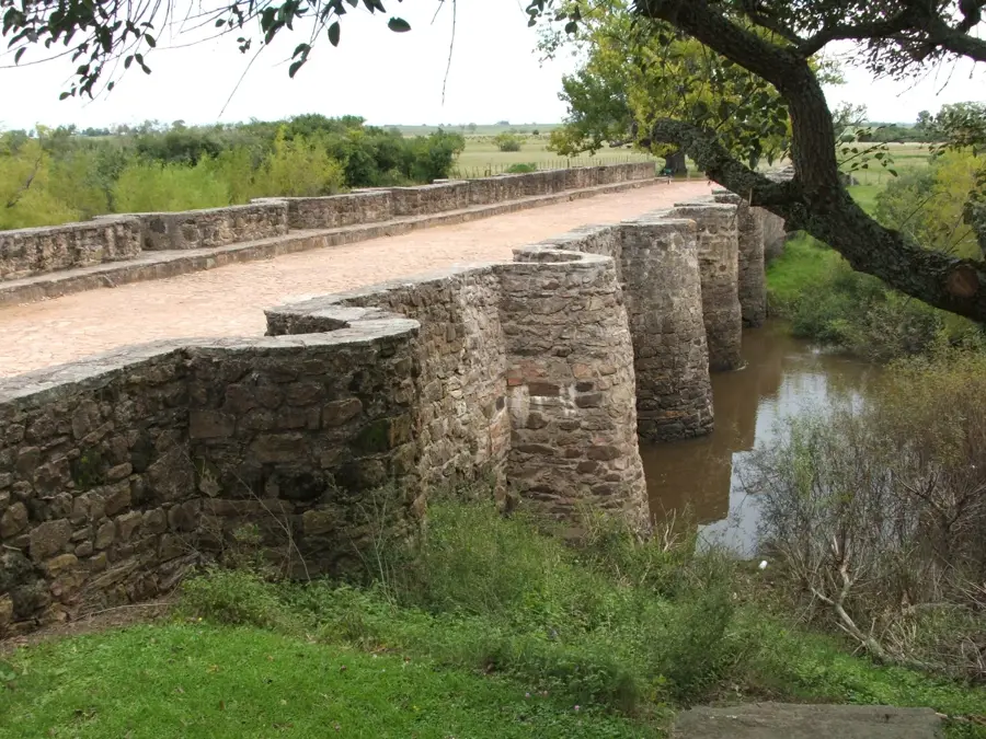
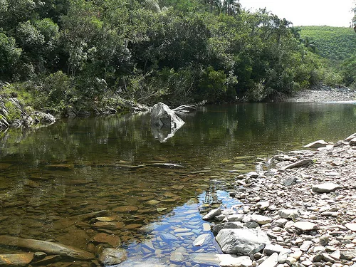
Cerro de las Espadas ('Hill of Swords') is a hill located in the Cerro Largo Department, near the city of Melo. Its intriguing name is believed to come either from the sharp, sword-like rock formations found on its slopes, or from the discovery of Spanish colonial-era swords. The hill reaches an altitude of approximately 280 meters and is part of the Cuchilla Grande system, which forms the backbone of Uruguay's topography. Geologically, it is composed of Precambrian granite and gneiss rocks. Though not a high peak, it is a prominent feature in the mostly flat to gently rolling landscape of Cerro Largo. The vegetation is primarily Pampas grassland, good for cattle ranching, which is traditionally the region's main economic activity. The hill and its surroundings are also of historical interest, having been the scene of events during the independence struggles and the 19th-century civil wars. It stands as a symbol of local identity and the department's rich history.
- Location: Uruguay
- Nearby: Fraile Muerto (34 km)
Best time to visit & climate
The most pleasant time to visit is Mar, Nov, Dec.
| Jan | Feb | Mar | Apr | May | Jun | Jul | Aug | Sep | Oct | Nov | Dec | |
|---|---|---|---|---|---|---|---|---|---|---|---|---|
| Avg °C | 24 | 23 | 21 | 18 | 14 | 12 | 11 | 12 | 14 | 17 | 19 | 22 |
| Rain mm | 107 | 124 | 104 | 125 | 116 | 110 | 97 | 120 | 133 | 131 | 89 | 96 |
📋 Practical info
Geography
Facts
- Located in the Cerro Largo Department.
- Reaches an altitude of approximately 280 meters.
- Its name means 'Hill of Swords'.
- Geologically part of the Precambrian Cuchilla Grande.
- Situated near the departmental capital, Melo.
- Legend says colonial swords were found here.
Explore nearby
Notable places around
Route planner — Car & Motorhome
Where do you start? We build the route here, with stops and country notes along the way.
© OpenStreetMap contributors · OpenRouteService
Sights nearby
Frequently asked questions
Why is it called Cerro de las Espadas?
Is the climb dangerous?
When is the best time to visit?
Is drone flying allowed?
Are there guided tours?
Cerro de las Espadas: where is it located?
Cerro de las Espadas: when is the best time to visit?
Cerro de las Espadas: why is it worth visiting?

Nearby cities


More places