Plizio Visual Lab
Cebollatí River
Weather…
Water temperature…
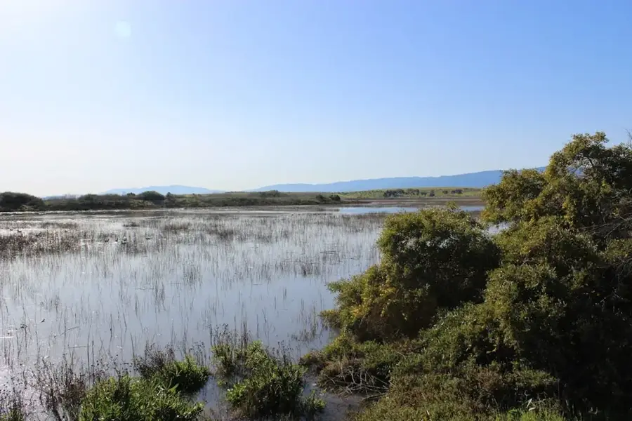
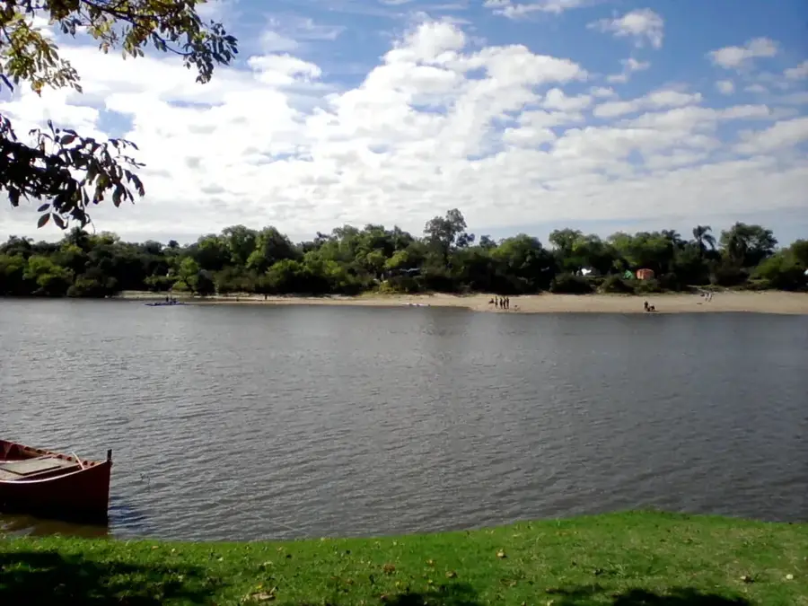
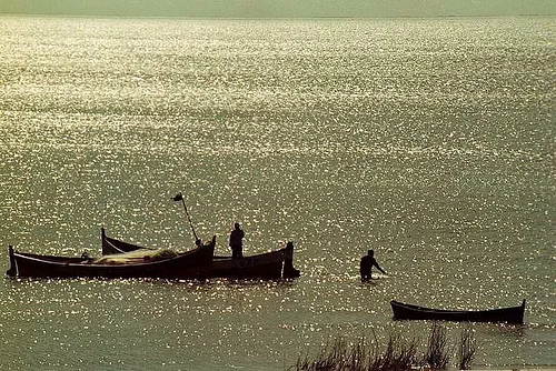
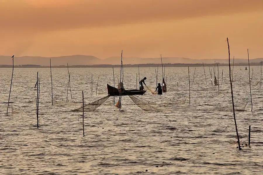
The Cebollatí River is one of the longest rivers in Uruguay, with a length of approximately 235 kilometers. It originates in the Cuchilla Grande in the Lavalleja Department and flows northeast, forming the border between the departments of Rocha and Treinta y Tres, before emptying into the Laguna Merín. Its basin of 14,085 square kilometers is one of the largest in the country and is critically important for rice cultivation, a mainstay of the regional economy. The river is navigable by small boats and plays a significant role in irrigation. The river's ecosystem is part of the larger Bañados del Este wetland system, which has been designated as a Wetland of International Importance by the Ramsar Convention. This region is a paradise for birdwatchers, hosting hundreds of avian species. The name 'Cebollatí' is derived from the Guaraní word 'cebolla-tí', meaning 'field of onions', referring to the wild onion plants that were once abundant in the area.
- Location: Uruguay
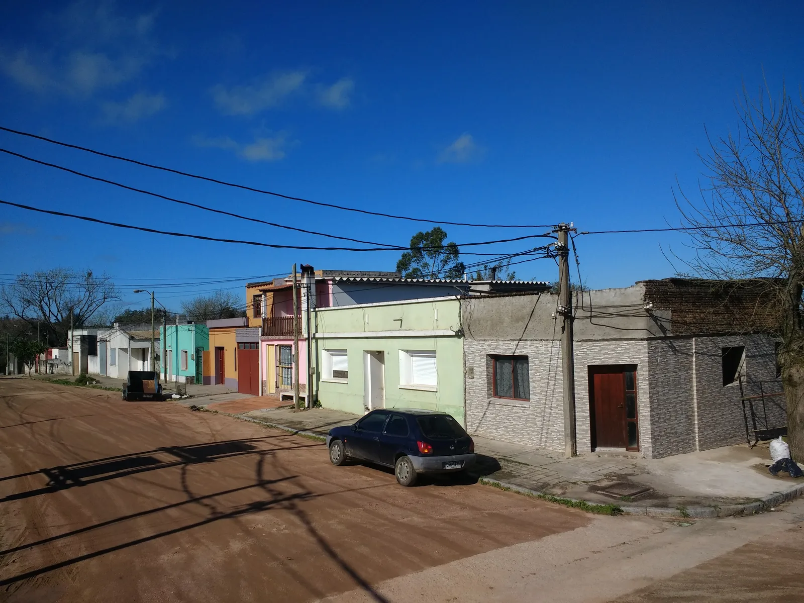
- Nearby: Chuy (35 km)
Best time to visit & climate
The most pleasant time to visit is Mar, Nov, Dec.
| Jan | Feb | Mar | Apr | May | Jun | Jul | Aug | Sep | Oct | Nov | Dec | |
|---|---|---|---|---|---|---|---|---|---|---|---|---|
| Avg °C | 24 | 23 | 22 | 18 | 15 | 12 | 11 | 13 | 14 | 17 | 19 | 22 |
| Rain mm | 100 | 126 | 103 | 119 | 119 | 111 | 94 | 121 | 124 | 121 | 80 | 95 |
📋 Practical info
Geography
Facts
- The river is approximately 235 kilometers long.
- Its drainage basin covers 14,085 square kilometers.
- It forms the border between Rocha and Treinta y Tres departments.
- The area is part of the Bañados del Este Ramsar site.
- The name means 'field of onions' in Guaraní.
- It flows into Laguna Merín, not directly into the sea.
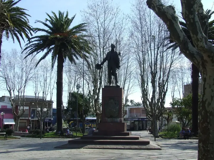
Explore nearby
Notable places around
Route planner — Car & Motorhome
Where do you start? We build the route here, with stops and country notes along the way.
© OpenStreetMap contributors · OpenRouteService
Sights nearby
Frequently asked questions
Is the Río Cebollatí attractive for anglers?
Are there boat rentals at the river?
Is the water suitable for families?
What is the best way to reach the river?
What should one bring for a visit?
Cebollatí River: where is it located?
Cebollatí River: when is the best time to visit?
Cebollatí River: why is it worth visiting?

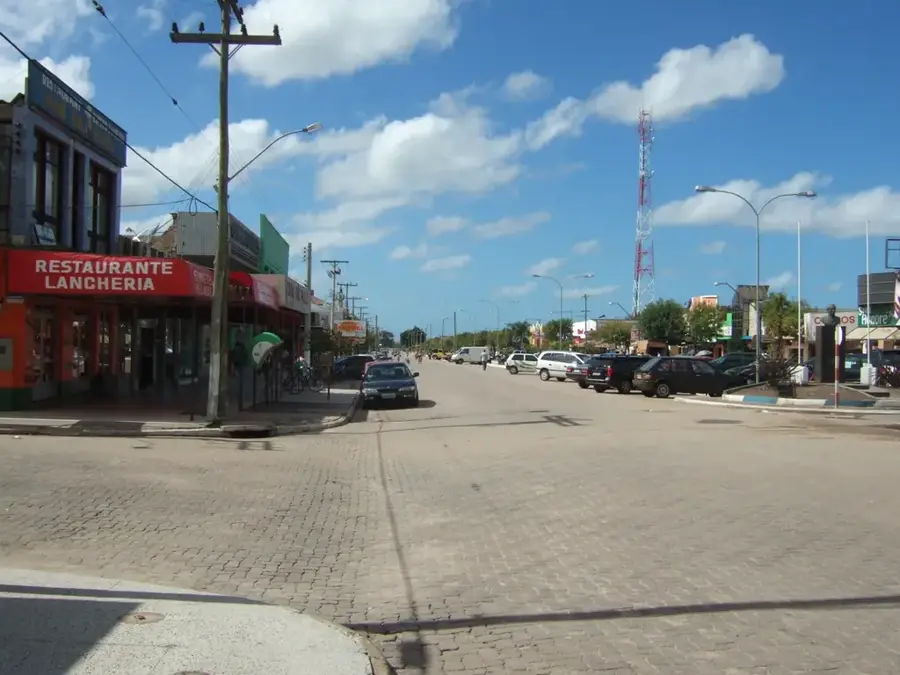
Nearby cities

History & landmarks


Nature
More places