Plizio Visual Lab
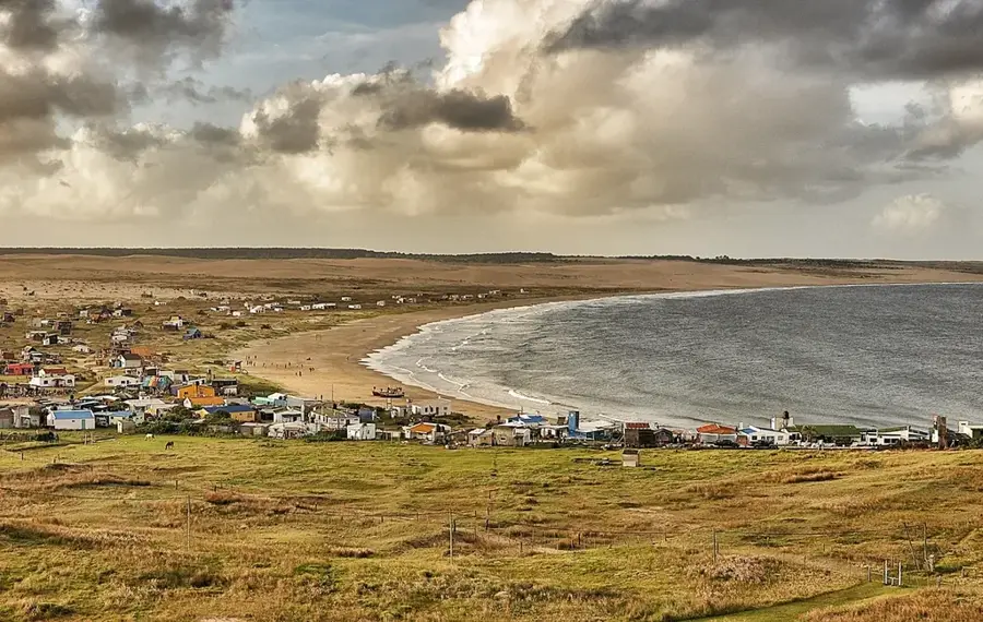
Cerro de la Buena Vista
Weather…
Water temperature…
Cerro de la Buena Vista, meaning 'Hill of the Good View', is an elevation located in the Rivera Department, near the border with Brazil. Its name is apt, as from its summit it provides a wide panoramic view over the hilly landscape of northern Uruguay and the Brazilian 'coxilhas'. The hill reaches an altitude of about 320 meters and is part of the Cuchilla de Santa Ana, another important range in the country's north. Geologically, the region is shaped by the basaltic flows of the Arapey Formation, which have created a distinctive landscape of flat-topped hills (mesas) and deeply incised valleys. This topography is the result of erosional processes acting on the volcanic rocks over millions of years. The vegetation is a mix of 'campos' (grasslands) and subtropical forests. Economically, the region is heavily dependent on cattle ranching but also benefits from forestry and the cross-border trade with the Brazilian city of Santana do Livramento, which forms a twin city with Rivera.
- Location: Uruguay
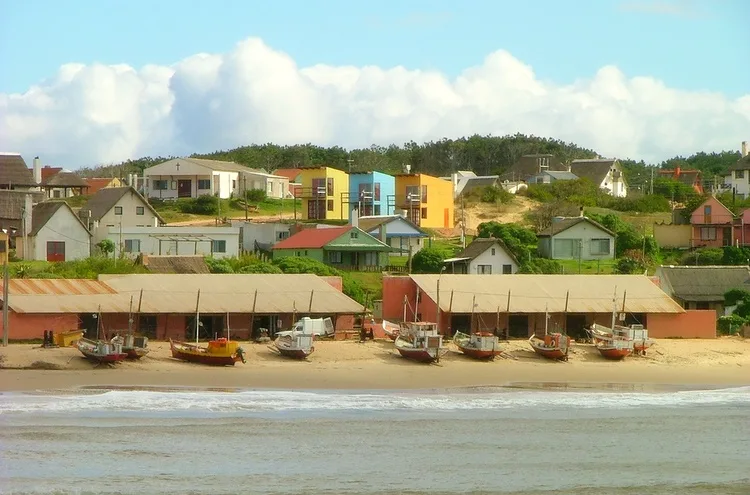
- Nearby: Valizas (16 km)
Best time to visit & climate
The most pleasant time to visit is Jan, Mar, Dec.
| Jan | Feb | Mar | Apr | May | Jun | Jul | Aug | Sep | Oct | Nov | Dec | |
|---|---|---|---|---|---|---|---|---|---|---|---|---|
| Avg °C | 22 | 22 | 21 | 19 | 16 | 13 | 11 | 12 | 13 | 15 | 18 | 20 |
| Rain mm | 104 | 125 | 130 | 122 | 117 | 119 | 106 | 127 | 117 | 120 | 92 | 90 |
📋 Practical info
Geography
Facts
- Offers a panoramic view of the Uruguay-Brazil border.
- Has an altitude of approximately 320 meters.
- Located in the Rivera Department.
- Part of the Cuchilla de Santa Ana hill range.
- Its geology is marked by basalt flows from the Cretaceous period.
- The nearby city of Rivera forms an international city with Santana do Livramento (Brazil).
Explore nearby
Notable places around
Route planner — Car & Motorhome
Where do you start? We build the route here, with stops and country notes along the way.
© OpenStreetMap contributors · OpenRouteService
Sights in the town Cerro de la Buena Vista (1)
Sights nearby
Frequently asked questions
Does Cerro de la Buena Vista offer views?
What is the best time of day to visit?
What is the path like?
Are there insects?
Is it safe in the rain?
Cerro de la Buena Vista: where is it located?
Cerro de la Buena Vista: when is the best time to visit?
Cerro de la Buena Vista: why is it worth visiting?

Nearby cities

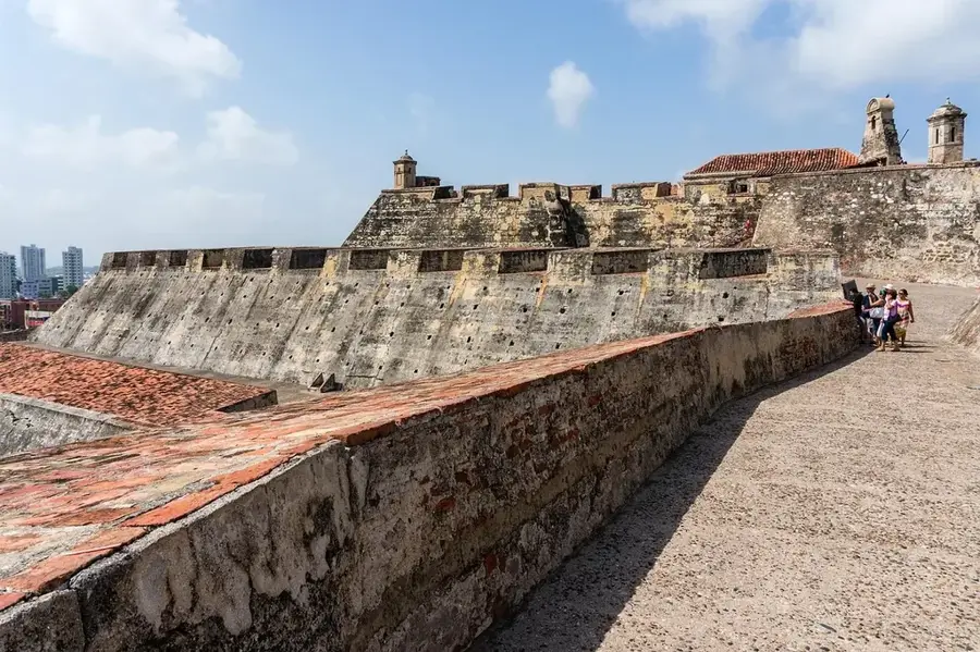
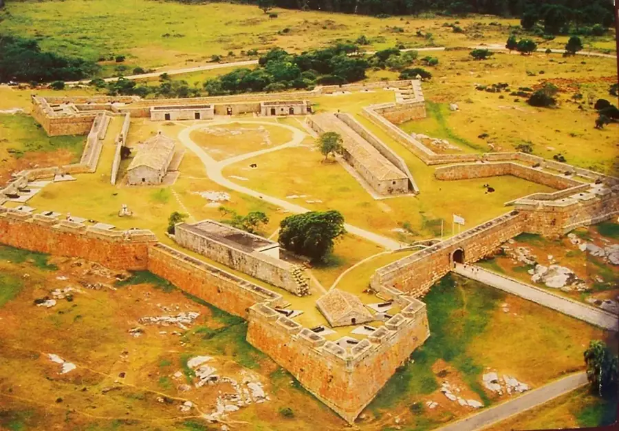
History & landmarks


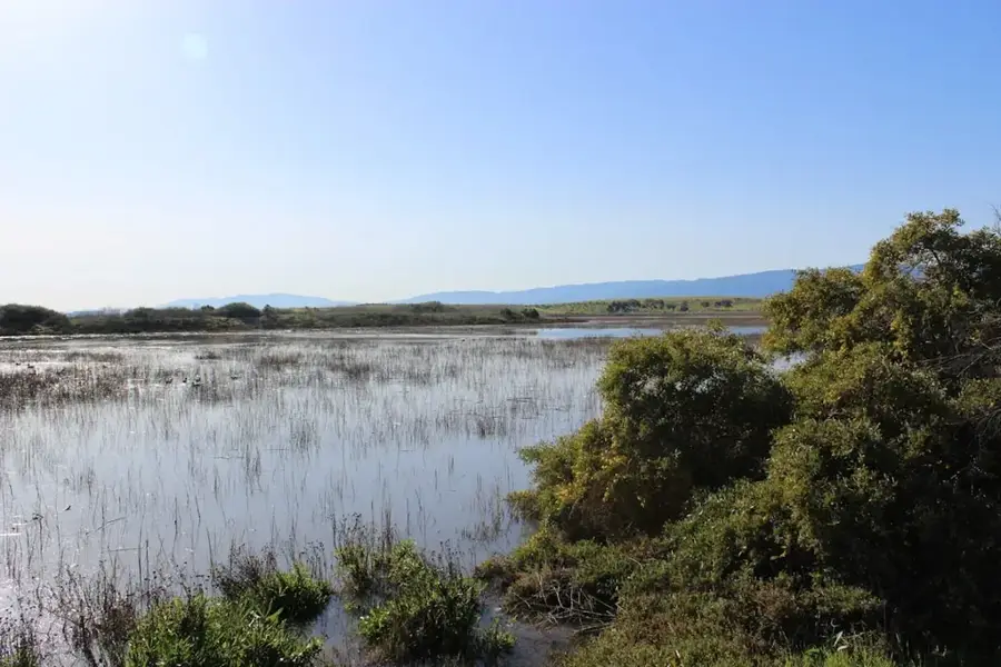
Nature
More places