Plizio Visual Lab
Mohyla Mechetna

Weather…
Water temperature…
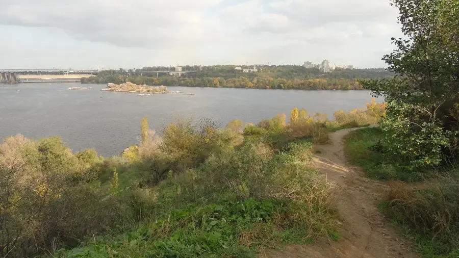
Mohyla Mechetna is the highest point of the Donets Ridge, reaching an elevation of 367 meters above sea level in the Luhansk region of eastern Ukraine. Despite its modest height compared to mountain ranges, it serves as a significant geographical landmark that overlooks the surrounding undulating plains. Geologically, the area is characterized by Carboniferous sedimentary rocks, which have historically made the region vital for coal mining operations. Archaleologically, the site is notable for the presence of ancient burial mounds, known as kurgans, reflecting a history of human settlement dating back thousands of years. The natural vegetation primarily consists of steppe grasses and shrubs, though some areas have been converted for forestry or agriculture. Mohyla Mechetna remains a key reference point for mapping the tectonic and topographic structure of the Donets Basin. Environmental conservation efforts in this industrial heartland are crucial for preserving its unique steppe ecosystems.
- Location: Ukraine
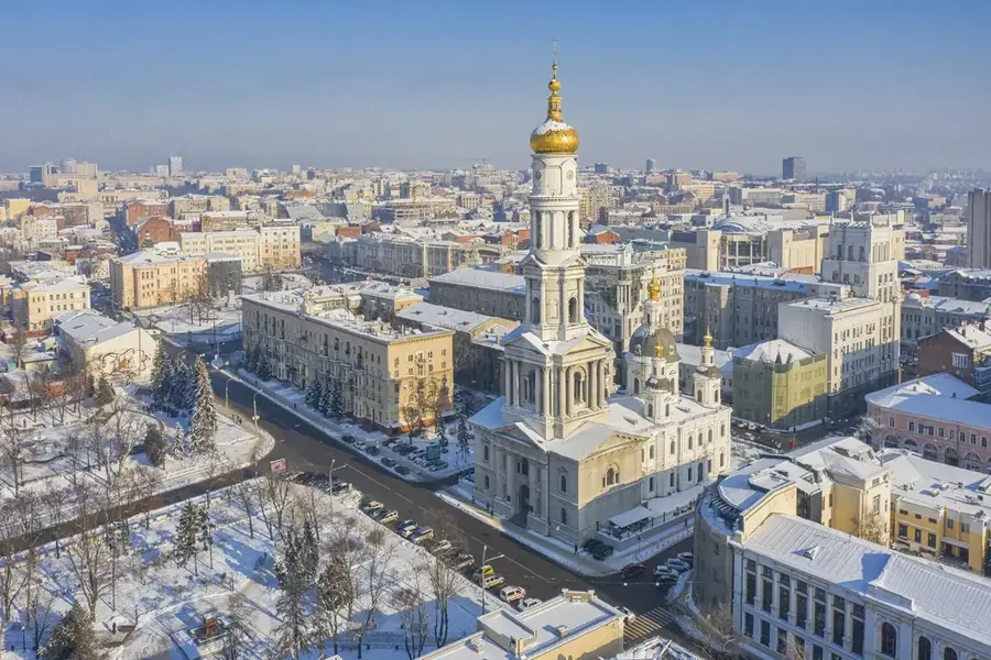
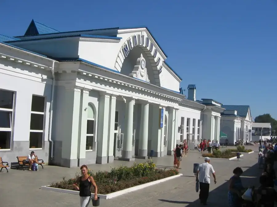
- Nearby: Bokovo-Khrustalne (9 km)
Best time to visit & climate
The most pleasant time to visit is Jun–Aug.
| Jan | Feb | Mar | Apr | May | Jun | Jul | Aug | Sep | Oct | Nov | Dec | |
|---|---|---|---|---|---|---|---|---|---|---|---|---|
| Avg °C | -6 | -5 | 1 | 9 | 16 | 21 | 24 | 23 | 16 | 9 | 2 | -4 |
| Rain mm | 50 | 39 | 40 | 42 | 51 | 59 | 58 | 30 | 39 | 39 | 42 | 47 |
📋 Practical info
Geography
Facts
- Highest peak of the Donets Ridge at 367 meters.
- Located within the Luhansk Oblast region.
- Geologically composed of Carboniferous deposits.
- Primary geographic landmark in the Donets Basin.
- Nearby areas contain ancient kurgan burial mounds.
- The local vegetation is characteristic of forest-steppe.
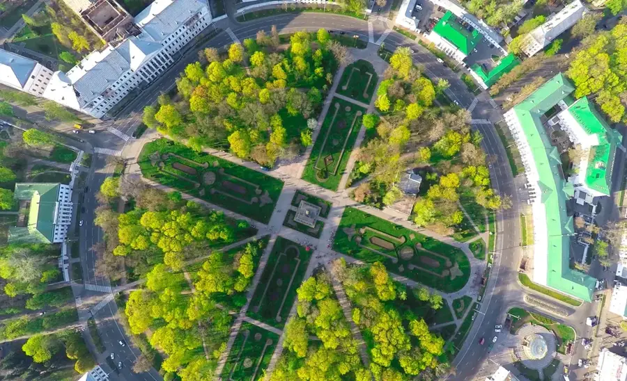
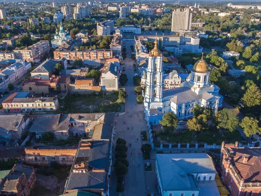
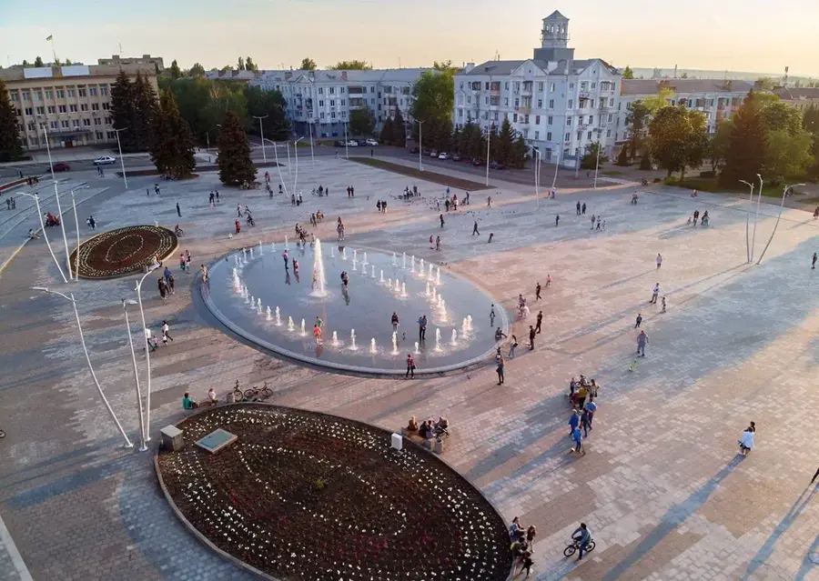
Explore nearby
Notable places around
Route planner — Car & Motorhome
Where do you start? We build the route here, with stops and country notes along the way.
© OpenStreetMap contributors · OpenRouteService
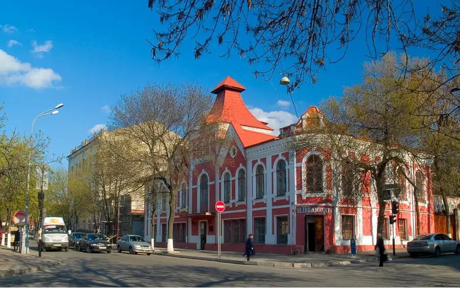
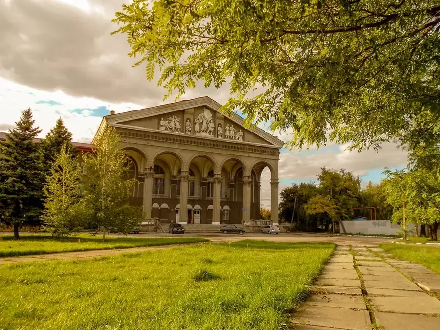
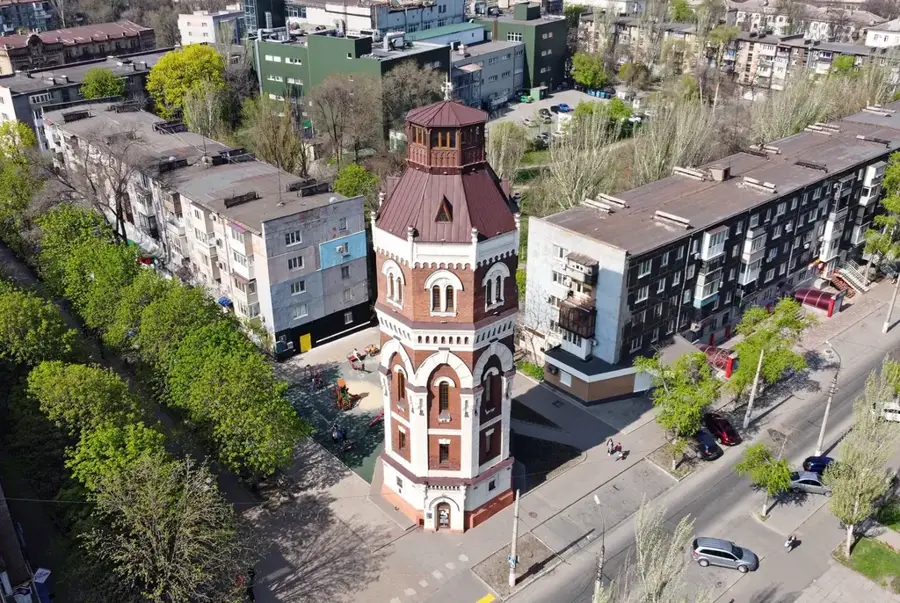
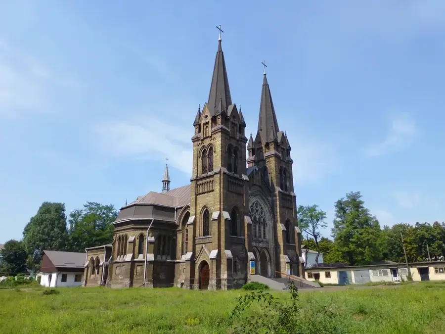
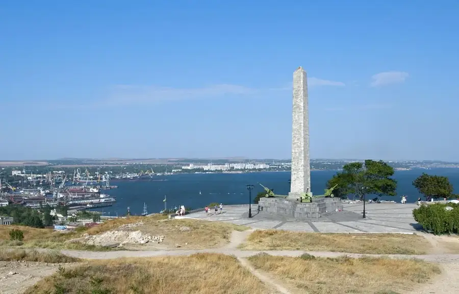
Sights in the town Mohyla Mechetna (1)
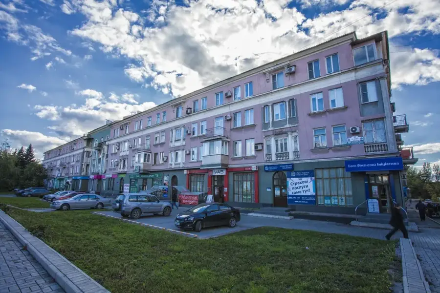
Sights nearby
Frequently asked questions
How high is Mohyla Mechetna?
Where is this peak located?
Is the ascent difficult?
What does the name mean?
Are there archaeological finds there?
Mohyla Mechetna: where is it located?
Mohyla Mechetna: when is the best time to visit?
Mohyla Mechetna: why is it worth visiting?

Nearby cities