Plizio Visual Lab
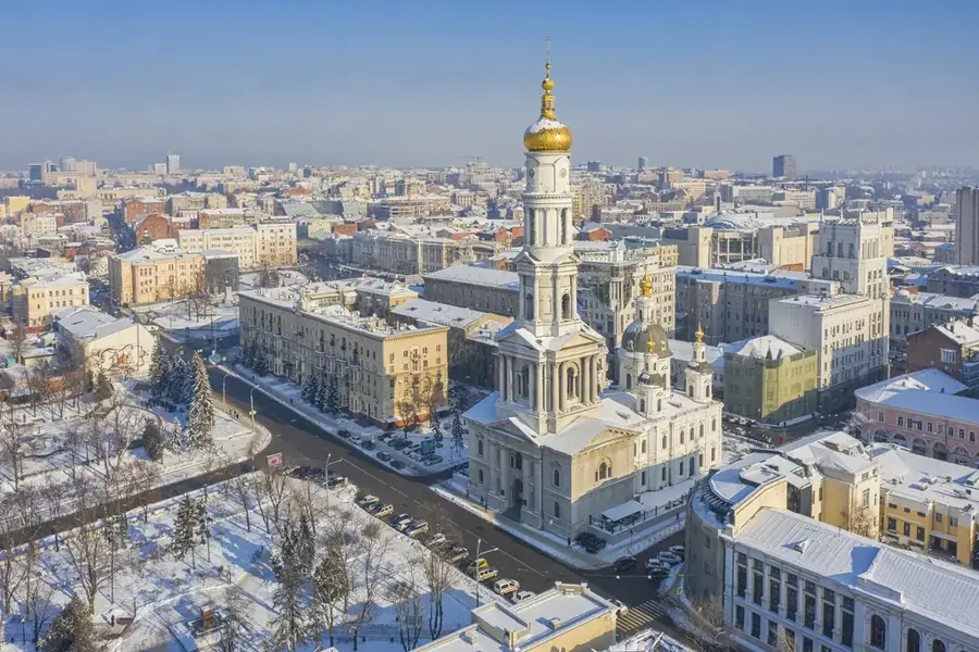
Khrustalnyi
ℹ️Practical info — Khrustalnyi
▾
🌤 Weather — 5 days
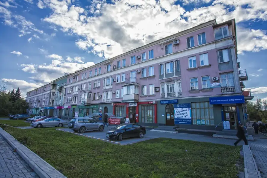
📍 Nearby
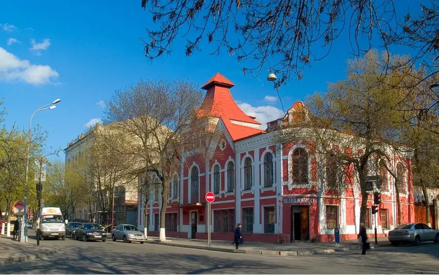
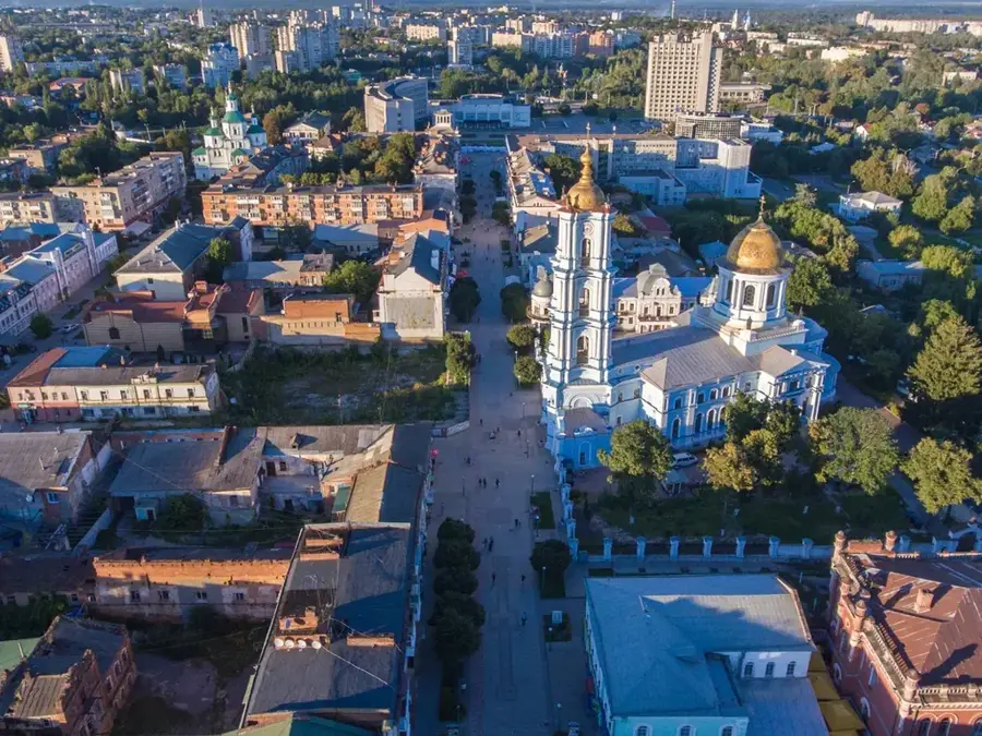
Sights nearby
💡 Tips
- The city's landscape is hilly as it is situated on the Donets Ridge; be prepared for some steep walks.
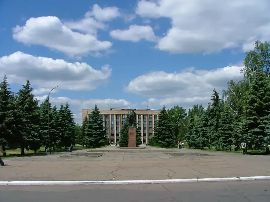
- The local culture is deeply intertwined with coal mining; you will see many monuments dedicated to miners.
- The nearby Miuss-Front memorial is a significant historical site if you are interested in WWII history.
- Public transport and tourist infrastructure can be basic, so plan your routes and accommodations well in advance.
🍽 Food
Hearty meat and potato dishes meant to fuel hard work, served in local canteens.
Baked or fried stuffed buns, excellent for a quick and cheap snack from street vendors.
A common afternoon treat in the small local cafes.
🛍 Shopping · 🧘 Quiet spots
The central spots for commerce, offering fresh food and household goods.
Often sold by local farmers at the markets.
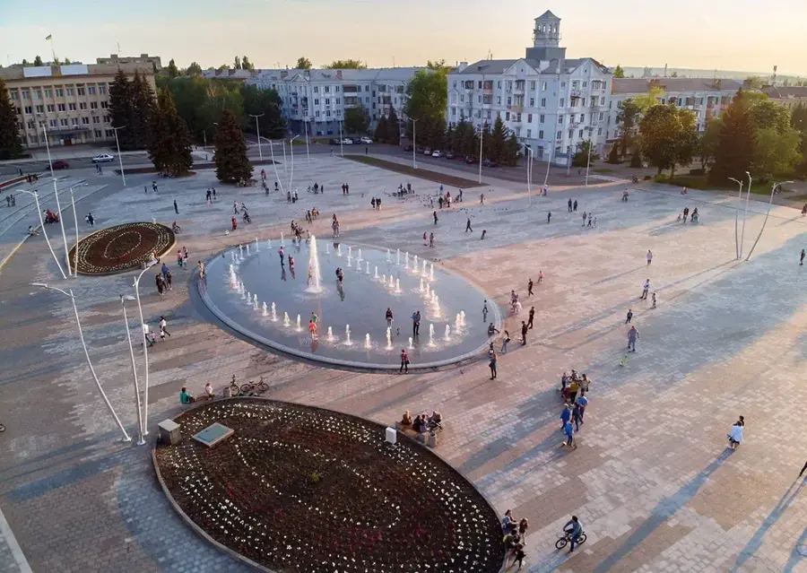
Head to the edge of the city for expansive views of the industrial landscape and rolling hills.
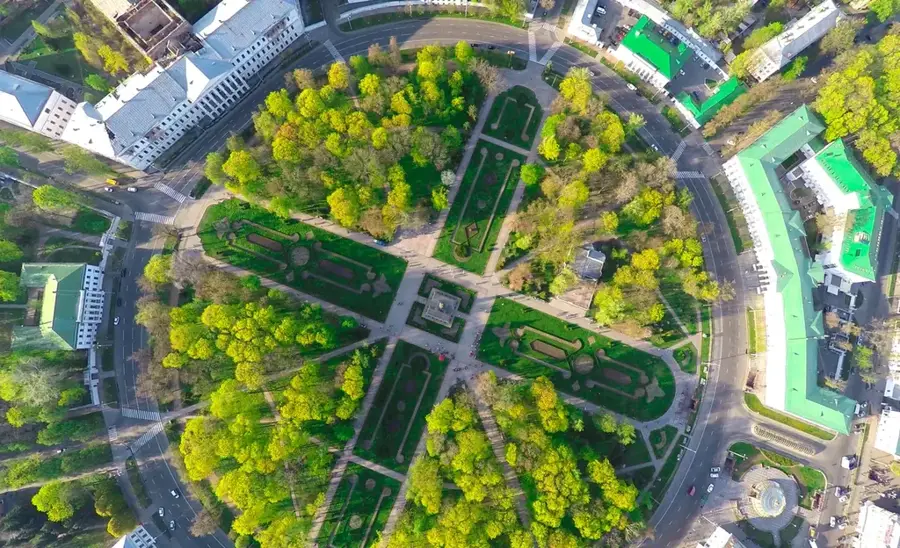
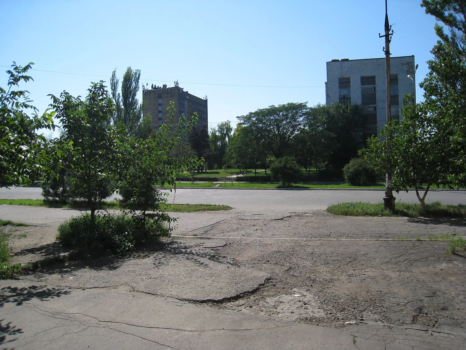
Small, green patches within the neighborhoods providing a quick respite.
Water temperature…
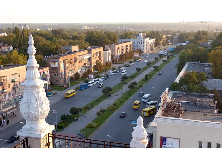
Khrustalnyi, officially known as Krasnyi Luch until 2016, is a major coal-mining city in the Luhansk Oblast of eastern Ukraine. The city was founded in 1895 as the settlement of Krindachivka during the rapid expansion of anthracite mining in the Donets Basin. Its long-standing name, 'Krasnyi Luch' (meaning 'Red Ray'), was adopted in 1920 to align with Soviet revolutionary symbolism. Geographically, it is located on the Donets Ridge, a plateau region characterized by hilly terrain and vast, high-quality coal reserves. Throughout the 20th century, the city's growth and infrastructure were entirely shaped by the mining industry and related heavy manufacturing. The urban landscape is defined by pitheads and slag heaps, yet it also features significant monuments commemorating the mining heritage and the region's role in World War II. As part of Ukraine's decommunization efforts in 2016, the city was renamed Khrustalnyi, derived from the name of a local coal mine.
- Location: Ukraine
- Top sights: Pam'yatnyk Afhantsyam · pamyatnyk pohybshym shakhteram · Pam'yatnyk Chornobyltsyam
- Nearby: Bokovo-Khrustalne (11 km)
- Population: ~79.533
Best time to visit & climate
The most pleasant time to visit is Jun–Aug.
| Jan | Feb | Mar | Apr | May | Jun | Jul | Aug | Sep | Oct | Nov | Dec | |
|---|---|---|---|---|---|---|---|---|---|---|---|---|
| Avg °C | -5 | -4 | 2 | 9 | 16 | 21 | 24 | 23 | 17 | 9 | 2 | -3 |
| Rain mm | 52 | 42 | 40 | 40 | 50 | 57 | 50 | 32 | 36 | 37 | 44 | 48 |
Geography
Facts
- The city was founded in 1895 under the original name of Krindachivka.
- Krasnyi Luch was officially granted city status in 1926.
- It was one of the Soviet Union's most vital centers for anthracite coal production.
- The city is located on the Donets Ridge at an elevation of about 270 meters.
- The Ukrainian parliament officially renamed the city Khrustalnyi in 2016.
- The 'Mius-Front' memorial complex nearby commemorates fierce battles fought in 1943.
Explore nearby
Notable places around
Route planner — Car & Motorhome
Where do you start? We build the route here, with stops and country notes along the way.
© OpenStreetMap contributors · OpenRouteService
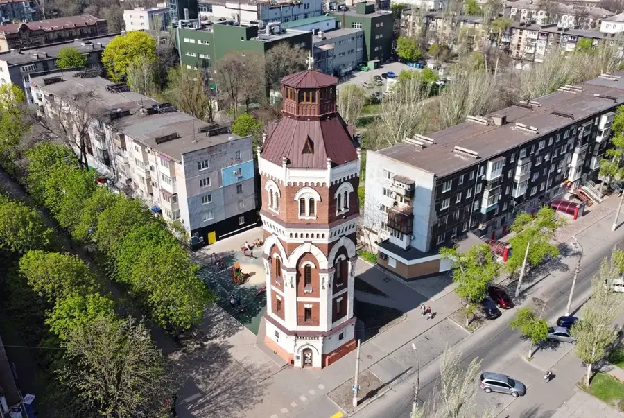
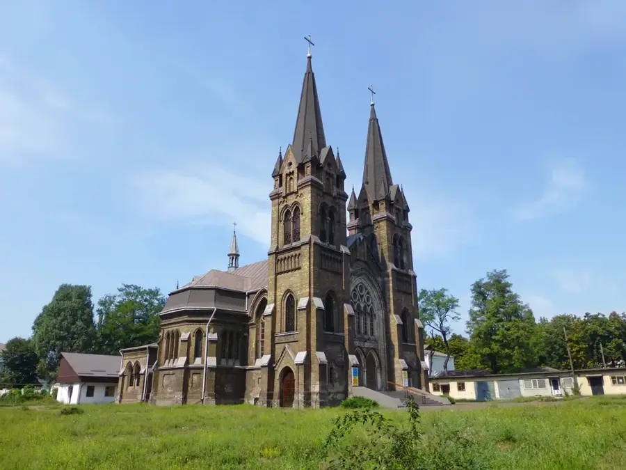
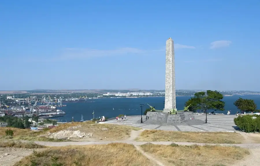
Sights in the town Khrustalnyi (3)
Frequently asked questions
Why is the city now called Chrustalnyj?
What industry defines the city?
Are there monuments for the miners?
Where can you go for a walk?
What are the surroundings like?
Khrustalnyi: where is it located?
Khrustalnyi: what is there to see?
Khrustalnyi: when is the best time to visit?
Khrustalnyi: why is it worth visiting?

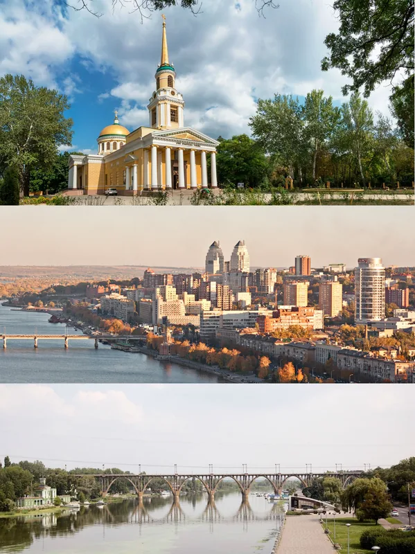
Nearby cities