Plizio Visual Lab
Donets Ridge
Weather…
Water temperature…
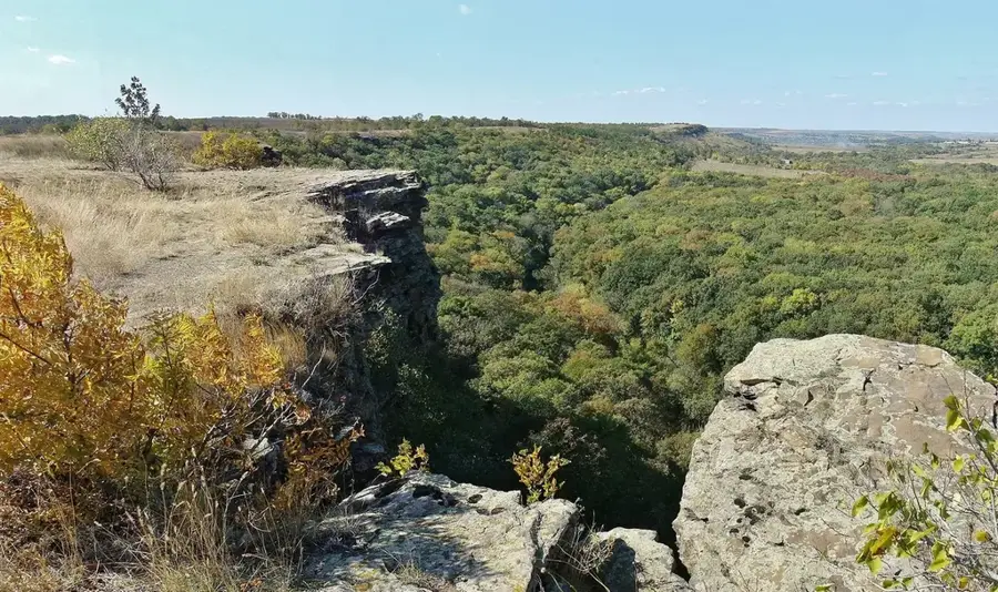
The Donets Ridge is a prominent highland in southeastern Ukraine, serving as the highest elevation within the Donbas region. Geologically, it is a folded structure composed of thick Carboniferous sedimentary strata, renowned for its extensive deposits of coal and anthracite. The average height of the ridge ranges from 200 to 300 meters, with its peak, Mohyla Mechetna, reaching 367 meters above sea level. The landscape is heavily dissected by erosion, creating a complex network of deep river valleys and ravines. A unique feature of the ridge's modern relief is the presence of numerous slag heaps (terrikons), artificial hills created by long-term mining activities that now dot the skyline. The region experiences a continental steppe climate, characterized by hot, dry summers and cold winters. Despite its heavy industrialization, the ridge hosts several nature reserves that protect original steppe ecosystems and sandstone rock formations. Historically, the area has been a vital corridor for nomadic tribes, as evidenced by the high density of ancient burial mounds, known as kurgans, found across the plateau.
- Location: Ukraine
- Nearby: Khrustalnyi (14 km)
Best time to visit & climate
The most pleasant time to visit is Jun–Aug.
| Jan | Feb | Mar | Apr | May | Jun | Jul | Aug | Sep | Oct | Nov | Dec | |
|---|---|---|---|---|---|---|---|---|---|---|---|---|
| Avg °C | -5 | -4 | 2 | 9 | 16 | 21 | 24 | 23 | 17 | 9 | 2 | -3 |
| Rain mm | 52 | 42 | 40 | 40 | 50 | 57 | 50 | 32 | 36 | 37 | 44 | 48 |
📋 Practical info
Geography
Facts
- The highest elevation is Mohyla Mechetna at 367 meters.
- Core region for Ukraine's coal and anthracite mining.
- Composed of sedimentary rocks from the Carboniferous period.
- Features over 500 artificial mining waste heaps (terrikons).
- Characterized by a continental steppe climate with dry summers.
- Dotted with numerous ancient burial mounds known as kurgans.
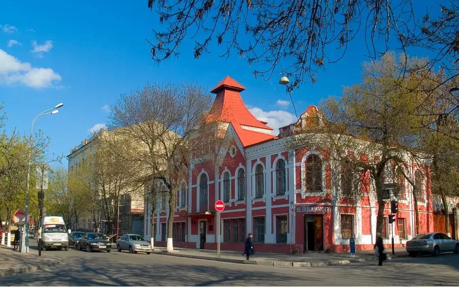
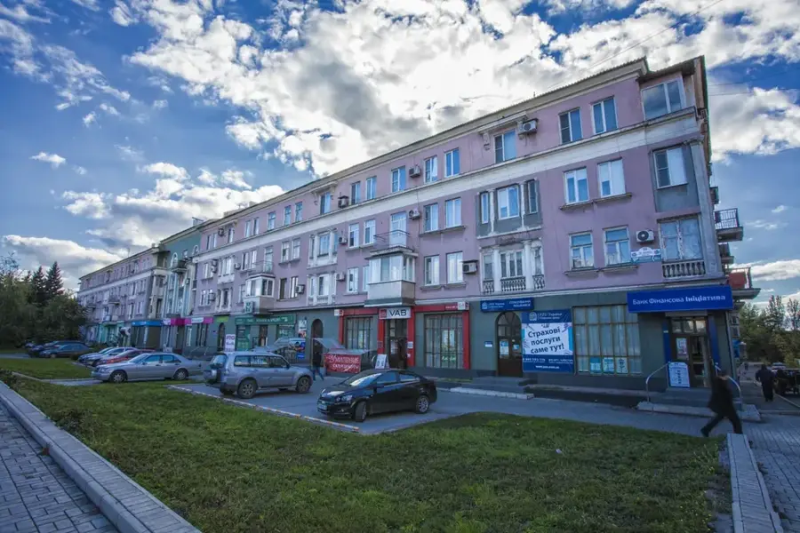
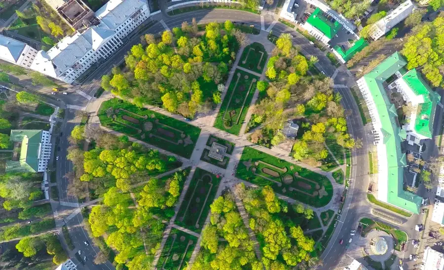
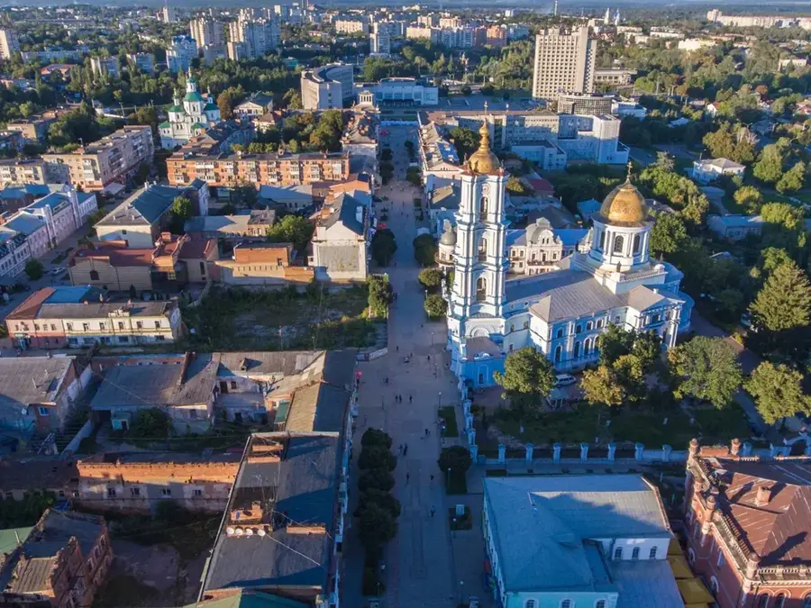
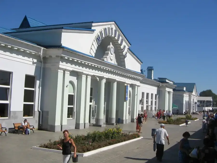
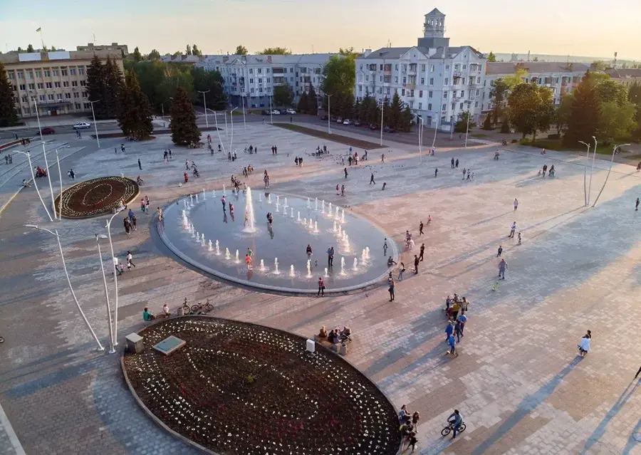
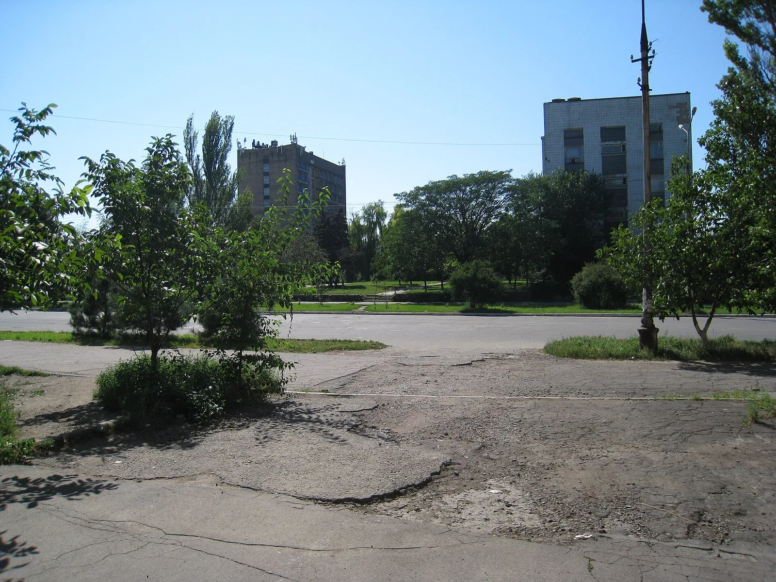
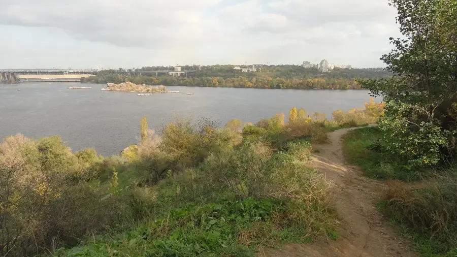
Explore nearby
Notable places around
Route planner — Car & Motorhome
Where do you start? We build the route here, with stops and country notes along the way.
© OpenStreetMap contributors · OpenRouteService
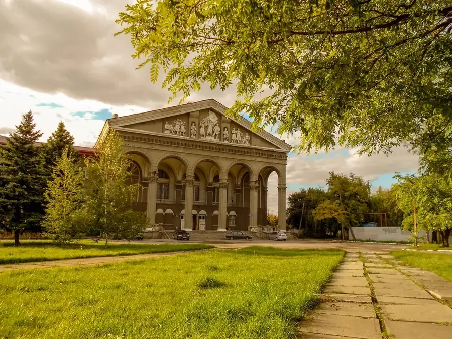
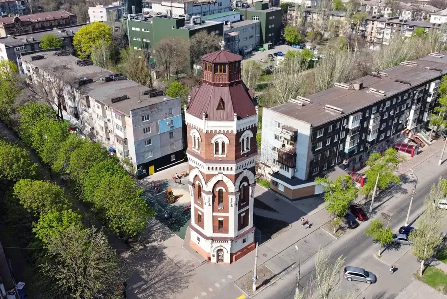
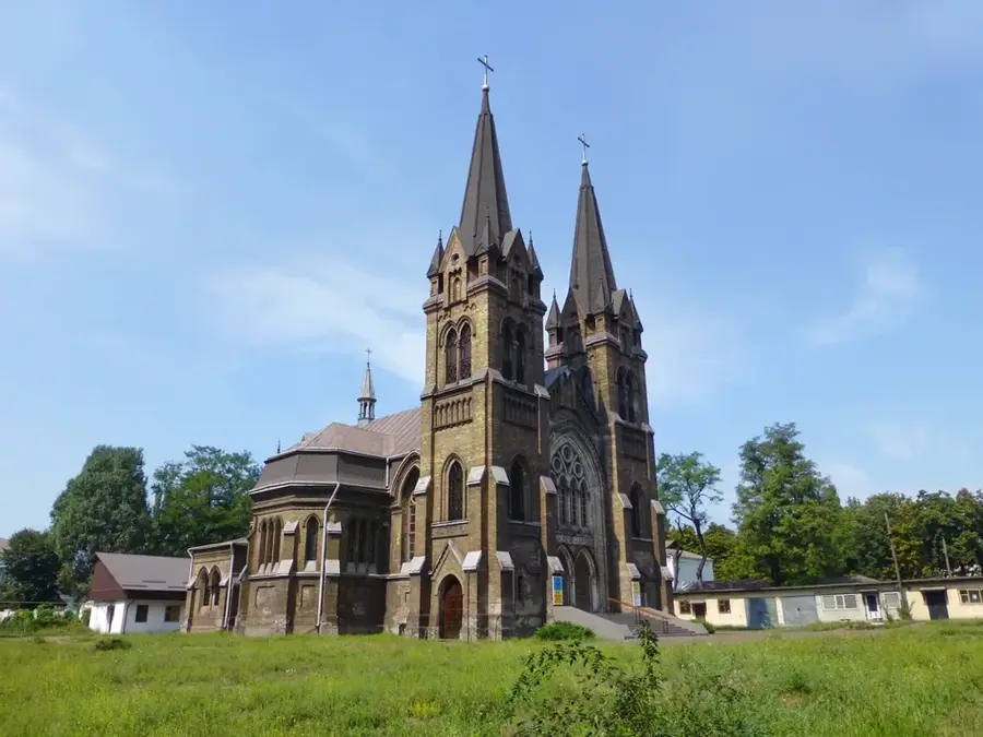
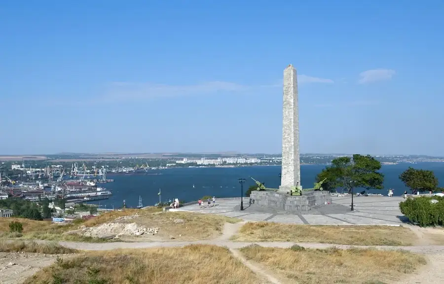
Sights nearby
Frequently asked questions
Where is the Donets Ridge located?
How high is the highest point?
What is the economic importance of the region?
What are 'terrikony'?
How is the climate there?
Donets Ridge: where is it located?
Donets Ridge: when is the best time to visit?
Donets Ridge: why is it worth visiting?

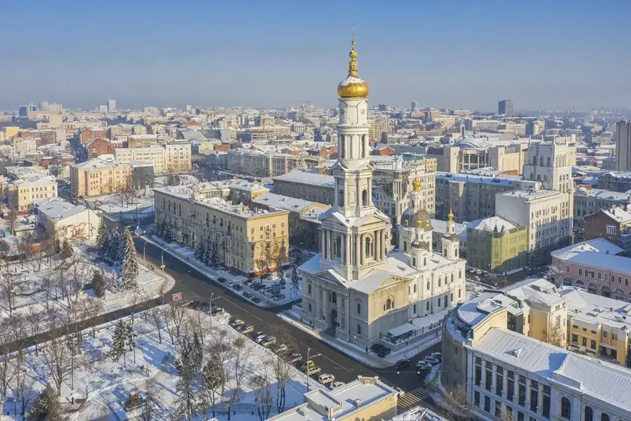
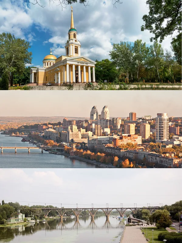
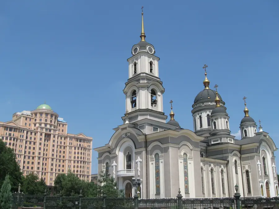
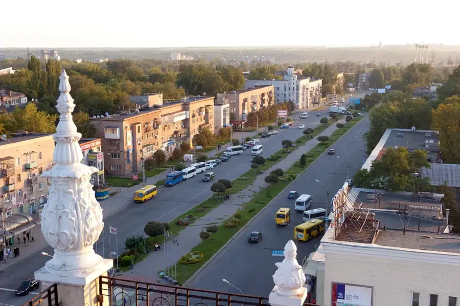
Nearby cities