Plizio Visual Lab
Kadiivka
ℹ️Practical info — Kadiivka
▾
🌤 Weather — 5 days
📍 Nearby
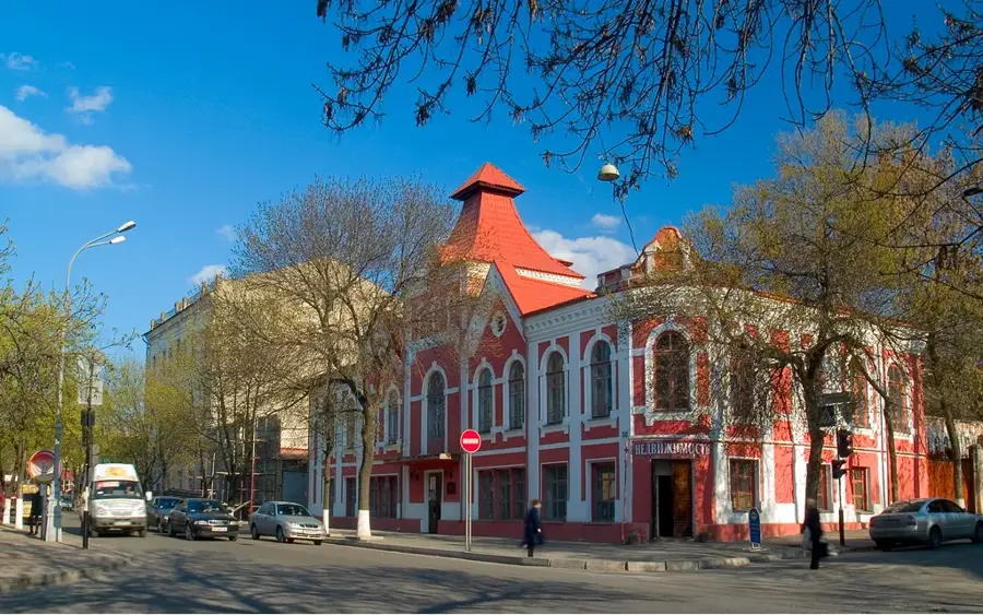
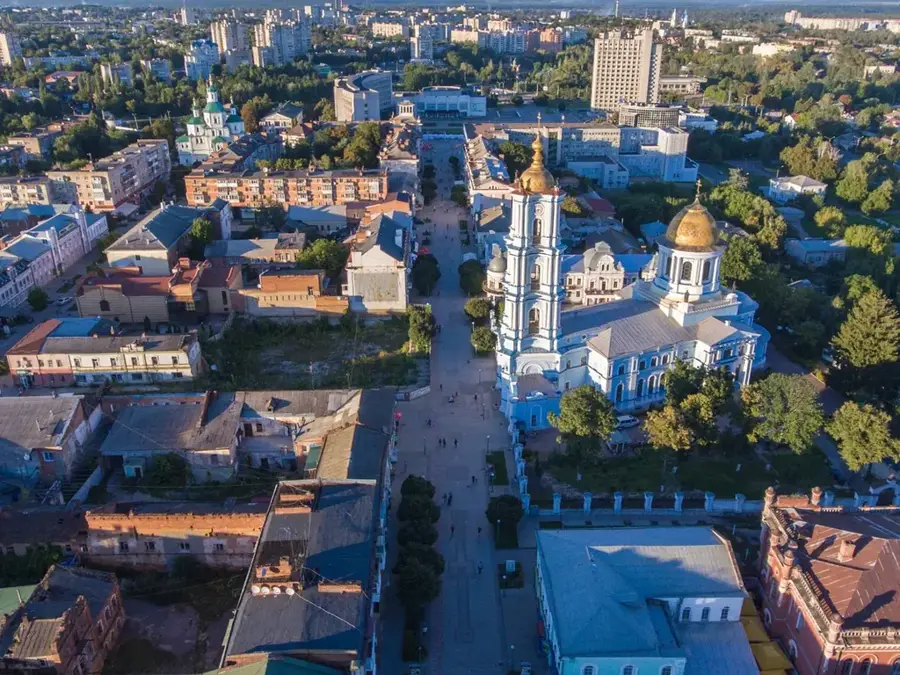
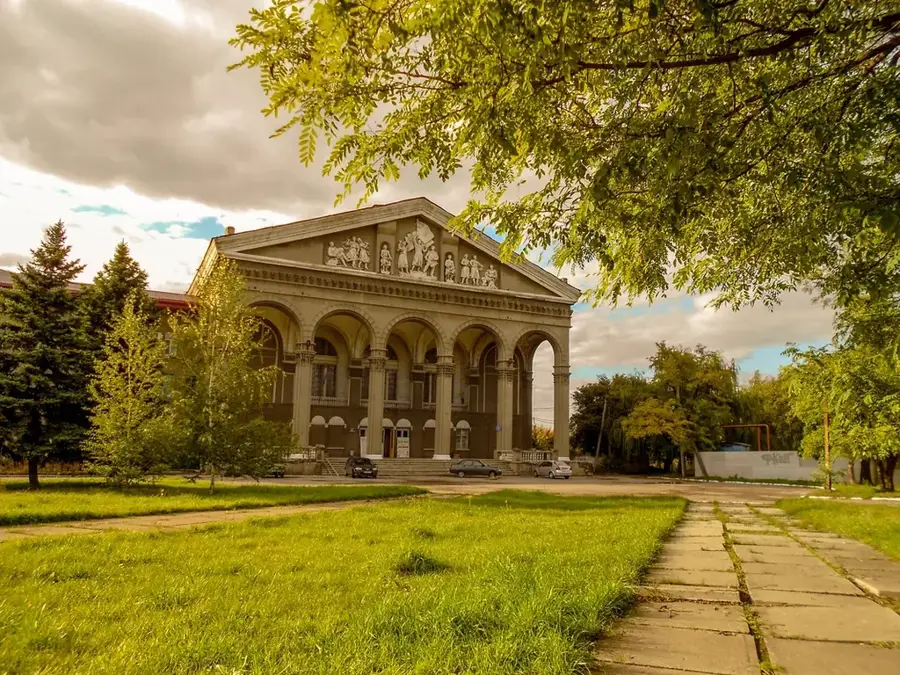
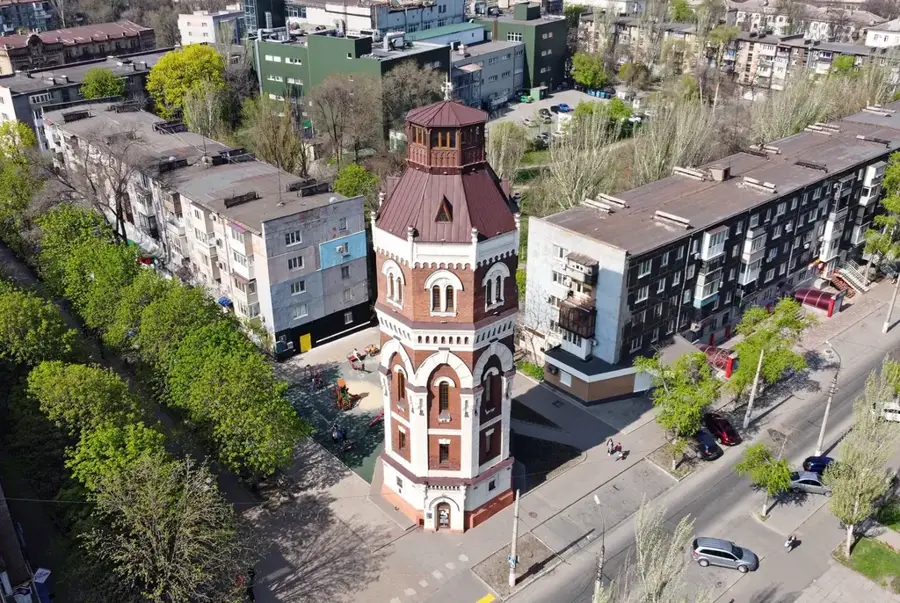
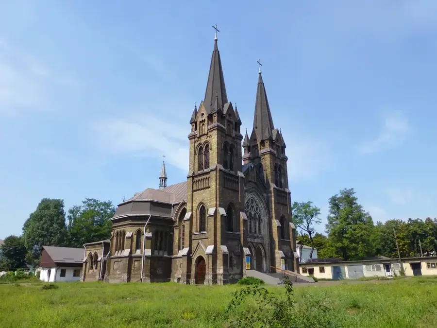
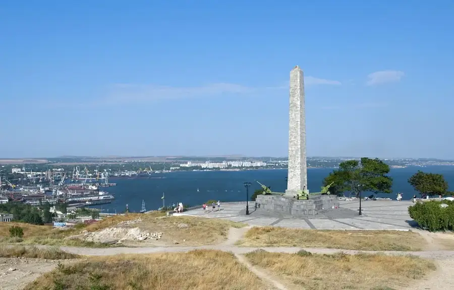
Sights nearby
💡 Tips
- The city's history is deeply tied to the Stakhanovite movement; historical monuments reflect this industrial past.
- Public transport is mainly by bus and marshrutka; check local schedules as they may vary.
- Summers can be quite hot, so bring water if walking around the industrial heritage sites.
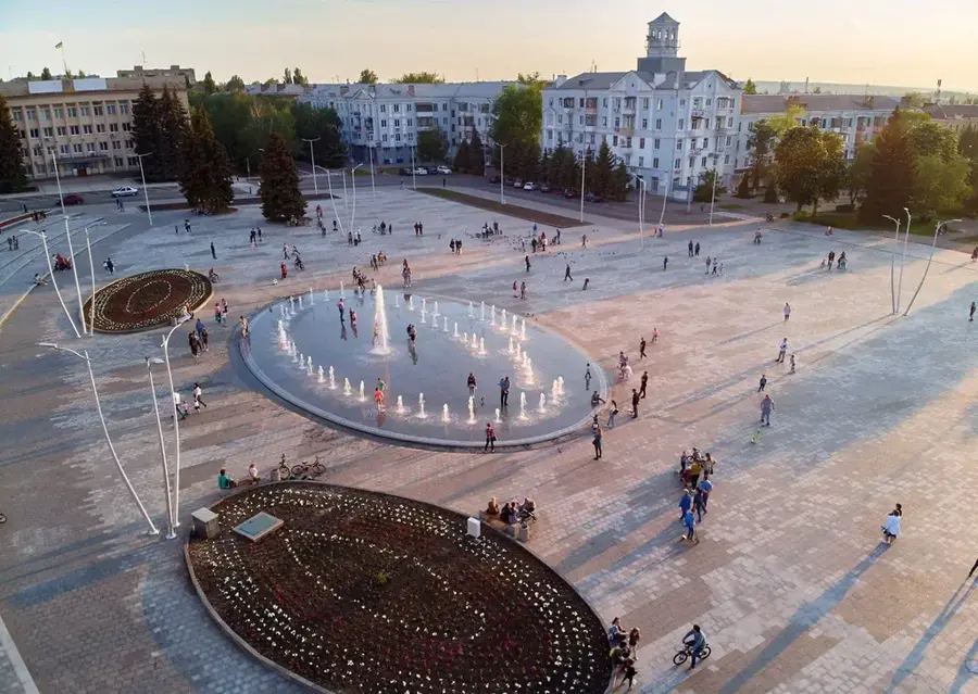
- The central square and adjacent parks are the main hubs for local gatherings.
🍽 Food
A hearty local variant of the classic soup, usually served with pampushky (garlic bread).
Traditional minced meat patties, often found in local canteens or traditional eateries.
Fried quark pancakes, a popular and comforting breakfast option in local cafes.
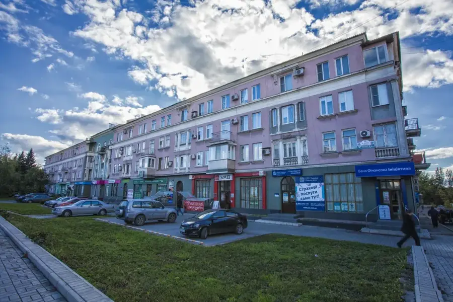
🛍 Shopping · 🧘 Quiet spots
The place to find fresh vegetables, fruits, and daily necessities from surrounding farms.
A staple of the region; locally produced unrefined sunflower oil is highly aromatic.
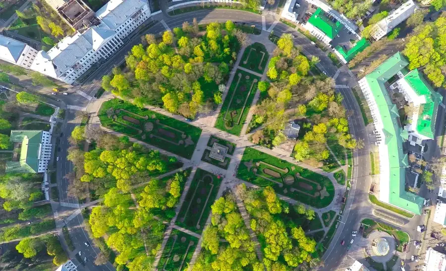
A traditional green park offering a quiet escape from the urban and industrial surroundings.
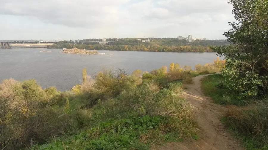
Small ponds on the outskirts provide a calm atmosphere for a short walk.
Water temperature…
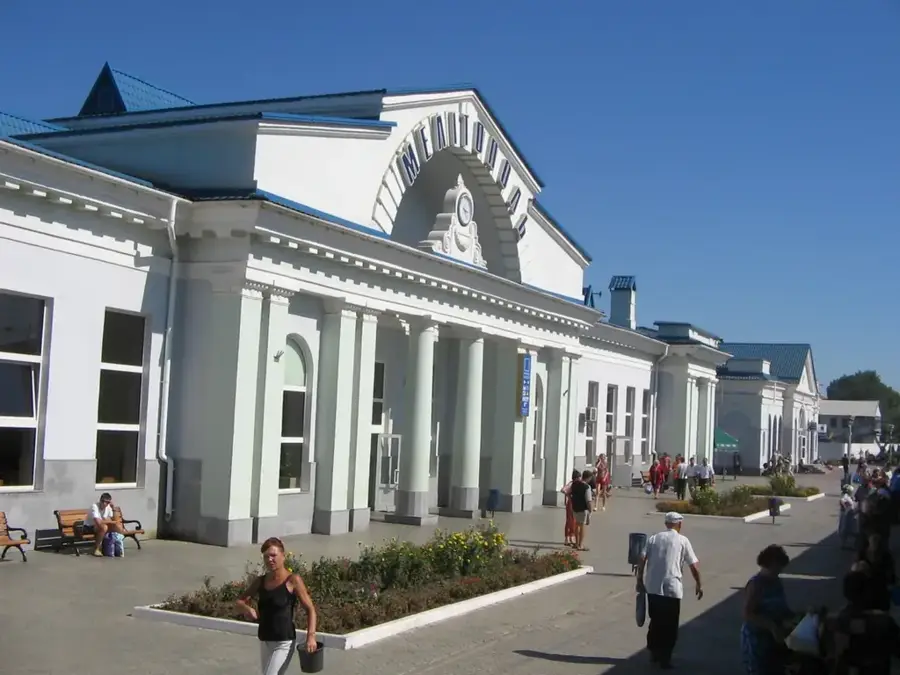
Kadiivka, formerly known as Stakhanov, is a city in Luhansk Oblast, eastern Ukraine. Founded in the 1820s, it grew rapidly in the 20th century as a coal mining hub in the Donbas region. During Soviet times, the city housed several coal mines, a coking plant, and machinery factories, making it a major industrial center. Its population peaked at around 100,000 in the 1970s but has since declined due to economic restructuring and the conflict that began in 2014. Kadiivka is currently under de facto control of the Luhansk People's Republic. The city lies on the railway line connecting Debaltseve and Millerovo, facilitating transport of coal and goods. The surrounding landscape is predominantly steppe, used for agriculture. The war has caused significant damage to housing and infrastructure. Many industrial enterprises are now idle or operating at reduced capacity.
- Location: Ukraine
- Nearby: Sokolohirsk (Dovzhansk) (11 km)
- Population: ~73.248
Best time to visit & climate
The most pleasant time to visit is Jun–Aug.
| Jan | Feb | Mar | Apr | May | Jun | Jul | Aug | Sep | Oct | Nov | Dec | |
|---|---|---|---|---|---|---|---|---|---|---|---|---|
| Avg °C | -6 | -5 | 1 | 9 | 16 | 21 | 24 | 23 | 16 | 9 | 2 | -4 |
| Rain mm | 50 | 39 | 40 | 42 | 51 | 59 | 58 | 30 | 39 | 39 | 42 | 47 |
Geography
Facts
- Kadiivka was first mentioned in historical records in 1825.
- The city covers an area of 91 square kilometers.
- As of 2021, the estimated population was 72,000.
- The highest population recorded was 108,000 in 1977.
- Kadiivka is located at an elevation of 200 meters above sea level.
- The Kadiivka coking plant was opened in 1932.
Explore nearby
Notable places around
Route planner — Car & Motorhome
Where do you start? We build the route here, with stops and country notes along the way.
© OpenStreetMap contributors · OpenRouteService
Frequently asked questions
Is Kadiivka safe for tourists?
What was the city known for in the past?
What is the climate like in Kadiivka?
Are there museums there?
How far is it from Luhansk?
Kadiivka: where is it located?
Kadiivka: when is the best time to visit?
Kadiivka: why is it worth visiting?

Nearby cities