Plizio Visual Lab
Dnieper Upland
Weather…
Water temperature…
The Dnieper Upland is an extensive highland region in central Ukraine, situated between the middle reaches of the Dnieper River to the east and the Southern Bug River to the west. It is geologically anchored by the Ukrainian Shield, with ancient crystalline basement rocks such as granite and gneiss frequently outcropping along river valleys. The upland features an average elevation of 220-240 meters, with its highest point reaching approximately 323 meters. Its surface is characterized by a dissected landscape of rolling hills, river valleys, and gullies, shaped by long-term erosional processes. Major rivers like the Ros, Tyasmyn, and Inhulets flow through this territory, often forming rocky banks and rapids. The predominant soil type is fertile black earth (chernozem), which has led to the region becoming a primary agricultural zone for wheat, corn, and sunflower cultivation. The climate is temperate continental, providing favorable conditions for both agriculture and the original forest-steppe vegetation. While much of the land is now cultivated, significant pockets of deciduous forests still exist, particularly on the steeper slopes and near waterways.
- Location: Ukraine
- Nearby: Bahacheve (8 km)
Best time to visit & climate
The most pleasant time to visit is Jun–Aug.
| Jan | Feb | Mar | Apr | May | Jun | Jul | Aug | Sep | Oct | Nov | Dec | |
|---|---|---|---|---|---|---|---|---|---|---|---|---|
| Avg °C | -6 | -4 | 2 | 9 | 16 | 20 | 23 | 22 | 16 | 9 | 2 | -3 |
| Rain mm | 43 | 38 | 39 | 36 | 58 | 73 | 57 | 34 | 48 | 42 | 41 | 43 |
📋 Practical info
Geography
Facts
- Average elevation sits between 220 and 240 meters.
- The highest peak reaches an elevation of 323 meters.
- Underlain by the crystalline rocks of the Ukrainian Shield.
- Granite and gneiss outcrops are frequently visible in valleys.
- Features some of the most fertile black earth soils in Ukraine.
- Serves as a watershed between the Dnieper and Southern Bug.
Explore nearby
Notable places around
Route planner — Car & Motorhome
Where do you start? We build the route here, with stops and country notes along the way.
© OpenStreetMap contributors · OpenRouteService
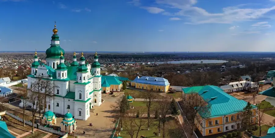
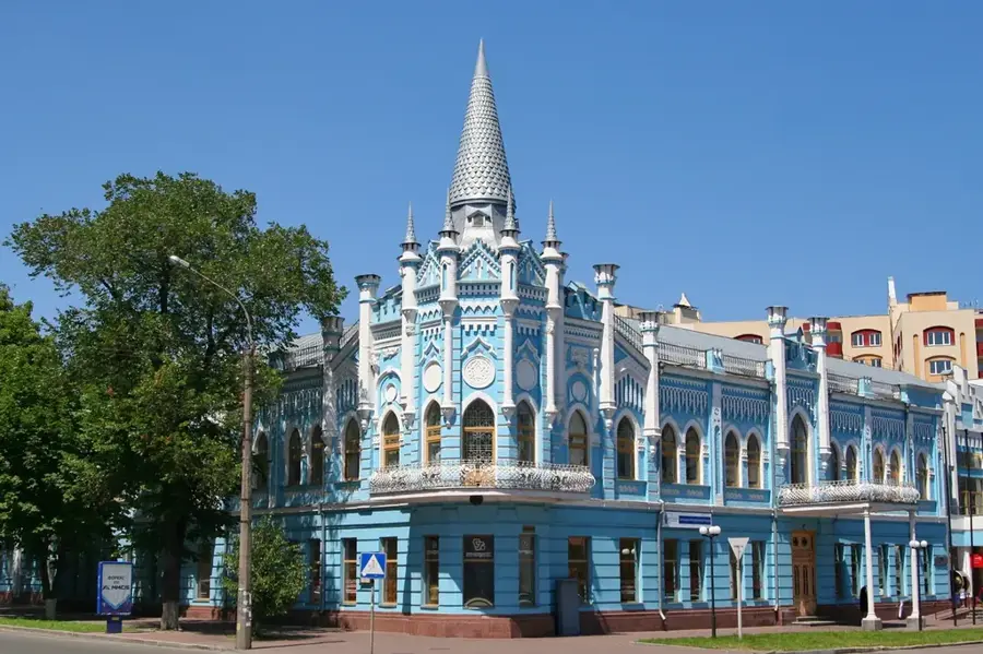
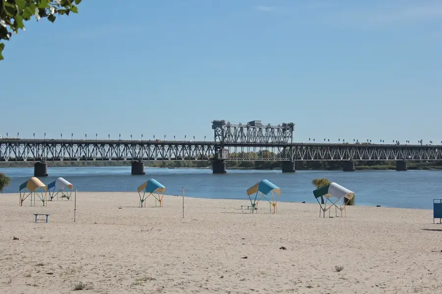
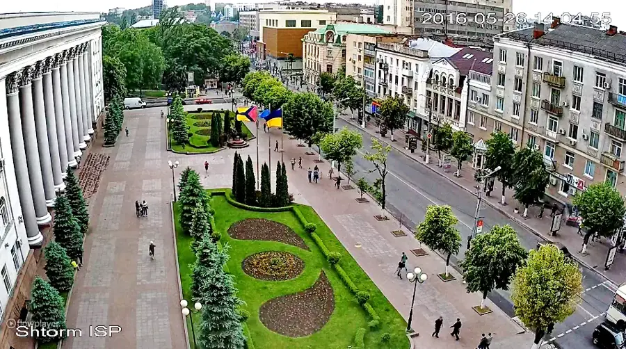
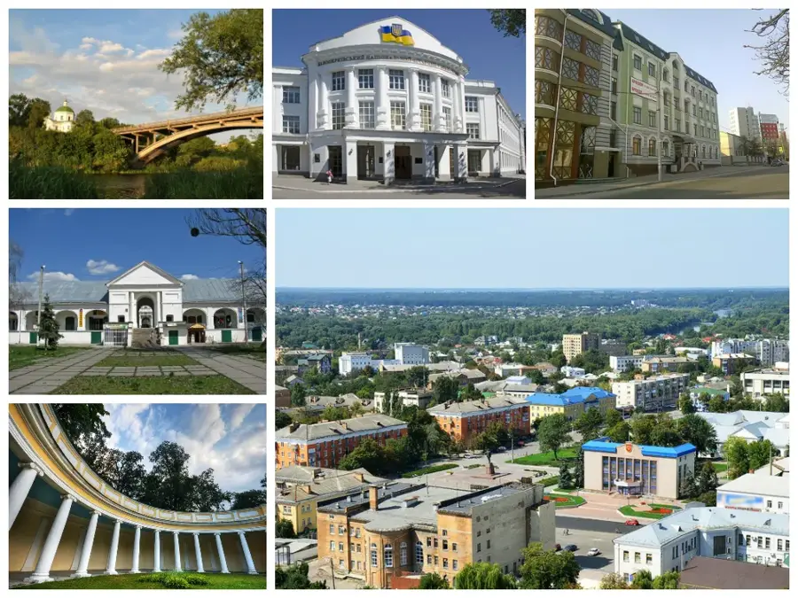
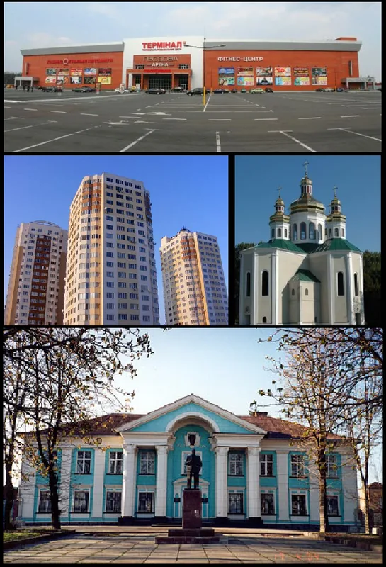
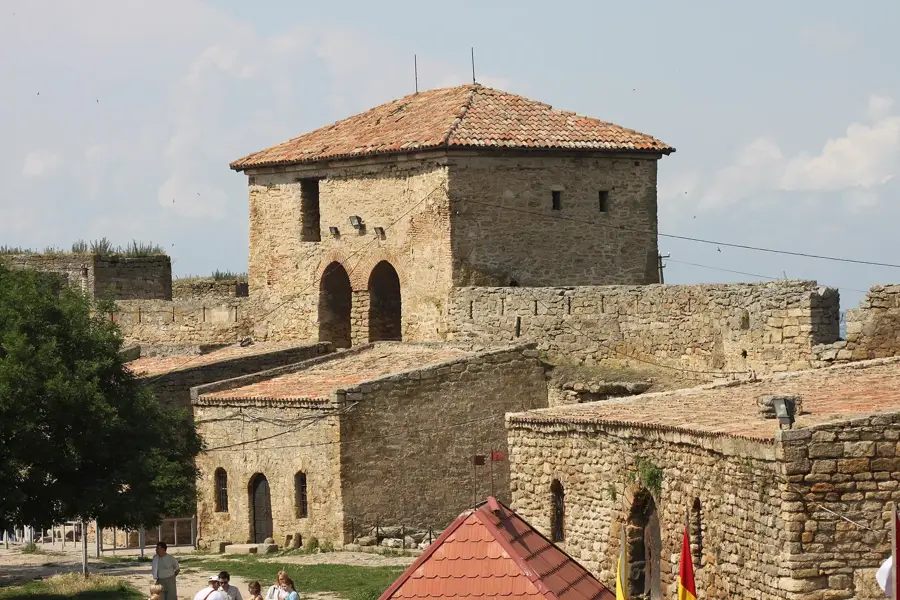
Sights in the town Dnieper Upland (1)
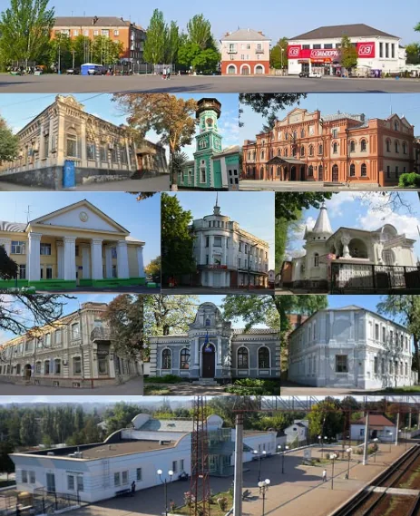
Sights nearby
Frequently asked questions
Where is the Dnieper Upland located?
What is the highest elevation?
How is the landscape?
What mineral resources are there?
What vegetation predominates?
Dnieper Upland: where is it located?
Dnieper Upland: when is the best time to visit?
Dnieper Upland: why is it worth visiting?

Nearby cities