Plizio Visual Lab
Kajo Keji
ℹ️Practical info — Kajo Keji
▾
🌤 Weather — 5 days
📍 Nearby
Sights nearby
💡 Tips
- A sturdy 4x4 vehicle is highly recommended, as dirt roads become very difficult during the rainy season.
- Bring a reliable power bank to keep your devices charged, as electricity outages are frequent.
- Carry enough cash in South Sudanese Pounds, as ATMs are practically non-existent in the area.
- Ensure all your documents are in order if you are planning to cross or visit the nearby Ugandan border.
🍽 Food
A filling staple food that is best tried in the small, informal local eateries.
A rich peanut-based sauce served with meat or fish, commonly found in traditional kitchens.
Buy sweet mangoes and bananas directly from the street vendors for a fresh snack.
🛍 Shopping · 🧘 Quiet spots
The prime spot to buy fresh agricultural produce and observe daily town life.
Look out for woven baskets and simple woodwork brought in by artisans from surrounding villages.
Walk towards the lush, green outskirts of town to escape the dust and find some peace.
Outside of term time or school hours, these spacious grounds offer a surprisingly quiet retreat.
Water temperature…
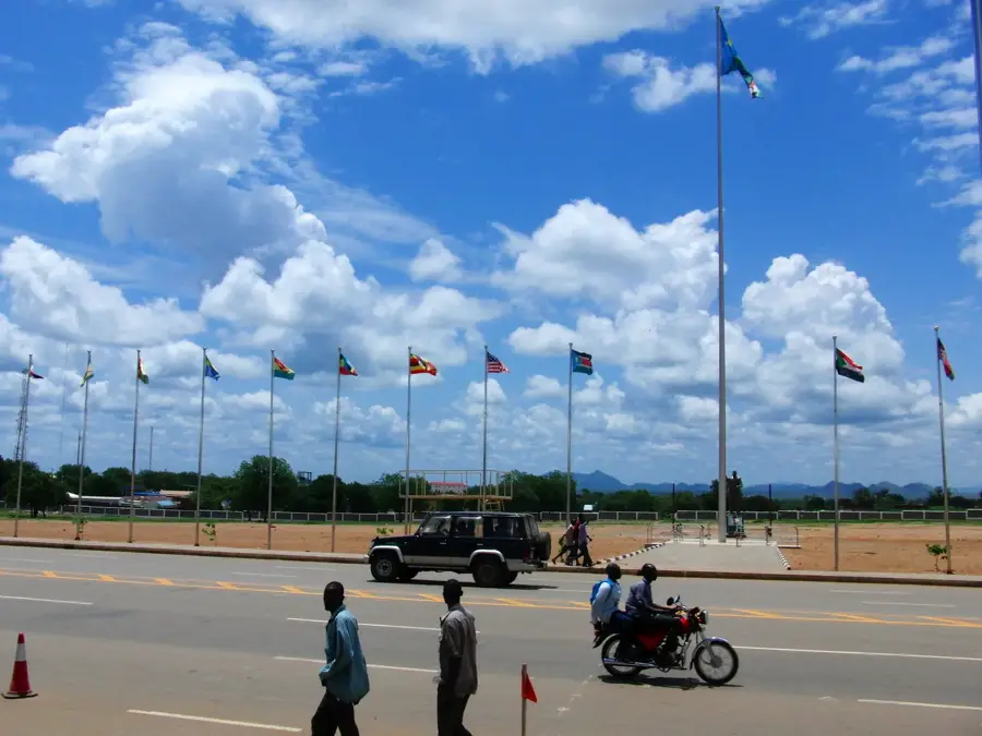
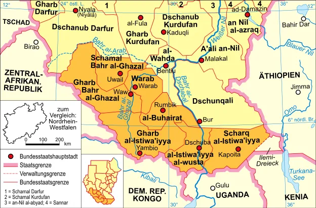
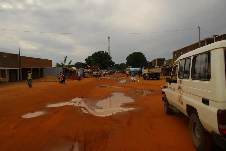
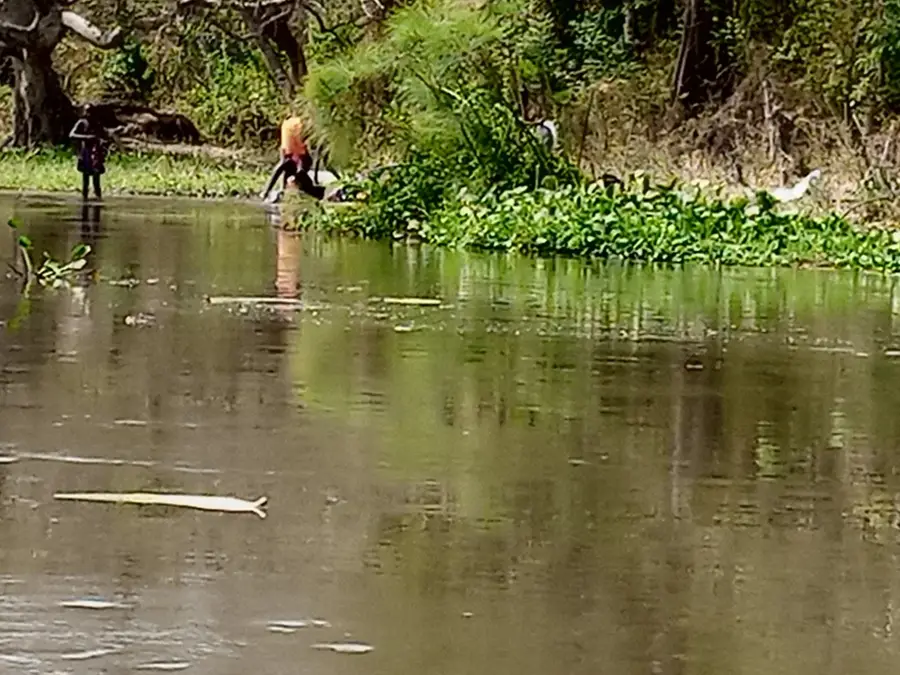
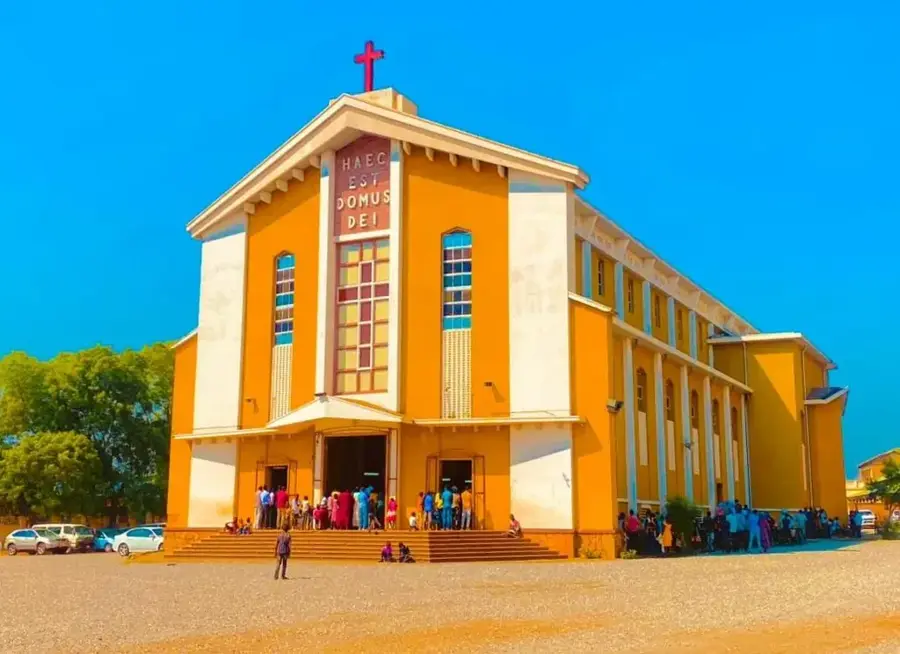
Kajo Keji is a town in Central Equatoria State in the far south of South Sudan, near the Ugandan border. The town is situated on a fertile plateau traditionally known for its agriculture and livestock ranching, with coffee and grains being among its key products. Historically, Kajo Keji was shaped in the early 20th century by Christian missionaries, making it a significant educational and religious center. The population predominantly belongs to the Kuku ethnic group. During various civil wars, the town was severely affected, leading to massive displacement into Uganda; however, many residents have been returning since the peace agreement. Today, Kajo Keji is in the process of reconstruction, aiming to regain its role as a commercial link between Juba and northern Uganda. The scenic surroundings with green hills offer great potential for agricultural development.
- Location: South Sudan
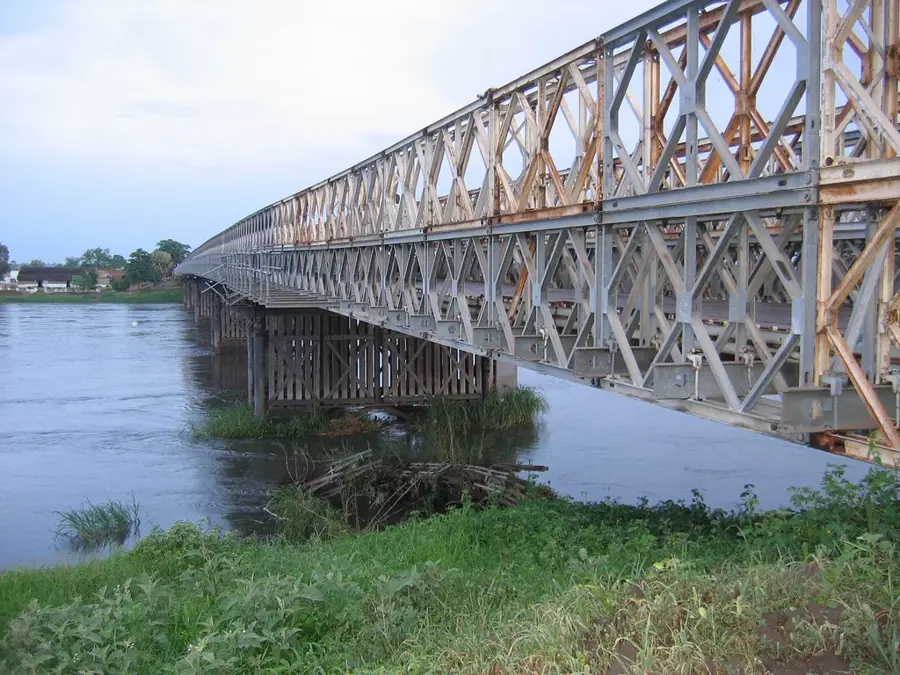
- Nearby: Fula Rapids (38 km)
Best time to visit & climate
The most pleasant time to visit is Jan, Nov, Dec.
| Jan | Feb | Mar | Apr | May | Jun | Jul | Aug | Sep | Oct | Nov | Dec | |
|---|---|---|---|---|---|---|---|---|---|---|---|---|
| Avg °C | 27 | 29 | 29 | 27 | 25 | 24 | 24 | 24 | 24 | 25 | 25 | 26 |
| Rain mm | 9 | 12 | 45 | 85 | 144 | 113 | 121 | 165 | 146 | 142 | 82 | 44 |
Geography
Facts
- Kajo Keji is situated at an elevation ranging from 800 to 950 meters.
- The town is the seat of the Episcopal Diocese of Kajo-Keji.
- Kajo Keji served as the capital of Kajo-Keji State from 2015 to 2020.
- The town is located about 150 kilometers south of the national capital, Juba.
- The border crossing to Moyo in Uganda is a key local trade route.
- High-quality highland coffee has been grown in the region for decades.
Explore nearby
Notable places around
Route planner — Car & Motorhome
Where do you start? We build the route here, with stops and country notes along the way.
© OpenStreetMap contributors · OpenRouteService
Frequently asked questions
What is Kajo Keji known for?
Are there attractions?
Is the area safe?
What is the infrastructure like?
What language is spoken?
Kajo Keji: where is it located?
Kajo Keji: when is the best time to visit?
Kajo Keji: why is it worth visiting?

Nearby cities
History & landmarks


Nature
More places