Plizio Visual Lab
Tejen River
Weather…
Water temperature…
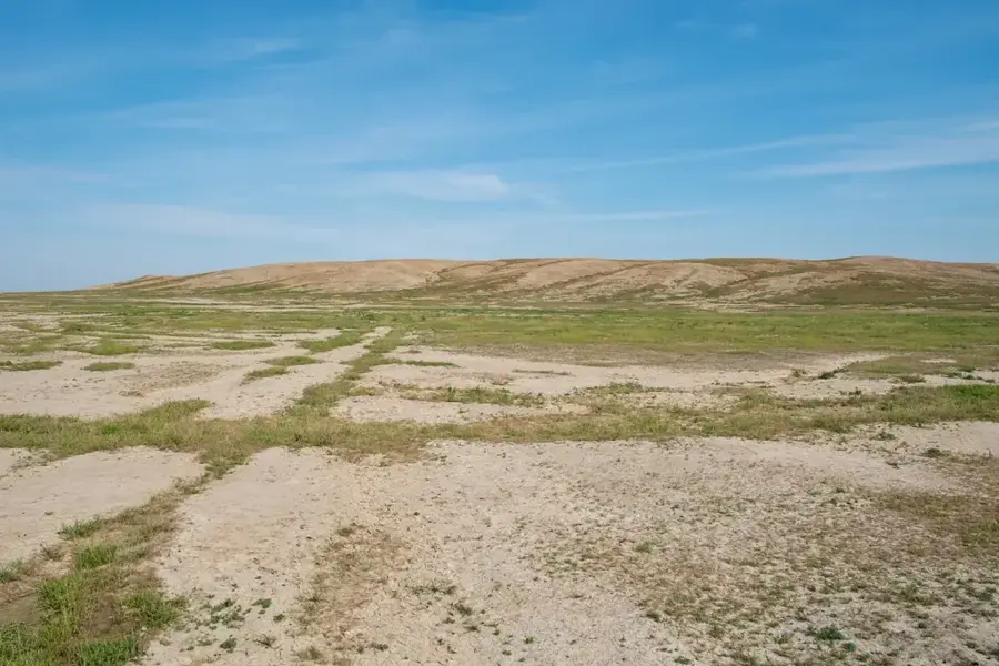
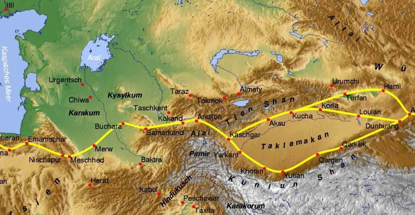
The Tejen River, widely known as the Hari River or Hari-Rud in Afghanistan, originates in the Ghor highlands and flows for approximately 1,150 kilometers before disappearing into the sands of the Karakum Desert in Turkmenistan. It serves as a lifeline for regional agriculture, particularly within the Tejen Oasis, where its waters have been harnessed for centuries to irrigate cotton and grain fields. Historically significant, the river is mentioned in the Avesta as the Harayu and was the center of the ancient region of Aria. In its lower reaches, the Tejen forms a significant portion of the international border between Iran and Turkmenistan. A modern landmark of transboundary water management is the Friendship Dam (Doosti Dam), completed in 2005 as a joint venture between Iran and Turkmenistan to regulate water distribution. The river's flow is highly seasonal, peaking during the spring snowmelt from the Hindu Kush mountains.
- Location: Turkmenistan
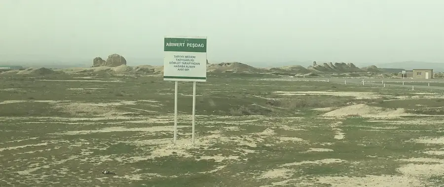
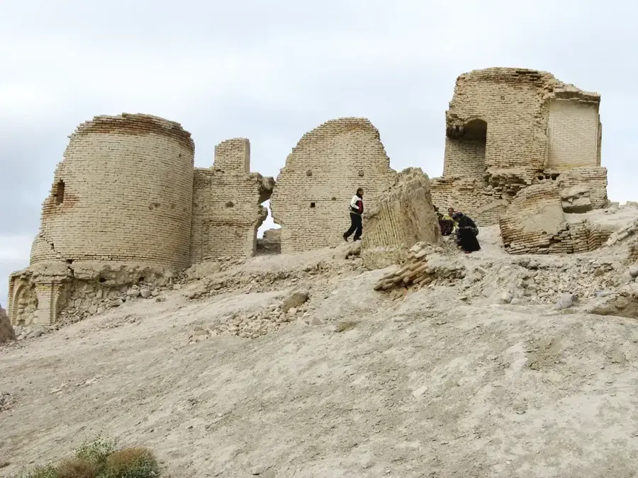
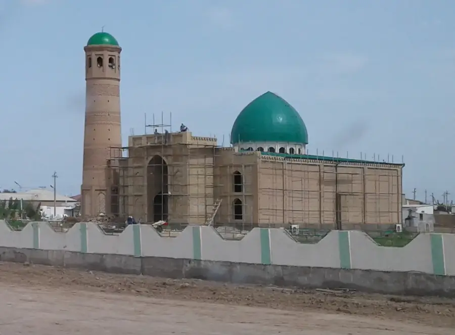
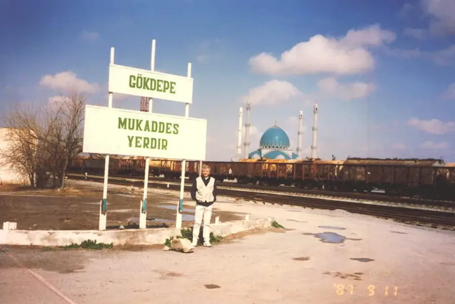
- Top sights: Tejen House of Culture · Church of the Apostle Thomas · Metjit
Best time to visit & climate
The most pleasant time to visit is Apr, Sep, Oct.
| Jan | Feb | Mar | Apr | May | Jun | Jul | Aug | Sep | Oct | Nov | Dec | |
|---|---|---|---|---|---|---|---|---|---|---|---|---|
| Avg °C | 3 | 5 | 12 | 18 | 25 | 31 | 33 | 30 | 25 | 17 | 9 | 4 |
| Rain mm | 20 | 29 | 36 | 29 | 15 | 1 | 0 | 0 | 1 | 8 | 18 | 13 |
📋 Practical info
Geography
Facts
- The total length of the river is approximately 1,150 kilometers.
- It originates at an altitude of about 3,000 meters in the Koh-i-Baba range.
- The river supports the Tejen Oasis in Turkmenistan, covering 150,000 hectares of land.
- The Friendship Dam has a reservoir capacity of 1.25 billion cubic meters.
- Ancient Greek historians referred to the river as the Arius.
- The river terminates in a blind delta in the Karakum Desert after crossing the border.
Explore nearby
Notable places around
Route planner — Car & Motorhome
Where do you start? We build the route here, with stops and country notes along the way.
© OpenStreetMap contributors · OpenRouteService
Sights in the town Tejen River (5)
Sights nearby
Frequently asked questions
Is the Heri Rud river accessible to tourists?
What is special about this river?
Are there hiking trails there?
When is the best time for a visit?
Is a permit required?
Tejen River: where is it located?
Tejen River: what is there to see?
Tejen River: when is the best time to visit?
Tejen River: why is it worth visiting?

Nearby cities

History & landmarks

Nature
More places