Plizio Visual Lab
Kopet Dag
Weather…
Water temperature…
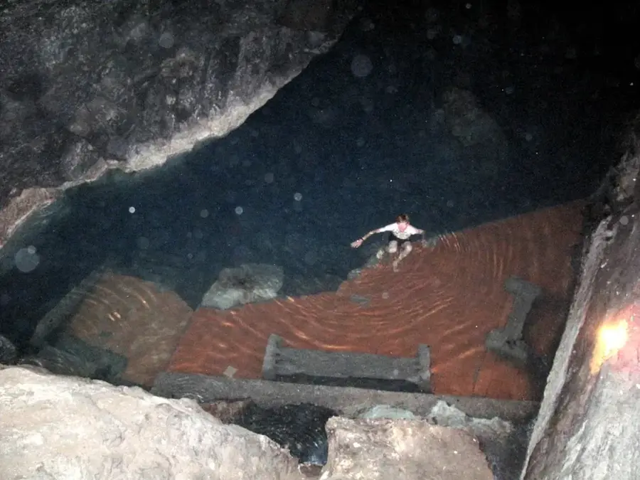
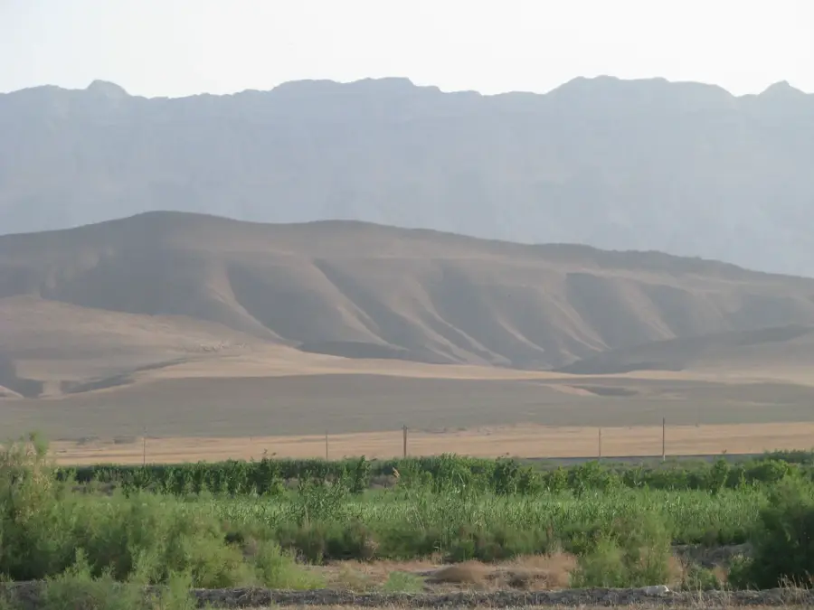
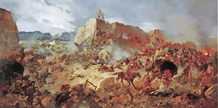
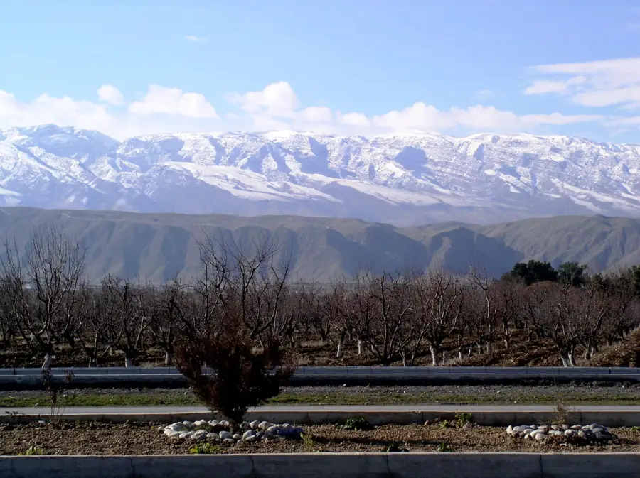
The Kopet Dag mountain range stretches along the border between Turkmenistan and Iran, forming a formidable natural barrier between the Central Asian deserts and the Iranian Plateau. Geographically, the range is defined by steep limestone slopes, deep gorges, and high plateaus. While the Ayrybaba peak in the Koytendag range is higher, the Kopet Dag is of paramount strategic and ecological importance to the region surrounding Ashgabat. Historically, these mountains were a crucial segment of the Silk Road, providing both shelter and essential water sources for passing caravans. The flora and fauna are highly specialized, including rare species such as the Persian leopard and the Turkmen wild sheep. The dense pistachio and juniper forests found at higher elevations are ecologically precious and are largely protected within nature reserves. The springs and subterranean watercourses of the Kopet Dag are vital for the water supply of the capital city. Modern hiking trails and mountain resorts have turned the region into a key destination for domestic tourism and nature enthusiasts.
- Location: Turkmenistan
- Nearby: Bäherden (27 km)
Best time to visit & climate
The most pleasant time to visit is May, Jun, Sep.
| Jan | Feb | Mar | Apr | May | Jun | Jul | Aug | Sep | Oct | Nov | Dec | |
|---|---|---|---|---|---|---|---|---|---|---|---|---|
| Avg °C | 1 | 2 | 7 | 13 | 19 | 24 | 26 | 24 | 20 | 13 | 6 | 2 |
| Rain mm | 16 | 31 | 35 | 32 | 19 | 5 | 6 | 3 | 3 | 9 | 20 | 16 |
📋 Practical info
Geography
Facts
- The mountain range spans a total length of approximately 650 kilometers.
- The highest peak on the Turkmen side is Mount Rize at 2,942 meters.
- The region is tectonically active and suffered a catastrophic earthquake in 1948.
- Kopet Dag contains one of the world's largest habitats for wild pistachios.
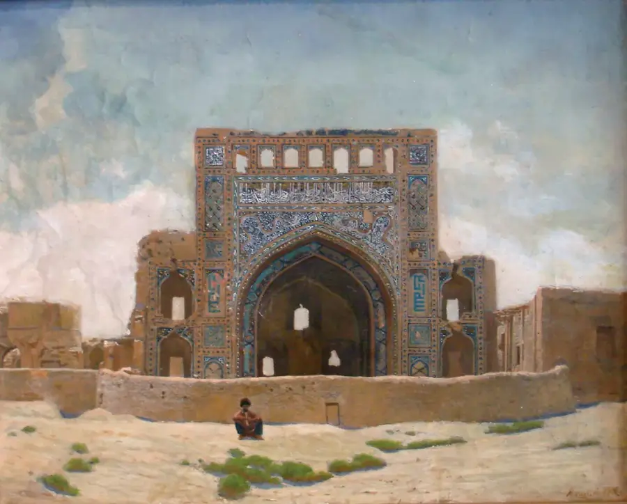
- Key archaeological sites like Nisa are located at the range's foothills.
- Annual precipitation here is markedly higher than in the neighboring Karakum Desert.
Explore nearby
Notable places around
Route planner — Car & Motorhome
Where do you start? We build the route here, with stops and country notes along the way.
© OpenStreetMap contributors · OpenRouteService
Sights nearby
Frequently asked questions
What is the difficulty of hikes in Kopet-Dag?
Is a permit required?
Is there infrastructure there?
When is the weather best?
Are there water sources?
Kopet Dag: where is it located?
Kopet Dag: when is the best time to visit?
Kopet Dag: why is it worth visiting?

Nearby cities

History & landmarks
Nature
More places