Plizio Visual Lab
Kopet Dag
Weather…
Water temperature…
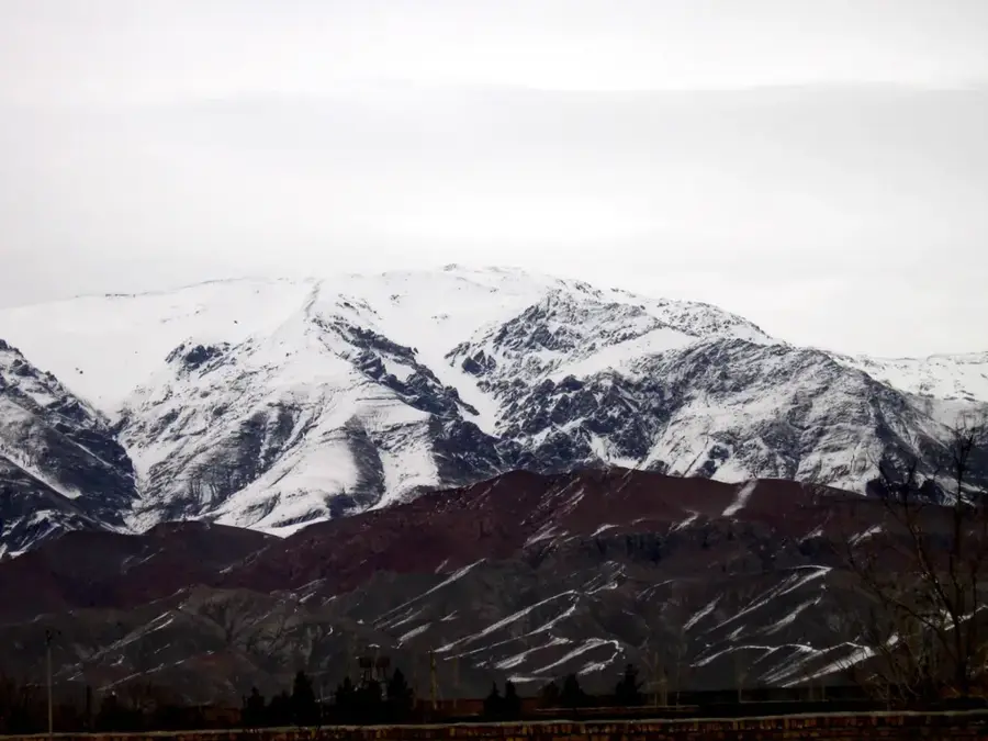
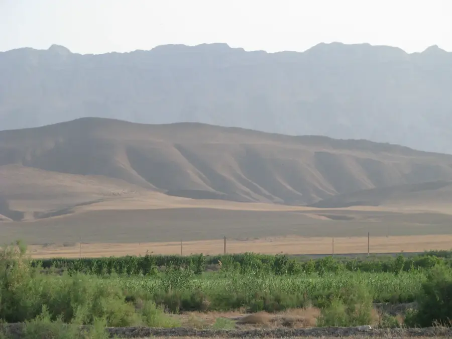
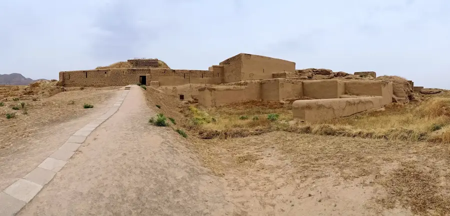
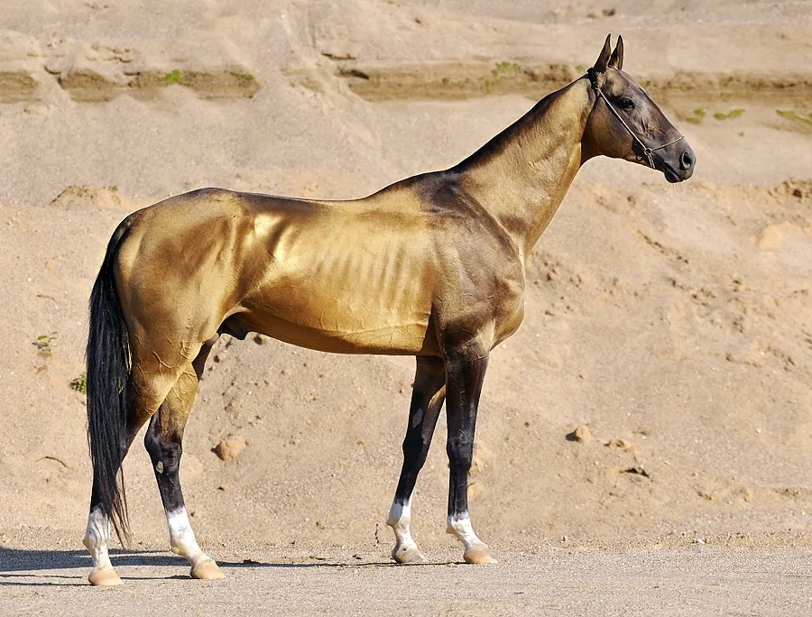
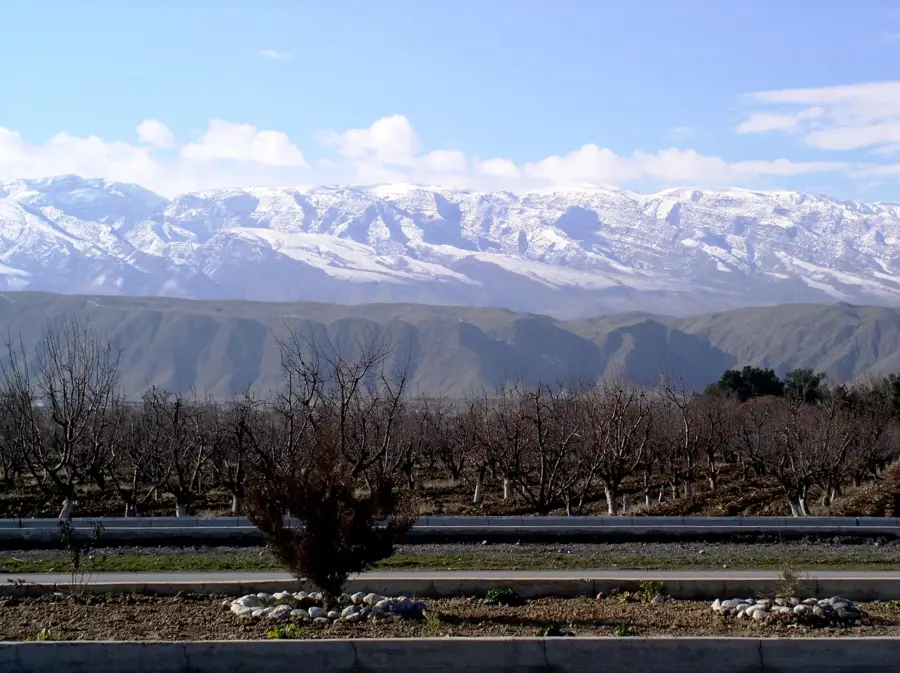
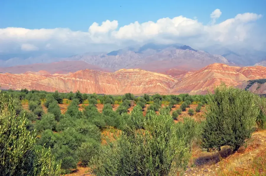
The Kopet Dag Mountains form a long and heavily fragmented mountain range that serves as a natural and political border between the northeastern Iranian province of Khorasan and the neighboring state of Turkmenistan. This spectacular region is characterized by steep, light-colored limestone cliffs, narrow gorges carved by water, and a harsh continental climate with extreme temperature variations between seasons. Historically, the mountains functioned as a crucial buffer zone and transit route along the ancient Silk Road, a fact attested to by the ruins of abandoned caravanserais still visible in the mountain valleys today. The unique ecosystem of the Kopet Dag provides an isolated and essential sanctuary for many rare and threatened species of Central Asian wildlife, including the urial wild sheep and the impressive Asiatic leopard. The rugged, hard-to-reach terrain has spared much of the area from destructive human intervention.
- Location: Iran
- Top sights: Honameh · Qaleh Cheh, North Khorasan
Best time to visit & climate
The most pleasant time to visit is Jun–Aug.
| Jan | Feb | Mar | Apr | May | Jun | Jul | Aug | Sep | Oct | Nov | Dec | |
|---|---|---|---|---|---|---|---|---|---|---|---|---|
| Avg °C | -2 | -1 | 4 | 10 | 15 | 20 | 22 | 20 | 16 | 11 | 4 | -1 |
| Rain mm | 17 | 32 | 37 | 32 | 18 | 5 | 6 | 2 | 3 | 9 | 21 | 16 |
📋 Practical info
Geography
Facts
- The robust mountain massif extends along the Iranian-Turkmen border for a distance of approximately 650 kilometers.
- The highest peak on the Iranian territory of the massif, Mount Quchan, stands at exactly 3,191 meters in elevation.
- A devastating tectonic earthquake produced along the mountain range in 1948 caused major destruction in the city of Ashgabat.
- The Tandoureh National Park, located on the Iranian side, protects over 73,000 hectares of valuable habitat.
- The complex formation process of this fold mountain massif took place predominantly during the Late Cretaceous and Early Tertiary.
- The steep karst canyons piercing through the mountains can reach astonishing depths of up to 500 meters in places.
Explore nearby
Notable places around
Route planner — Car & Motorhome
Where do you start? We build the route here, with stops and country notes along the way.
© OpenStreetMap contributors · OpenRouteService
Sights in the town Kopet Dag (2)
Sights nearby
Frequently asked questions
What are the Kopet-Dag Mountains?
Are the mountains accessible to tourists?
What can you do there?
Is equipment needed for steep terrain?
How is the climate?
Kopet Dag: where is it located?
Kopet Dag: what is there to see?
Kopet Dag: when is the best time to visit?
Kopet Dag: why is it worth visiting?

Nearby cities


History & landmarks


Nature
More places