Plizio Visual Lab
Mount Dushakeredag

Weather…
Water temperature…
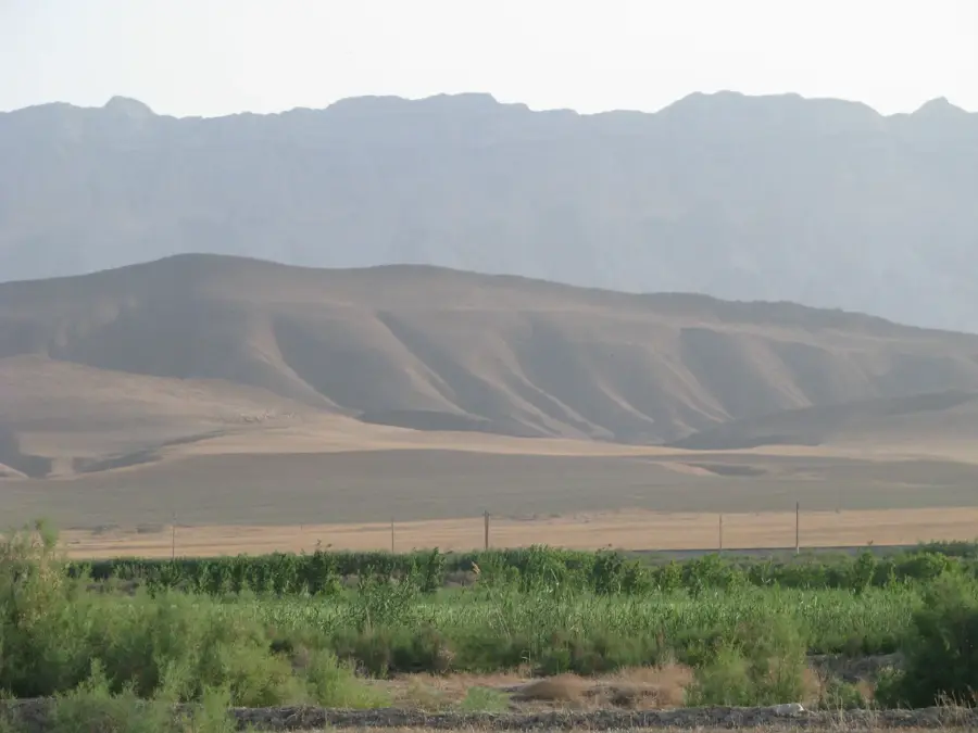
Mount Dushakeredag, commonly known as Dushak, is one of the most prominent peaks in the Kopet Dag range near Ashgabat. Standing at approximately 2,480 meters, it provides a dramatic backdrop to the Turkmen capital and is a popular destination for hikers and climbers. The name Dushak means mountain with two peaks, referring to the characteristic twin summits of the massif. The mountain hosts important astronomical and meteorological observatories, taking advantage of the clear high-altitude air and low light pollution. Its slopes are forested with juniper and provide a sanctuary for diverse wildlife, including mountain goats and eagles. Geologically, the mountain is composed largely of limestone, forming sheer cliffs and deep crevices. In winter, the summit is frequently blanketed in snow, making it a visible landmark for miles across the surrounding plains. It remains a key site for environmental monitoring and scientific study in Turkmenistan.
- Location: Turkmenistan
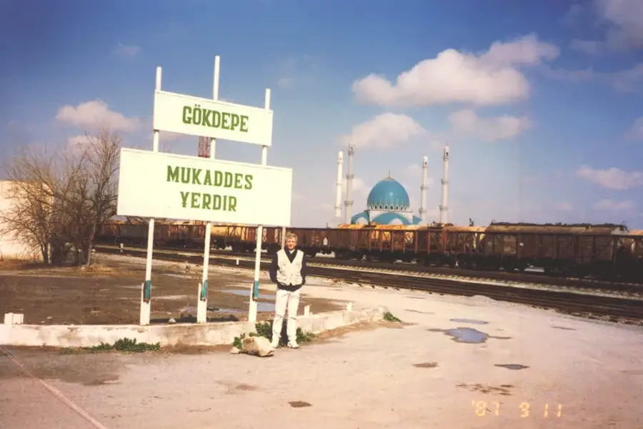
- Nearby: Gökdepe (13 km)
Best time to visit & climate
The most pleasant time to visit is May, Jun, Sep.
| Jan | Feb | Mar | Apr | May | Jun | Jul | Aug | Sep | Oct | Nov | Dec | |
|---|---|---|---|---|---|---|---|---|---|---|---|---|
| Avg °C | 3 | 4 | 10 | 15 | 22 | 26 | 29 | 27 | 22 | 15 | 8 | 4 |
| Rain mm | 16 | 29 | 38 | 32 | 18 | 5 | 5 | 2 | 3 | 10 | 22 | 16 |
📋 Practical info
Geography
Facts
- The peak reaches an elevation of approximately 2,480 meters.
- It is located roughly 40 kilometers southwest of the city of Ashgabat.
- The mountain is a site for strategic astronomical observations in the region.
- The name Dushak refers to its distinct twin-peak silhouette.
- Temperatures at the summit can be 10-15 degrees lower than in the city.
- The mountain serves as a crucial area for studying high-altitude biodiversity.
Explore nearby
Notable places around
Route planner — Car & Motorhome
Where do you start? We build the route here, with stops and country notes along the way.
© OpenStreetMap contributors · OpenRouteService
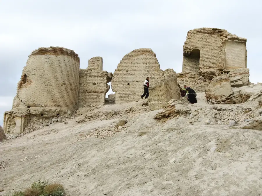
Sights in the town Mount Dushakeredag (1)
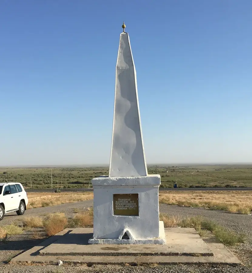
Sights nearby
Frequently asked questions
What characterizes Dushakerekdag?
Is the ascent dangerous?
What is the best season?
Is a permit needed?
Can one camp there?
Mount Dushakeredag: where is it located?
Mount Dushakeredag: when is the best time to visit?
Mount Dushakeredag: why is it worth visiting?

Nearby cities

History & landmarks
Nature
More places