Plizio Visual Lab
Tandjouaré

ℹ️Practical info — Tandjouaré
▾
🌤 Weather — 5 days
📍 Nearby
Sights nearby
💡 Tips
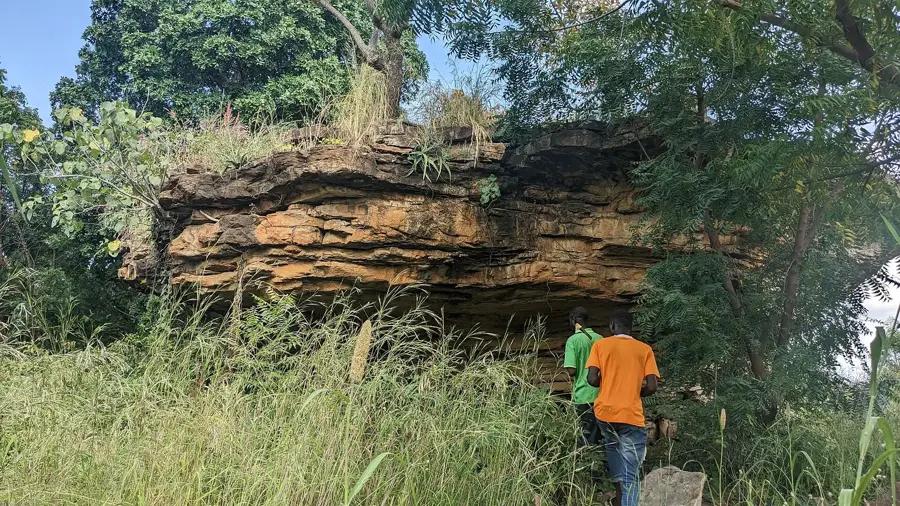
- Visit the cave dwellings of Nok and Mamproug in the morning for the best photographic lighting.
- Tandjouaré is the primary gateway for organizing eco-tours into the Fosse aux Lions National Park.
- Be prepared for the dry northern heat; carry plenty of water and wear high-SPF sun protection.
- Hire a local guide to learn the fascinating history of the defensive shelters carved into the cliffs.
- The north is predominantly Muslim; dress modestly and be mindful of local religious holidays and customs.
🍽 Food
A thick millet porridge that is the staple of the north, usually served with a savory leaf sauce.
A firm local cow's milk cheese, often grilled and served as a specialty in northern markets.
A traditional fermented red millet beer, a social staple in the Savanes region.
🛍 Shopping · 🧘 Quiet spots
Tandjouaré is a great place to find high-quality handmade leather sandals and bags.
Artistic and practical, these hand-woven fans are a signature craft of the northern plains.
A shaded forest area south of the town, offering a cool retreat for nature walks.
Find a quiet spot on the sandstone plateaus for a sweeping view over the northern savanna.
Water temperature…
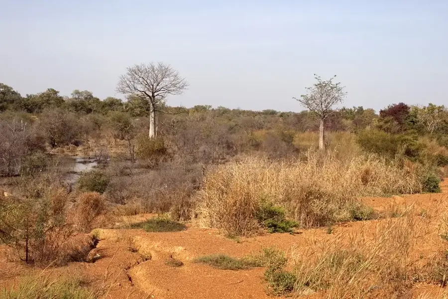
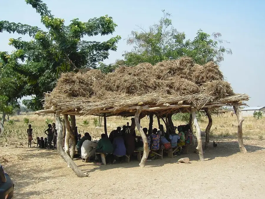
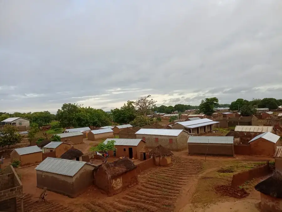
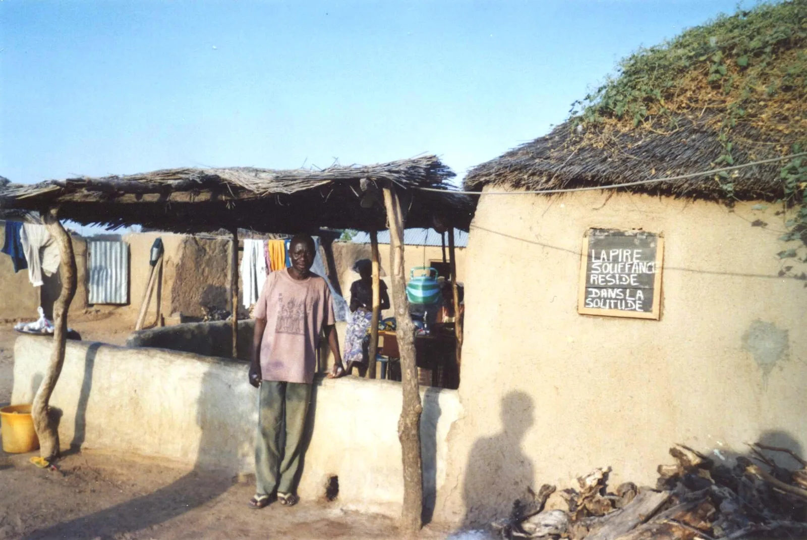
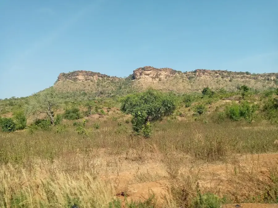
Tandjouaré is the capital of the eponymous prefecture in the Savanes Region and lies about 25 kilometres southwest of Dapaong along the main road heading toward Burkina Faso. The town has developed into an important administrative centre, hosting schools, health facilities, a police station and several prefectural offices. Geographically Tandjouaré sits in a gently rolling Sahelian transition zone where the vegetation is dominated by dry savanna dotted with karité and néré trees. The population is predominantly Moba, a people with their own language and a rich oral tradition. Economically the town depends on subsistence agriculture - millet, sorghum and beans - as well as on shea-butter processing produced for local and regional markets. Cross-border trade with Burkina Faso, channelled along the main road, plays a growing role in the local economy.
- Location: Togo
- Top sights: Tandjouaré Prefecture · Tandjouaré, Togo
- Nearby: Biankouri (12 km)
- Population: ~1.671 (2024)
Best time to visit & climate
The most pleasant time to visit is Jan, Nov, Dec.
| Jan | Feb | Mar | Apr | May | Jun | Jul | Aug | Sep | Oct | Nov | Dec | |
|---|---|---|---|---|---|---|---|---|---|---|---|---|
| Avg °C | 23 | 27 | 30 | 30 | 29 | 27 | 26 | 26 | 26 | 26 | 26 | 24 |
| Rain mm | 2 | 7 | 16 | 75 | 131 | 175 | 251 | 292 | 238 | 98 | 7 | 0 |
Geography
Facts
- Tandjouaré is known for impressive nearby caves, such as those at Nano.
- The town is located approximately 600 kilometers north of the capital, Lomé.
- The Moba dialect is the most commonly spoken language in the region.
- The Savanes Region experiences a severe dry season due to the Harmattan wind.
- Tandjouaré serves as a major stopping point for buses on the north-south route.
- Baobab trees are a prominent feature of the landscape surrounding the town.
Explore nearby
Notable places around
Route planner — Car & Motorhome
Where do you start? We build the route here, with stops and country notes along the way.
© OpenStreetMap contributors · OpenRouteService
Sights in the town Tandjouaré (2)
Frequently asked questions
What is the charm of Tandjouaré?
Are there markets?
How is the food?
What should I be aware of in the heat?
Is it safe for solo travelers?
Tandjouaré: where is it located?
Tandjouaré: what is there to see?
Tandjouaré: when is the best time to visit?
Tandjouaré: why is it worth visiting?

Nearby cities
More places