Plizio Visual Lab
Oti Basin
Weather…
Water temperature…
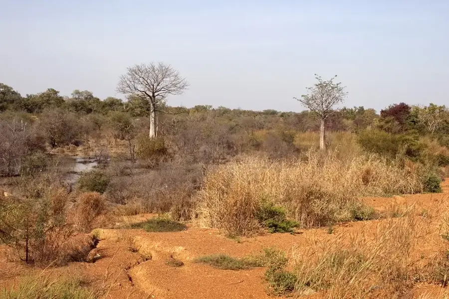
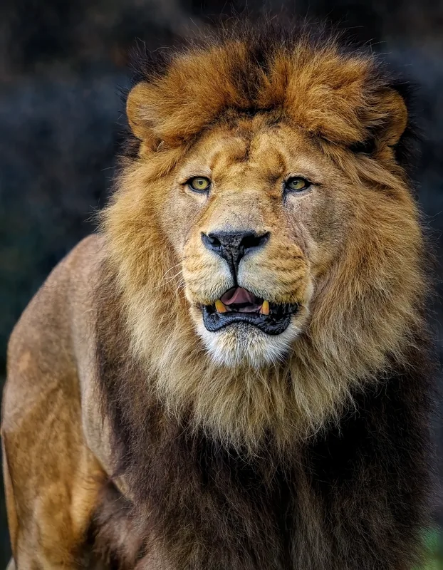
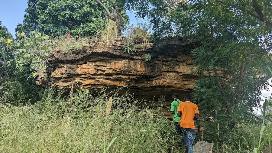
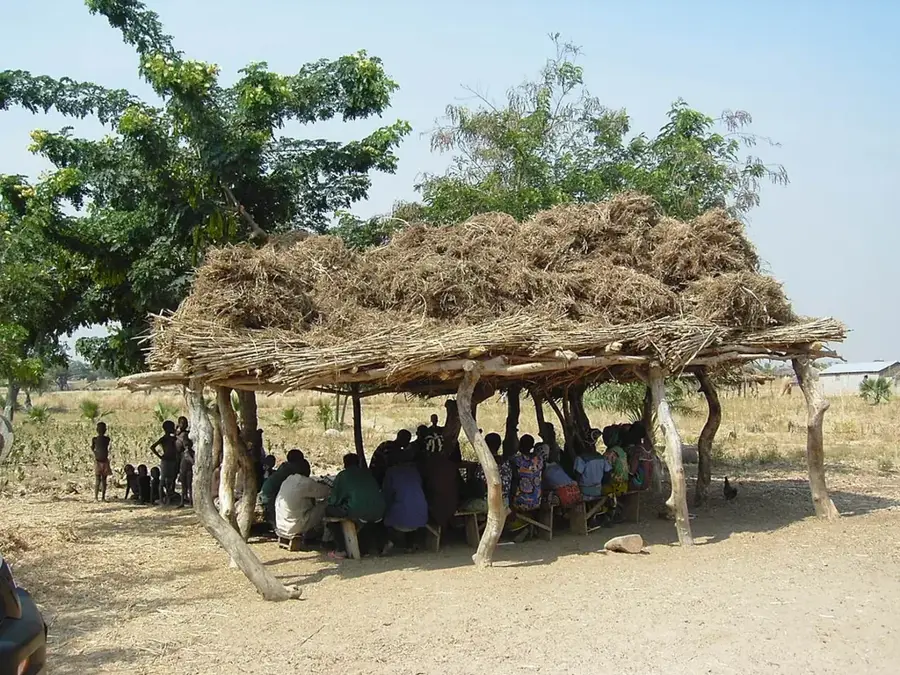
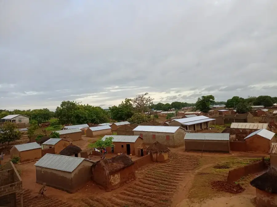
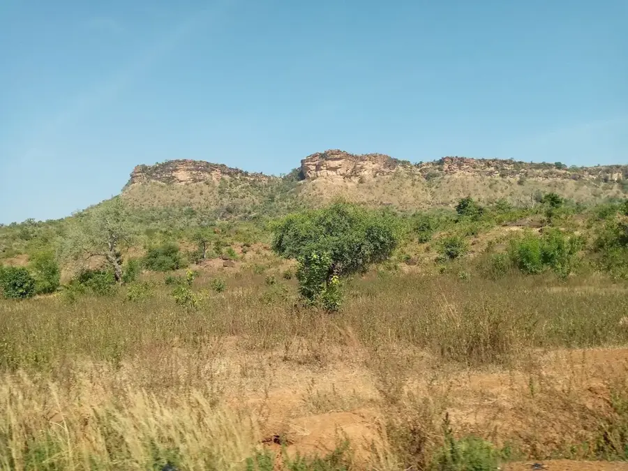
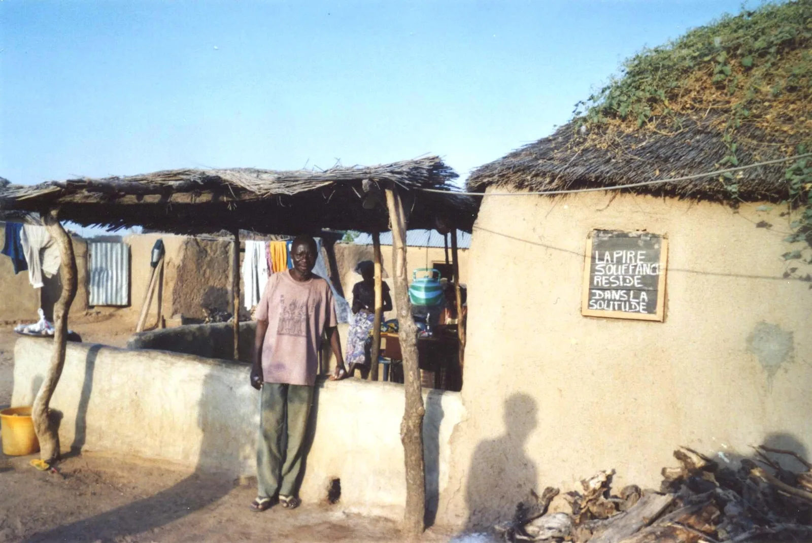
The Oti Basin is a major geographical region in northern Togo, encompassing the drainage area of the Oti River, one of the primary tributaries of the Volta River. The landscape is characterized by vast savanna plains that transition towards the Sahel in the north, bounded by prominent sandstone plateaus like the Bomboaka Plateau. The Oti River itself meanders through the basin, creating fertile riparian zones that are seasonally flooded. These floodplains are ecologically invaluable, housing significant protected areas such as the Kéran National Park and the Oti-Mandouri Reserve, which provide refuge for elephants, antelopes, and hundreds of bird species. Geologically, the basin consists mainly of Paleozoic sedimentary rocks forming part of the larger Volta Basin. The region is sparsely populated, with the economy centered on subsistence farming, livestock herding, and fishing. The extreme seasonal fluctuations in water levels dictate the daily life of the local communities and the migration patterns of wildlife in this remote part of Togo.
- Location: Togo
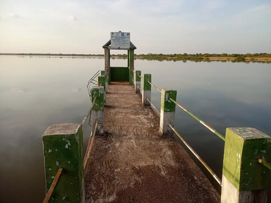
- Top sights: Hippo Pond · Barrage de koumbeloti
- Nearby: Sansanné-Mango (6 km)
Best time to visit & climate
The most pleasant time to visit is Jan, Nov, Dec.
| Jan | Feb | Mar | Apr | May | Jun | Jul | Aug | Sep | Oct | Nov | Dec | |
|---|---|---|---|---|---|---|---|---|---|---|---|---|
| Avg °C | 24 | 28 | 31 | 31 | 29 | 27 | 26 | 26 | 26 | 27 | 26 | 24 |
| Rain mm | 1 | 5 | 16 | 74 | 129 | 187 | 249 | 291 | 231 | 103 | 8 | 0 |
📋 Practical info
Geography
Facts
- The Oti River is known as the Pendjari River in neighboring Benin.
- The basin forms a key part of the larger Volta River catchment area.
- Kéran National Park within the basin is home to protected elephants.
- The relief is dominated by the flat and low-lying Oti Plain.
- Sandstone ridges define the northern and eastern edges of the basin.
- Seasonal flooding creates rich, temporary wetlands vital for birds.
Explore nearby
Notable places around
Route planner — Car & Motorhome
Where do you start? We build the route here, with stops and country notes along the way.
© OpenStreetMap contributors · OpenRouteService
Sights in the town Oti Basin (2)
Sights nearby
Frequently asked questions
What does the Oti-Basin offer tourists?
Are there safaris?
Best time for safaris?
Is it safe to travel?
What should I bring?
Oti Basin: where is it located?
Oti Basin: what is there to see?
Oti Basin: when is the best time to visit?
Oti Basin: why is it worth visiting?

Nearby cities
More places