Plizio Visual Lab
Bight of Benin
Weather…
Water temperature…
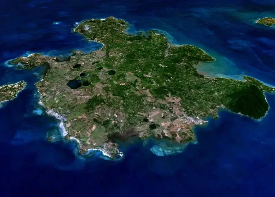
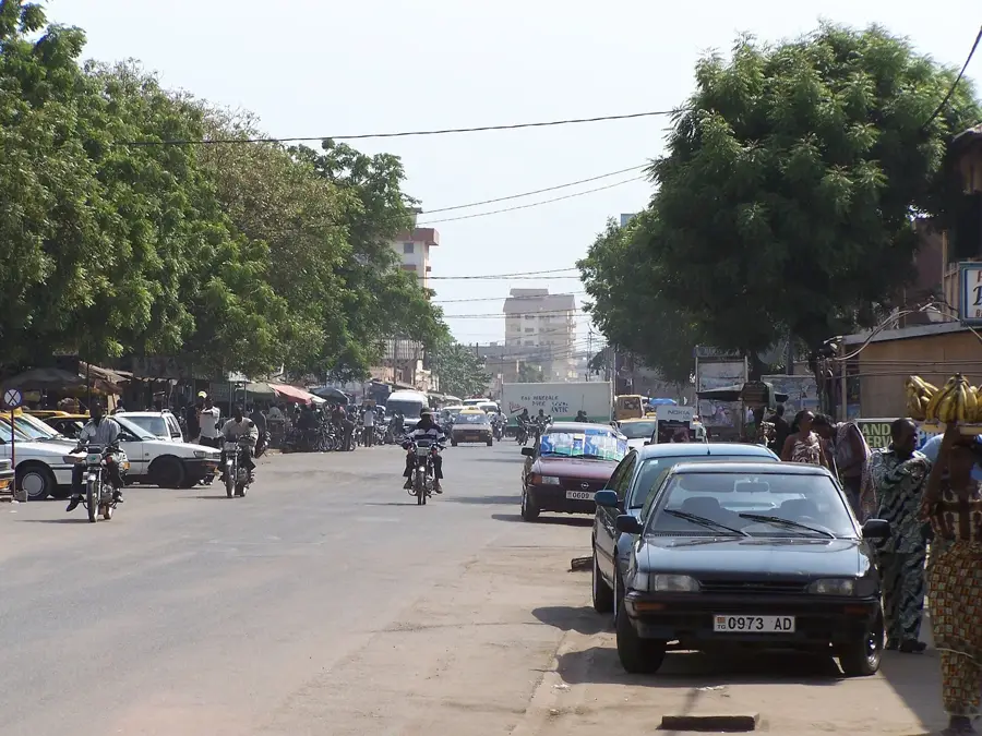
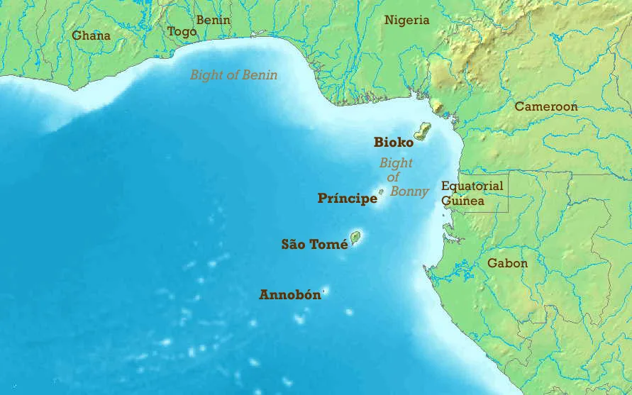
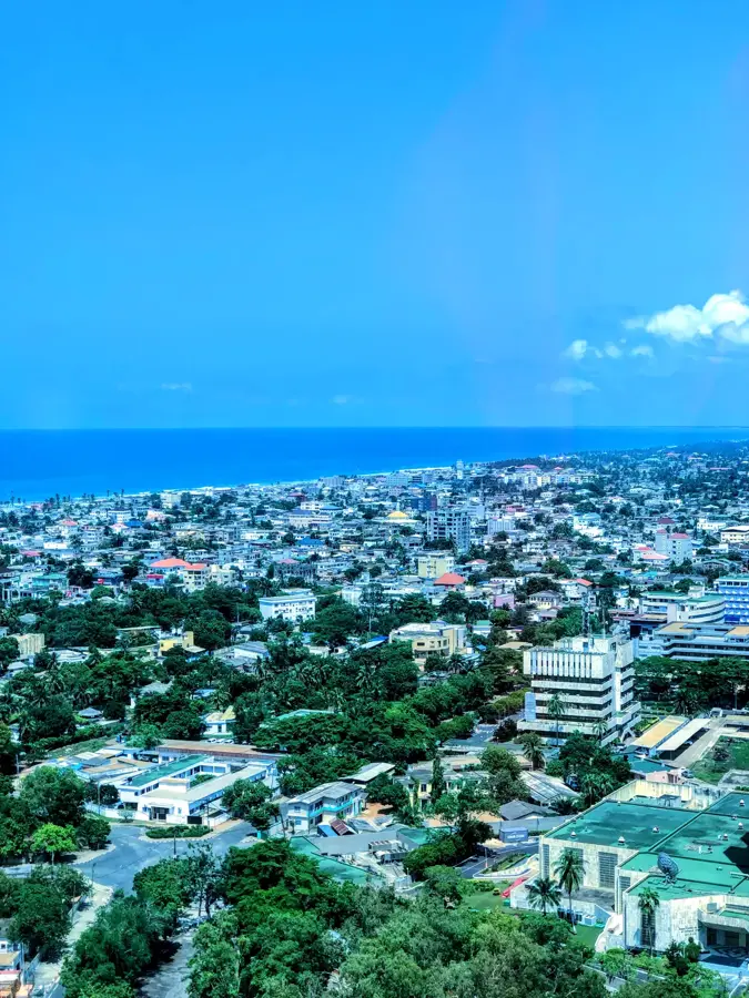
The Bight of Benin is a large bay or bight on the West African coast, forming a significant part of the Gulf of Guinea. It extends eastward for approximately 640 kilometers from Cape St. Paul in Ghana to the Nun outlet of the Niger River in Nigeria. Historically, the region was infamously known as the Slave Coast because it was a major departure point for millions of Africans during the Atlantic slave trade between the 16th and 19th centuries. The coastline is characterized by numerous lagoons, marshes, and sandbars that separate the Atlantic Ocean from inland waterways and mangroves. Major port cities along the bight include Cotonou in Benin, Lomé in Togo, and Lagos in Nigeria, making it a hub for international maritime trade. In the modern era, the Bight of Benin has become economically vital for its offshore petroleum deposits and extensive fishing industry. The area is currently facing environmental issues, most notably severe coastal erosion and rising sea levels affecting the coastal infrastructure.
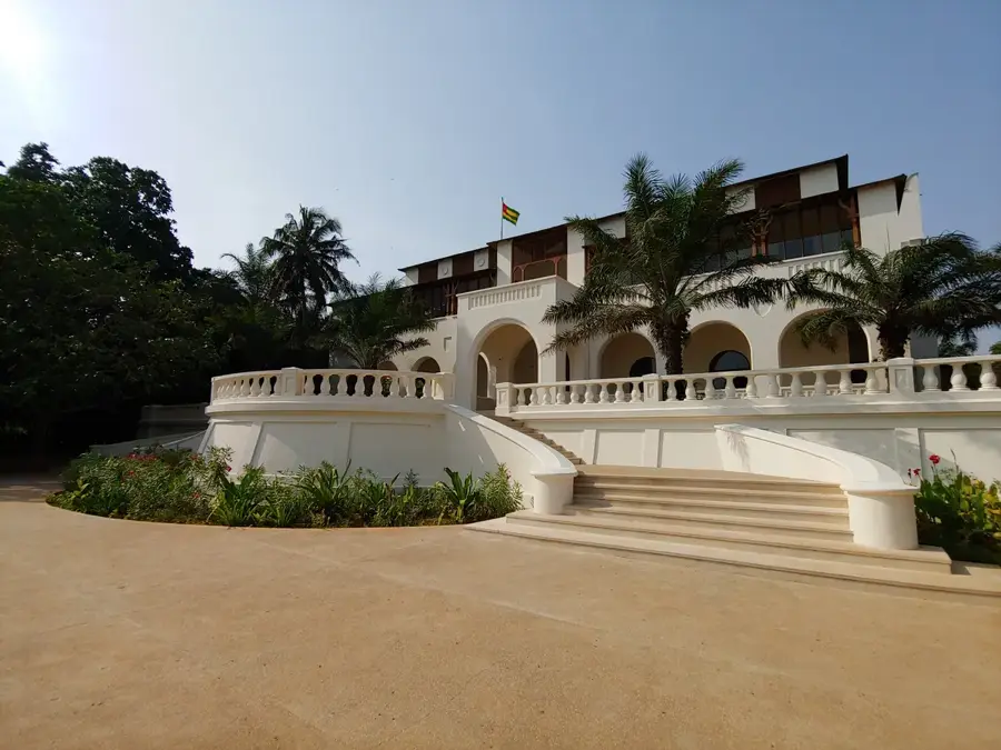
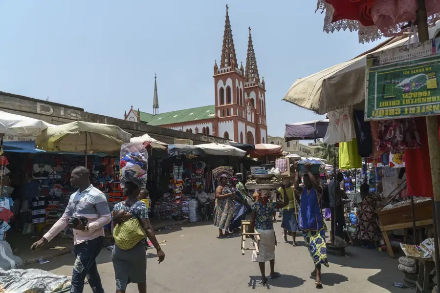
- Location: Togo
- Nearby: Lake Togo (37 km)
Best time to visit & climate
The most pleasant time to visit is Jan, Aug, Dec.
| Jan | Feb | Mar | Apr | May | Jun | Jul | Aug | Sep | Oct | Nov | Dec | |
|---|---|---|---|---|---|---|---|---|---|---|---|---|
| Avg °C | 28 | 28 | 28 | 28 | 28 | 26 | 25 | 25 | 25 | 26 | 27 | 28 |
| Rain mm | 15 | 33 | 86 | 118 | 171 | 181 | 111 | 57 | 132 | 140 | 40 | 16 |
📋 Practical info
Geography
Facts
- The bight stretches for about 640 km from Cape St. Paul to the Niger Delta.
- It was the primary region of the 'Slave Coast' for over 300 years.
- The area is part of the eastern Atlantic's Gulf of Guinea.
- Major cities like Lomé and Cotonou serve as vital deep-water ports.
- Offshore oil exploration is a major industry in the Nigerian sector.
- The coastline is known for its complex system of lagoons and sandbars.
Explore nearby
Notable places around
Route planner — Car & Motorhome
Where do you start? We build the route here, with stops and country notes along the way.
© OpenStreetMap contributors · OpenRouteService
Sights nearby
Frequently asked questions
How safe is swimming in the Bight of Benin?
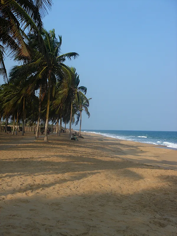
Are there beautiful sandy beaches there?
When is the water warmest?
When is the best time to travel?
Do you need a visa?
Bight of Benin: where is it located?
Bight of Benin: when is the best time to visit?
Bight of Benin: why is it worth visiting?

Nearby cities

History & landmarks

More places