Plizio Visual Lab
Mwanga
ℹ️Practical info — Mwanga
▾
🌤 Weather — 5 days
📍 Nearby
Sights nearby
💡 Tips
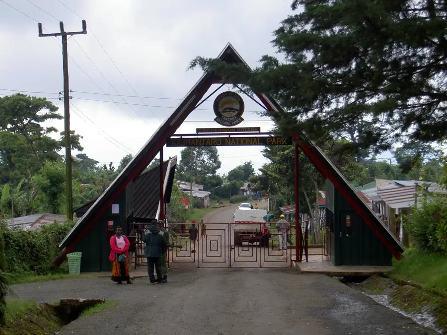
- Use Mwanga as a gateway for treks into the Pare Mountains, which offer a peaceful alternative to the crowded Kilimanjaro circuit.
- Visit the Usangi market on a Monday or Thursday to witness the authentic local life of the Pare mountain people.
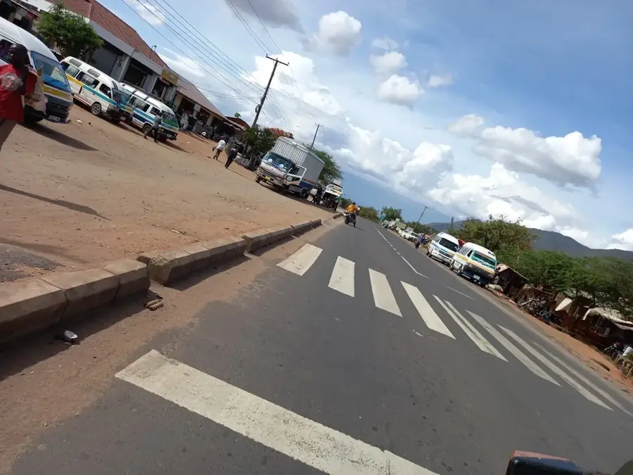
- Take a dala-dala (minibus) from Moshi; the trip takes about an hour and is the most affordable way to travel.
- Be prepared for cooler temperatures in the mountain villages and bring a light jacket for the evenings.
- Do not rely on ATMs outside Mwanga's town center; ensure you carry enough cash when heading into the mountains.
🍽 Food
The quintessential Pare dish: a hearty mash of bananas and red beans, best tried in local village eateries.
A slow-cooked stew of maize and beans, traditionally prepared on Fridays as a symbol of hospitality.
A traditional brew made from fermented sugarcane or bananas, often found in small backyard breweries in Usangi.
🛍 Shopping · 🧘 Quiet spots
Visit the Mbore Women Pottery Group in Usangi, who use ancient techniques to create red-clay cooking pots and souvenirs.
Look for artisans of the Shana clan in the lower villages, known for centuries of traditional forging of tools and bells.
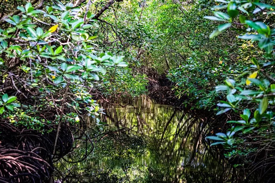
A serene 'cloud forest' in the North Pare Mountains with mossy trails and panoramic views of Mount Kilimanjaro.
A peaceful lake on the border with Kenya, well-suited for a quiet canoe ride to observe hippos and diverse birdlife.
Water temperature…
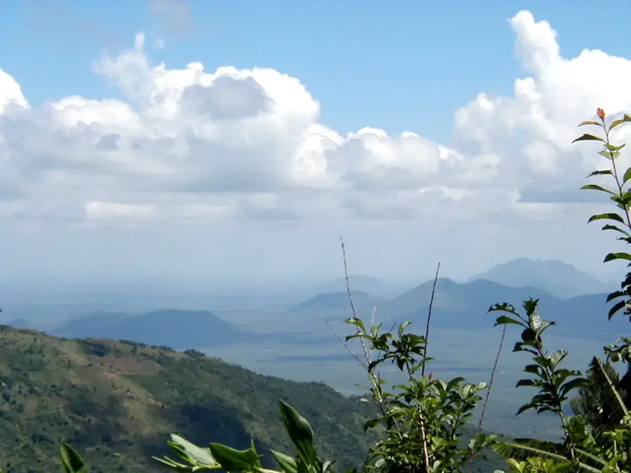
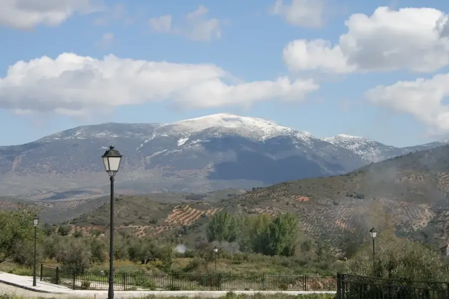
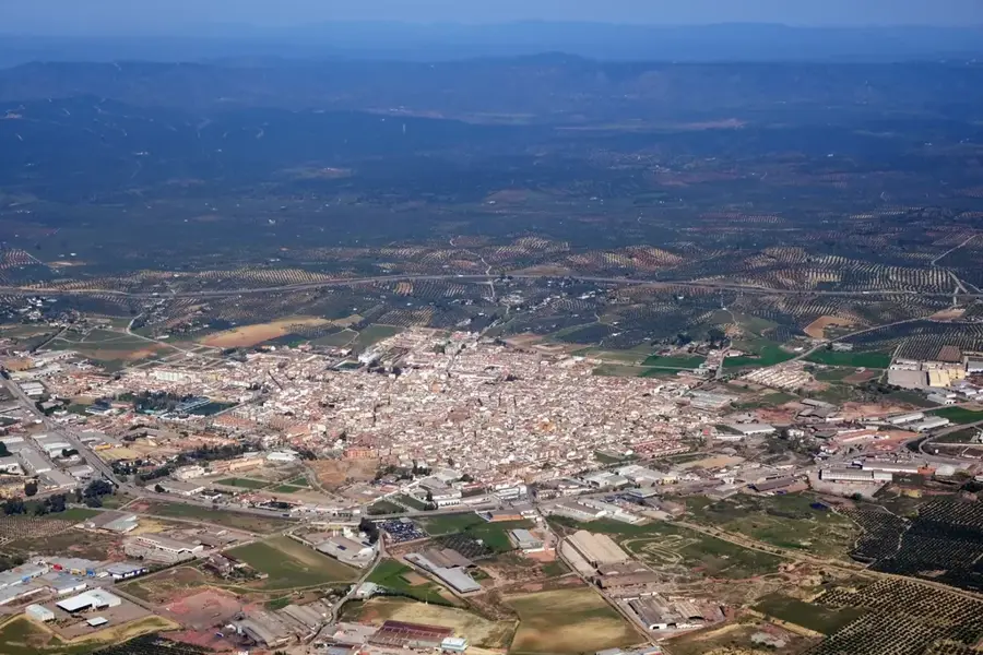
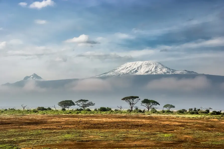
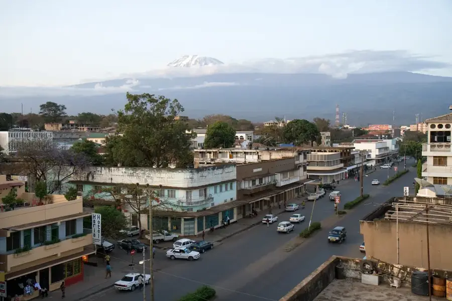
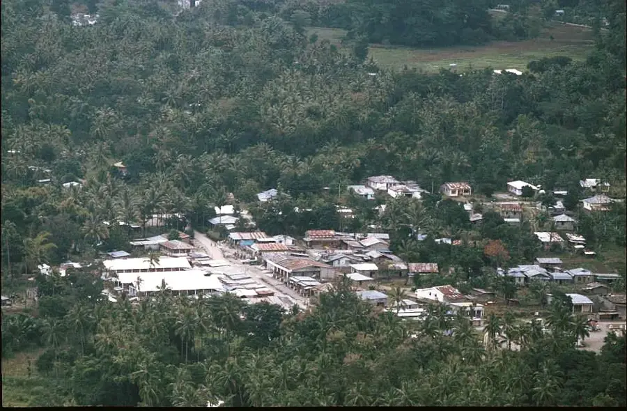
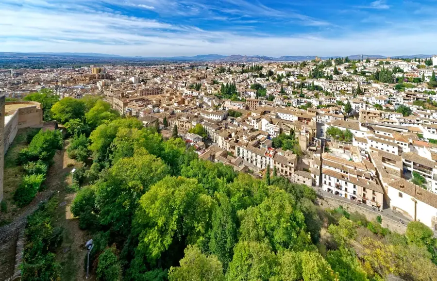
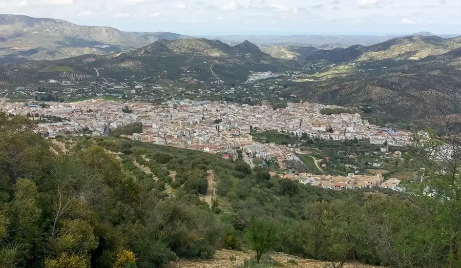
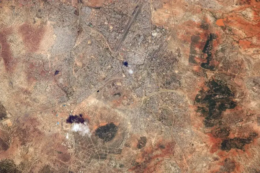
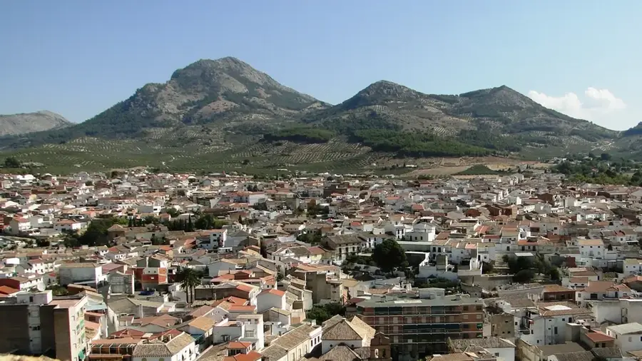
Mwanga is a strategically located administrative center in the Kilimanjaro Region of northeastern Tanzania. The town lies at the foot of the North Pare Mountains, serving as a gateway to both the fertile highland regions and the lower-lying steppe areas. Historically and economically, Mwanga benefits from its position on the main highway between Arusha and Dar es Salaam, making it a bustling commercial hub. A defining geographical feature of the area is the Nyumba ya Mungu reservoir, which is vital for hydroelectric power generation and fishing. The local population is primarily engaged in agriculture, with the cultivation of sisal, maize, and beans being particularly prominent. Furthermore, the town serves as a starting point for eco-tourism activities in the Pare Mountains, which are noted for their unique biodiversity.
- Location: Tanzania
- Nearby: Marangu (29 km)
Best time to visit & climate
The most pleasant time to visit is Jun–Aug.
| Jan | Feb | Mar | Apr | May | Jun | Jul | Aug | Sep | Oct | Nov | Dec | |
|---|---|---|---|---|---|---|---|---|---|---|---|---|
| Avg °C | 26 | 26 | 26 | 24 | 22 | 21 | 21 | 22 | 24 | 25 | 25 | 25 |
| Rain mm | 52 | 49 | 85 | 122 | 87 | 19 | 11 | 14 | 17 | 60 | 99 | 85 |
Geography
Facts
- Mwanga serves as the administrative capital of the Mwanga District.
- The town is situated on the T2 highway between Arusha and Dar es Salaam.
- The nearby Nyumba ya Mungu Dam was completed in 1968.
- The surrounding Pare Mountains are home to rare endemic bird species.
- Mwanga is connected to the historic Usambara railway line.
- The region is renowned for its traditional hillside irrigation systems.
Explore nearby
Notable places around
Route planner — Car & Motorhome
Where do you start? We build the route here, with stops and country notes along the way.
© OpenStreetMap contributors · OpenRouteService
Sights in the town Mwanga (1)
Frequently asked questions
How long to stay in Mwanga?
When is the best time for Mwanga?
How to get to Mwanga?
What is there culinary in Mwanga?
Is Mwanga family-friendly?
Mwanga: where is it located?
Mwanga: when is the best time to visit?
Mwanga: why is it worth visiting?

Nearby cities
History & landmarks


More places