Plizio Visual Lab
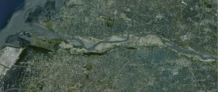
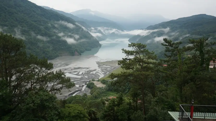
Zhuoshui River
Weather…
Water temperature…
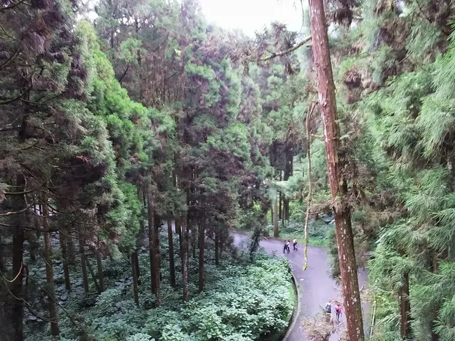
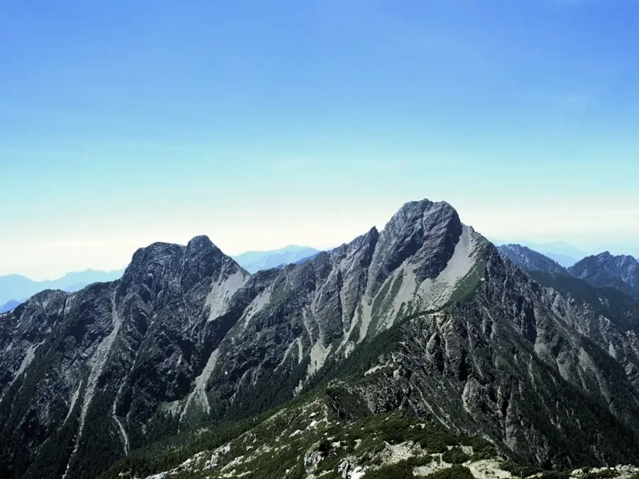
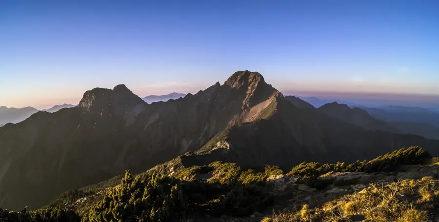
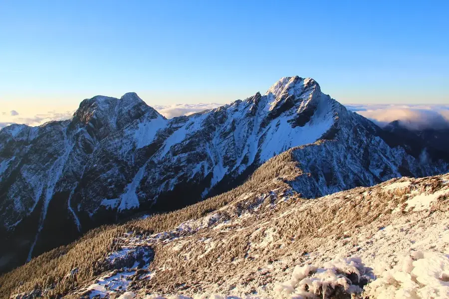
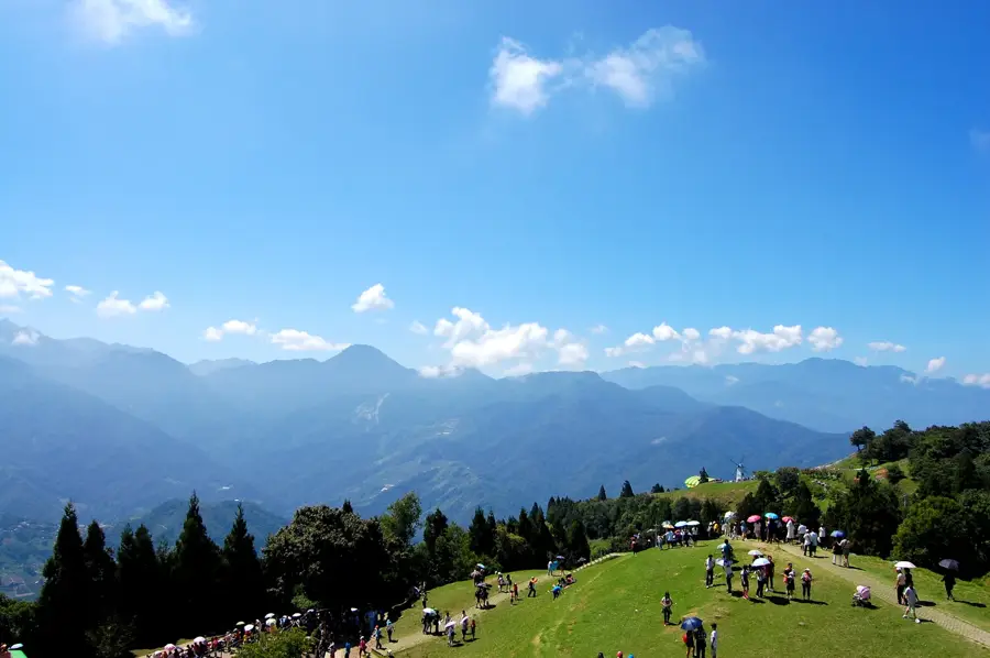
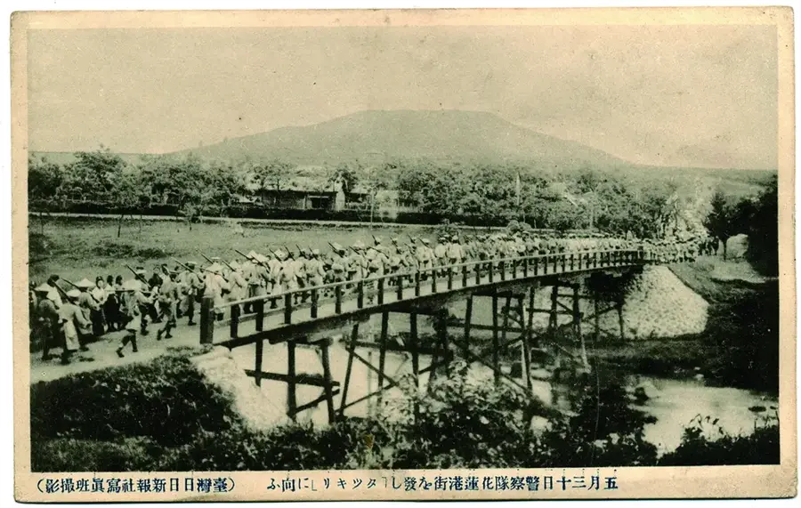
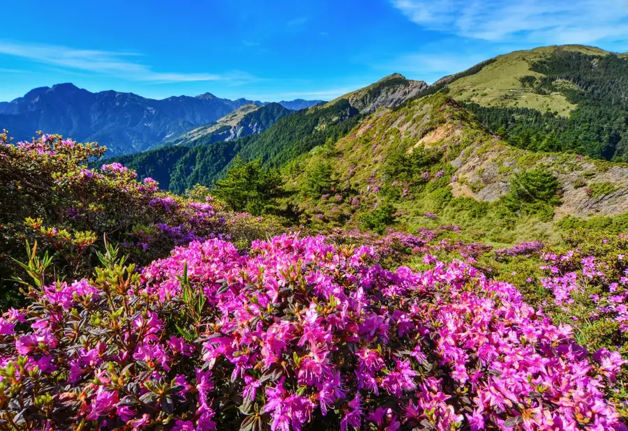
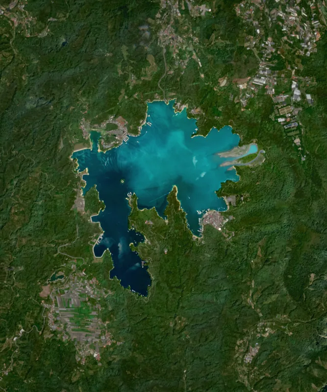
The Zhuoshui River is the longest river in Taiwan, stretching approximately 186 kilometers. It originates in the Central Mountain Range between Mount Hehuan and Mount Qilai and flows westward through Nantou, Changhua, and Yunlin counties into the Taiwan Strait. Its name, which means 'muddy water,' refers to the high sediment load the river carries, particularly during the typhoon season. Historically, the river serves as a major cultural and geographical boundary between northern and southern Taiwan. The fertile sediment deposited by the river has made the Zhuoshui Plain one of the nation's most important rice-growing regions. Along its course, several dams and hydroelectric power stations are situated, playing a critical role in the region's energy and water supply.
- Location: Taiwan
- Nearby: Puzi (22 km)
Best time to visit & climate
The most pleasant time to visit is Feb, Nov, Dec.
| Jan | Feb | Mar | Apr | May | Jun | Jul | Aug | Sep | Oct | Nov | Dec | |
|---|---|---|---|---|---|---|---|---|---|---|---|---|
| Avg °C | 18 | 18 | 20 | 23 | 26 | 27 | 28 | 28 | 28 | 26 | 23 | 20 |
| Rain mm | 49 | 42 | 87 | 110 | 219 | 285 | 207 | 308 | 152 | 46 | 36 | 39 |
📋 Practical info
Geography
Facts
- At 186 kilometers, it is the longest river on the island of Taiwan.
- The river's drainage basin covers an area of approximately 3,157 square kilometers.
- It serves as the official administrative boundary between Changhua and Yunlin counties.
- The Wujie Dam on the upper reach is a key structure for water diversion.
- Rice grown in the Zhuoshui basin was historically prized as imperial tribute.
- During extreme typhoon events, the discharge can exceed 20,000 cubic meters per second.
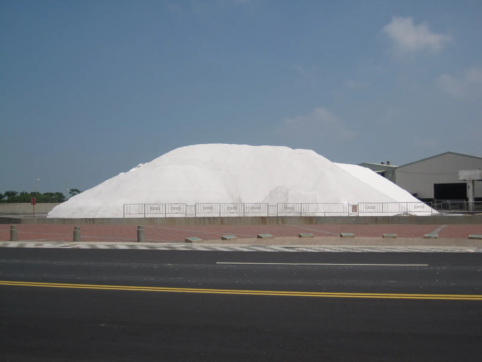
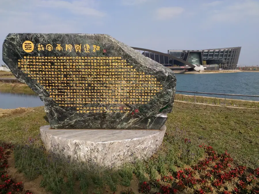
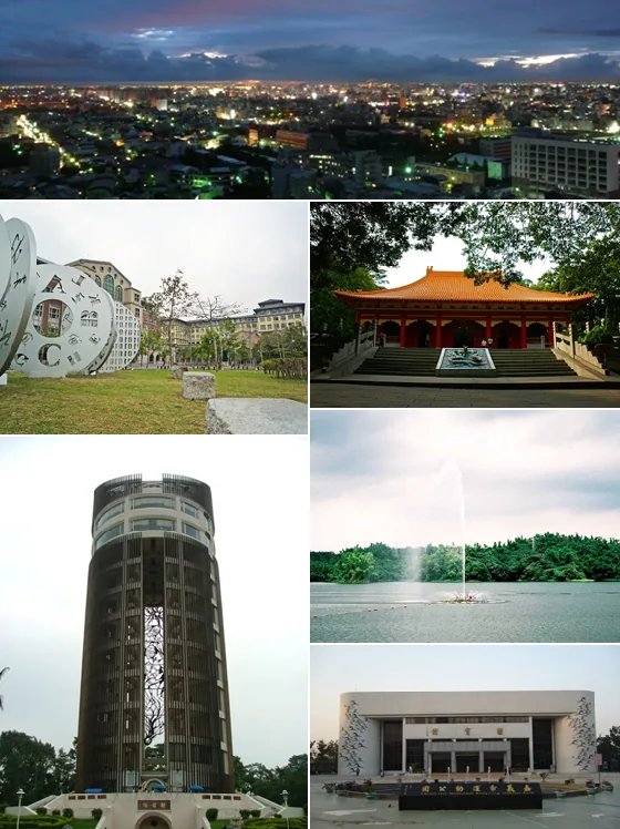
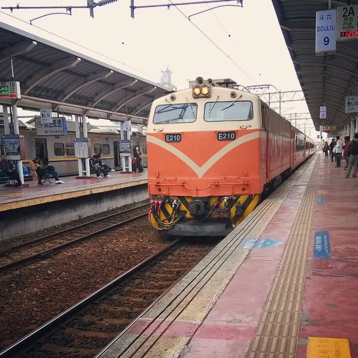
Explore nearby
Notable places around
Route planner — Car & Motorhome
Where do you start? We build the route here, with stops and country notes along the way.
© OpenStreetMap contributors · OpenRouteService
Sights nearby
Frequently asked questions
Is the Zhuoshui River suitable for boating?
Can you hike along the shore?
Are there viewpoints there?
Is the river dangerous?
Is it worth visiting for photographers?
Zhuoshui River: where is it located?
Zhuoshui River: when is the best time to visit?
Zhuoshui River: why is it worth visiting?

Nearby cities


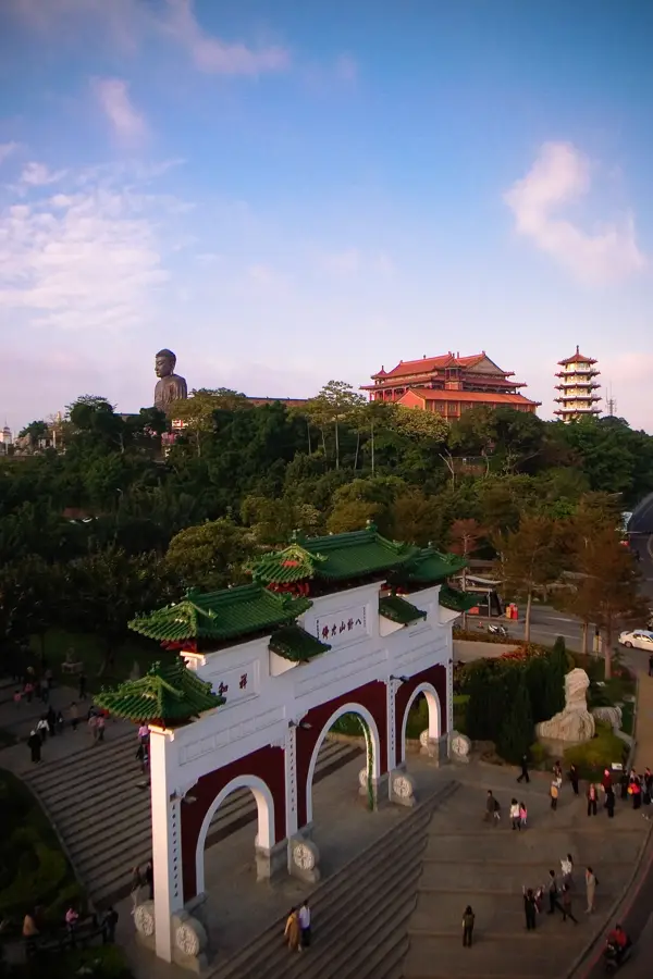


History & landmarks

More places