Plizio Visual Lab
Bakhuys Mountains

Weather…
Water temperature…
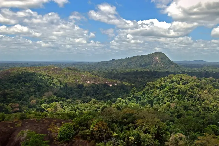
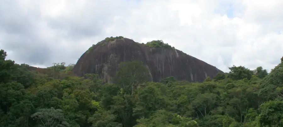
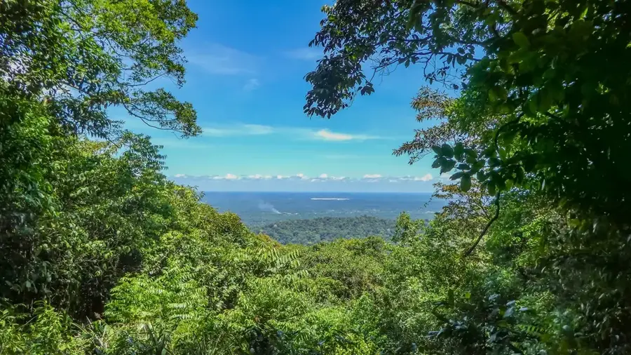
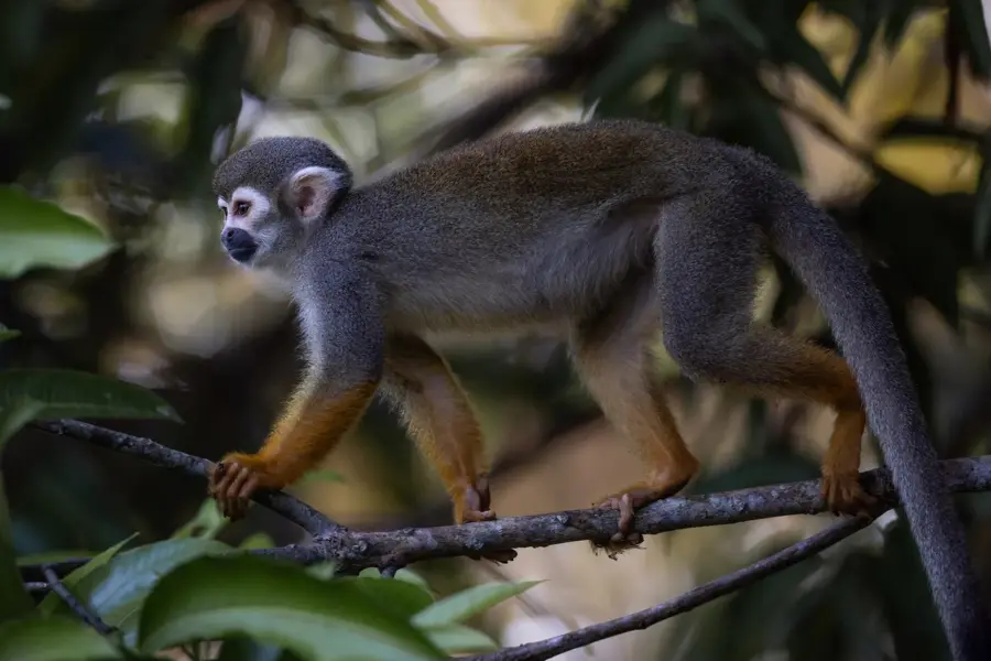
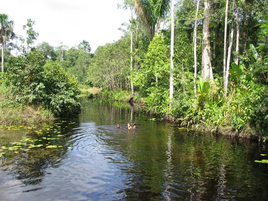
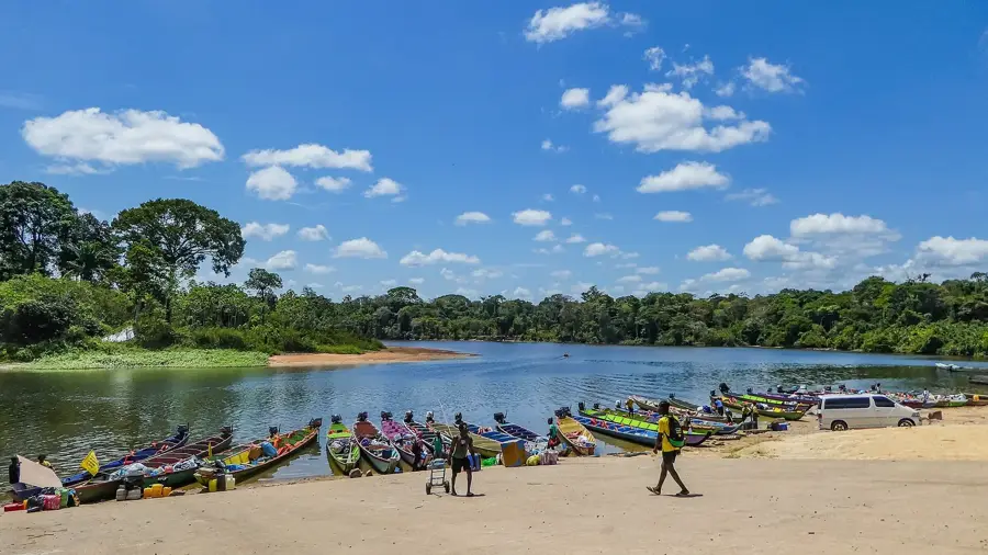
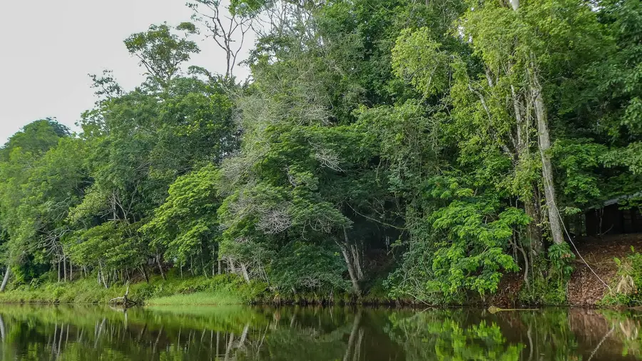
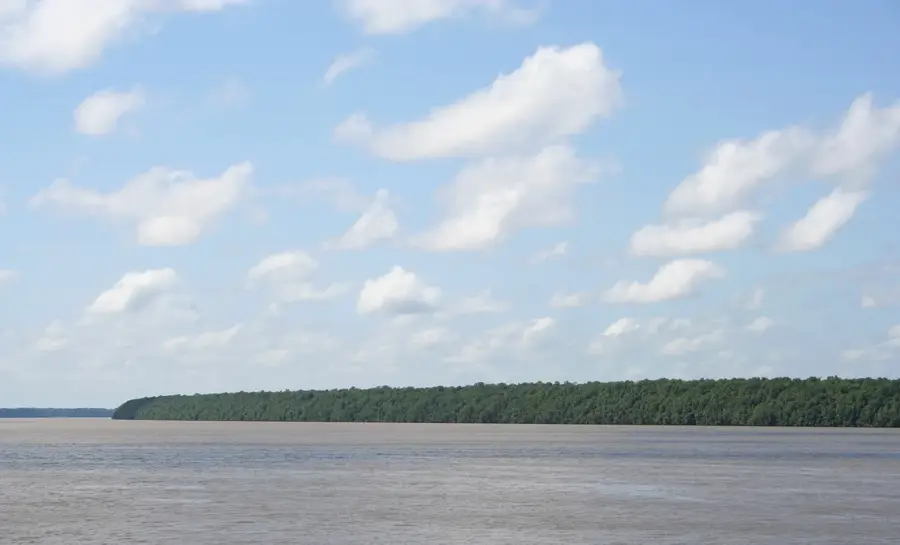
The Bakhuys Mountains are located in western Suriname within the Sipaliwini District and form part of the broader Guiana Shield mountain system. The range extends in a north-south direction and reaches elevations of approximately 500 to 600 meters above sea level. The mountains gained prominence primarily due to their extensive bauxite deposits, which were subject to intensive exploration during the late 20th century. Despite various plans for large-scale mining operations, the area has remained largely free from industrial exploitation so far, helping to preserve the dense primary rainforest. The region is hydrographically significant as it contains the source of many tributaries for the Nickerie and Kabalebo rivers. The local flora and fauna are characteristic of the Amazonian wilderness, featuring high densities of protected species such as jaguars and various birds of prey. Geologically, the range is defined by a complex structure of metamorphic rocks rich in iron and aluminum oxides.
📋 Practical info
Geography
Facts
- Elevations range between 500 and 600 meters.
- Known for vast deposits of high-grade bauxite.
- Located in the western part of Sipaliwini District.
- Acts as a watershed for the Kabalebo River system.
- Remains an uninhabited and densely forested area.
- Part of the ancient Guiana Shield geological formation.
Explore nearby
Notable places around
Route planner — Car & Motorhome
Where do you start? We build the route here, with stops and country notes along the way.
© OpenStreetMap contributors · OpenRouteService
Sights nearby
Frequently asked questions
Is the area accessible?
What is there to see?
Are there tourist trails?
Is it safe for solo travelers?
Why is the area known?
Bakhuys Mountains: where is it located?
Bakhuys Mountains: why is it worth visiting?

Nearby cities


History & landmarks


Nature
More places