Plizio Visual Lab
Coppename River
Weather…
Water temperature…
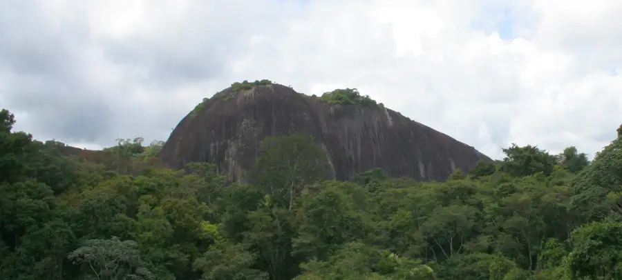
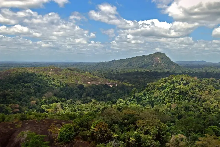
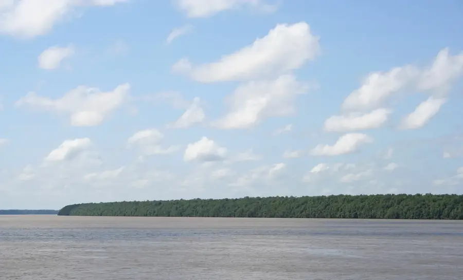
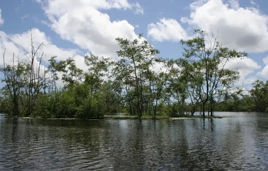
The Coppename River is one of the most significant waterways in central Suriname, originating in the Wilhelmina Mountains. It flows north for approximately 400 kilometers before reaching the Atlantic Ocean at a combined estuary with the Saramacca River. The river is notable for its pristine condition, as there are no large dams or industrial developments interrupting its natural flow. It traverses the Central Suriname Nature Reserve, acting as a lifeblood for numerous ecosystems along its banks. Most famous are the Raleigh Falls, a series of spectacular rapids that serve as a major destination for ecotourism. The river also functions as a vital transportation route for local communities in remote rainforest regions. Its banks are lined with dense primary forest, providing habitat for a vast array of fish, reptiles, and bird species.
- Location: Suriname
- Nearby: Bigi Pan (71 km)
Best time to visit & climate
The most pleasant time to visit is Feb, Sep, Oct.
| Jan | Feb | Mar | Apr | May | Jun | Jul | Aug | Sep | Oct | Nov | Dec | |
|---|---|---|---|---|---|---|---|---|---|---|---|---|
| Avg °C | 26 | 26 | 27 | 27 | 26 | 26 | 26 | 26 | 27 | 29 | 28 | 27 |
| Rain mm | 137 | 118 | 115 | 175 | 284 | 239 | 230 | 156 | 70 | 68 | 88 | 176 |
📋 Practical info
Geography
Facts
- Approximately 400 kilometers in length.
- Drains a basin area of roughly 21,700 square kilometers.
- Empties into the Atlantic Ocean via a shared estuary.
- Home to the famous Raleigh Falls rapids.
- Flows through the Central Suriname Nature Reserve.
- Supports a healthy population of Giant Otters.
Explore nearby
Notable places around
Route planner — Car & Motorhome
Where do you start? We build the route here, with stops and country notes along the way.
© OpenStreetMap contributors · OpenRouteService
Sights nearby
Frequently asked questions
Can you navigate the river?
Is there wildlife there?
Do you need a guide?
Is the water safe for swimming?
What is the best season?
Coppename River: where is it located?
Coppename River: when is the best time to visit?
Coppename River: why is it worth visiting?

Nearby cities

History & landmarks

Nature
More places