Plizio Visual Lab
Atjoni
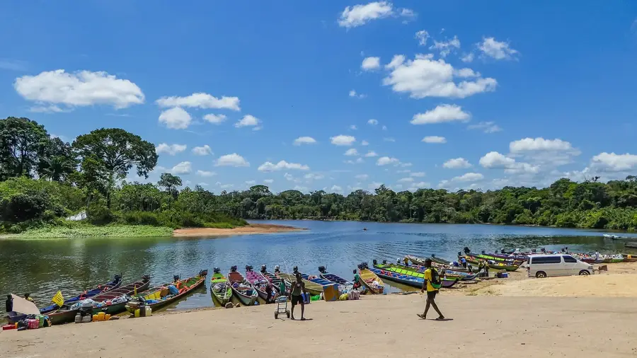
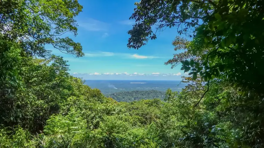
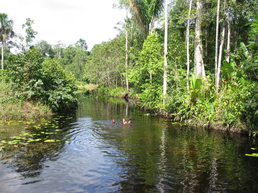
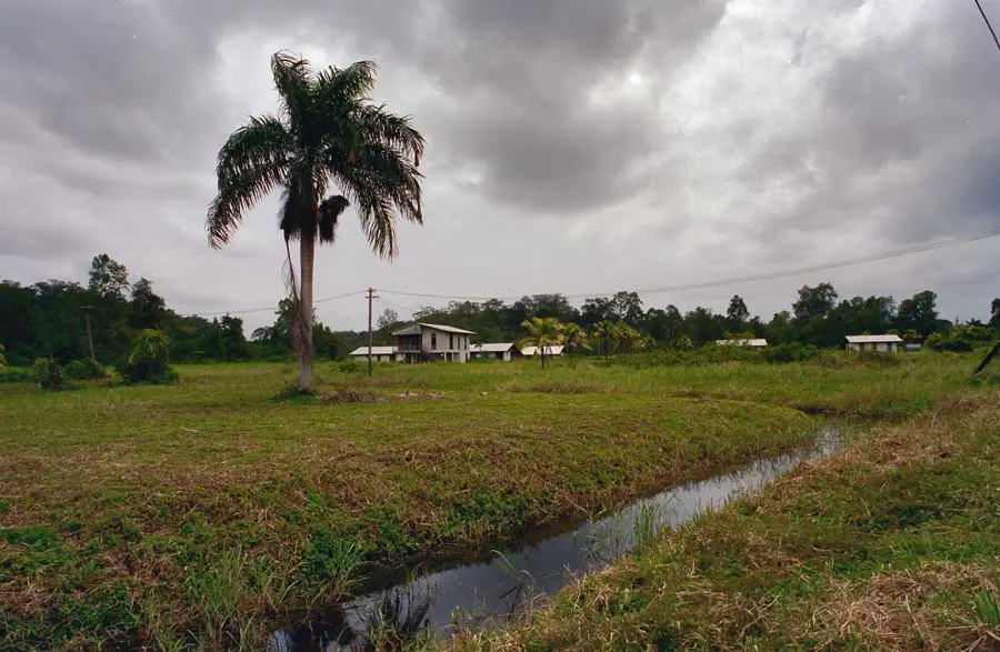
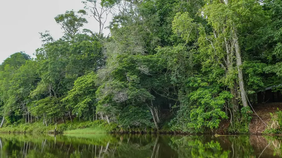
Atjoni is much more than just a parking lot; it is the pulsating hub of the Surinamese interior. This is where the paved road from Paramaribo ends and the river's domain begins. The riverbanks are lined with hundreds of colorful wooden canoes (korjaals) that transport goods, food, and passengers to remote Maroon villages deep in the jungle. It is a place filled with energy, where you can watch the busy trade and the skillful loading of narrow boats by local boatmen. For travelers, Atjoni is the final spot to stock up on supplies before heading out onto the water. Nearby, small cookshops offer simple but authentic Surinamese dishes. The atmosphere is deeply influenced by Saramaccaner culture, and rhythmic local music often blares from the speakers of small shops. The best time to experience the full activity is in the morning. While not a typical holiday destination with resorts, Atjoni is an essential part of any jungle expedition and features a fascinating look into rainforest logistics. The area is active year-round, with high water levels making boat trips upriver significantly faster.
- Location: Suriname
- Nearby: Danpaati (20 km)
📋 Practical info
Geography
Facts
- Most important transshipment point for the jungle
- End of the Afobaka Highway
- Hundreds of colorful korjaals at the shore
- Gateway to the Upper Suriname River
- Center of Saramaccaner logistics
- Last chance for supplies
- Very vibrant, authentic atmosphere
- No more asphalt south of this point
Explore nearby
Notable places around
Route planner — Car & Motorhome
Where do you start? We build the route here, with stops and country notes along the way.
© OpenStreetMap contributors · OpenRouteService
Sights in the town Atjoni (1)
Sights nearby
Frequently asked questions
Atjoni: where is it located?
Atjoni: why is it worth visiting?

Nearby cities

History & landmarks

More places