Plizio Visual Lab
Jebel Mimi
Weather…
Water temperature…
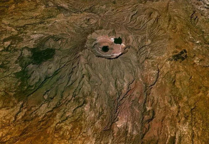
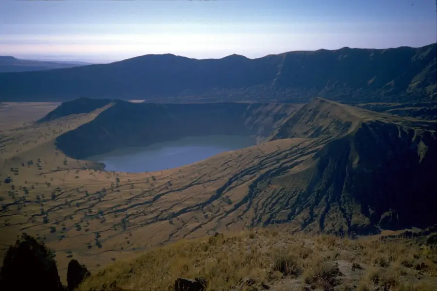
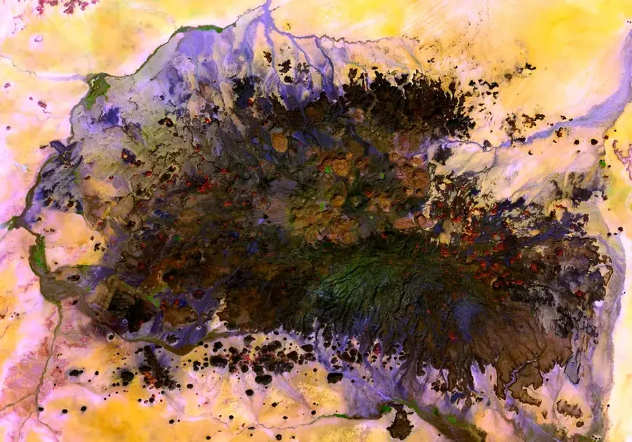
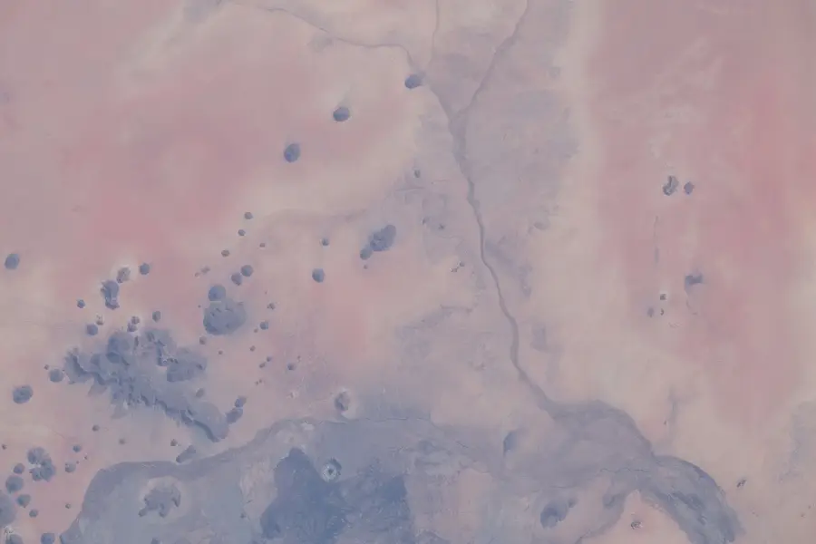
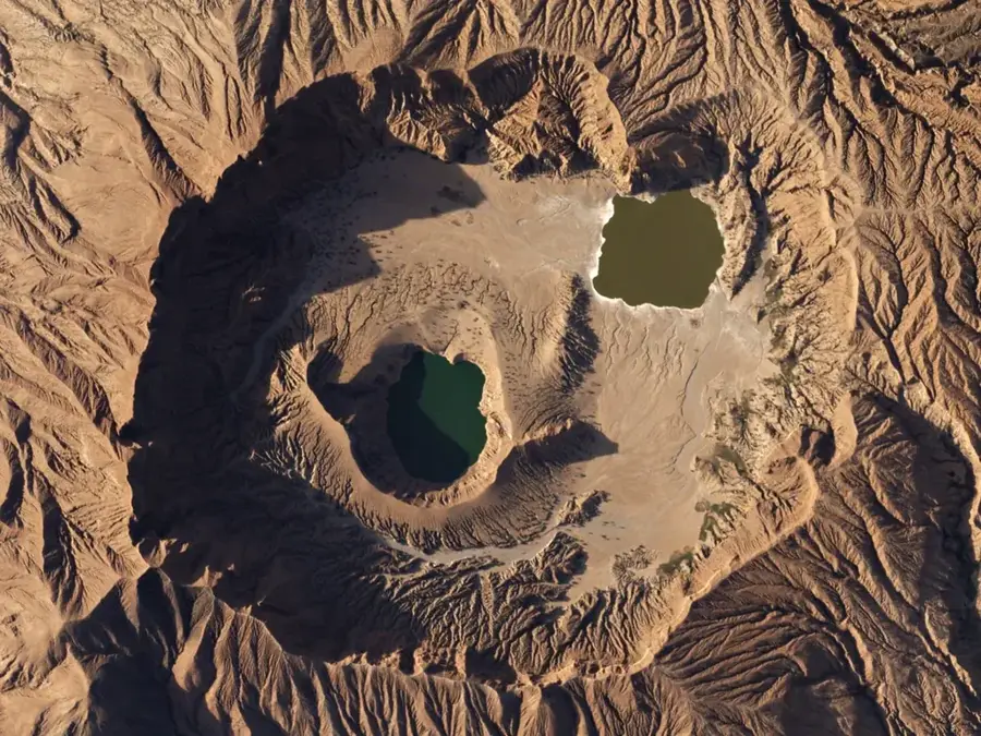
Jebel Mimi is a distinctive volcanic field located in the Darfur region of western Sudan, part of the larger Marra Mountains volcanic province. It consists of a collection of numerous small volcanic cones, lava flows, and craters that bear witness to the intense tectonic activity in this part of Africa. The geology of the area is dominated by basaltic rocks that formed during the late Cenozoic era. Geographically, Jebel Mimi is situated in a transition zone between the arid desert and the more fertile Sahel, giving it special ecological significance. The elevations trap moisture, supporting more resilient vegetation than the surrounding lowlands. Historically, the rugged formations provided shelter and served as landmarks for caravans. Scientifically, the field is of great interest for understanding the mechanisms of intraplate volcanism within the African rift system. Today, the area is largely uninhabited but remains an important component of Darfur's geological identity.
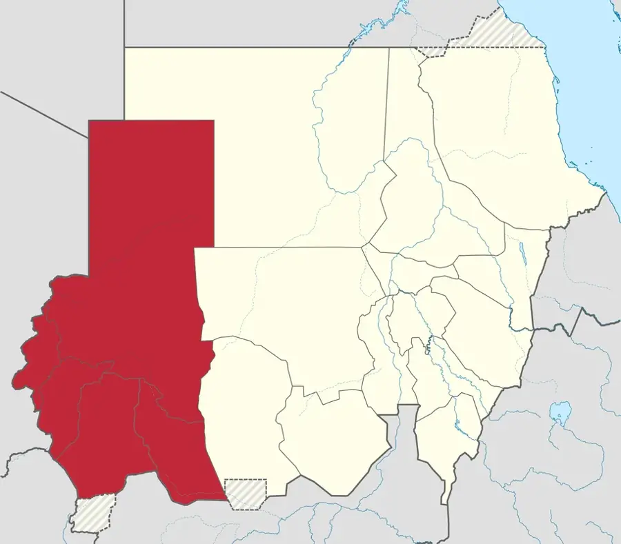
- Location: Sudan
- Nearby: Mellit (70 km)
Best time to visit & climate
The most pleasant time to visit is Jan, Feb, Dec.
| Jan | Feb | Mar | Apr | May | Jun | Jul | Aug | Sep | Oct | Nov | Dec | |
|---|---|---|---|---|---|---|---|---|---|---|---|---|
| Avg °C | 20 | 23 | 26 | 29 | 31 | 32 | 30 | 28 | 29 | 28 | 24 | 20 |
| Rain mm | 0 | 0 | 0 | 0 | 9 | 13 | 66 | 103 | 35 | 8 | 0 | 0 |
📋 Practical info
Geography
Facts
- Jebel Mimi is part of the Darfur volcanic province in western Sudan.
- The field contains over 100 individual volcanic vents and cones.
- Volcanic activity in this region began approximately 15 million years ago.
- The rocks are mainly composed of alkaline basalt and trachyte.
- It is located northeast of the main Jebel Marra massif.
- The region shows signs of Quaternary volcanism, which is geologically young.
Explore nearby
Notable places around
Route planner — Car & Motorhome
Where do you start? We build the route here, with stops and country notes along the way.
© OpenStreetMap contributors · OpenRouteService
Sights nearby
Frequently asked questions
Is Jebel Mimi a popular destination?
What do I need for a trip?
Are there any sights?
When is the best time to visit?
Is wild camping possible?
Jebel Mimi: where is it located?
Jebel Mimi: when is the best time to visit?
Jebel Mimi: why is it worth visiting?

Nearby cities

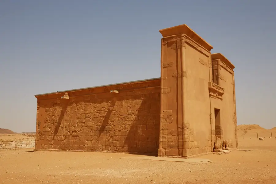
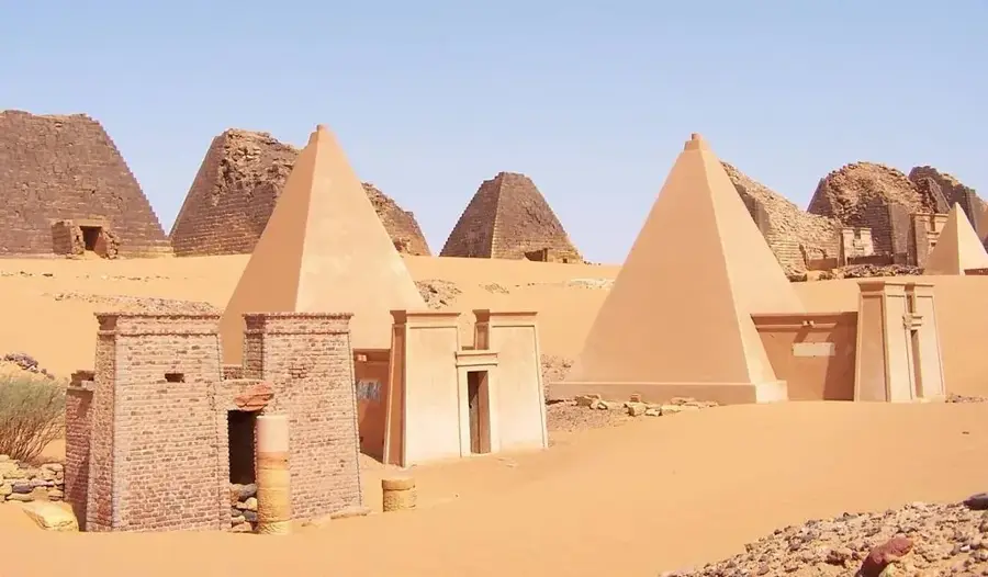
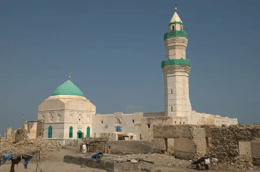
History & landmarks
Nature
More places