Plizio Visual Lab
Sinkat
ℹ️Practical info — Sinkat
▾
🌤 Weather — 5 days
📍 Nearby
Sights nearby
💡 Tips
- Dress modestly, respecting local Islamic customs and the conservative culture.
- Cash is essential as credit cards are rarely accepted; bring enough Sudanese Pounds.
- The climate is very hot; travel and explore during the early morning or late afternoon.
- Engage respectfully with locals; a few words in Arabic go a long way.
- Transportation is mostly by local minibusses or shared taxis (amjad); agree on fares beforehand.
🍽 Food
Slow-cooked fava beans, typically eaten with bread for breakfast at local street stalls.
Spiced coffee served in small cups at roadside cafes.
Spiced and grilled meat available at local evening markets.
🛍 Shopping · 🧘 Quiet spots
The central market for spices, fresh produce, and everyday items.
Look for woven baskets and pottery made by local artisans in the market area.
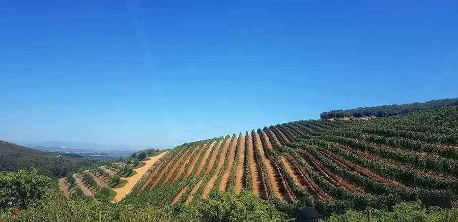
The surrounding rocky landscapes offer quiet spots for contemplation just outside the town.
Peaceful areas for rest, especially outside prayer times (always be respectful and ask permission if unsure).
Water temperature…
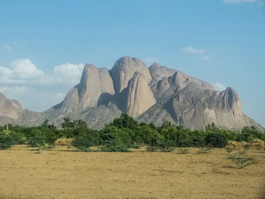
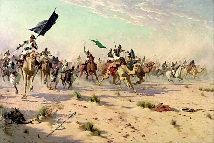
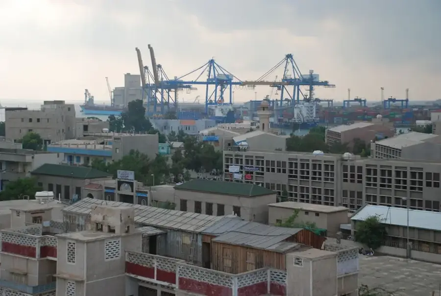
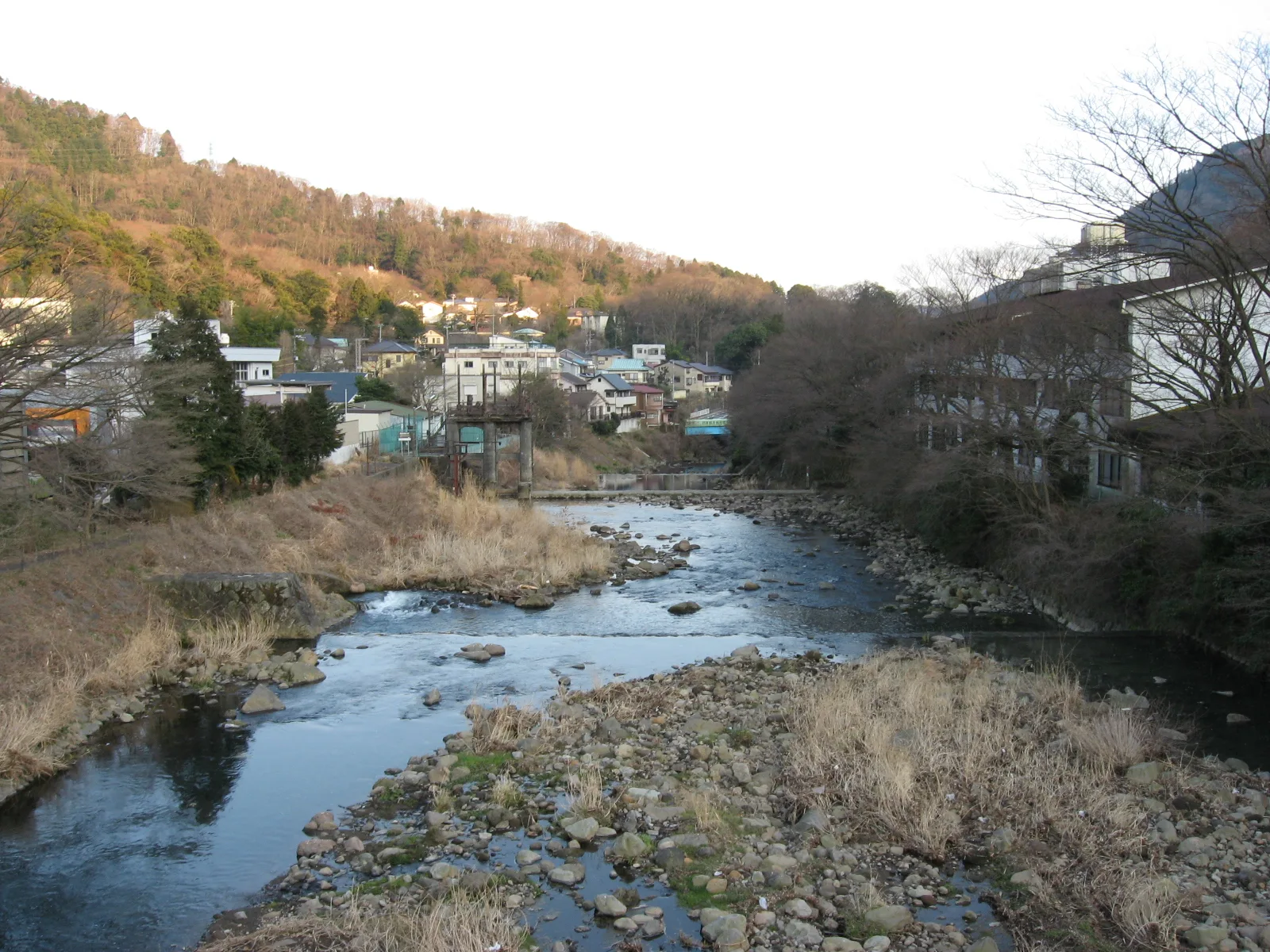
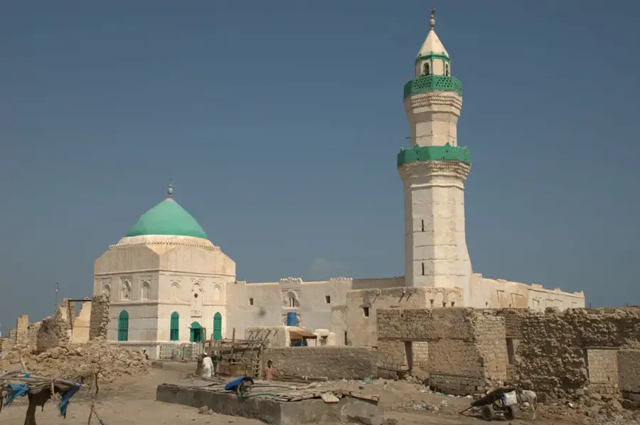
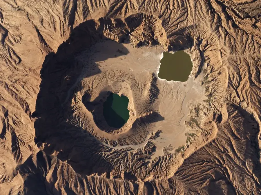
Sinkat is a historic mountain town in the Red Sea State of Sudan, located approximately 80 kilometers southwest of Port Sudan. Situated in the Red Sea Hills at an elevation of over 800 meters, the town enjoys a significantly cooler and more pleasant climate compared to the sweltering coastal plains. Historically, Sinkat rose to prominence during the Mahdist War in the late 19th century as a strategic garrison and the site of fierce battles between Mahdist forces and Anglo-Egyptian troops. Geographically, the area is defined by rugged granite peaks and seasonal dry valleys (wadis) that briefly turn green after rainfall. The town serves as a spiritual and cultural hub for the Beja people, housing the tombs of local Sufi saints which attract pilgrims from across the region. Today, Sinkat is an important waypoint on the main road to the Red Sea coast and is renowned for its animated traditional markets.
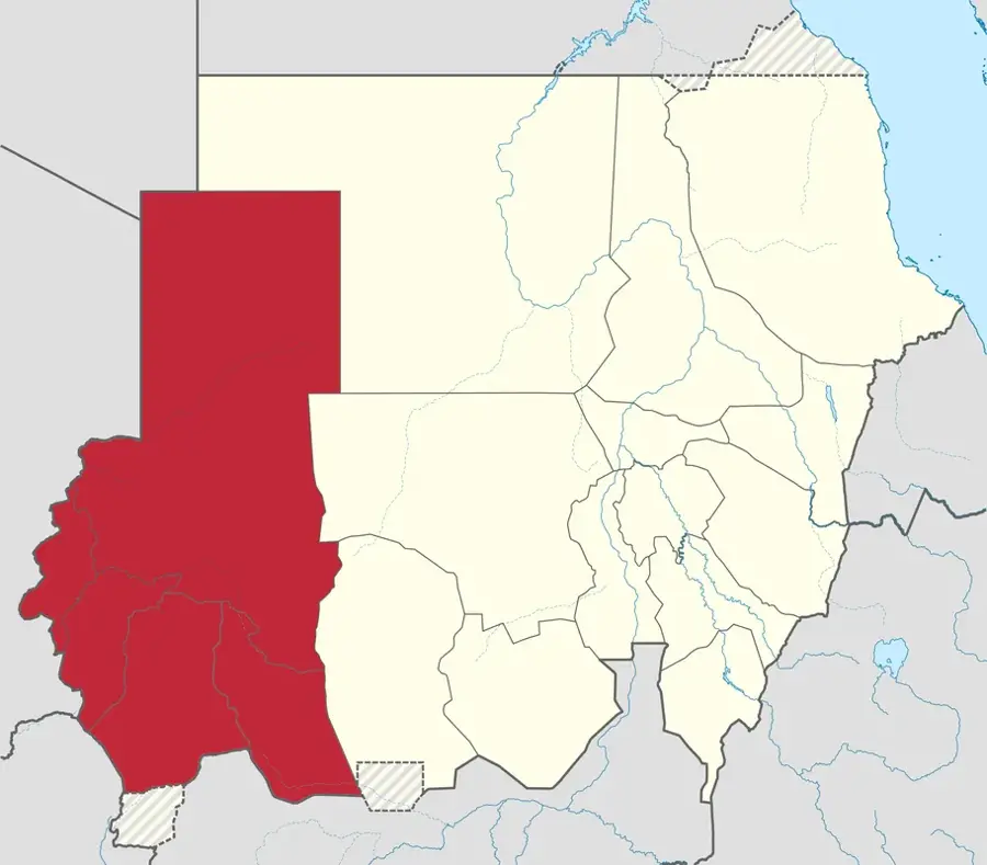
- Location: Sudan
- Nearby: Erkowit (31 km)
- Population: ~35.617 (2024)
Best time to visit & climate
The most pleasant time to visit is Feb, Mar, Dec.
| Jan | Feb | Mar | Apr | May | Jun | Jul | Aug | Sep | Oct | Nov | Dec | |
|---|---|---|---|---|---|---|---|---|---|---|---|---|
| Avg °C | 19 | 20 | 22 | 25 | 29 | 33 | 33 | 33 | 31 | 27 | 24 | 21 |
| Rain mm | 5 | 2 | 1 | 4 | 4 | 0 | 5 | 9 | 2 | 8 | 11 | 8 |
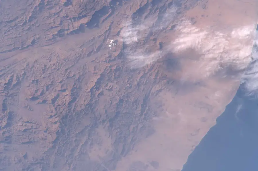
Geography
Facts
- Sinkat is situated in the Red Sea Hills at a strategic elevation of about 850 meters.
- The town was a major theater of operations during the Mahdist Revolt in 1883.
- Sinkat is recognized as the spiritual center for the Beja tribes in the region.
- Due to its altitude, the town often serves as a retreat from the summer heat of the coast.
- The town is located directly on the primary highway between Port Sudan and Khartoum.
- Significant Sufi shrines and historical burial sites are located in the vicinity.
Explore nearby
Notable places around
Route planner — Car & Motorhome
Where do you start? We build the route here, with stops and country notes along the way.
© OpenStreetMap contributors · OpenRouteService
Sights in the town Sinkat (1)
Frequently asked questions
What characterizes Sinkat?
Why travel here?
How is the travel time?
How to get there?
How long to stay?
Sinkat: where is it located?
Sinkat: when is the best time to visit?
Sinkat: why is it worth visiting?

Nearby cities

History & landmarks
Nature

More places