Plizio Visual Lab
Shalfak

Weather…
Water temperature…
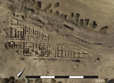
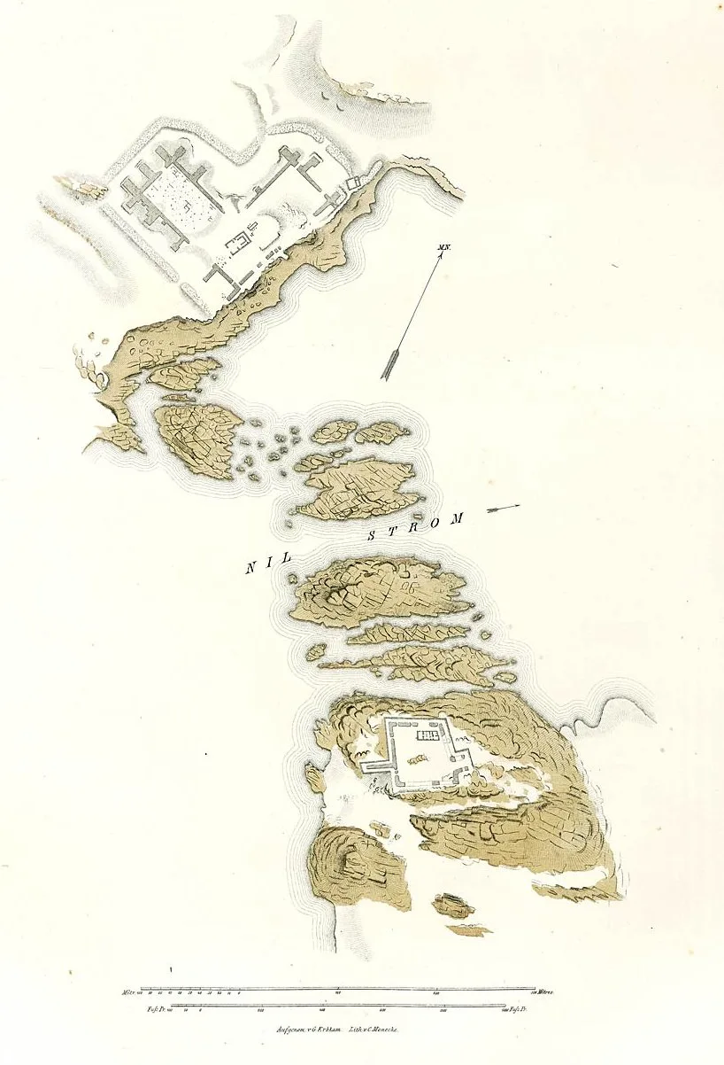
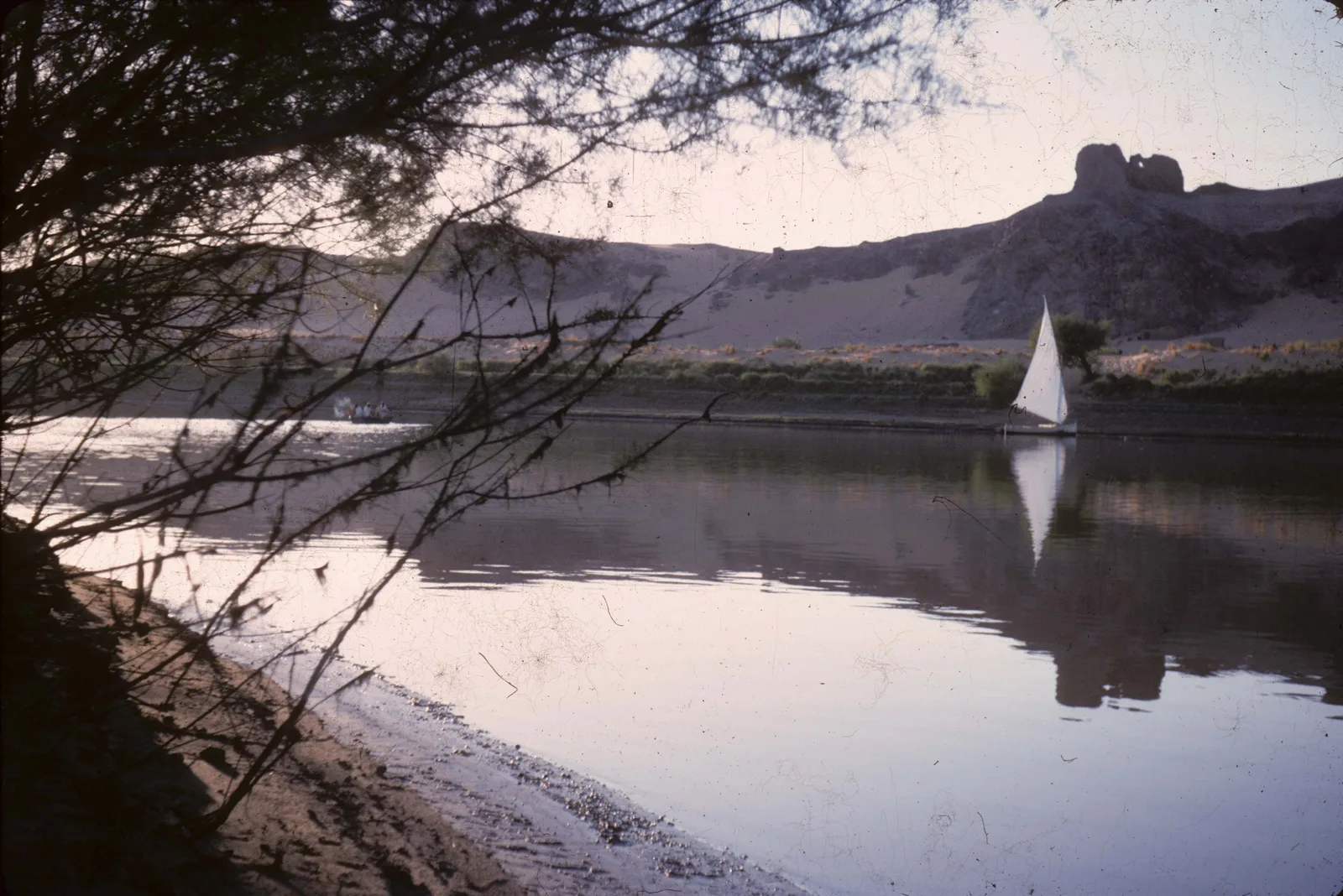
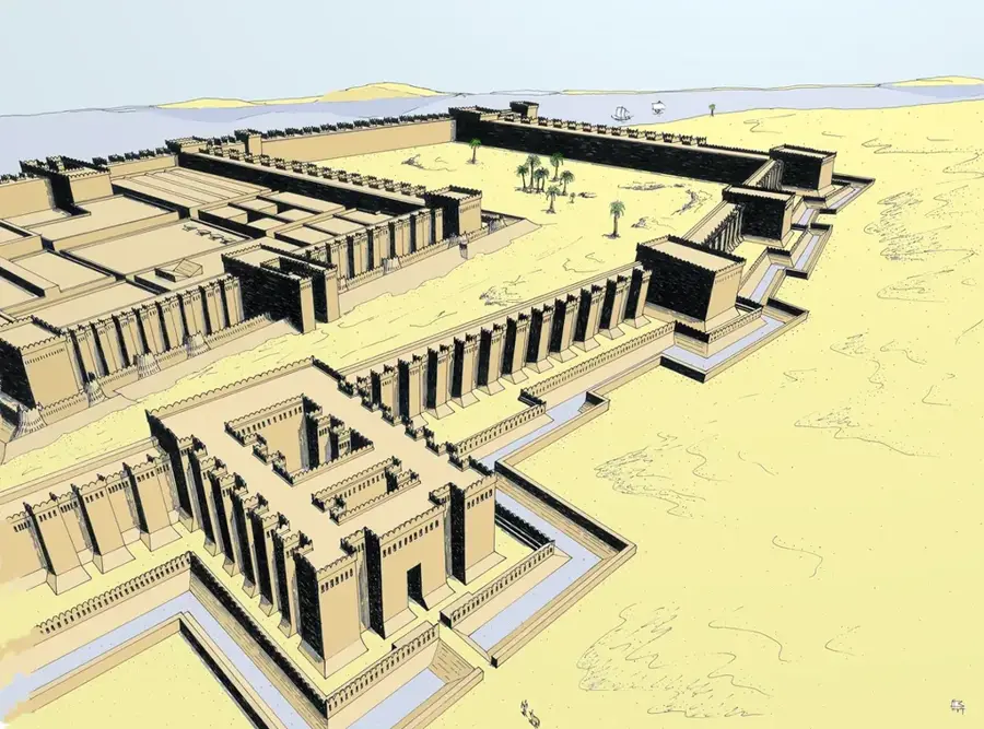
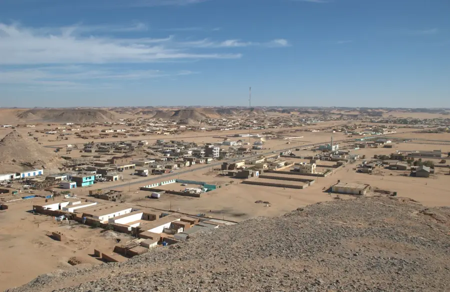
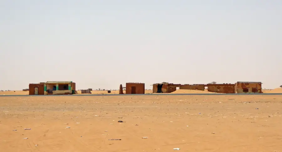
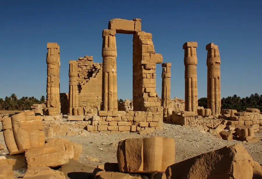
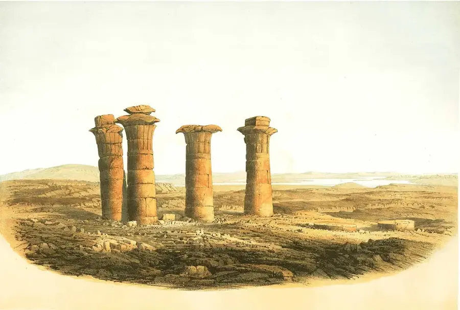
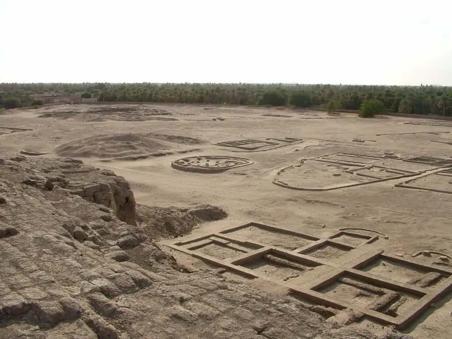
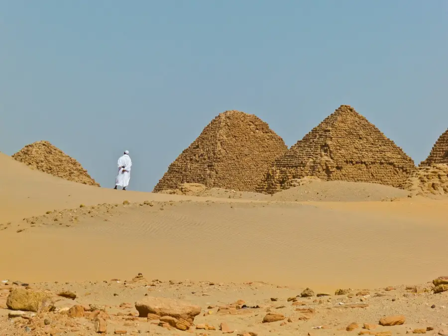
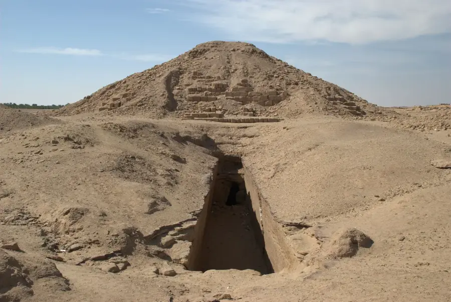
Shalfak was a meticulously designed military outpost of the Middle Kingdom, situated on a high rocky ridge on the west bank of the Nile. Built during the reign of Senusret III around 1850 BC, it was part of the strategic chain of forts that monitored the Second Cataract region. Its position offered an excellent vantage point for observing any movement along the river or through the desert wadis, acting as a crucial early-warning station. The fort's walls were built to follow the natural contours of the hill, creating a formidable defensive perimeter that integrated the steep cliffs into its security plan. Inside, the fort contained structured barracks and administrative units, suggesting a highly organized military presence. Despite its smaller size compared to Buhen or Mirgissa, Shalfak's design was highly efficient, maximizing defensive capabilities with minimal manpower. The site was lost to the waters of Lake Nasser in the 1960s, but its detailed plans and the artifacts recovered continue to serve as a benchmark for the study of ancient Egyptian military engineering.
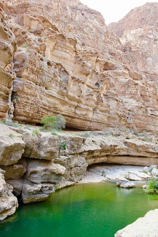
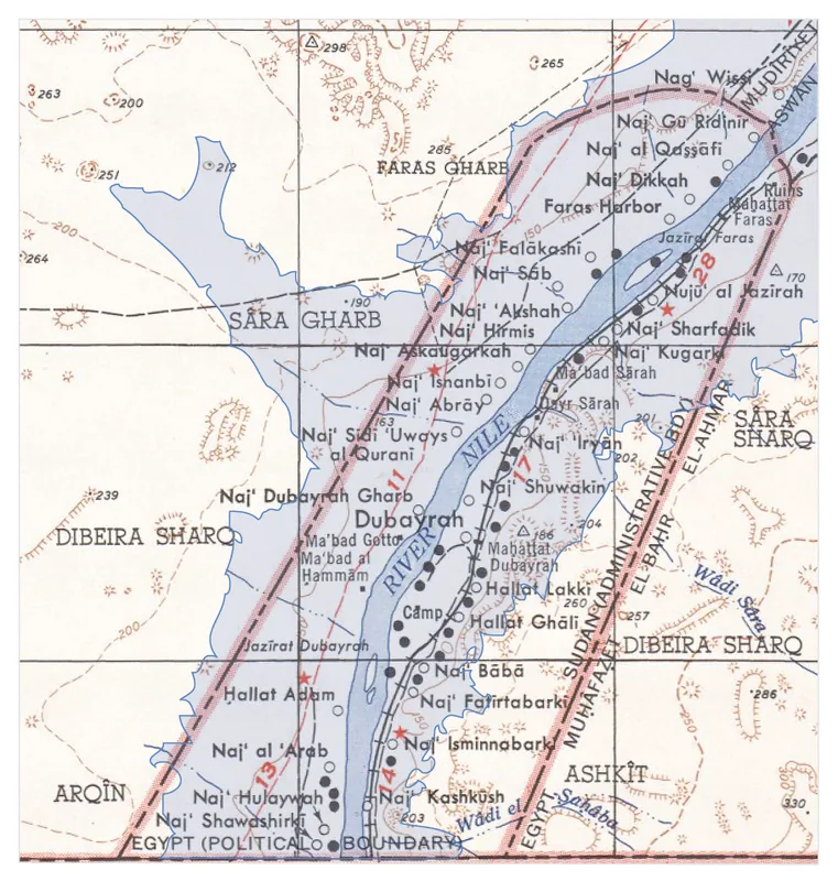
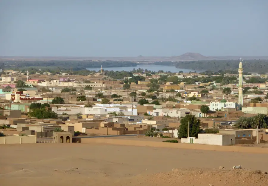
- Location: Sudan
- Nearby: Wadi Halfa (42 km)
Best time to visit & climate
The most pleasant time to visit is Feb, Mar, Nov.
| Jan | Feb | Mar | Apr | May | Jun | Jul | Aug | Sep | Oct | Nov | Dec | |
|---|---|---|---|---|---|---|---|---|---|---|---|---|
| Avg °C | 15 | 18 | 22 | 27 | 31 | 33 | 34 | 34 | 32 | 28 | 22 | 17 |
| Rain mm | 0 | 0 | 0 | 0 | 0 | 0 | 0 | 0 | 0 | 0 | 0 | 0 |
📋 Practical info
Geography
Facts
- Built by Senusret III in the 19th century BC.
- Strategically perched on a high rocky ridge.
- Monitored desert wadis and Nile river traffic.
- Efficiently designed for a small, elite garrison.
- Walls incorporated the natural cliffside for defense.
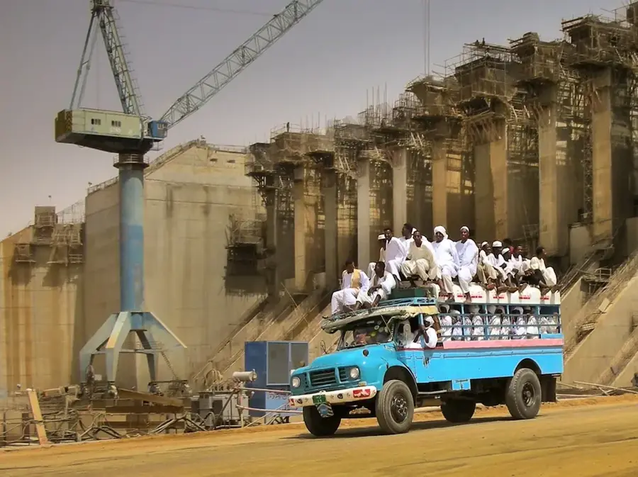
- Submerged by the Aswan High Dam floodwaters.
Explore nearby
Notable places around
Route planner — Car & Motorhome
Where do you start? We build the route here, with stops and country notes along the way.
© OpenStreetMap contributors · OpenRouteService
Sights in the town Shalfak (1)
Sights nearby
Frequently asked questions
What is the best way to reach Shalfak?
What is the best time of year to visit?
Are there sanitary facilities on-site?
How long does a visit take?
Is photography allowed at the ruins?
Shalfak: where is it located?
Shalfak: when is the best time to visit?
Shalfak: why is it worth visiting?

Nearby cities

History & landmarks
More places