Plizio Visual Lab
Mirgissa
Weather…
Water temperature…
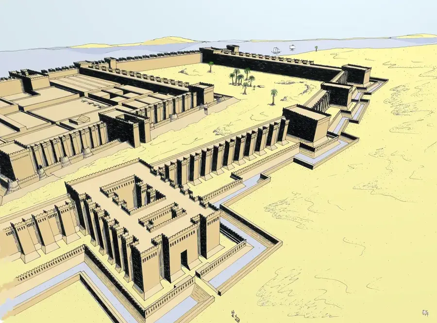
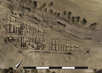
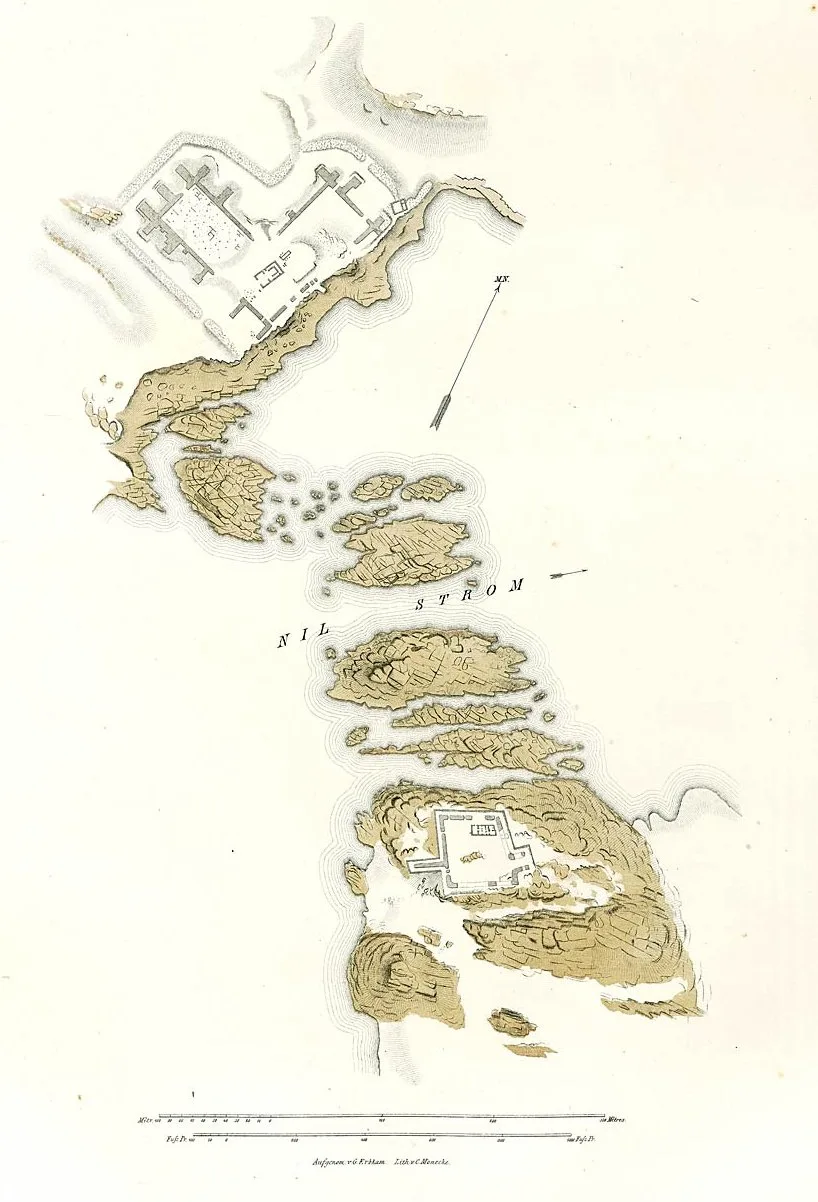
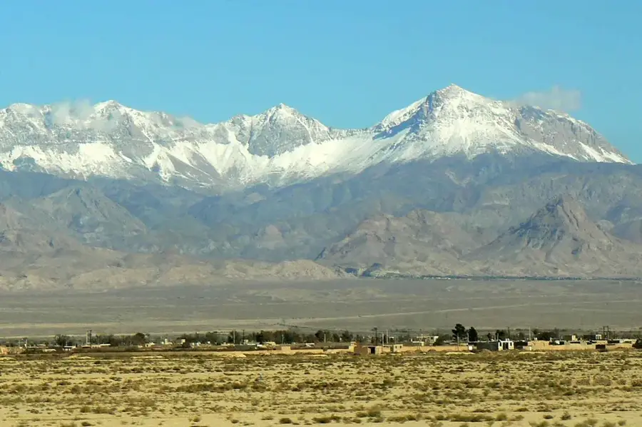
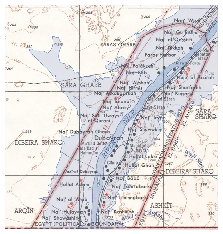
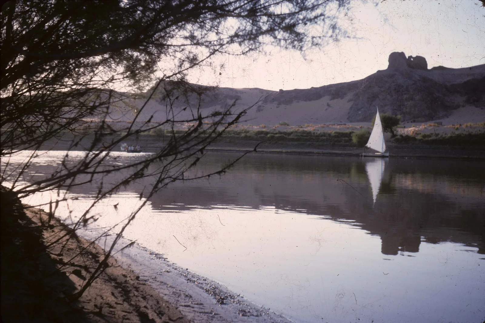
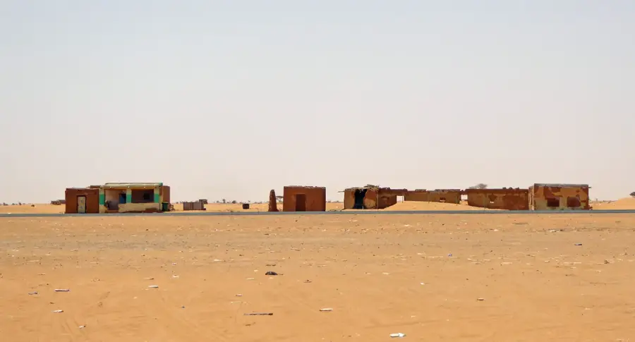
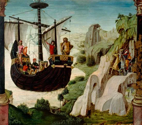
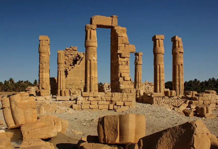
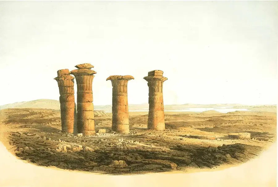
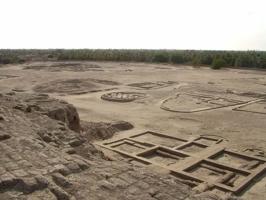
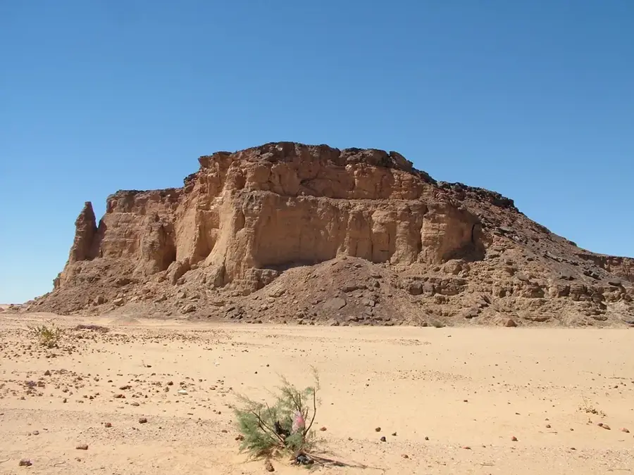
Mirgissa was a colossal fortress and commercial hub situated on the west bank of the Nile, serving as the southern gateway to the Egyptian Empire during the Middle Kingdom. Built during the Twelfth Dynasty, likely under Senusret III, it was one of the largest mud-brick structures in the ancient world, covering over 40,000 square meters. A unique feature of Mirgissa was its 2-kilometer-long mud-brick slipway, which allowed boats to be hauled overland past the treacherous rapids of the Second Cataract. This innovation facilitated continuous trade and military movement between Egypt and the resource-rich lands of Upper Nubia. The site also contained a large town, a cemetery, and specialized workshops for pottery and stone working, indicating a high level of economic self-sufficiency. Like many other Nubian forts, Mirgissa was submerged by the waters of the Aswan High Dam in the 1960s. Nevertheless, the archaeological data recovered before the flood revealed complex social hierarchies and advanced logistical capabilities, highlighting its vital role.
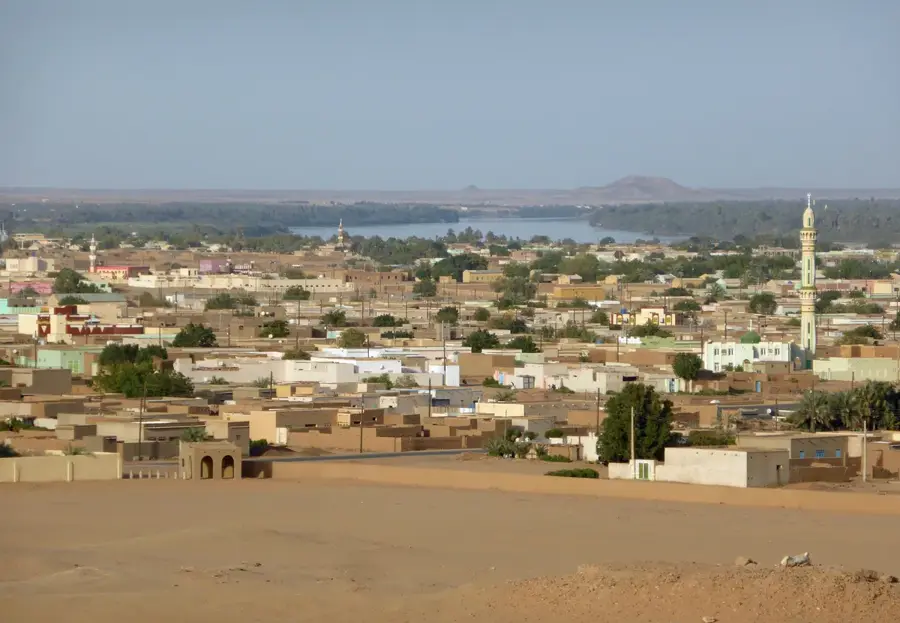
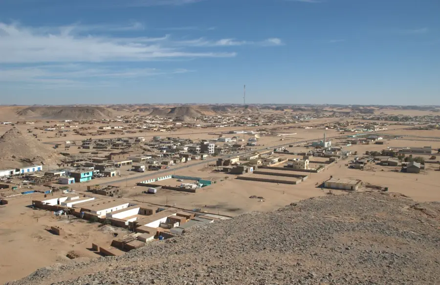
- Location: Sudan
- Nearby: Wadi Halfa (22 km)
Best time to visit & climate
The most pleasant time to visit is Feb, Mar, Nov.
| Jan | Feb | Mar | Apr | May | Jun | Jul | Aug | Sep | Oct | Nov | Dec | |
|---|---|---|---|---|---|---|---|---|---|---|---|---|
| Avg °C | 15 | 18 | 22 | 27 | 31 | 33 | 34 | 34 | 32 | 28 | 21 | 17 |
| Rain mm | 0 | 0 | 0 | 0 | 0 | 0 | 0 | 0 | 0 | 0 | 0 | 0 |
📋 Practical info
Geography
Facts
- Massive fort covering roughly 40,000 square meters.
- Features a unique 2-kilometer boat slipway.
- Built during the 12th Dynasty of Egypt.
- Served as a major trade depot for gold and ivory.
- Site includes a specialized cemetery for soldiers.
- Lost to the rising waters of the Nile in 1960.
Explore nearby
Notable places around
Route planner — Car & Motorhome
Where do you start? We build the route here, with stops and country notes along the way.
© OpenStreetMap contributors · OpenRouteService
Sights nearby
Frequently asked questions
What is Mirgissa?
How is access?
Are there tourist instructions there?
Can you see the remains?
Is it worth it?
Mirgissa: where is it located?
Mirgissa: when is the best time to visit?
Mirgissa: why is it worth visiting?

Nearby cities
History & landmarks
More places