Plizio Visual Lab
Semna
Weather…
Water temperature…
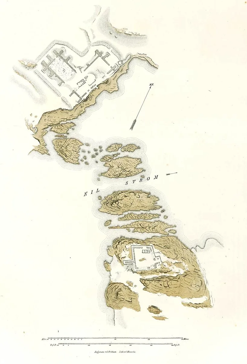
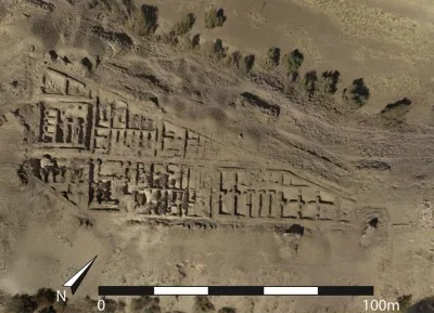
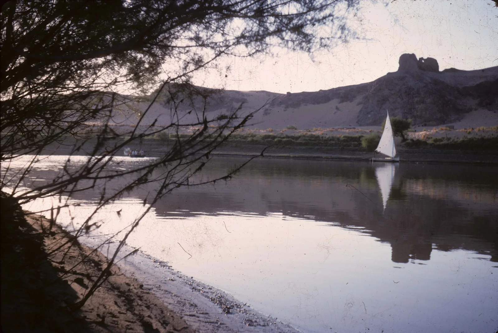
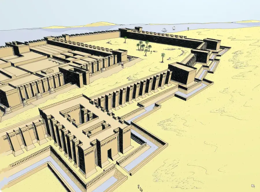
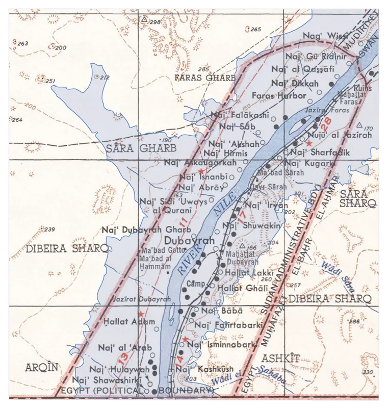
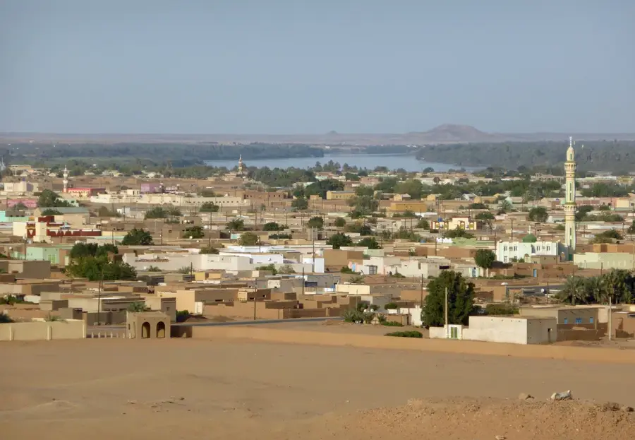
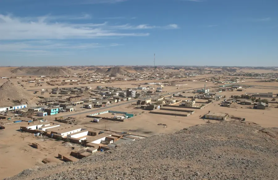
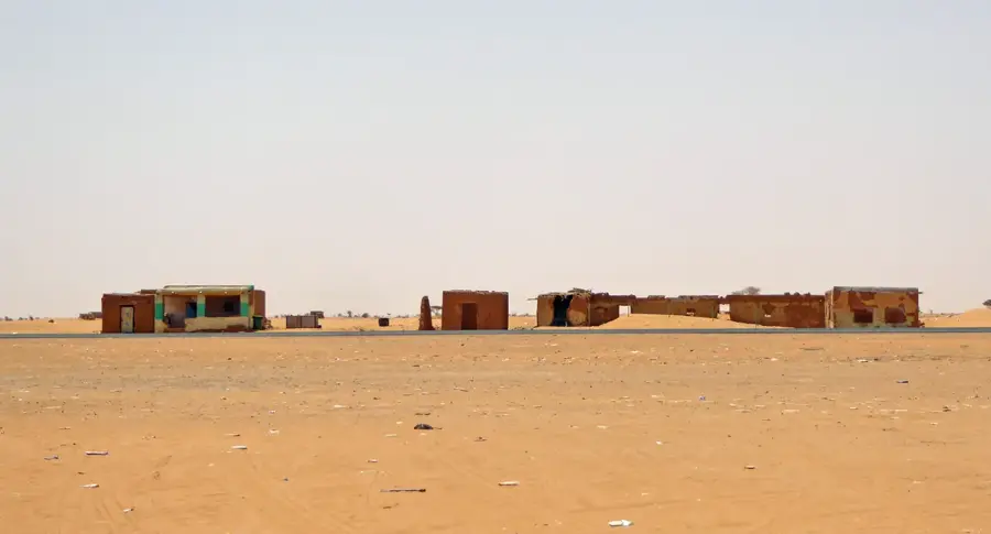
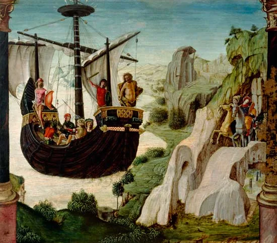
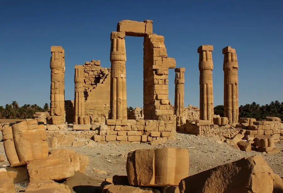
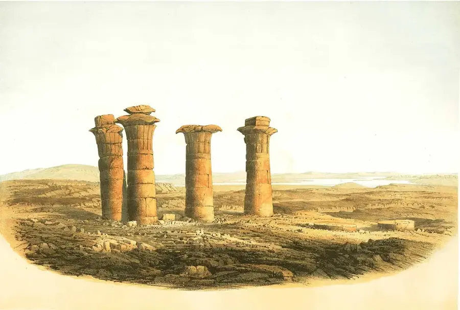
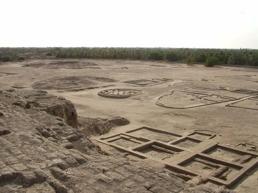
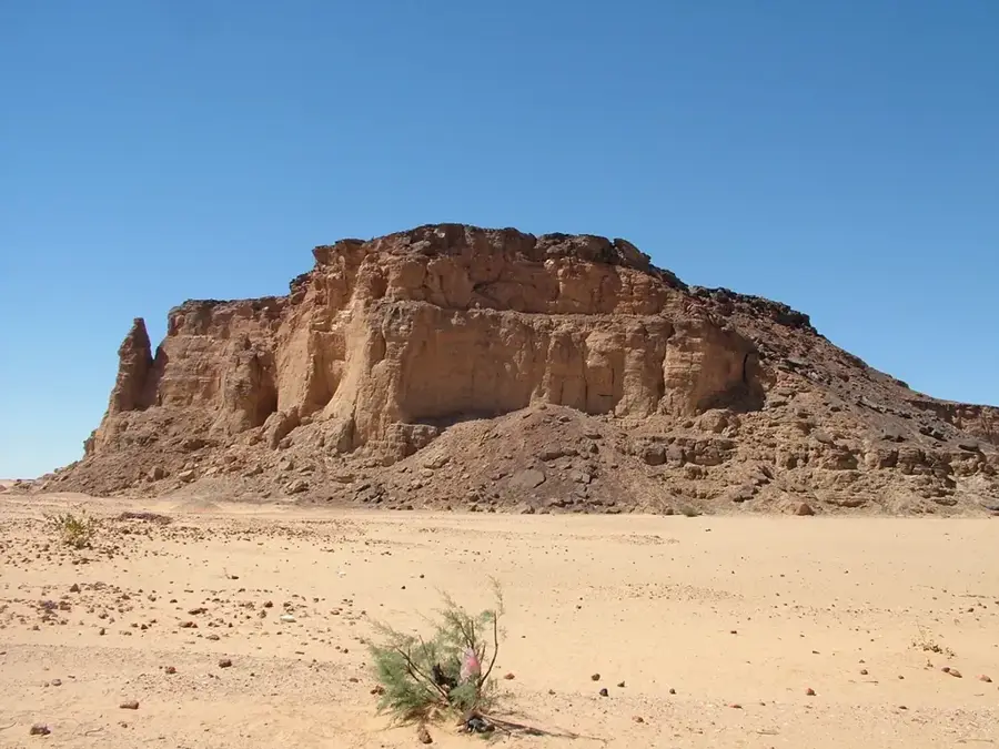
Semna was a strategic military fortress established by the Egyptian Pharaoh Senusret III during the Middle Kingdom, around 1850 BC. Located at the Second Cataract of the Nile, it formed part of a sophisticated chain of fortifications designed to control the southern border of Egypt and monitor trade routes from Nubia. The fortress was built primarily of mud-brick and featured elaborate defensive systems, including thick walls, bastions, and a ditch. Together with the neighboring fort at Kumma, it controlled the narrowest point of the Nile in the region. Archaeological evidence suggests that the fort was not only a military garrison but also an administrative hub where Nile water levels were meticulously recorded, as seen in the Nilometer inscriptions. Although the site was partially submerged following the construction of the Aswan High Dam in the 1960s, its records remain vital for understanding ancient Egyptian hydrology and military strategy, showcasing the centralized power of the Twelfth Dynasty.
- Location: Sudan
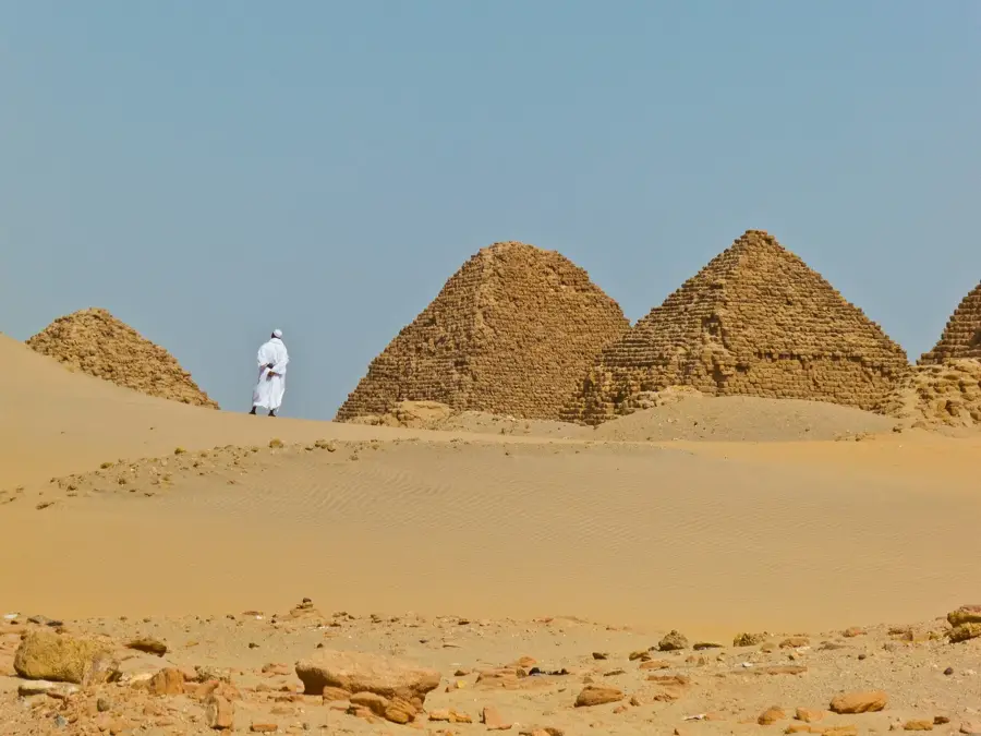
- Top sights: Kumma (Nubia) · Semna (Nubia) · Mirgissa
- Nearby: Wadi Halfa (52 km)
Best time to visit & climate
The most pleasant time to visit is Feb, Mar, Nov.
| Jan | Feb | Mar | Apr | May | Jun | Jul | Aug | Sep | Oct | Nov | Dec | |
|---|---|---|---|---|---|---|---|---|---|---|---|---|
| Avg °C | 15 | 18 | 22 | 27 | 31 | 33 | 34 | 34 | 32 | 28 | 22 | 17 |
| Rain mm | 0 | 0 | 0 | 0 | 0 | 0 | 0 | 0 | 0 | 0 | 0 | 0 |
📋 Practical info
Geography
Facts
- Built by Senusret III around 1850 BC.
- Monitored the Nile's Second Cataract border.
- Features ancient Nilometer inscriptions on rocks.
- Part of a chain of 17 Nubian forts.
- Submerged by Lake Nasser in the late 1960s.
- Mud-brick walls reached heights of 10 meters.
Explore nearby
Notable places around
Route planner — Car & Motorhome
Where do you start? We build the route here, with stops and country notes along the way.
© OpenStreetMap contributors · OpenRouteService
Sights in the town Semna (3)
Sights nearby
Frequently asked questions
Why was Semna important?
Are ruins visible?
Is the site hard to reach?
Are there shady spots?
How much time to plan?
Semna: where is it located?
Semna: what is there to see?
Semna: when is the best time to visit?
Semna: why is it worth visiting?

Nearby cities
History & landmarks
More places