Plizio Visual Lab
Mullaitivu
ℹ️Practical info — Mullaitivu
▾
🌤 Weather — 5 days
📍 Nearby
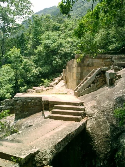
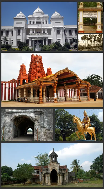
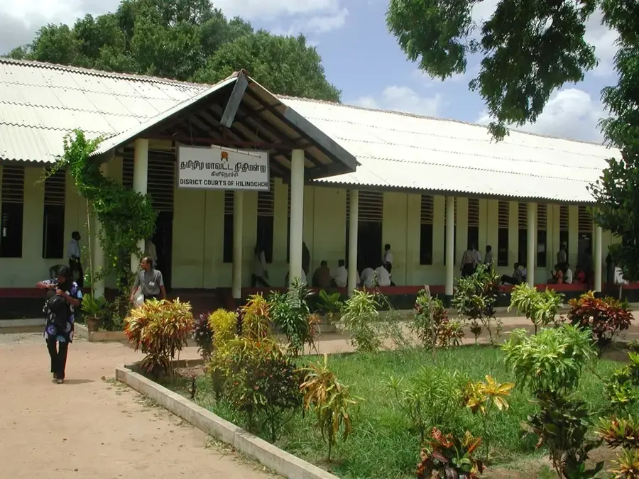
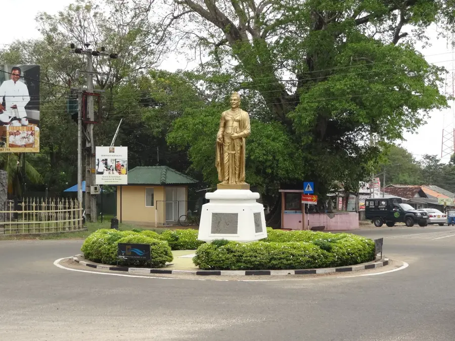
Sights nearby
💡 Tips
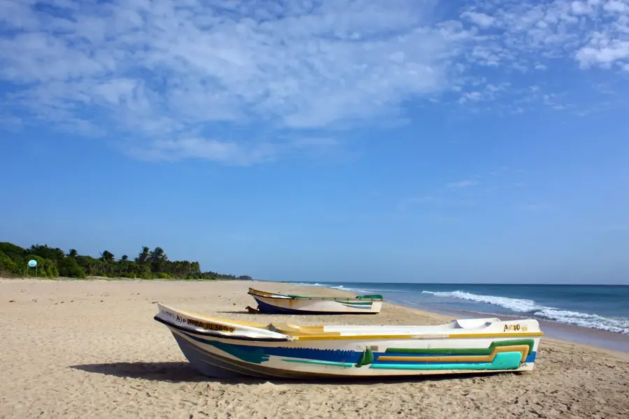
- Visit the beaches early in the morning to see the local fishermen bringing in their catch.
- Be mindful of military zones in the area; avoid photographing restricted areas.
- Rent a scooter for easy access to the long stretches of coastline.
- Carry sufficient cash, as ATMs are scarce outside the town center.
- Sun protection is essential, as shaded areas are limited on the wide beaches.
🍽 Food
Fresh seafood curry at the restaurants right on the beachfront.
Popular street food found at the stalls near the main market.
Traditional breakfast served in small local eateries.
🛍 Shopping · 🧘 Quiet spots
Visit the market near the fishing harbor for the freshest catch.
Small shops in the town center offer handmade souvenirs.
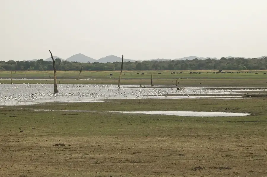
The edges of the lagoon are handy for quiet bird watching.
Quiet stretches of beach away from the center are great for a stroll.
Water temperature…
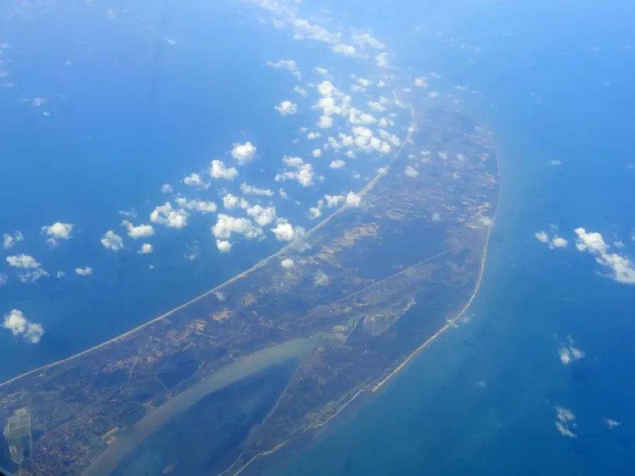
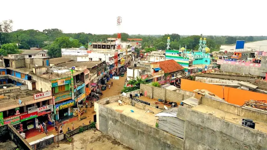
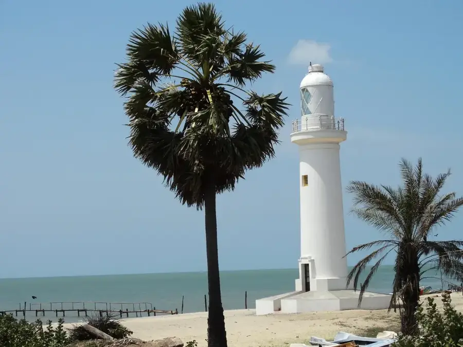
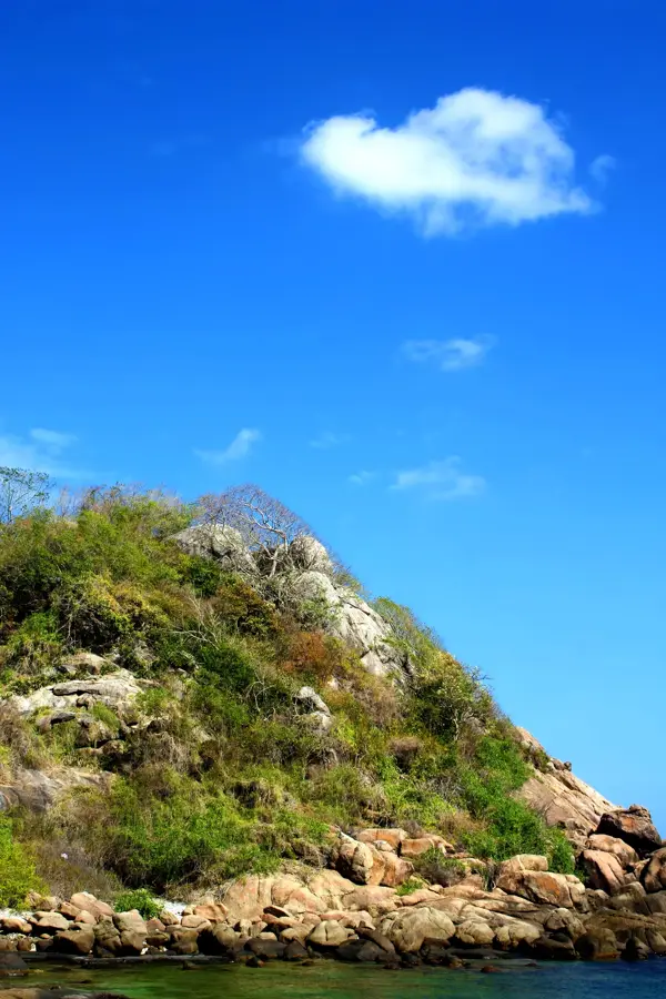
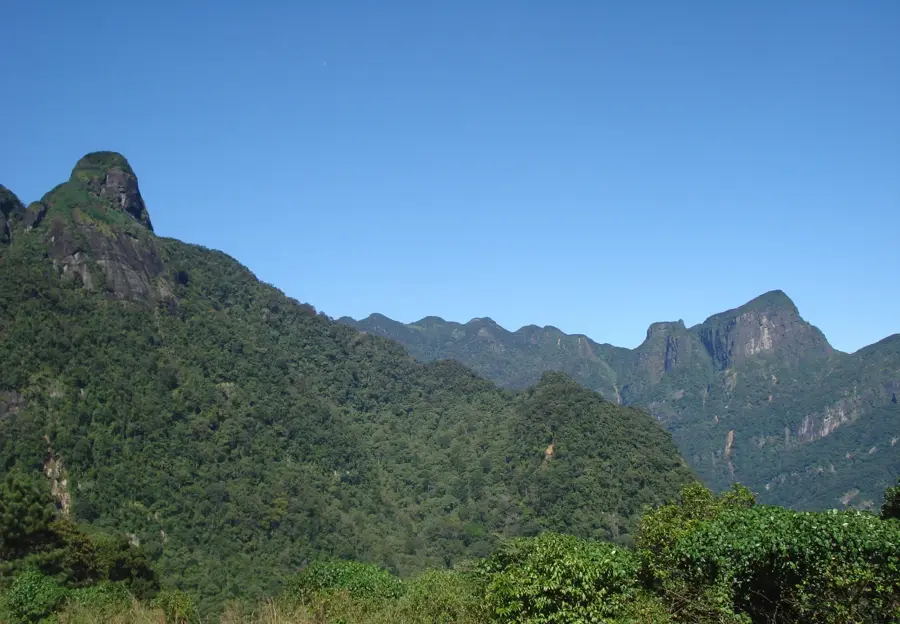
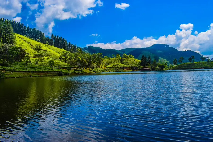
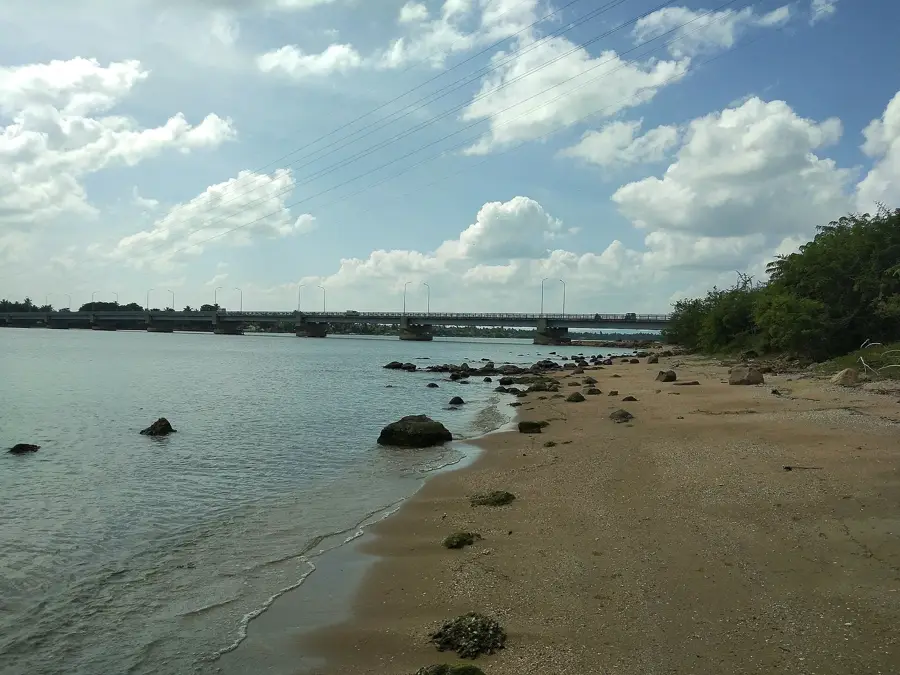
Mullaitivu is a major coastal town in northeastern Sri Lanka and serves as the capital of the Mullaitivu District. The town is situated on a narrow strip of land between the Indian Ocean and the Nanthi Kadal Lagoon, giving it a distinct geographical profile. Historically, Mullaitivu became widely known as the location of the final stages of the Sri Lankan Civil War in May 2009. Prior to the conflict, it was a flourishing center for fishing and agriculture, though it suffered catastrophic damage during the 2004 Indian Ocean Tsunami. Since 2009, the area has undergone extensive rebuilding, focusing on restoring the fishing industry and improving connectivity to the Eastern and Northern Provinces. The natural environment consists of dense inland forests and pristine coastal beaches. Today, the town is gradually developing its infrastructure, with the local economy primarily driven by maritime fishing and paddy cultivation, while also serving as a site for historical reflection and memorialization.
- Location: Sri Lanka
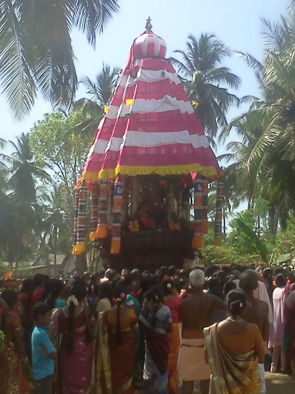
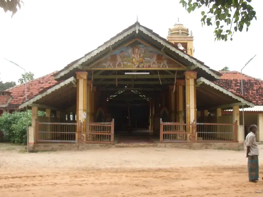
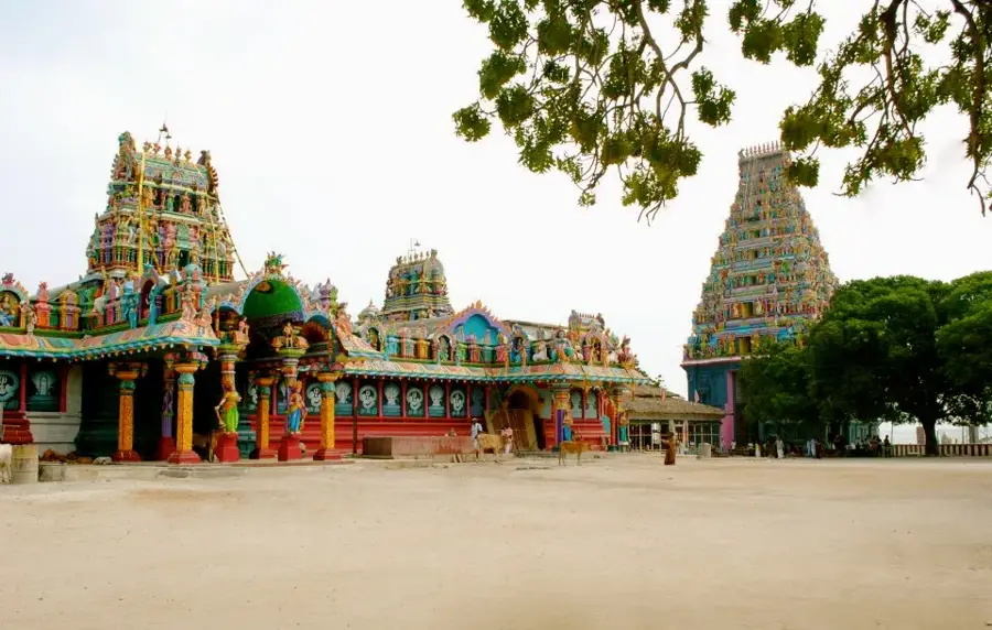
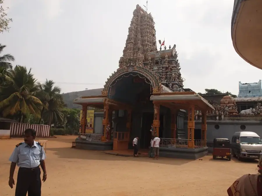
- Top sights: Mount Zion House of Prayer · St.Peters Church · Sri Samudragiri Raja Maha Viharaya
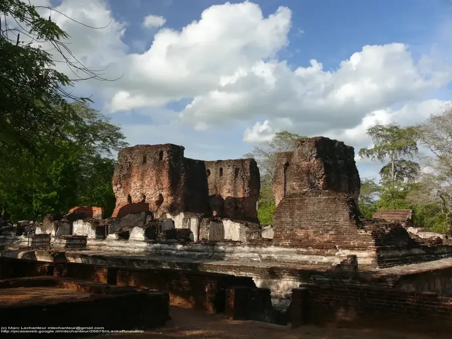
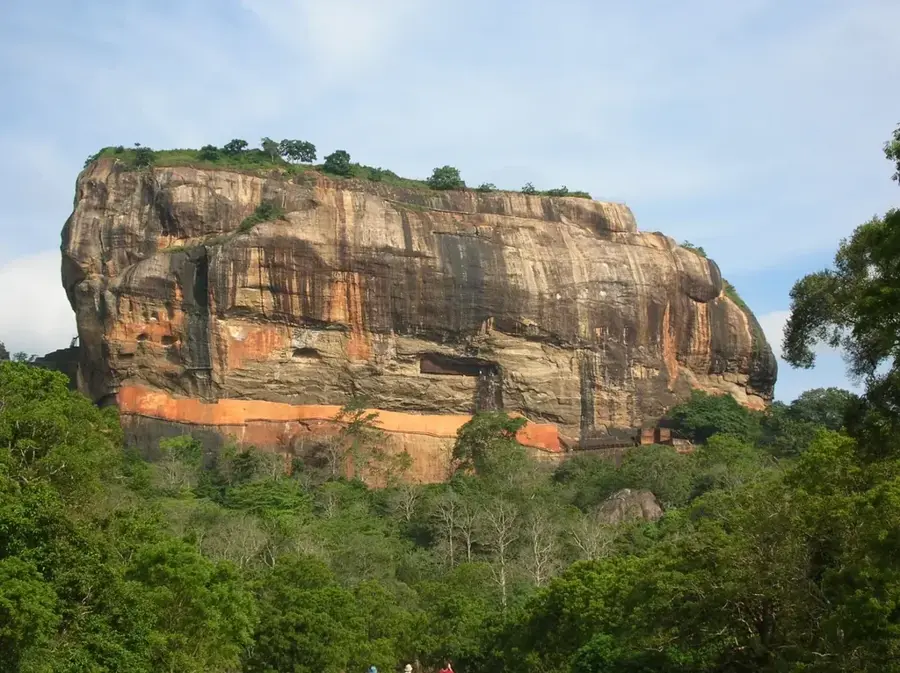
- Nearby: Polonnaruwa (31 km)
- Population: ~28.973 (2026)
Best time to visit & climate
The most pleasant time to visit is Jan–Mar.
| Jan | Feb | Mar | Apr | May | Jun | Jul | Aug | Sep | Oct | Nov | Dec | |
|---|---|---|---|---|---|---|---|---|---|---|---|---|
| Avg °C | 26 | 27 | 28 | 29 | 30 | 29 | 29 | 29 | 29 | 28 | 28 | 27 |
| Rain mm | 83 | 59 | 58 | 121 | 116 | 55 | 61 | 83 | 101 | 268 | 332 | 263 |
Geography
Facts
- Mullaitivu is located approximately 280 kilometers northeast of Colombo.
- The 2004 Tsunami caused massive loss of life and property in the coastal belt.
- The Nanthi Kadal Lagoon borders the town, separating it from the mainland.
- The 26-year-long civil war concluded in the Vellamullivaikkal area in May 2009.
- The town's harbor is a critical node for the fishing industry in the Vanni region.
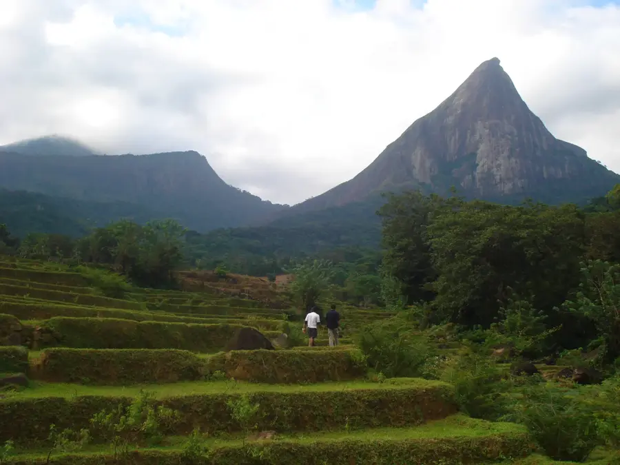
- The surrounding district has significant forest cover, including teak plantations.
Explore nearby
Notable places around
Route planner — Car & Motorhome
Where do you start? We build the route here, with stops and country notes along the way.
© OpenStreetMap contributors · OpenRouteService
Sights in the town Mullaitivu (3)
Frequently asked questions
What is Mullaitivu known for today?
Can you relax on the beach in Mullaitivu?
What is the travel route to Mullaitivu?
Are there any museums nearby?
What is the local food?
Mullaitivu: where is it located?
Mullaitivu: what is there to see?
Mullaitivu: when is the best time to visit?
Mullaitivu: why is it worth visiting?

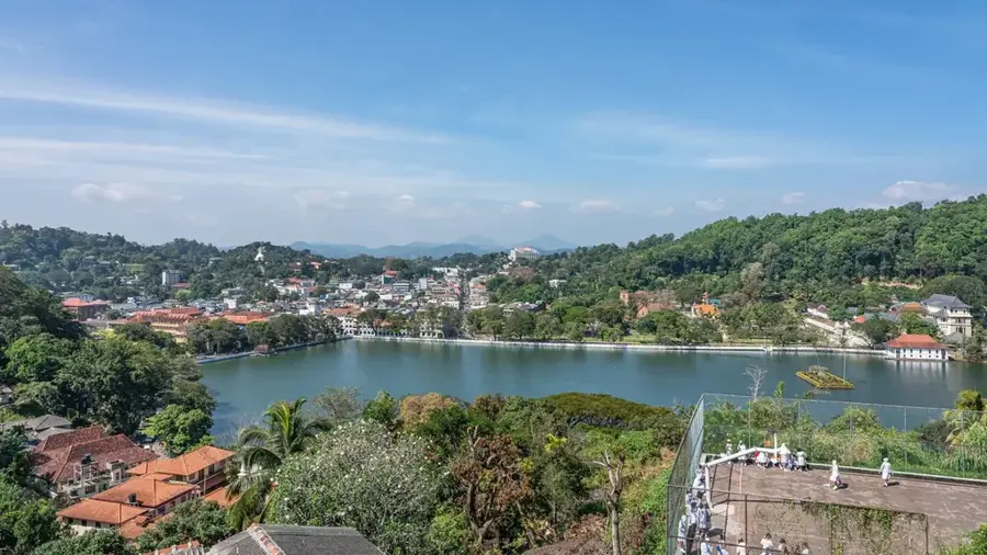
Nearby cities
History & landmarks

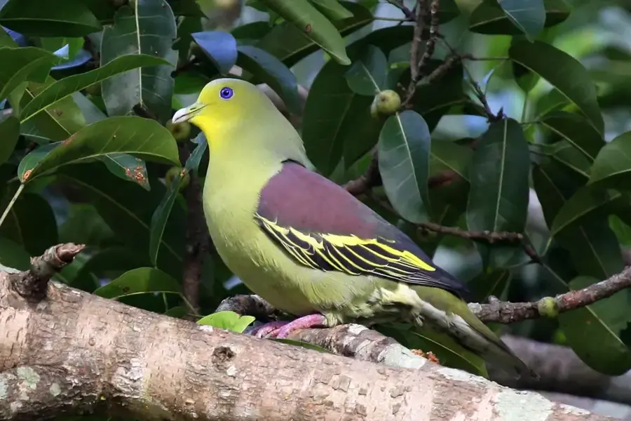
Nature
More places