Plizio Visual Lab
Ritigala
Weather…
Water temperature…
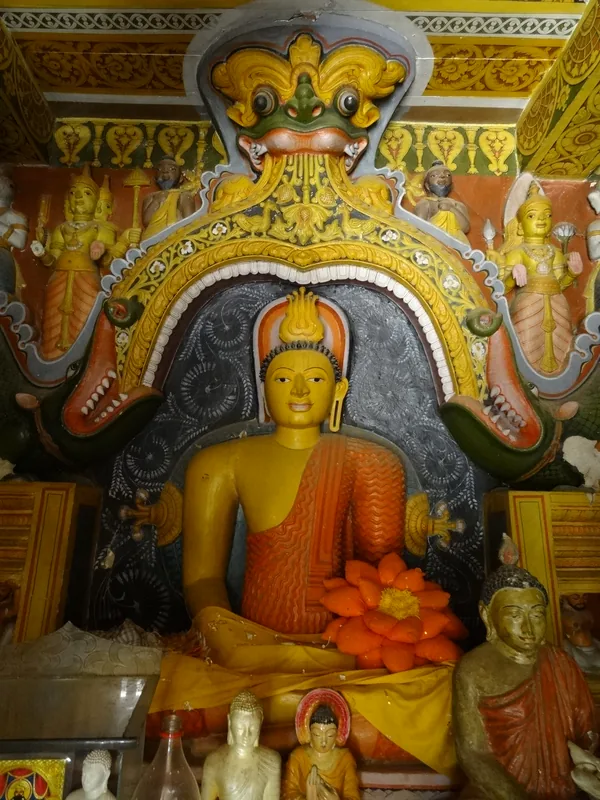
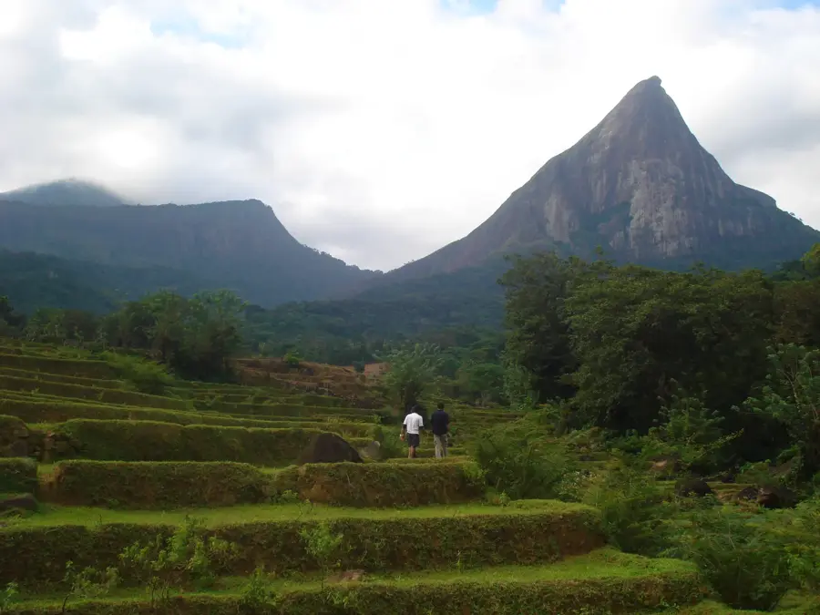
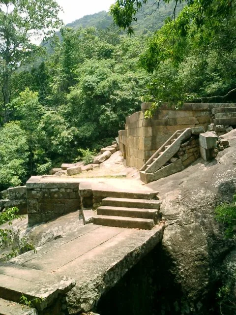
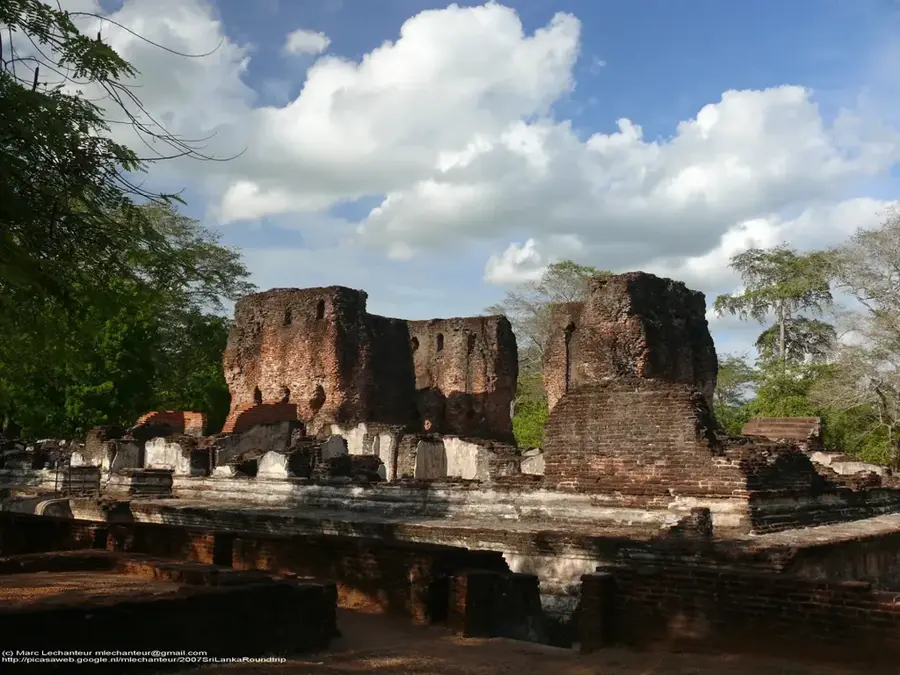
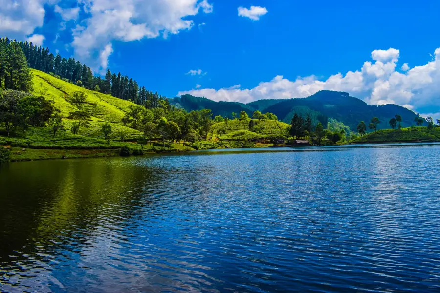
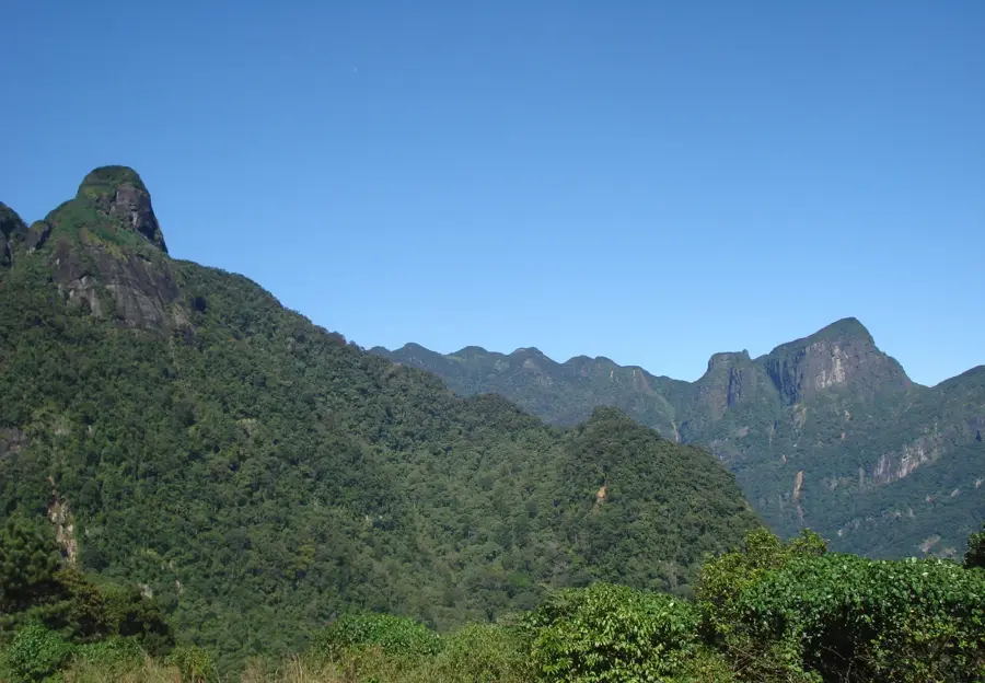
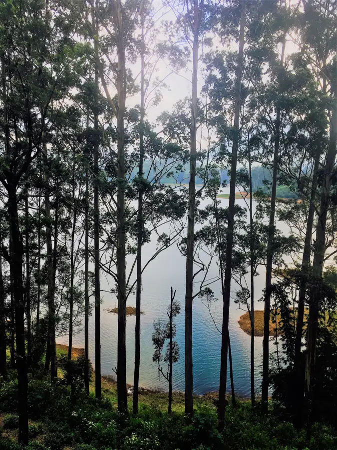
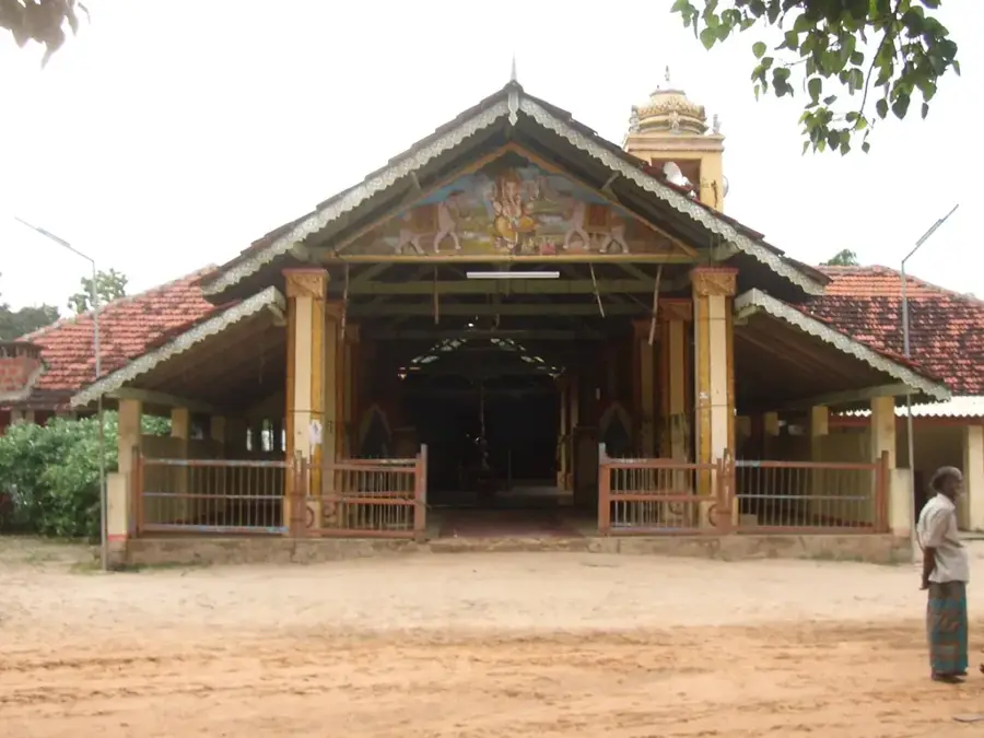
Ritigala is an isolated mountain range and a strict nature reserve located in the North Central plains of Sri Lanka. Rising to an elevation of approximately 766 meters, it is the highest point in the region, standing in sharp contrast to the surrounding flat landscape. The mountain is renowned for its ancient Buddhist monastery ruins dating back to the 1st century BCE, characterized by minimalist architecture and intricate stone-paved paths. Due to its elevation and geographical position, Ritigala receives significantly more rainfall than the surrounding dry zone, fostering a unique micro-habitat of moist montane forest. Geologically, the massif is composed of crystalline rock formations that have resisted erosion over millions of years. In mythology, Ritigala is linked to the Ramayana epic, believed to be the spot where Lord Hanuman searched for medicinal herbs. Today, access to much of the mountain is restricted to preserve its archaeological integrity and its rare endemic flora.
- Location: Sri Lanka
- Top sights: Kinihiri Kanda · Ritigala Ancient Buddhist Monastery · Library
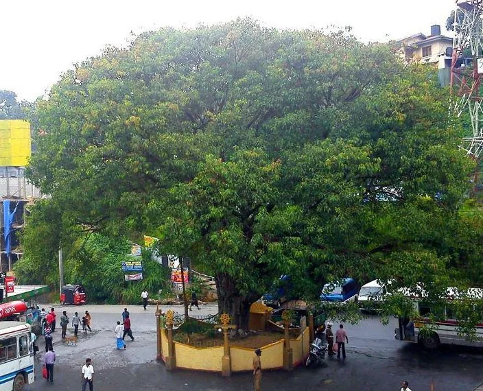
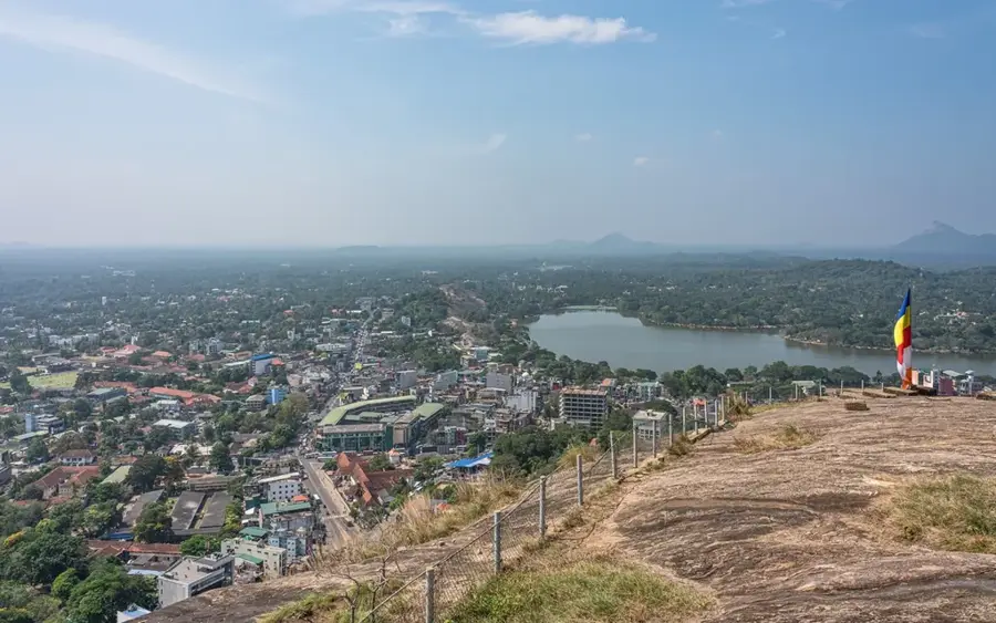
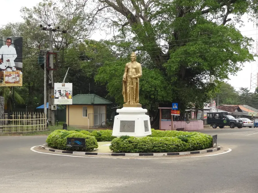
- Nearby: Matale (12 km)
Best time to visit & climate
The most pleasant time to visit is Jan, Feb, Jul.
| Jan | Feb | Mar | Apr | May | Jun | Jul | Aug | Sep | Oct | Nov | Dec | |
|---|---|---|---|---|---|---|---|---|---|---|---|---|
| Avg °C | 24 | 25 | 27 | 28 | 28 | 27 | 27 | 27 | 27 | 27 | 25 | 24 |
| Rain mm | 91 | 72 | 86 | 145 | 114 | 42 | 38 | 55 | 87 | 230 | 273 | 238 |
📋 Practical info
Geography
Facts
- Ritigala reaches a maximum altitude of 766 meters above sea level.
- The strict nature reserve covers an area of 1,528 hectares.
- The monastery ruins are unique for their lack of traditional religious imagery.
- It hosts over 330 species of plants, many typically found in the wet zone.
- The site features massive stone-lined ritual bathing pools called Pokuna.
- In the 4th century BCE, it served as a military base for King Pandukabhaya.
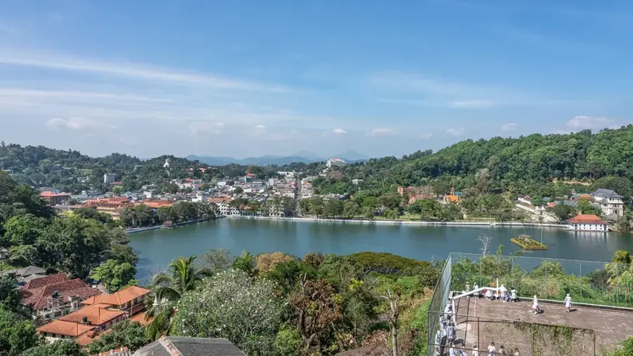
Explore nearby
Notable places around
Route planner — Car & Motorhome
Where do you start? We build the route here, with stops and country notes along the way.
© OpenStreetMap contributors · OpenRouteService
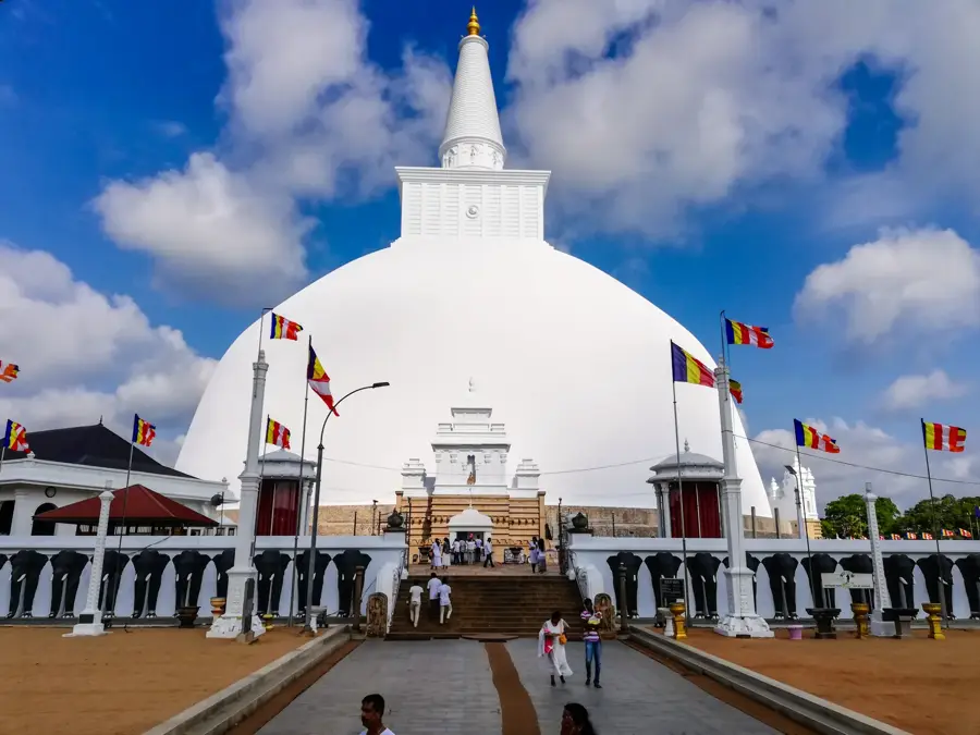
Sights in the town Ritigala (6)
Sights nearby
Frequently asked questions
What can be found on Ritigala mountain?
Is the monastery still inhabited?
Are there special plants there?
How much time should you plan for the visit?
Can you explore Ritigala on your own?
Ritigala: where is it located?
Ritigala: what is there to see?
Ritigala: when is the best time to visit?
Ritigala: why is it worth visiting?

Nearby cities
History & landmarks

More places