Plizio Visual Lab
Mannar
ℹ️Practical info — Mannar
▾
🌤 Weather — 5 days
📍 Nearby
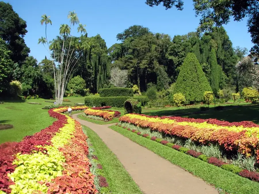
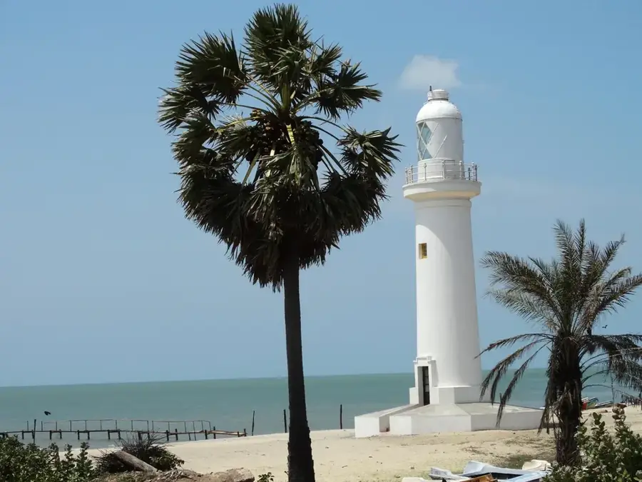
Sights nearby
💡 Tips
- The causeway linking the island to the mainland provides spectacular views, especially of wading birds like flamingos during the season.
- Drive very carefully, especially at night, as feral donkeys roam freely across the island roads.
- The climate is extremely arid and sun exposure is intense; high-SPF sunscreen and hats are mandatory.
- When visiting the Adam's Bridge sandbanks, check the tide schedules, as paths can become submerged quickly.
🍽 Food
Famous throughout Sri Lanka for its meatiness; best enjoyed at modest local guesthouses where it's caught the same day.
A mildly alcoholic, fermented sap from the Palmyra tree. Try it early in the morning for a sweeter, fresher taste.
A heavily spiced, salty local staple often eaten with rice and coconut sambal in small roadhouse restaurants.
🛍 Shopping · 🧘 Quiet spots
This is a massive local industry; buy directly from the drying yards or the bustling fish market.
Look for intricately woven baskets, colorful boxes, and mats made by local women's cooperatives.
Visit the massive, centuries-old baobab tree (planted by Arab traders) just outside town for a quiet photo op.
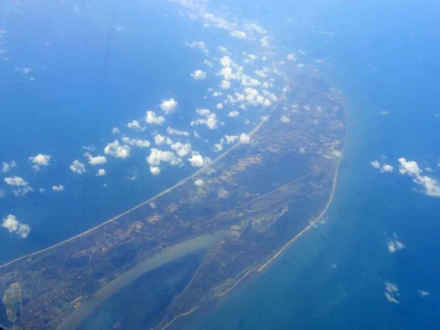
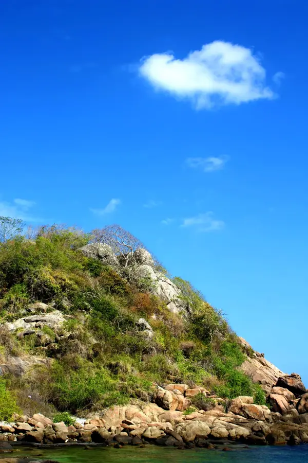
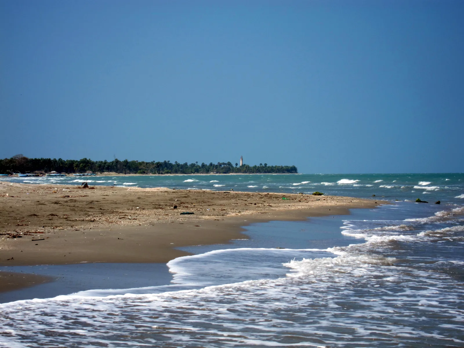
The seemingly endless chain of sandbanks stretching towards India is utterly remote, windswept, and serene.
Water temperature…
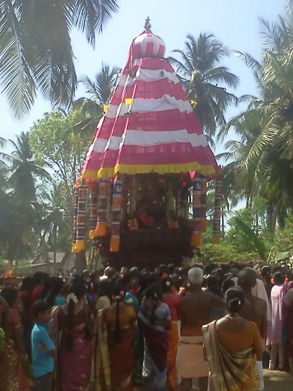
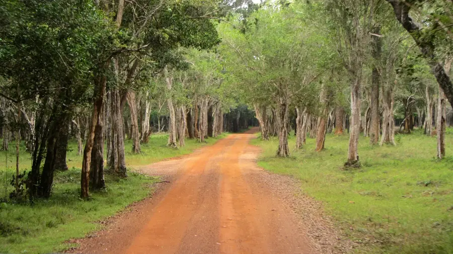
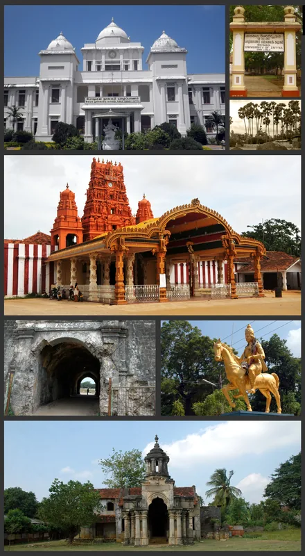
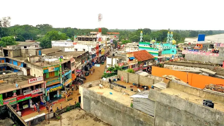
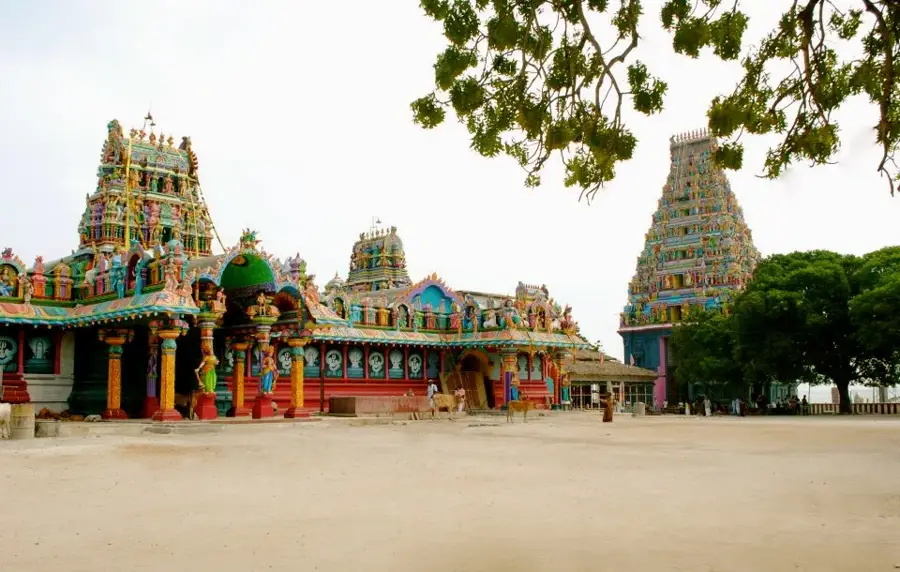
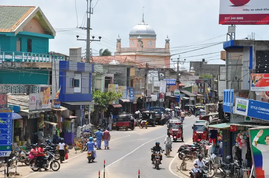
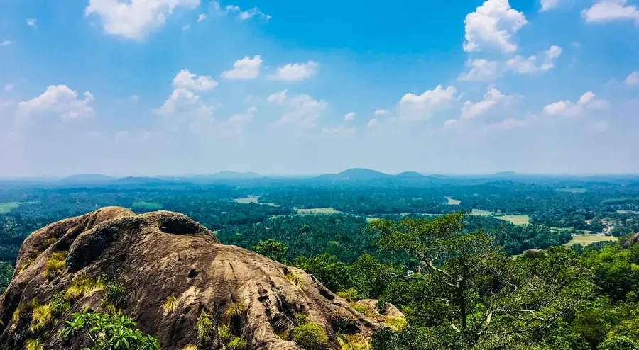
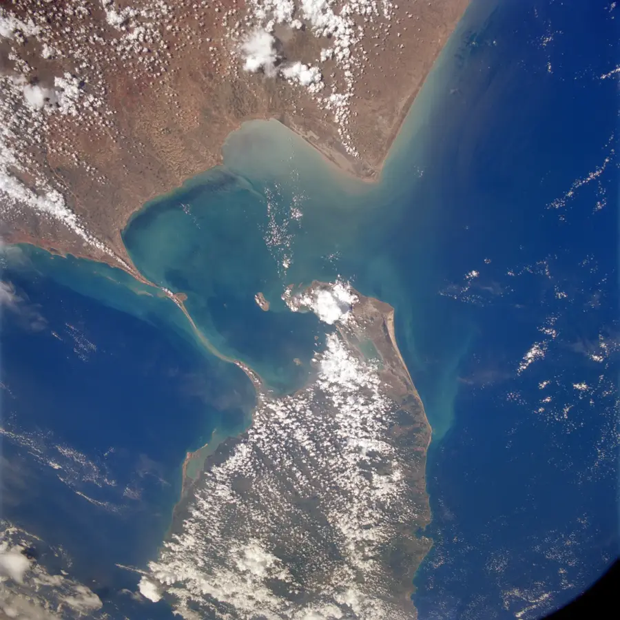
Mannar is situated on Mannar Island off the northwestern coast of Sri Lanka, connected to the mainland by a bridge. Historically, the city was a center for pearl fishing for centuries and a key port for Arab traders, who introduced the iconic baobab trees to the region. The Mannar Fort, built by the Portuguese in the 16th century and later expanded by the Dutch, stands as a testament to the city's strategic importance in controlling the Palk Strait. Geographically, the area is known for its dry landscapes and the chain of limestone shoals known as Adam's Bridge, which separates the Gulf of Mannar from Palk Bay. The local economy today relies on fishing, salt production, and agriculture. Mannar also houses the Shrine of Our Lady of Madhu, one of the most sacred Catholic pilgrimage sites on the island. The region's untouched nature is increasingly attracting birdwatchers and eco-tourists.
- Location: Sri Lanka
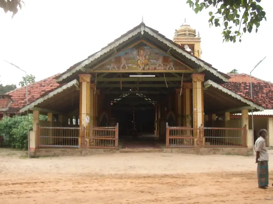
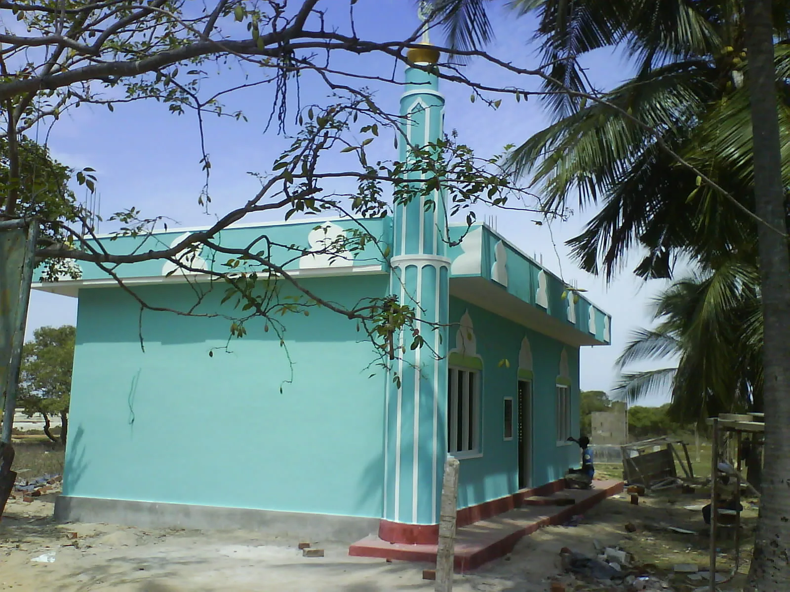
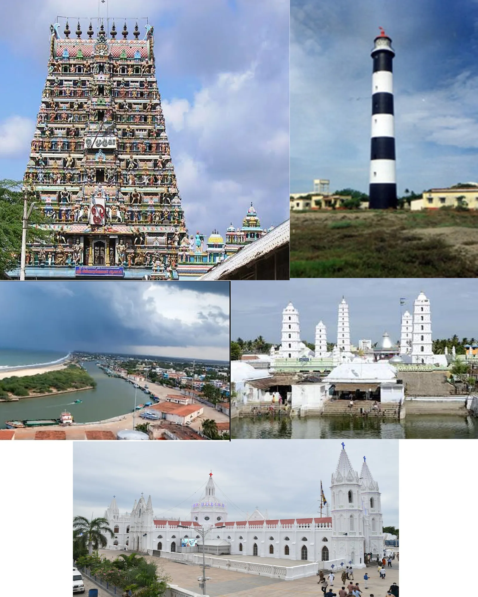
- Top sights: Mannar Dutch Fort · St. Sebastian's Cathedral, Mannar · Kootte Mosque
- Nearby: Karainagar (15 km)
- Population: ~35.817 (2026)
Best time to visit & climate
The most pleasant time to visit is Jan, Feb, Jul.
| Jan | Feb | Mar | Apr | May | Jun | Jul | Aug | Sep | Oct | Nov | Dec | |
|---|---|---|---|---|---|---|---|---|---|---|---|---|
| Avg °C | 26 | 26 | 28 | 30 | 29 | 29 | 28 | 28 | 28 | 28 | 27 | 26 |
| Rain mm | 53 | 40 | 45 | 89 | 75 | 14 | 17 | 39 | 58 | 199 | 269 | 196 |
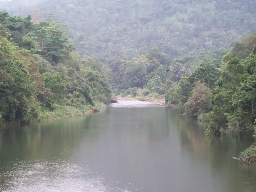
Geography
Facts
- The baobab tree in Mannar is estimated to be over 700 years old.
- Mannar Fort features a square layout with four defensive bastions.
- Adam's Bridge (Rama Setu) is a chain of shoals that nearly connects Sri Lanka to India.
- In ancient times, Mannar was renowned as one of the best pearl sources globally.
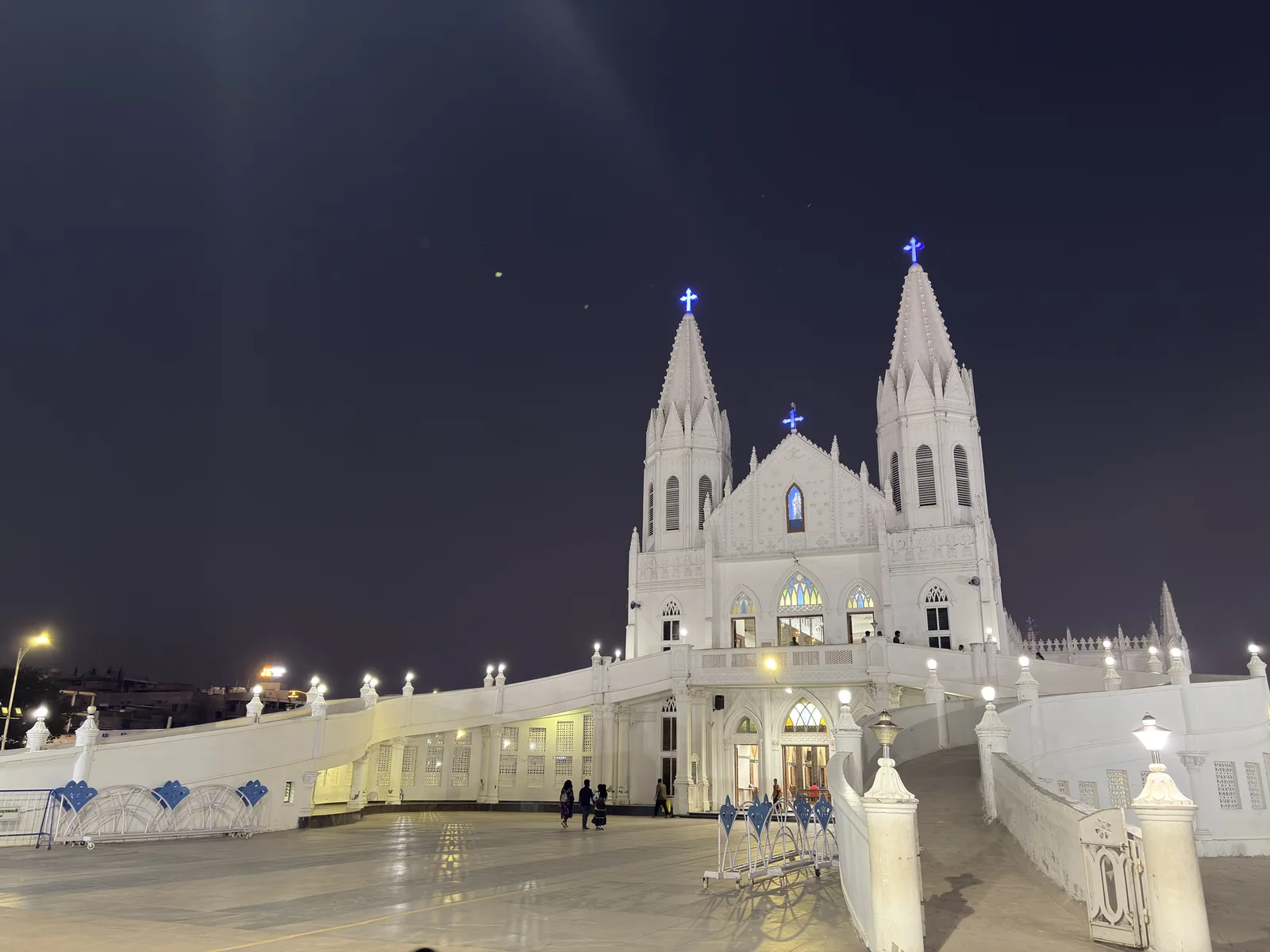
- The Shrine of Our Lady of Madhu is over 400 years old and is a major pilgrimage site.
- The region is a vital stopover for migratory birds, such as flamingos.
Explore nearby
Notable places around
Route planner — Car & Motorhome
Where do you start? We build the route here, with stops and country notes along the way.
© OpenStreetMap contributors · OpenRouteService
Sights in the town Mannar (4)
Frequently asked questions
What are the main attractions in Mannar?
How do you get to Mannar Island?
When is the best time for birdwatching?
Are there good beaches for swimming in Mannar?
What is the Adam's Bridge project?
Mannar: where is it located?
Mannar: what is there to see?
Mannar: when is the best time to visit?
Mannar: why is it worth visiting?

Nearby cities
Nature
More places