Plizio Visual Lab
Lakegala
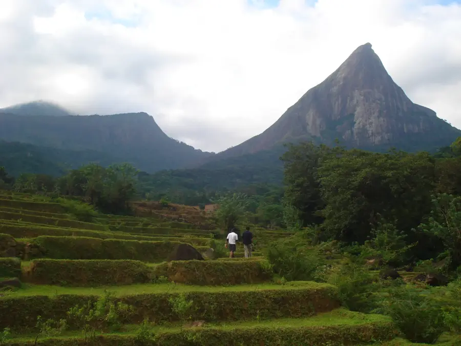
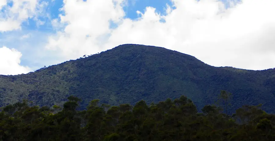
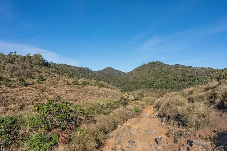
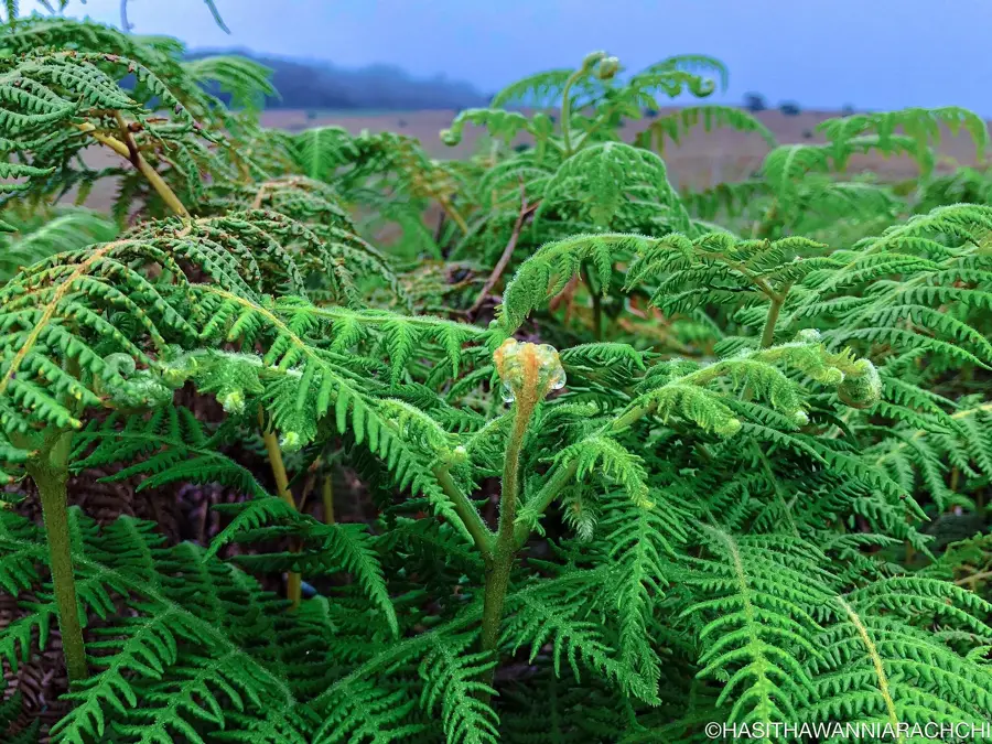
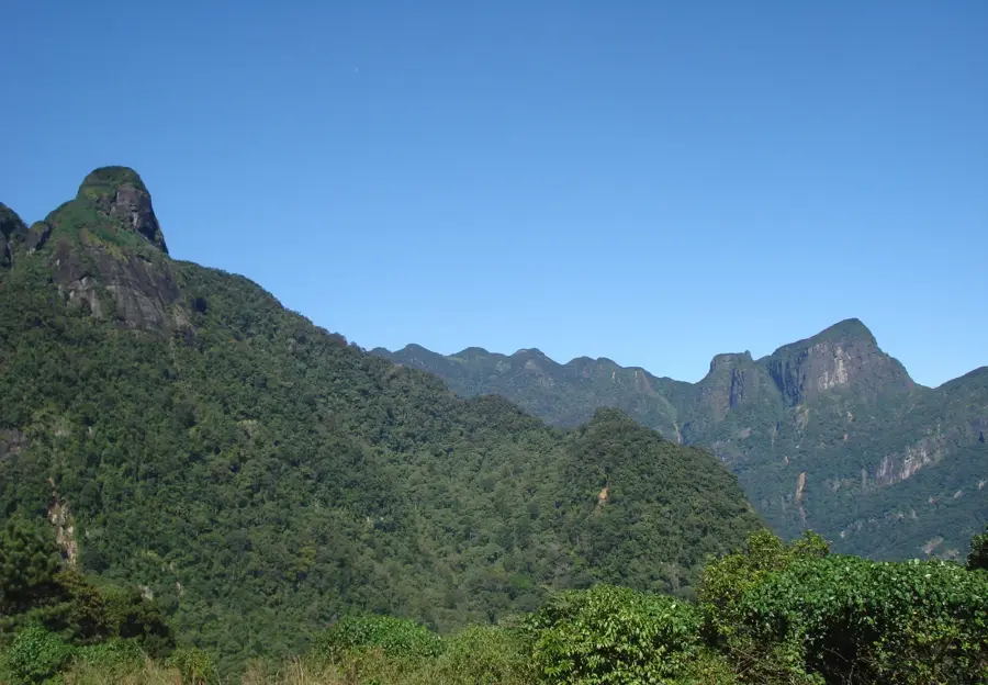
Lakegala is a striking, pyramid-shaped mountain situated within the Knuckles Mountain Range in the Central Province of Sri Lanka. Located near the remote village of Meemure, it is widely regarded as one of the most challenging and dangerous peaks on the island due to its near-excellent triangular silhouette. Geologically, the mountain is a massive rock formation characterized by extremely steep granite faces that support minimal vegetation. In Sinhalese mythology, Lakegala holds a central place, often identified as the residence of the legendary demon king Ravana from the Ramayana epic. Folklore suggests the king used the peak as a strategic lookout to oversee his vast kingdom. The area surrounding the mountain is part of the Knuckles Conservation Forest, a UNESCO World Heritage site, and hosts an extraordinary variety of flora and fauna. For mountaineers, reaching the summit is an extreme feat, requiring technical climbing skills and rope security to navigate the nearly vertical rock segments.
- Location: Sri Lanka
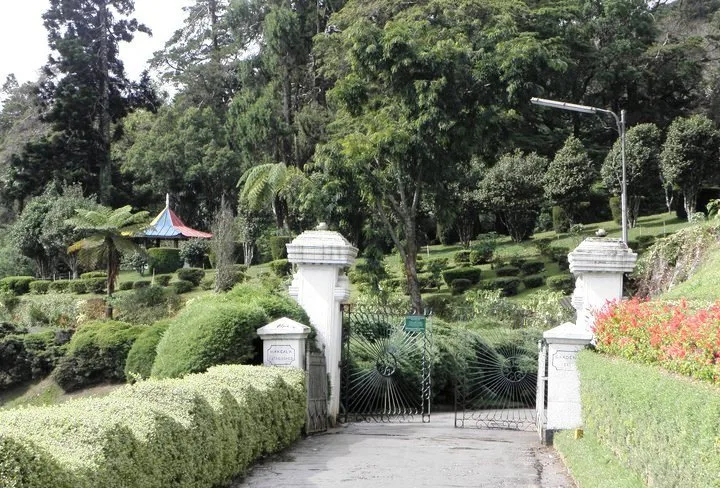
- Top sights: Pallegama Old Village · Laggala Old Town · Walpolamulla
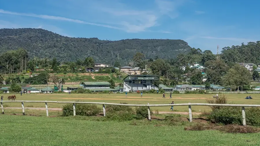
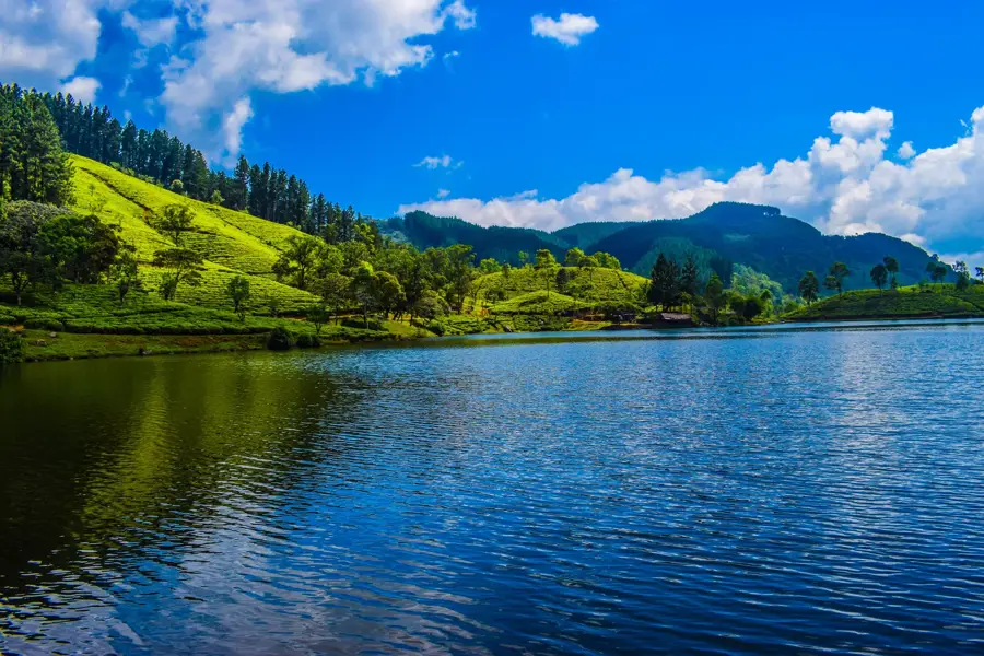
- Nearby: Nuwara Eliya (11 km)
Best time to visit & climate
The most pleasant time to visit is Feb, Jun, Jul.
| Jan | Feb | Mar | Apr | May | Jun | Jul | Aug | Sep | Oct | Nov | Dec | |
|---|---|---|---|---|---|---|---|---|---|---|---|---|
| Avg °C | 24 | 24 | 26 | 28 | 28 | 28 | 28 | 28 | 28 | 27 | 25 | 24 |
| Rain mm | 156 | 110 | 97 | 140 | 113 | 42 | 37 | 48 | 88 | 218 | 312 | 312 |
📋 Practical info
Geography
Facts
- Lakegala reaches an elevation of approximately 1310 meters.
- The name translates to 'The Rock of Lanka' in the native Sinhala language.
- It is famous for its distinct pyramid shape with three sharp ridges.
- The peak is strongly associated with the Ramayana and King Ravana.
- Climbing requires specialized equipment due to the steep granite slabs.
- It is located in the Meemure region of the Knuckles Conservation Forest.
Explore nearby
Notable places around
Route planner — Car & Motorhome
Where do you start? We build the route here, with stops and country notes along the way.
© OpenStreetMap contributors · OpenRouteService
Sights in the town Lakegala (6)
Sights nearby
Frequently asked questions
Where is Lakegala rock located?
Is climbing Lakegala dangerous?
Are there legends about this mountain?
How do you get to the foot of the mountain?
Can you camp at the foot of Lakegala?
Lakegala: where is it located?
Lakegala: what is there to see?
Lakegala: when is the best time to visit?
Lakegala: why is it worth visiting?

Nearby cities
More places