Plizio Visual Lab
Thotupola Kanda
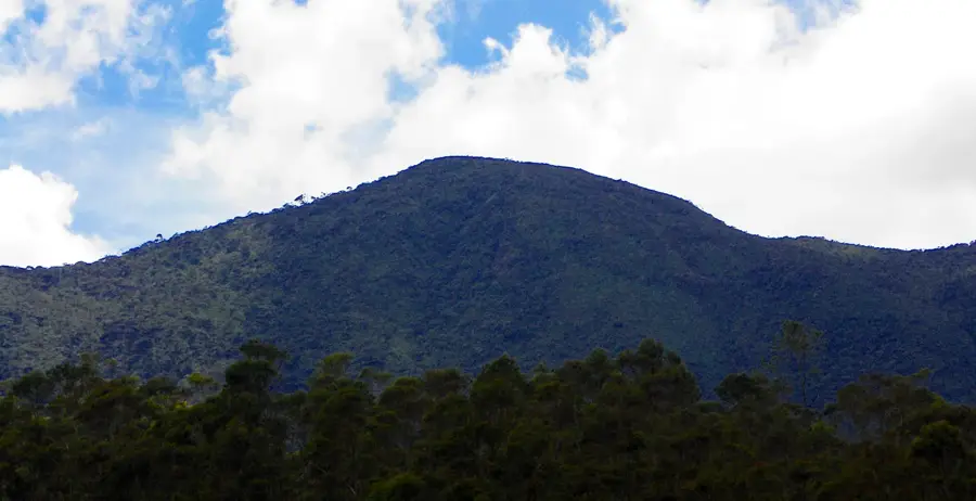
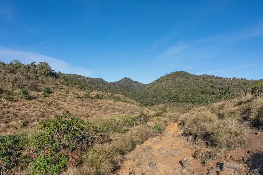
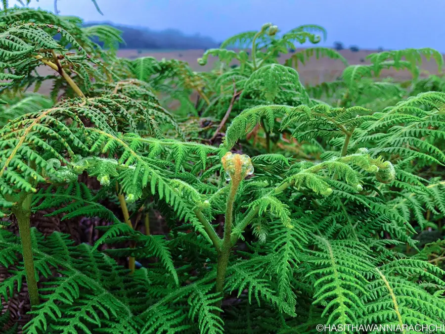
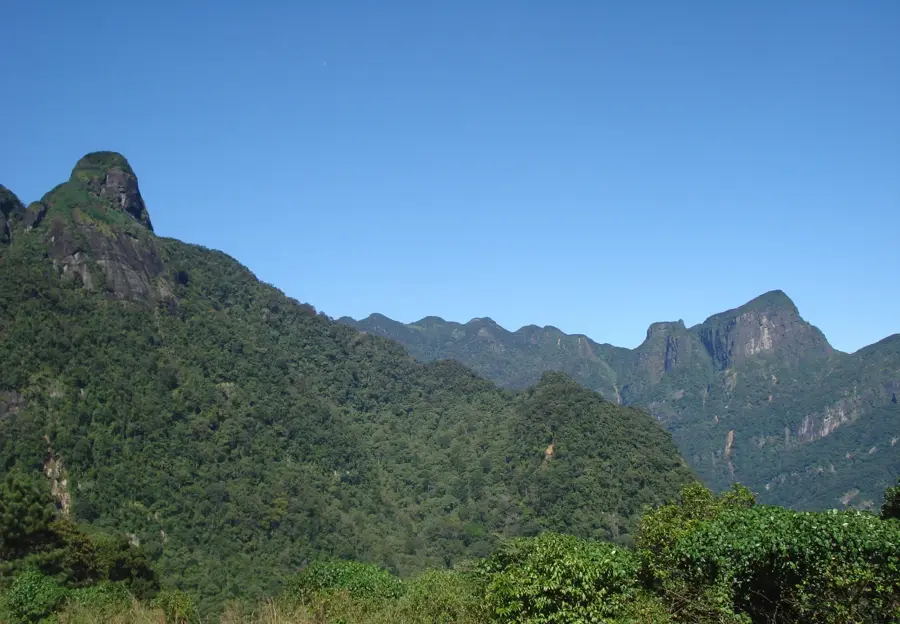
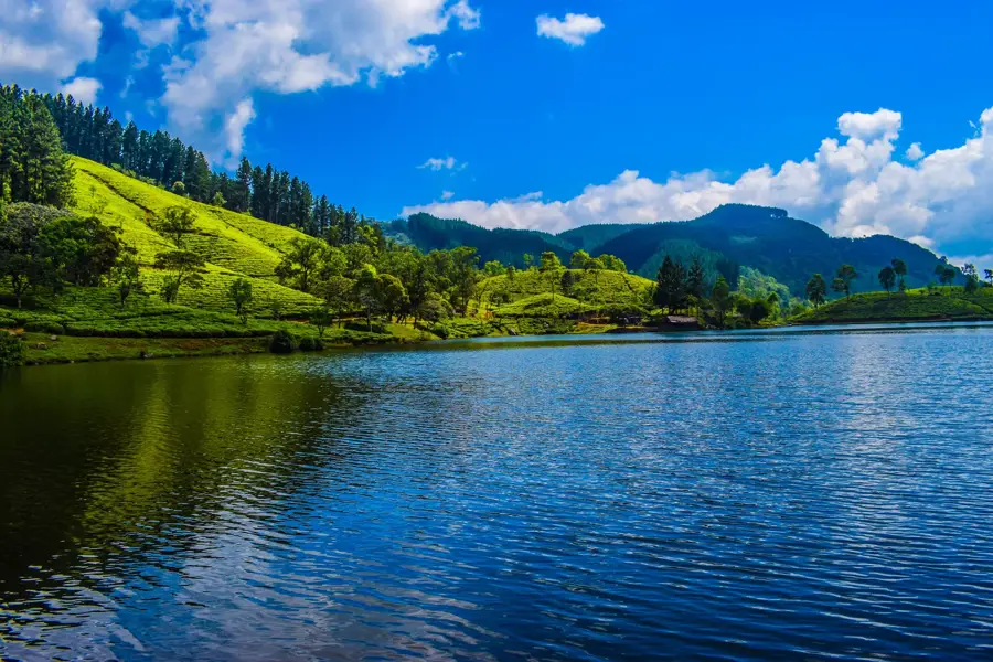
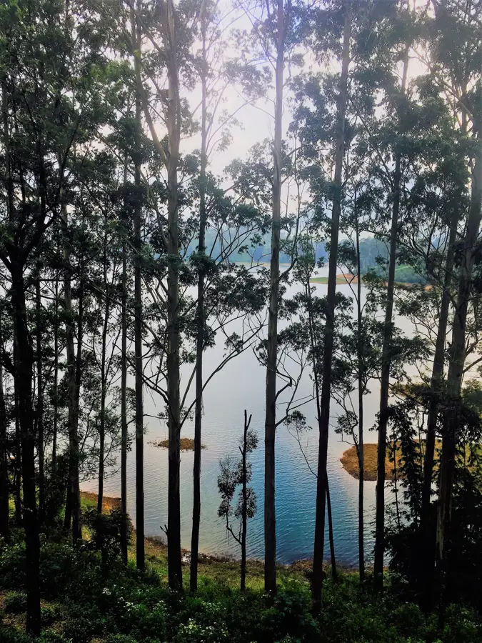
Thotupola Kanda is the third highest mountain in Sri Lanka, standing at 2,357 meters, and is also located within the Horton Plains National Park. It is known for its relatively easy accessibility, as the hiking trail to the summit is significantly shorter and less steep than those of neighboring high peaks. The name 'Thotupola Kanda' translates to 'Landing Place Mountain,' referring to a local legend that King Rawana landed his flying machine, the Pushpaka Vimana, here. The mountain's flora is characterized by alpine vegetation and pygmy forests adapted to harsh climatic conditions. Hikers can observe a variety of birds on the way to the summit and enjoy wide views of the highlands. The mountain plays an important role in the island's water cycle, as many streams in the area have their origins here.
- Location: Sri Lanka
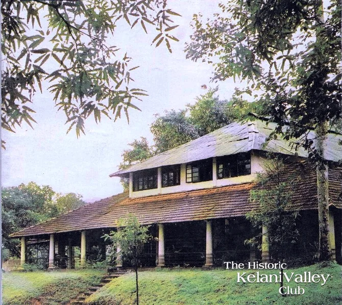
- Top sights: Black Bridge · Adam's Peak View · Thotupola Kanda
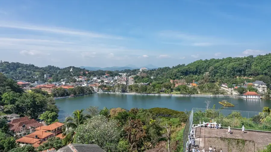
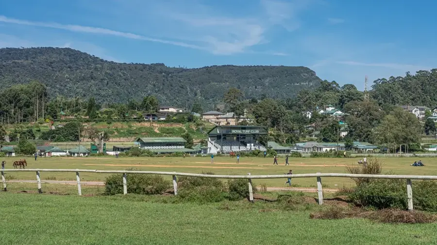
- Nearby: Nuwara Eliya (5 km)
Best time to visit & climate
The most pleasant time to visit is Feb, Jun, Jul.
| Jan | Feb | Mar | Apr | May | Jun | Jul | Aug | Sep | Oct | Nov | Dec | |
|---|---|---|---|---|---|---|---|---|---|---|---|---|
| Avg °C | 23 | 23 | 25 | 26 | 26 | 26 | 26 | 26 | 26 | 25 | 24 | 23 |
| Rain mm | 144 | 106 | 102 | 155 | 128 | 62 | 50 | 65 | 112 | 221 | 289 | 262 |
📋 Practical info
Geography
Facts
- At 2,357 meters, it is the third highest peak in Sri Lanka.
- The hiking trail to the summit is only about 2 kilometers long.
- It belongs to the UNESCO World Heritage Site of the Central Highlands.
- The name refers to legends from the ancient Ramayana epic.
- The summit provides a clear view of the second highest mountain, Kirigalpotta.
- The average temperature at the peak often stays below 15 degrees Celsius.
Explore nearby
Notable places around
Route planner — Car & Motorhome
Where do you start? We build the route here, with stops and country notes along the way.
© OpenStreetMap contributors · OpenRouteService
Sights in the town Thotupola Kanda (7)
Sights nearby
Frequently asked questions
How long does the hike to Thotupola Kanda take?
Is the trail suitable for families?
Where is Thotupola Kanda located?
Do you need a special permit?
What is there to see on the trail?
Thotupola Kanda: where is it located?
Thotupola Kanda: what is there to see?
Thotupola Kanda: when is the best time to visit?
Thotupola Kanda: why is it worth visiting?

Nearby cities
More places