Plizio Visual Lab
Bogawantalawa Valley
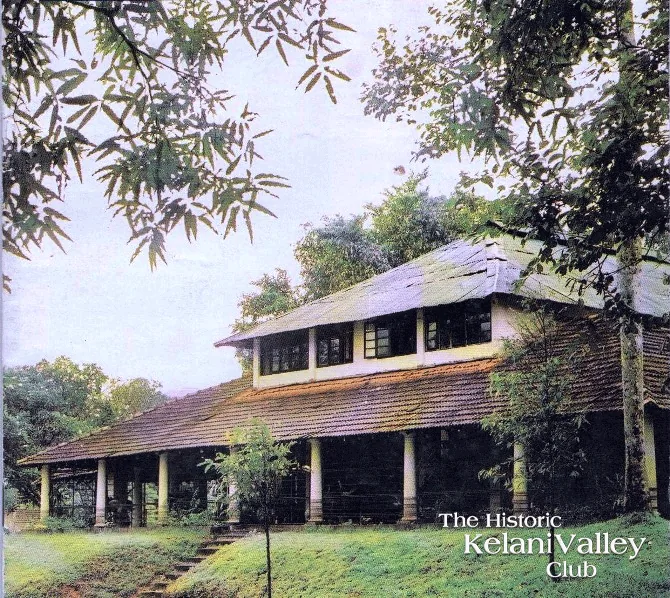
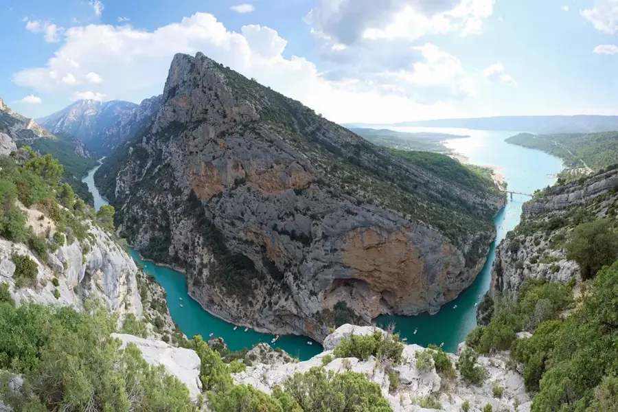
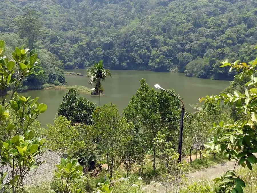
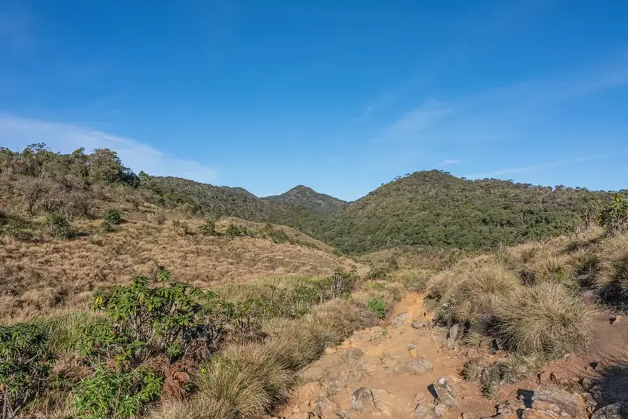
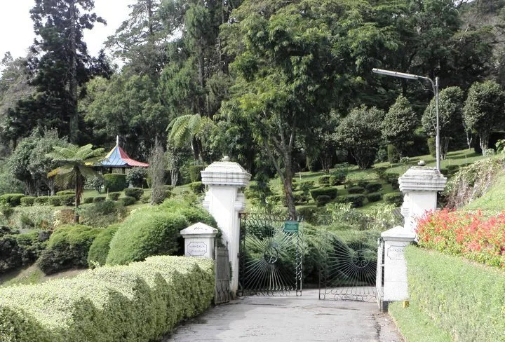
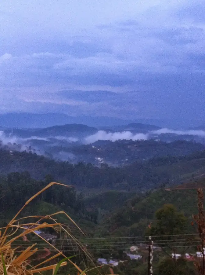
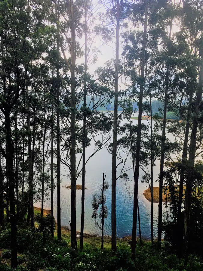
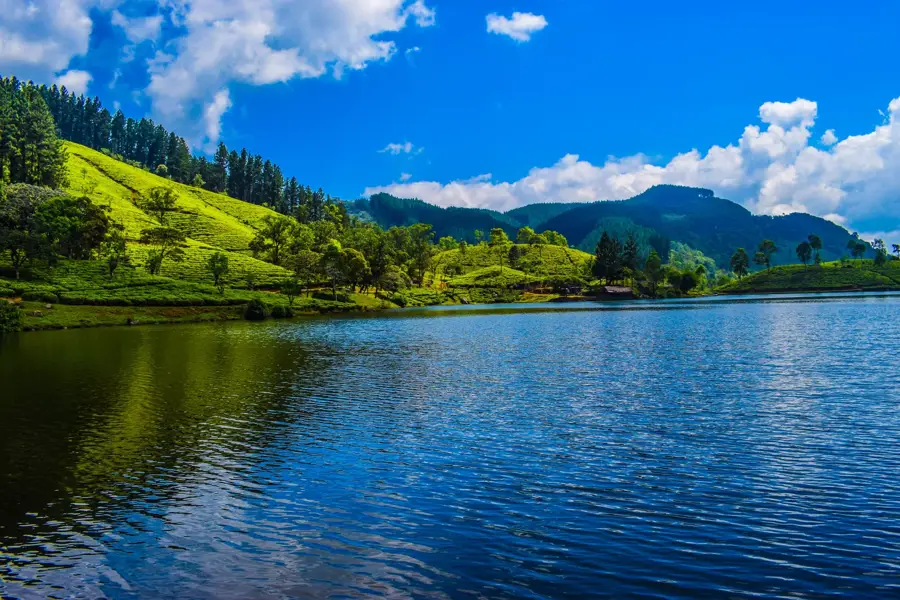
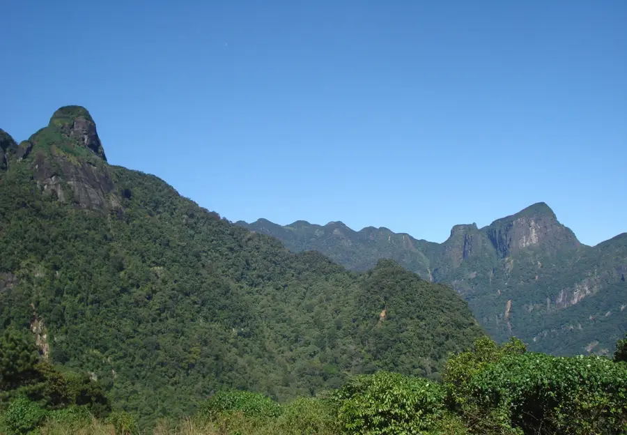
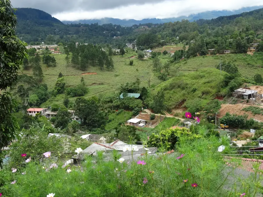
Bogawantalawa Valley, often referred to as the 'Golden Valley of Tea', is situated in the Central Highlands of Sri Lanka at an elevation of approximately 1500 meters. It is globally renowned for producing some of the highest quality Ceylon tea, sourced from the vast, emerald-green estates that carpet the valley floor. Geologically, the valley is an expansive high-altitude basin framed by the peaks of the Central Massif, benefiting from fertile soils and a cool, moist climate. The history of the valley is deeply intertwined with the British colonial era, specifically the late 19th century when coffee plantations were replaced by tea gardens following the coffee blight. Numerous historic colonial-era bungalows and factories remain operational today, preserving the region's heritage. The valley also holds ecological significance as it borders the Horton Plains National Park, acting as a vital corridor for wildlife such as the Sri Lankan leopard. The easy on the eye landscape is further enhanced by shimmering reservoirs and mist-covered mountain tops.
- Location: Sri Lanka
- Top sights: Pekoe Trail Start Stage 9 · Elbedda · Sri Pada Falls Viewpoint
- Nearby: Matale (12 km)
Best time to visit & climate
The most pleasant time to visit is Jan, Feb, Jul.
| Jan | Feb | Mar | Apr | May | Jun | Jul | Aug | Sep | Oct | Nov | Dec | |
|---|---|---|---|---|---|---|---|---|---|---|---|---|
| Avg °C | 21 | 22 | 23 | 24 | 24 | 23 | 23 | 23 | 23 | 23 | 22 | 22 |
| Rain mm | 109 | 86 | 105 | 175 | 164 | 101 | 82 | 92 | 129 | 234 | 274 | 212 |
📋 Practical info
Geography
Facts
- The valley is situated at an average elevation of 1500 meters.
- It is home to the Norwood and Castlereagh tea estates.
- The valley's geography creates a unique micro-climate for tea growth.
- It was historically settled by British pioneers in the 1860s.
- The region serves as a watershed for the upper Mahaweli River basin.
- Luxury tourism is prevalent due to restored colonial tea planters' bungalows.
Explore nearby
Notable places around
Route planner — Car & Motorhome
Where do you start? We build the route here, with stops and country notes along the way.
© OpenStreetMap contributors · OpenRouteService
Sights in the town Bogawantalawa Valley (6)
Sights nearby
Frequently asked questions
Why is Bogawantalawa called the 'Golden Valley'?
What can you do in the valley?
What is the weather like in Bogawantalawa Valley?
How do you reach the valley?
Are there luxury accommodations there?
Bogawantalawa Valley: where is it located?
Bogawantalawa Valley: what is there to see?
Bogawantalawa Valley: when is the best time to visit?
Bogawantalawa Valley: why is it worth visiting?

Nearby cities
More places