Plizio Visual Lab
Samanalawewa Dam
Weather…
Water temperature…
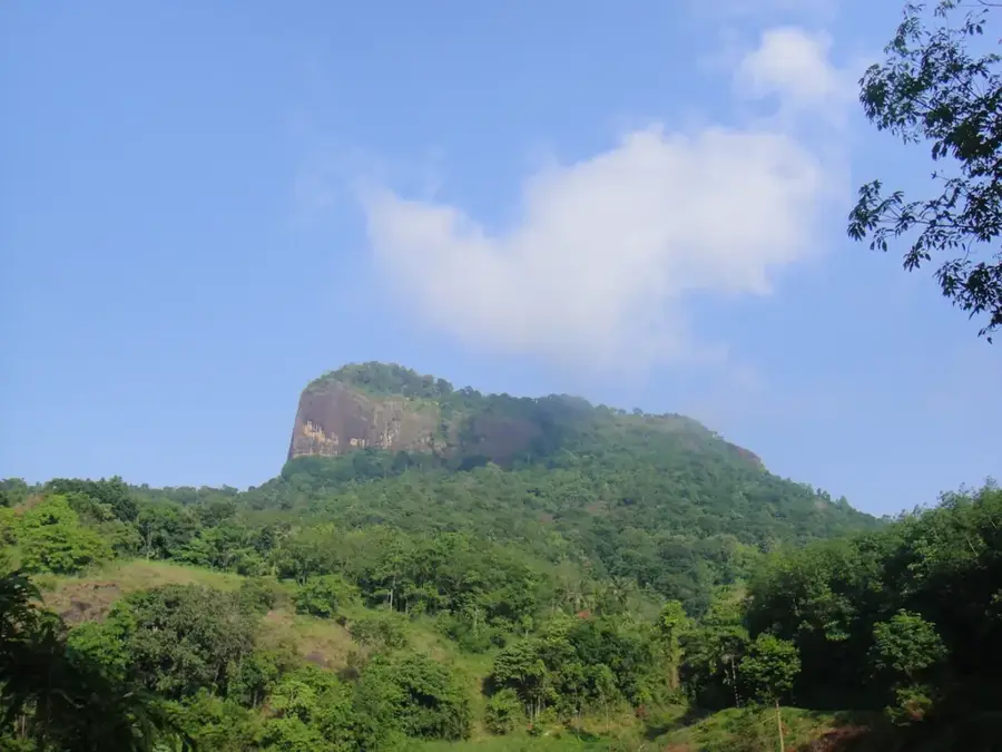
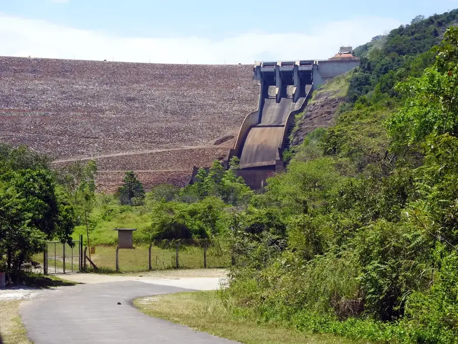
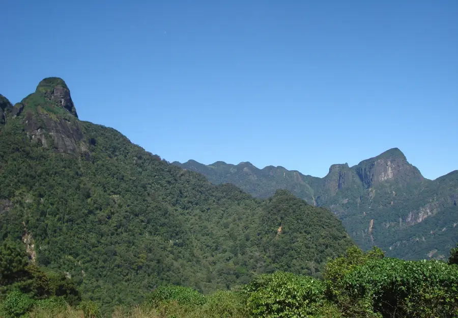
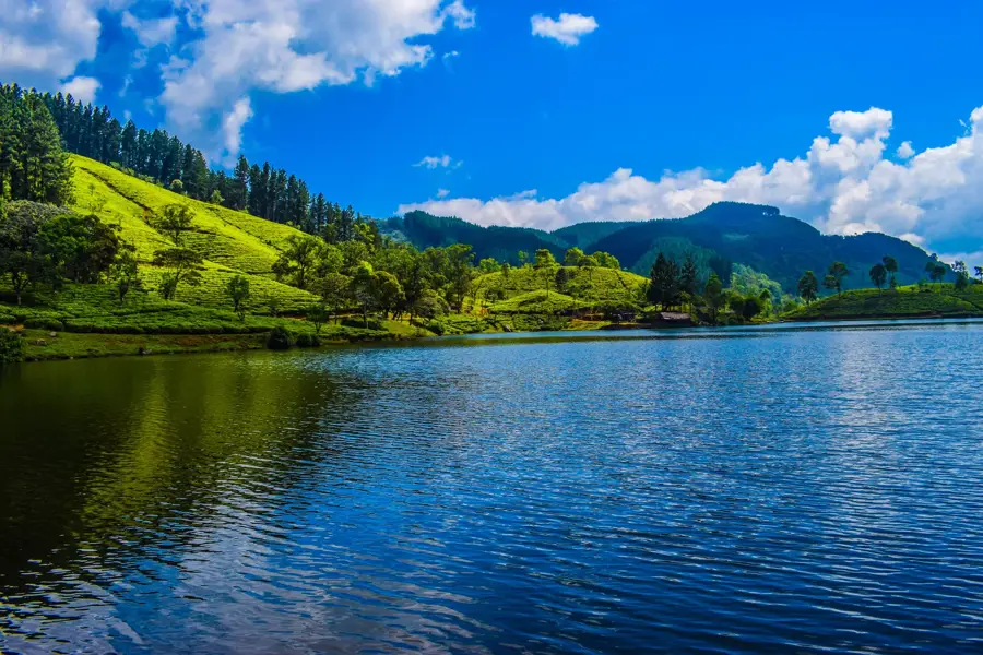
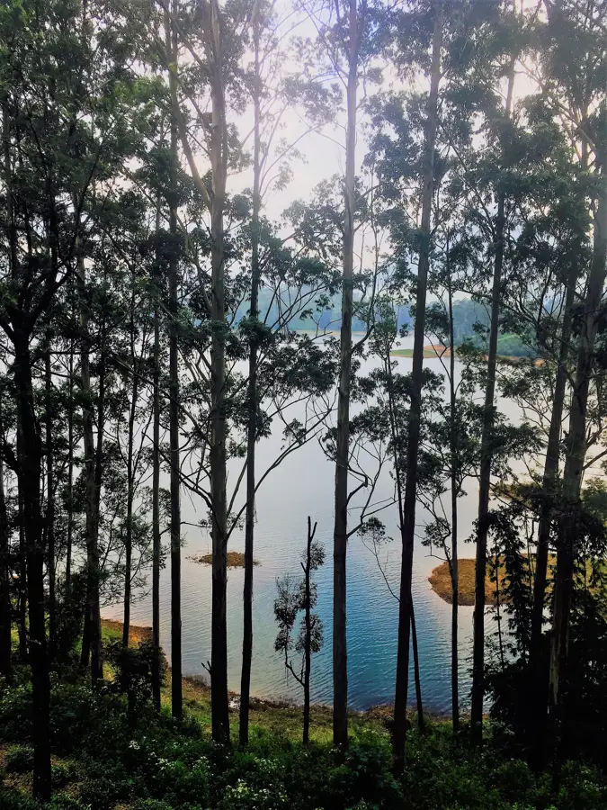
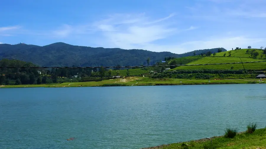
The Samanalawewa Dam is a major hydroelectric project in Sri Lanka, located on the Walawe River in the Sabaragamuwa Province. Standing at 100 meters, it is the second-highest dam in the country, creating a massive reservoir primarily used for power generation. The power station has an installed capacity of 120 megawatts and provides a significant contribution to the national energy grid. Construction was completed in 1991 with international assistance, particularly from Japan and the United Kingdom. Geologically, the project has faced substantial challenges as the dam was built on permeable limestone terrain, leading to significant water leakages since its initial filling. Despite numerous remediation attempts, the leak continues, though the escaping water is utilized for downstream agricultural purposes. The reservoir is also known for its scenic location amidst rugged mountains, making it a destination for nature tourism. Samanalawewa remains a prime example of the complexities involved in large-scale infrastructure projects in geologically sensitive zones in Sri Lanka.
- Location: Sri Lanka
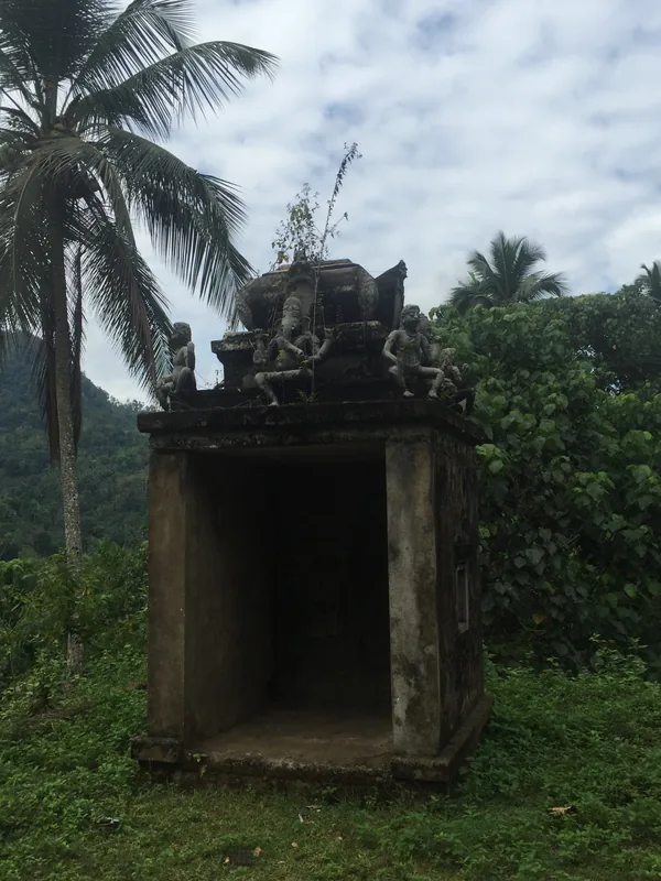
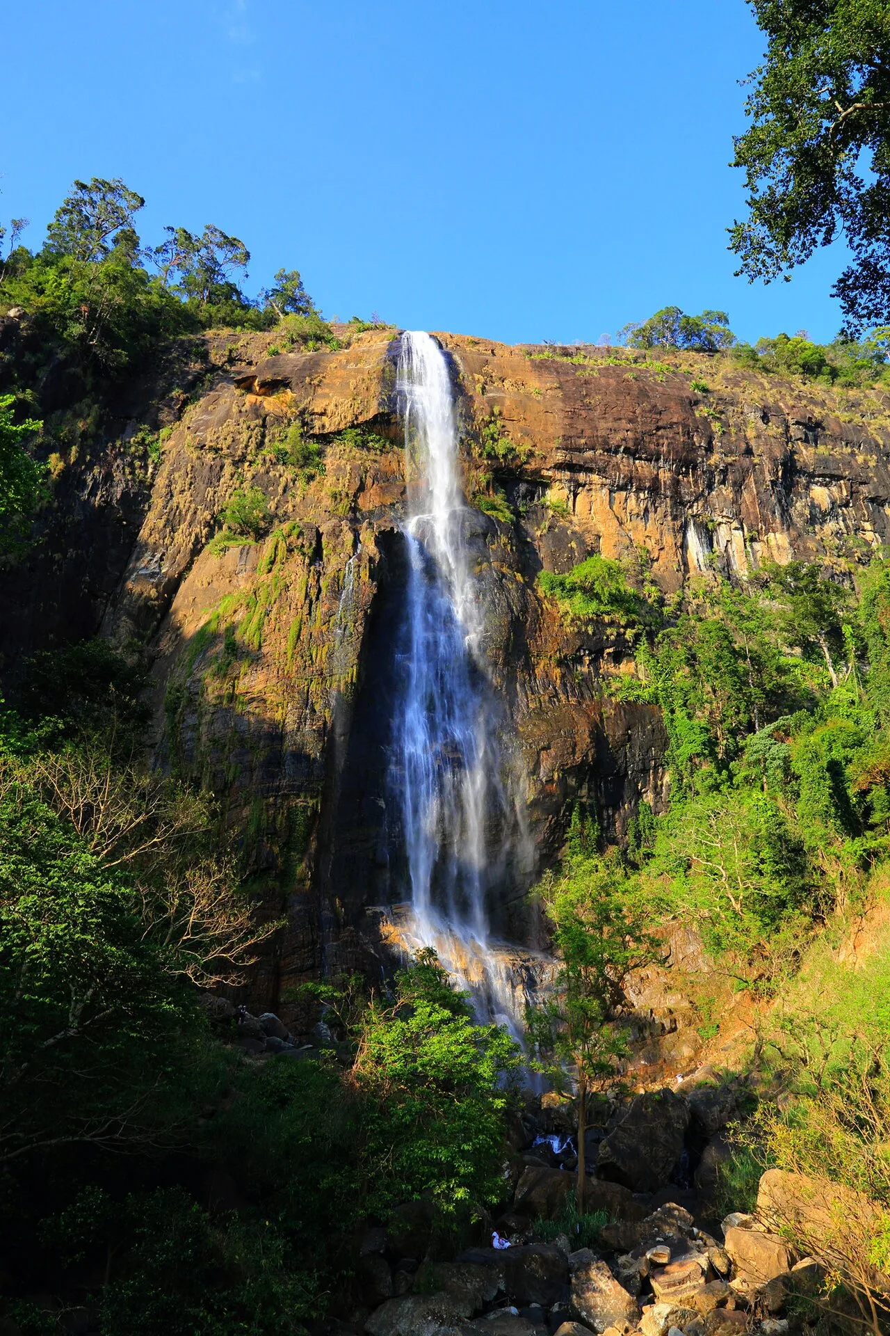
- Top sights: Samanalawewa Reservoir · Kuragala Ruins · Galtemyaya Ruins
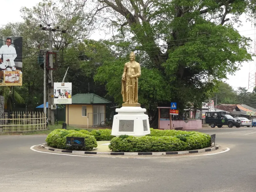
- Nearby: Nuwara Eliya (6 km)
Best time to visit & climate
The most pleasant time to visit is Feb, Jun, Jul.
| Jan | Feb | Mar | Apr | May | Jun | Jul | Aug | Sep | Oct | Nov | Dec | |
|---|---|---|---|---|---|---|---|---|---|---|---|---|
| Avg °C | 24 | 25 | 26 | 27 | 27 | 27 | 26 | 27 | 27 | 26 | 26 | 25 |
| Rain mm | 140 | 105 | 112 | 188 | 167 | 91 | 73 | 94 | 147 | 250 | 306 | 247 |
📋 Practical info
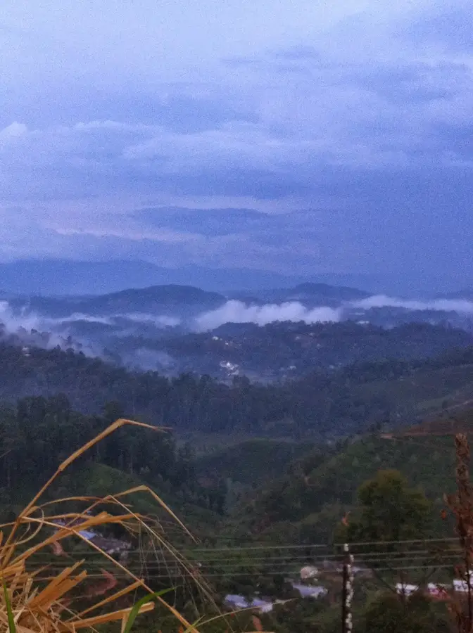
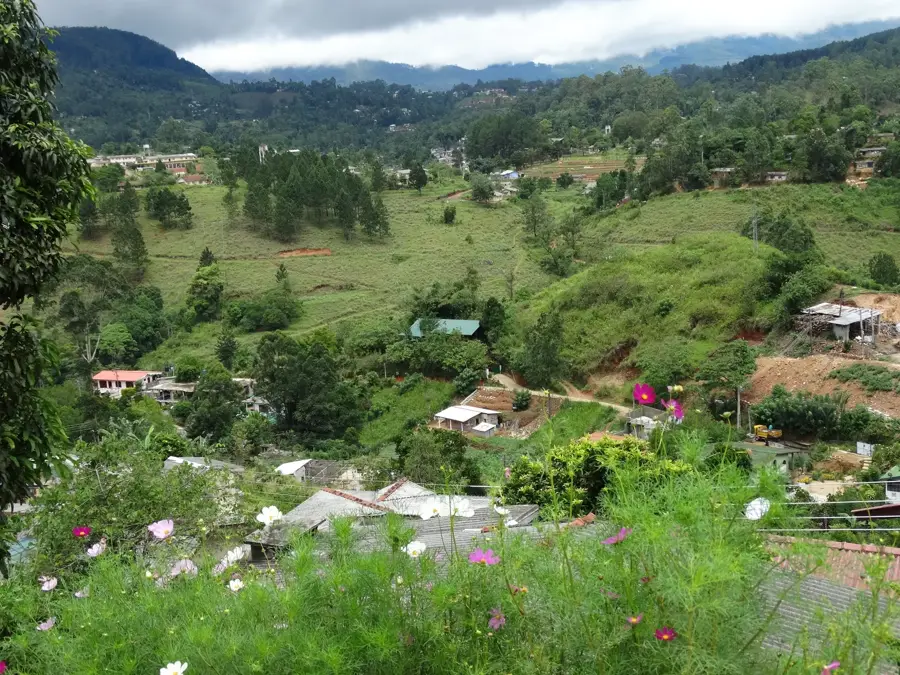
Geography
Facts
- The dam is 100 meters high and was completed in 1991.
- It houses two 60 MW turbines, totaling a capacity of 120 MW.
- The project was funded by the Japanese OECF and the UK's CDC.
- The reservoir's total storage capacity is approximately 218 million cubic meters.
- A persistent leak in the limestone foundation remains a technical issue.
- It is located near the town of Balangoda in the Sabaragamuwa Province.
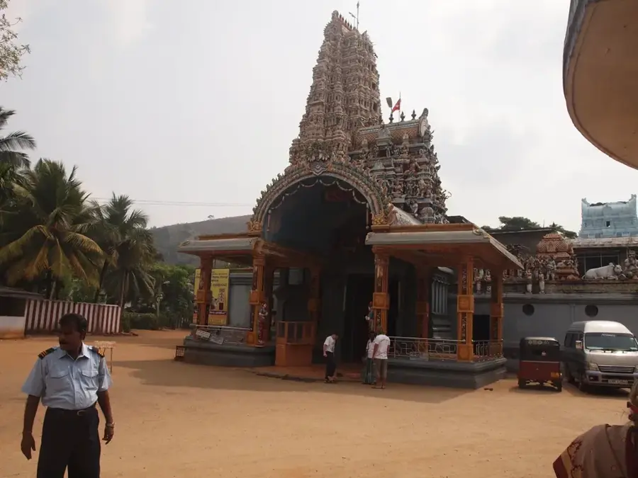
Explore nearby
Notable places around
Route planner — Car & Motorhome
Where do you start? We build the route here, with stops and country notes along the way.
© OpenStreetMap contributors · OpenRouteService
Sights in the town Samanalawewa Dam (8)
Sights nearby
Frequently asked questions
What is the Samanalawewa Dam?
Are you allowed to walk on the dam?
Where is the dam located?
What is special about the reservoir?
Are there leakage issues?
Samanalawewa Dam: where is it located?
Samanalawewa Dam: what is there to see?
Samanalawewa Dam: when is the best time to visit?
Samanalawewa Dam: why is it worth visiting?

Nearby cities
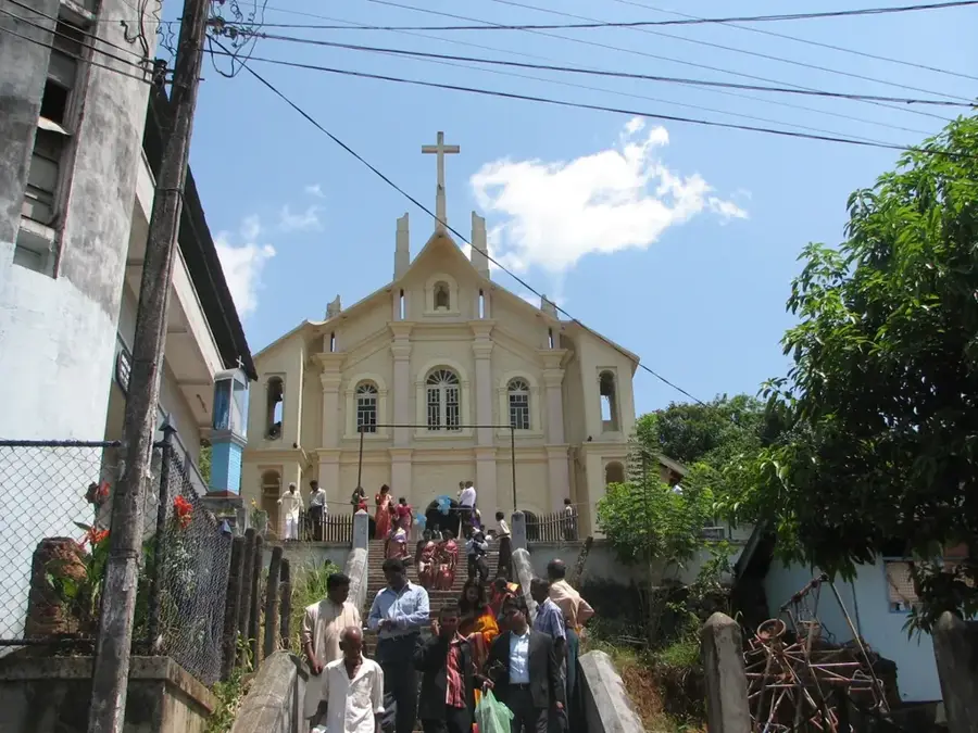

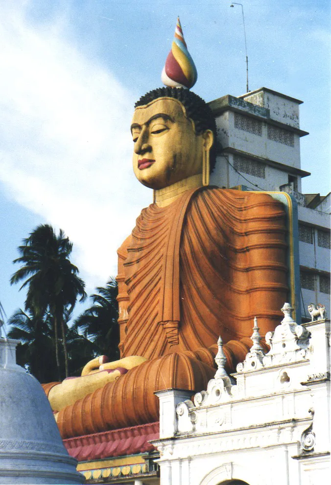
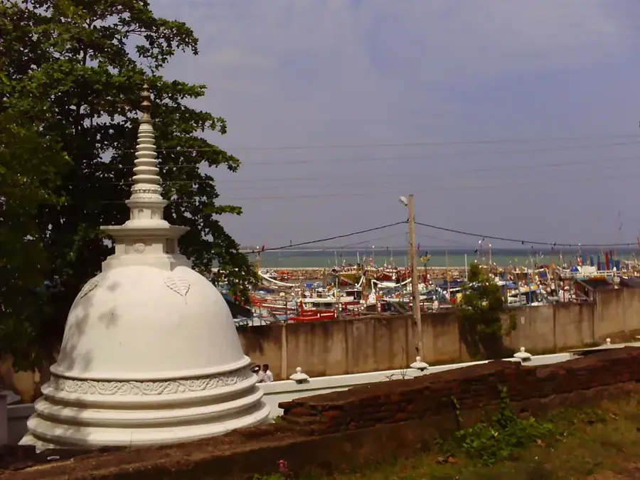
History & landmarks

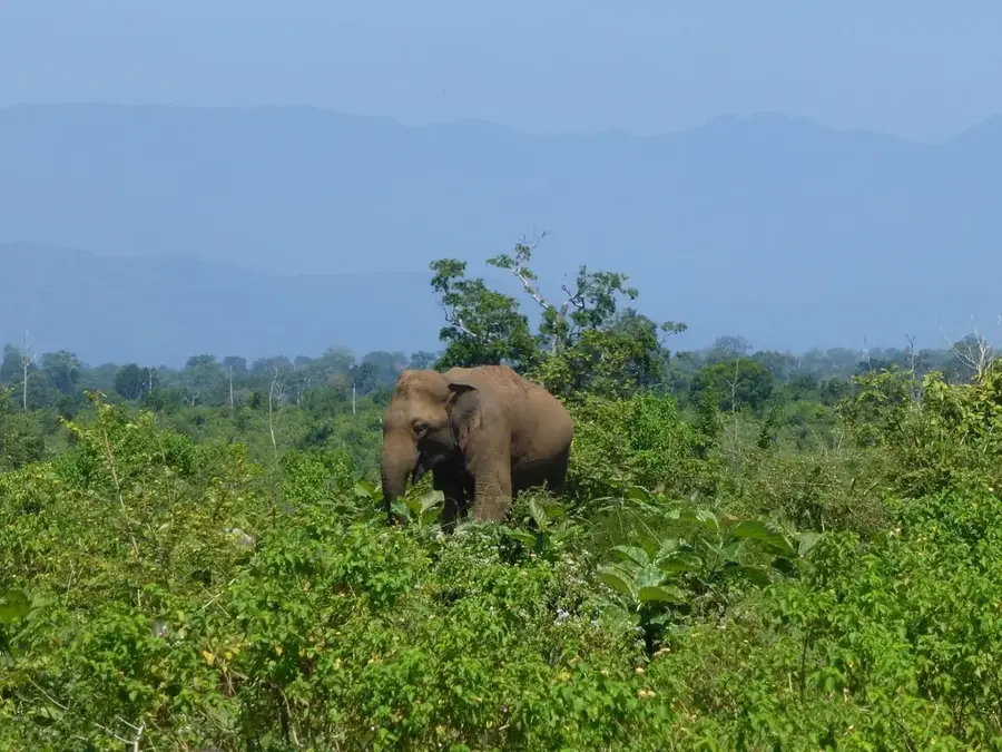
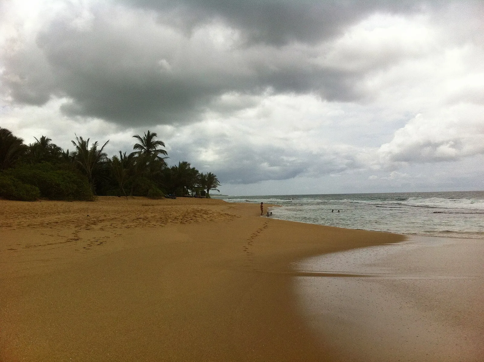
Nature
More places